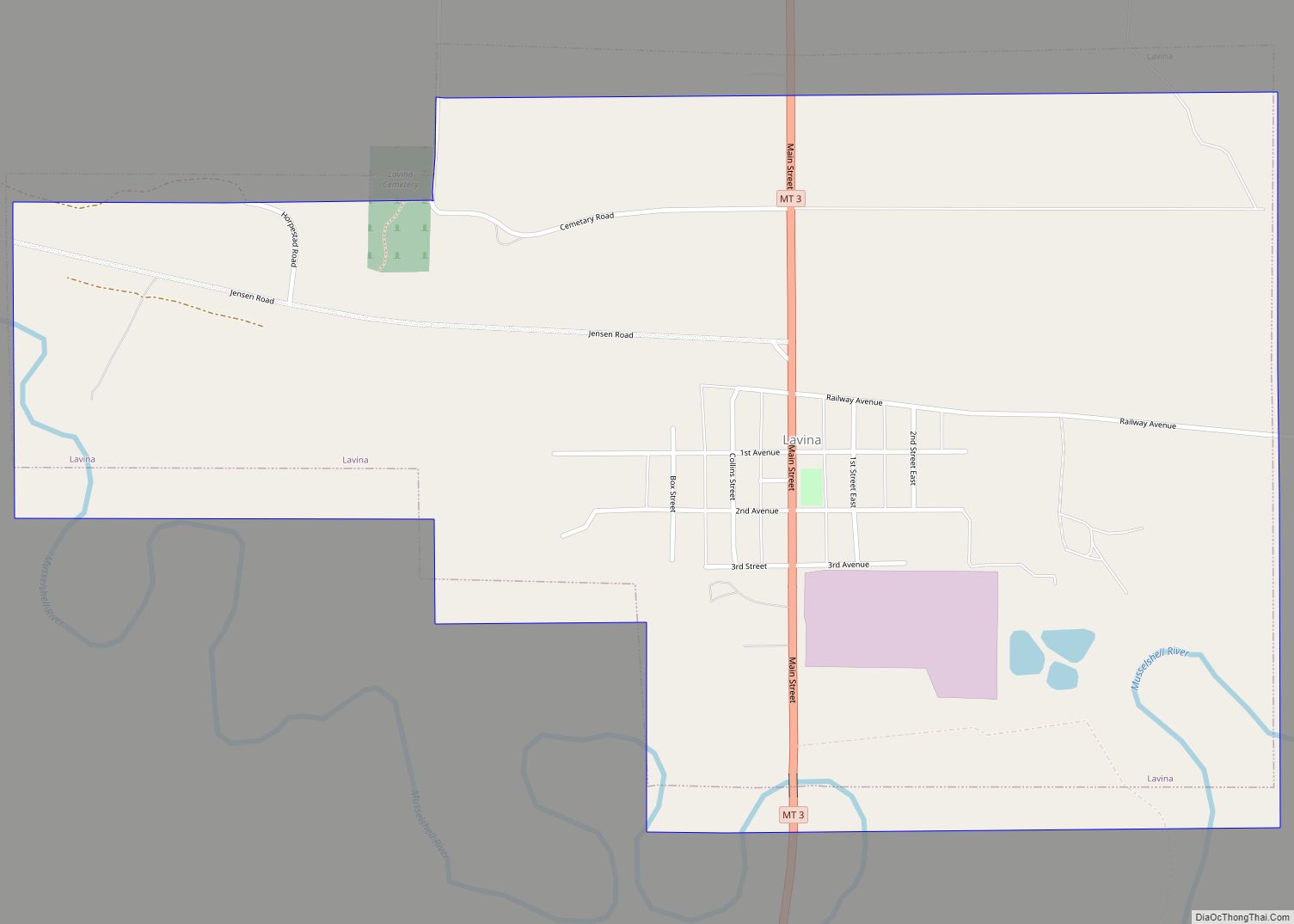
Lavina is a town in Golden Valley County, Montana, United States. The population was 136 at the 2020 census. The town is situated on the north bank of the Musselshell River. The town became a stage stop in 1882. The town incorporated in 1920. Lavina town overview: Name: Lavina town LSAD Code: 43 LSAD Description: ... Read more
Montana Cities and Places
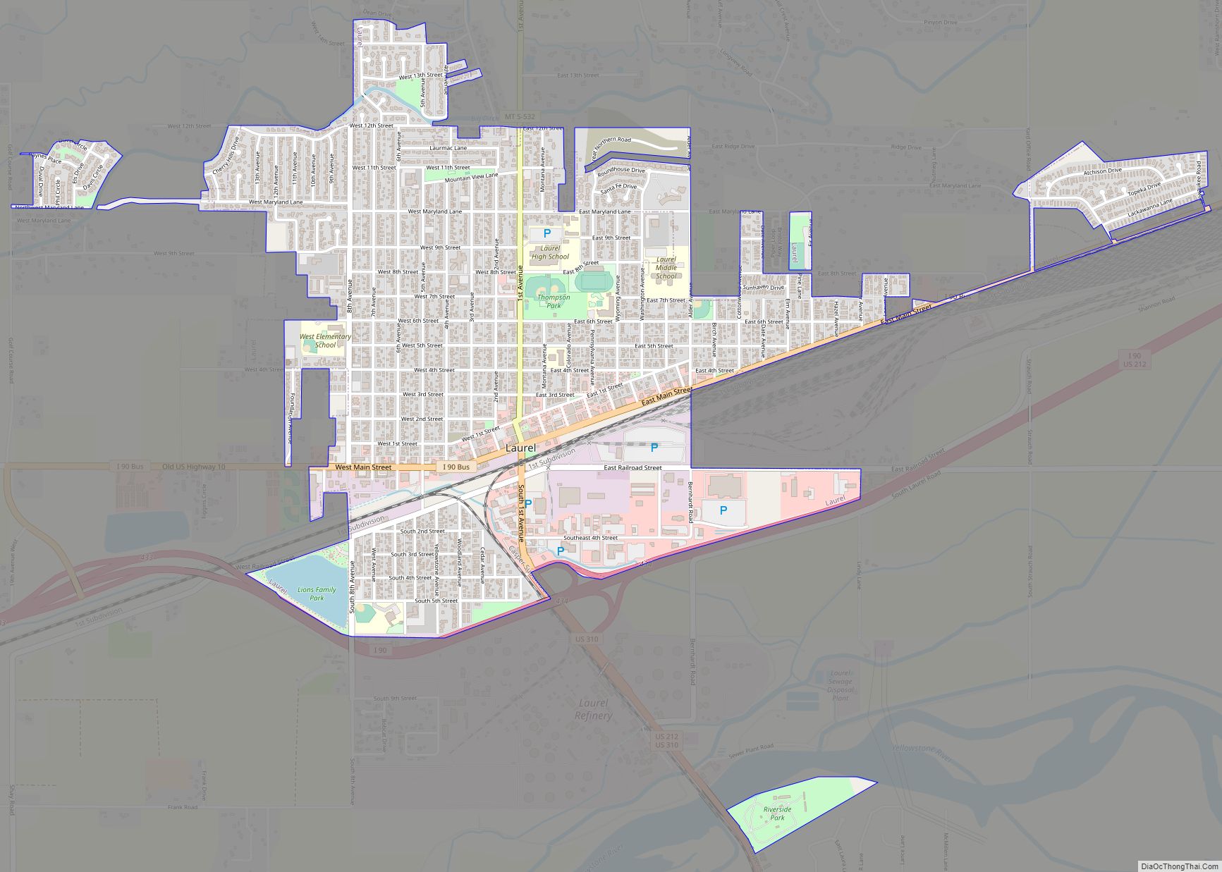
Laurel is a city in Yellowstone County, Montana, United States. It is the third largest community in the Billings Metropolitan Statistical Area, and is located in the Yellowstone Valley, as an east–west terminal division point of the Burlington-Northern Railroad. The population was 7,222 at the 2020 census. Laurel is home to a Cenex Harvest States ... Read more
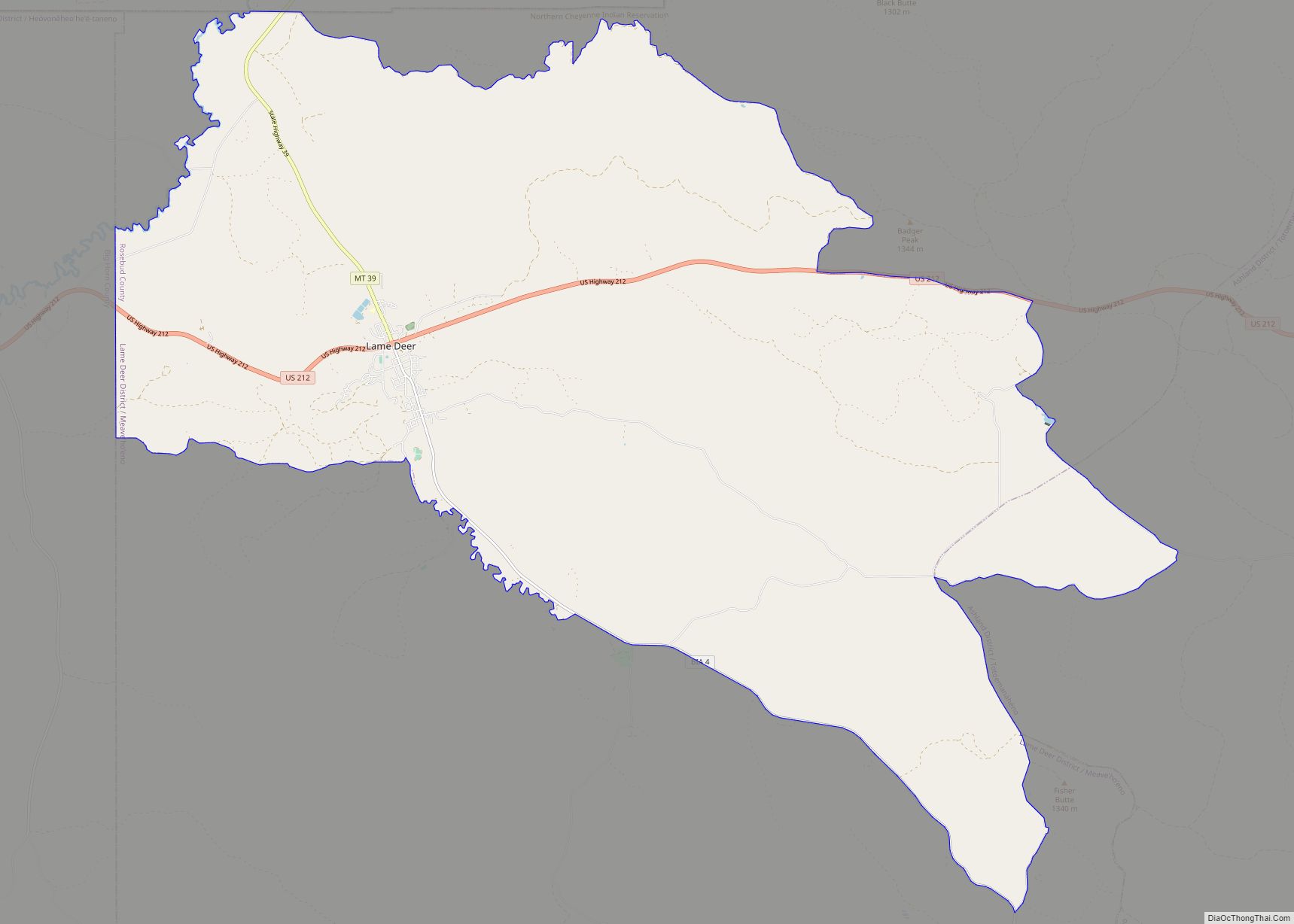
Lame Deer (Meaveʼhoʼeno in Cheyenne) is a census-designated place (CDP) in Rosebud County, Montana, United States. The community is named after Miniconjou Lakota chief Lame Deer, who was killed by the U.S. Army in 1877 under a flag of truce south of the town. It was the site of a trading post from the late ... Read more
Lincoln is an unincorporated community and census-designated place (CDP) in Lewis and Clark County, Montana, United States. As of the 2010 census, the population was 1,013. Lincoln CDP overview: Name: Lincoln CDP LSAD Code: 57 LSAD Description: CDP (suffix) State: Montana County: Lewis and Clark County Elevation: 4,541 ft (1,384 m) Total Area: 18.06 sq mi (46.79 km²) Land Area: ... Read more
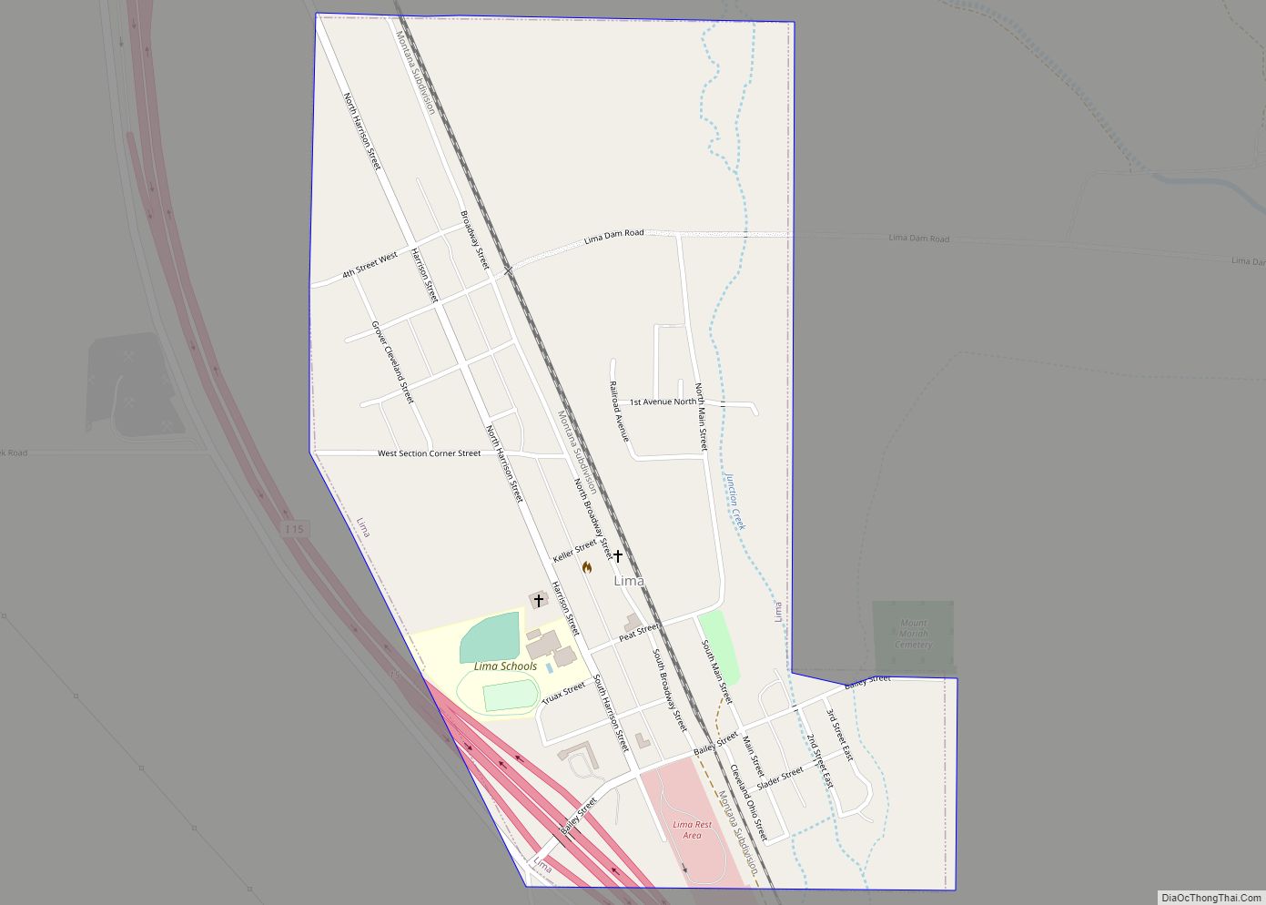
Lima (/ˈlaɪmə/, LY-mə) is a town in Beaverhead County, Montana, United States. The population was 212 at the 2020 census. Lima town overview: Name: Lima town LSAD Code: 43 LSAD Description: town (suffix) State: Montana County: Beaverhead County Elevation: 6,257 ft (1,907 m) Total Area: 0.55 sq mi (1.42 km²) Land Area: 0.55 sq mi (1.42 km²) Water Area: 0.00 sq mi (0.00 km²) Total Population: ... Read more
Libby is a city in northwestern Montana, United States and the county seat of Lincoln County. The population was 2,775 at the 2020 census. Libby suffered from the area’s contamination from nearby vermiculite mines contaminated with particularly fragile asbestos, leading to the town’s inclusion in the United States Environmental Protection Agency’s National Priorities List status ... Read more
Little Bitterroot Lake is a census-designated place (CDP) in Flathead County, Montana, United States. The population was 194 at the 2010 census. The town is next to Little Bitterroot Lake. Little Bitterroot Lake CDP overview: Name: Little Bitterroot Lake CDP LSAD Code: 57 LSAD Description: CDP (suffix) State: Montana County: Flathead County Elevation: 3,908 ft (1,191 m) ... Read more
Lindisfarne is a census-designated place (CDP) in Lake County, Montana, United States. The population was 284 at the 2010 census. The community is in north-central Lake County, on the south shore of the Big Arm of Flathead Lake. It is bordered to the west by the community of Big Arm, and it extends to the ... Read more
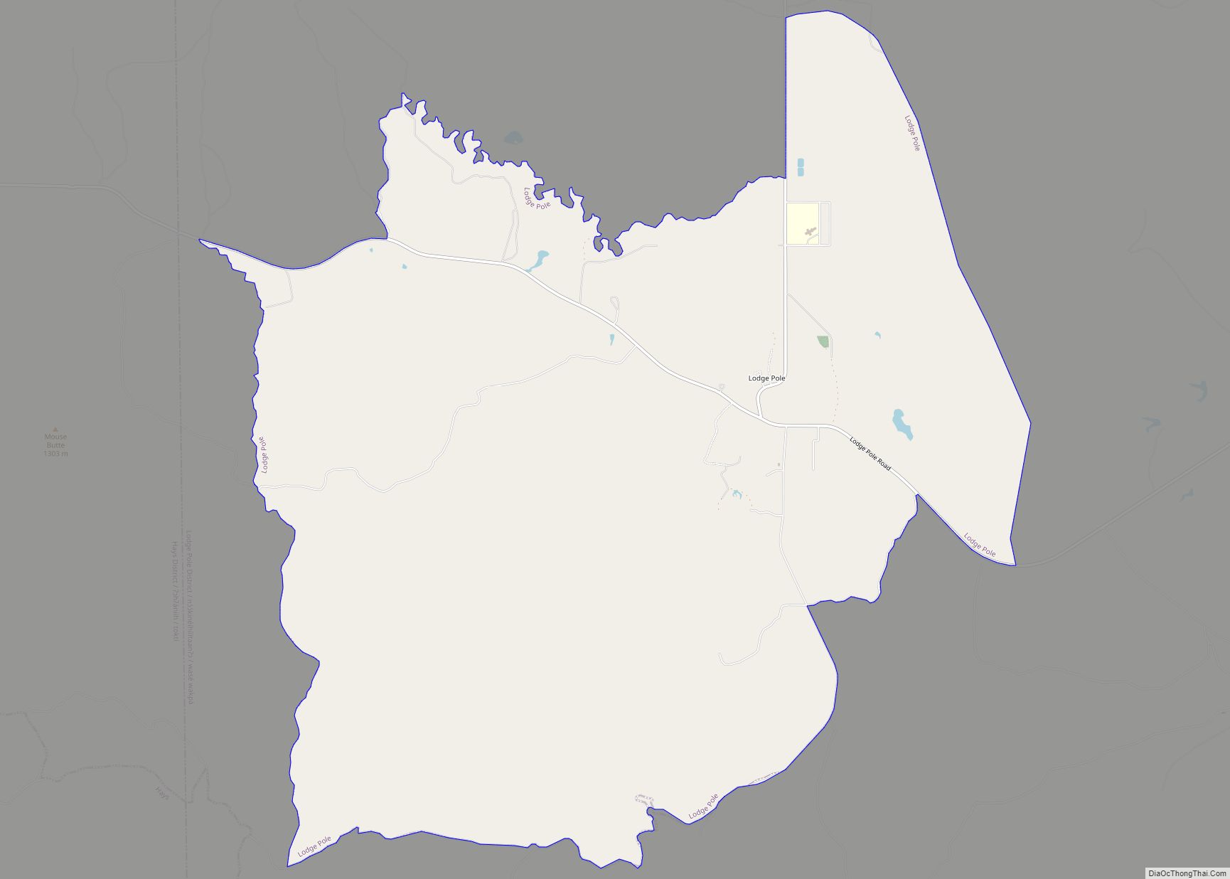
Lodge Pole is a census-designated place (CDP) in Blaine County, Montana, United States. The population was 265 at the 2010 census. It lies within the Fort Belknap Indian Reservation, near the reservation’s southern end. The nearby community of Hays lies to its west-southwest. Lodge Pole CDP overview: Name: Lodge Pole CDP LSAD Code: 57 LSAD ... Read more
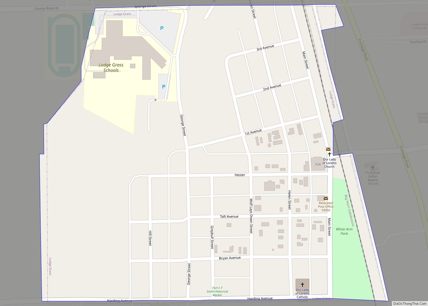
Lodge Grass (Crow: Eelalapiío) is a town in Big Horn County, Montana, United States. The population was 441 at the 2020 census. It is at the confluence of Lodge Grass Creek and the Little Bighorn River, on the Crow Indian Reservation. Lodge Grass town overview: Name: Lodge Grass town LSAD Code: 43 LSAD Description: town ... Read more
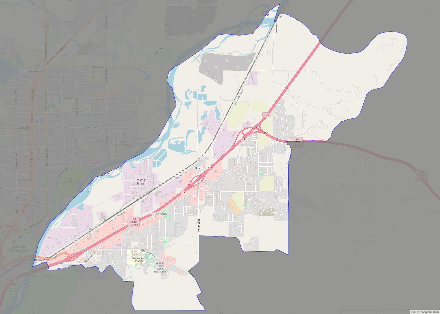
Lockwood is a census-designated place (CDP) in Yellowstone County, Montana, United States. It is not an organized city or town. Lockwood had the largest growth rate in the state of Montana with 57.8% growth since 2000. The 2010 census put Lockwood’s population at 6,797. Lockwood is a suburb of Billings and is the second largest ... Read more
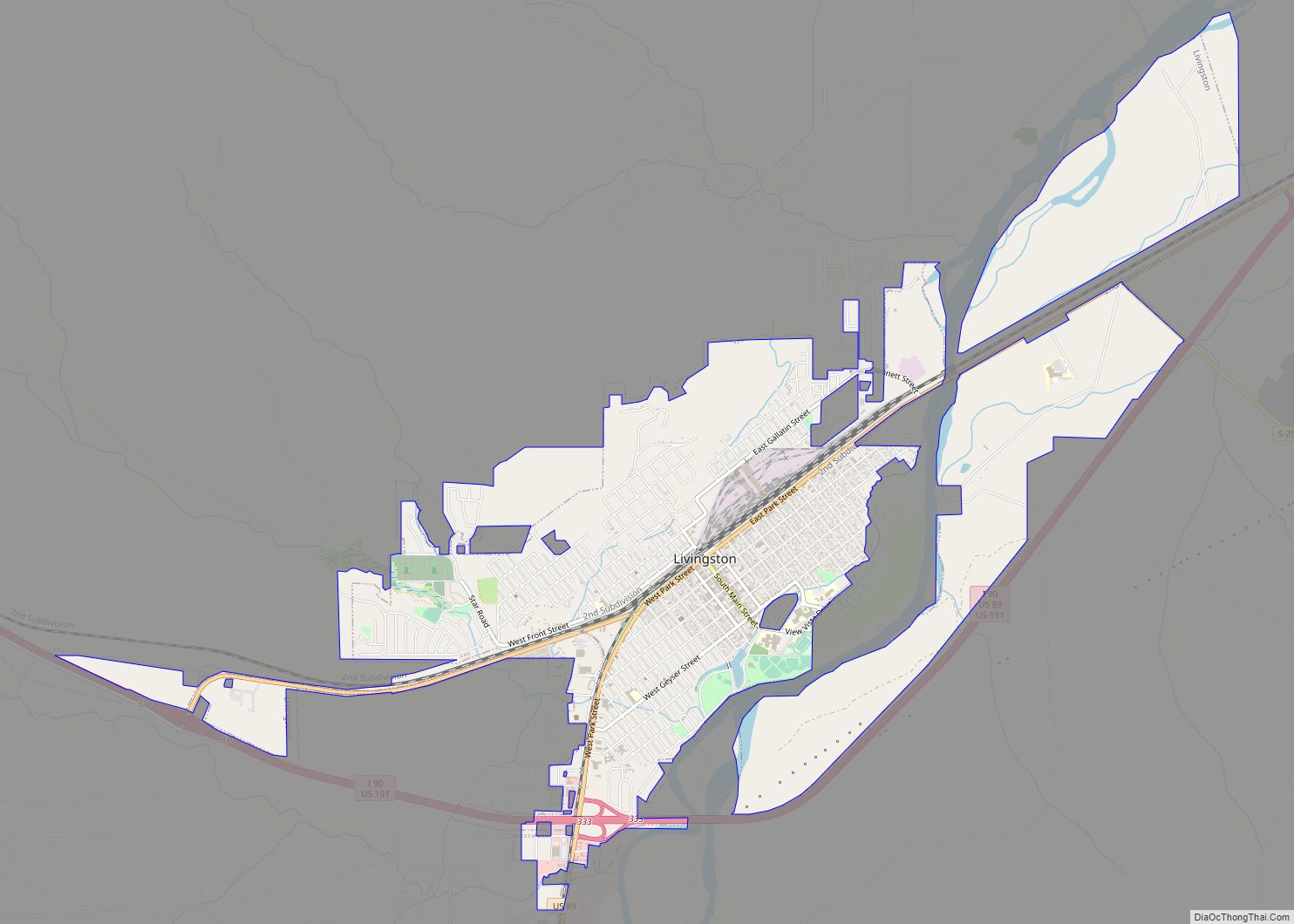
Livingston is a city and county seat of Park County, Montana, United States. It is in southwestern Montana, on the Yellowstone River, north of Yellowstone National Park. As of the 2020 census, the population of the city was 8,040. Livingston city overview: Name: Livingston city LSAD Code: 25 LSAD Description: city (suffix) State: Montana County: ... Read more
