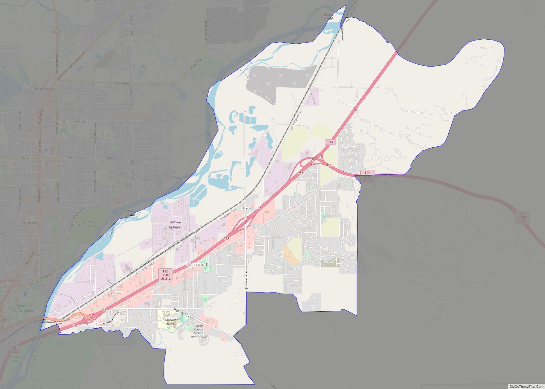
Lockwood is a census-designated place (CDP) in Yellowstone County, Montana, United States. It is not an organized city or town. Lockwood had the largest growth rate in the state of Montana with 57.8% growth since 2000. The 2010 census put Lockwood’s population at 6,797. Lockwood is a suburb of Billings and is the second largest community in the Billings Metropolitan Area. Annexation of Lockwood to Billings has been studied; however, the June 2009 Billings City Council Annexation Plan states that the city has no plans to annex Lockwood in the foreseeable future. Lockwood is the site of a major Exxon refinery.
| Name: | Lockwood CDP |
|---|---|
| LSAD Code: | 57 |
| LSAD Description: | CDP (suffix) |
| State: | Montana |
| County: | Yellowstone County |
| Elevation: | 3,127 ft (953 m) |
| Total Area: | 13.34 sq mi (34.56 km²) |
| Land Area: | 12.86 sq mi (33.29 km²) |
| Water Area: | 0.49 sq mi (1.26 km²) |
| Total Population: | 7,195 |
| Population Density: | 559.70/sq mi (216.10/km²) |
| ZIP code: | 59101 |
| Area code: | 406 |
| FIPS code: | 3044200 |
| GNISfeature ID: | 2408626 |
Online Interactive Map
Click on ![]() to view map in "full screen" mode.
to view map in "full screen" mode.
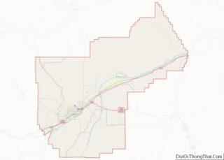
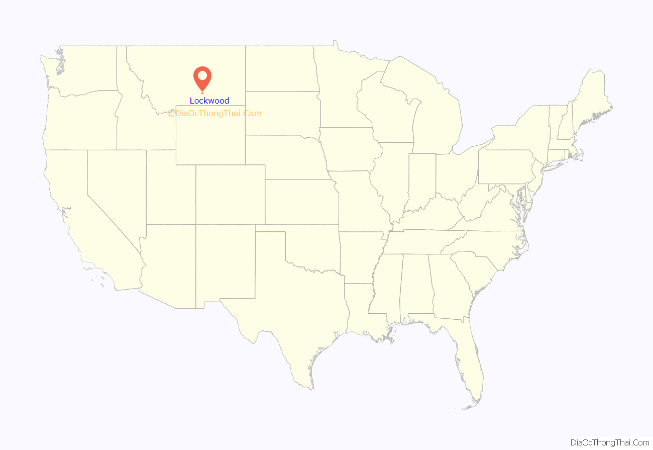
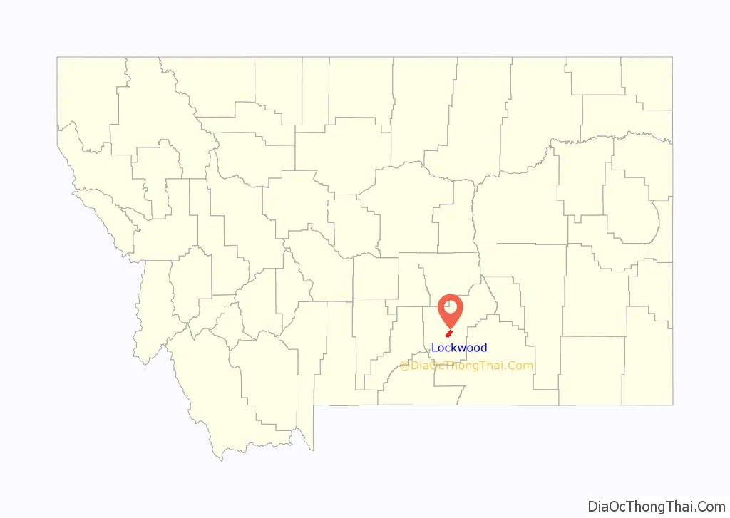
Lockwood location map. Where is Lockwood CDP?
History
Lockwood bordered the Crow “Mitsiadazi” Reservation, in the 1800s. Cows replacing the buffalo brought an end to the plains Native Americans’ way of life. Lockwood was named after Captain Lockwood, reputed to have many victories fighting Native Americans and to have been a surveyor for the government who camped in the foothills in the late 1800s. In 1907, settlers opened a public road through Lockwood flats of heavy loam to the 2nd crossing of Dry Creek, to the Dry Creek Road traversing to the Reservation. The old Native American supply road is still etched into the side of the hill at the south end of Exxon Road which was later called Peter Hoe Road.
Lockwood Flats was home of the Johnson Ranch. Just to the southeast of the ranch, one can find reminisces of Cavalry camps as they stay in the area for a whole winter surveying the land for the federal government. The area known as Lockwood Flats was also originally the site of a stop called Hirsch, located just between Johnson Lane and old Coulson Road. A community began to develop around it, however, the topographical name Lockwood stuck, and the name Hirsch was eventually forgotten. On June 16, 1965, an F3 tornado touched down near Lockwood. It was the strongest tornado ever recorded in Yellowstone County.
Today, Lockwood has grown to become the largest unincorporated community in the state of Montana and the 16th largest population center in the state. Lockwood is also one of the fastest-growing communities in Montana, with an estimated 58% increase between the 2000 and 2010 censuses. In 2010, Lockwood gained status as a Census Designated Place. Residents and local businesses are working with Yellowstone County and the City of Billings to create a framework for proper infrastructure and zone planning, as well as an eventual incorporation as an official municipality.
On October 24, 2013, Lockwood residents gathered for a large community meeting with 250 attendees to discuss and organize community interest, goals, and direction. Pictures of the historic meeting were recorded of the event and posted on the new [www.lockwoodmontana.com community website]. Groups were organized and champions were chosen for many different issues whether it was for a high school, incorporation, better roads, Billings bypass, community garden, community festival, water & sewer, lighting, sidewalks, and businesses. A celebration was held one year from the historic gathering to celebrate the progress that had been made.
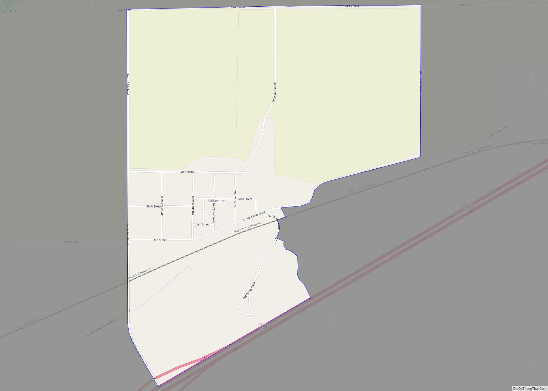
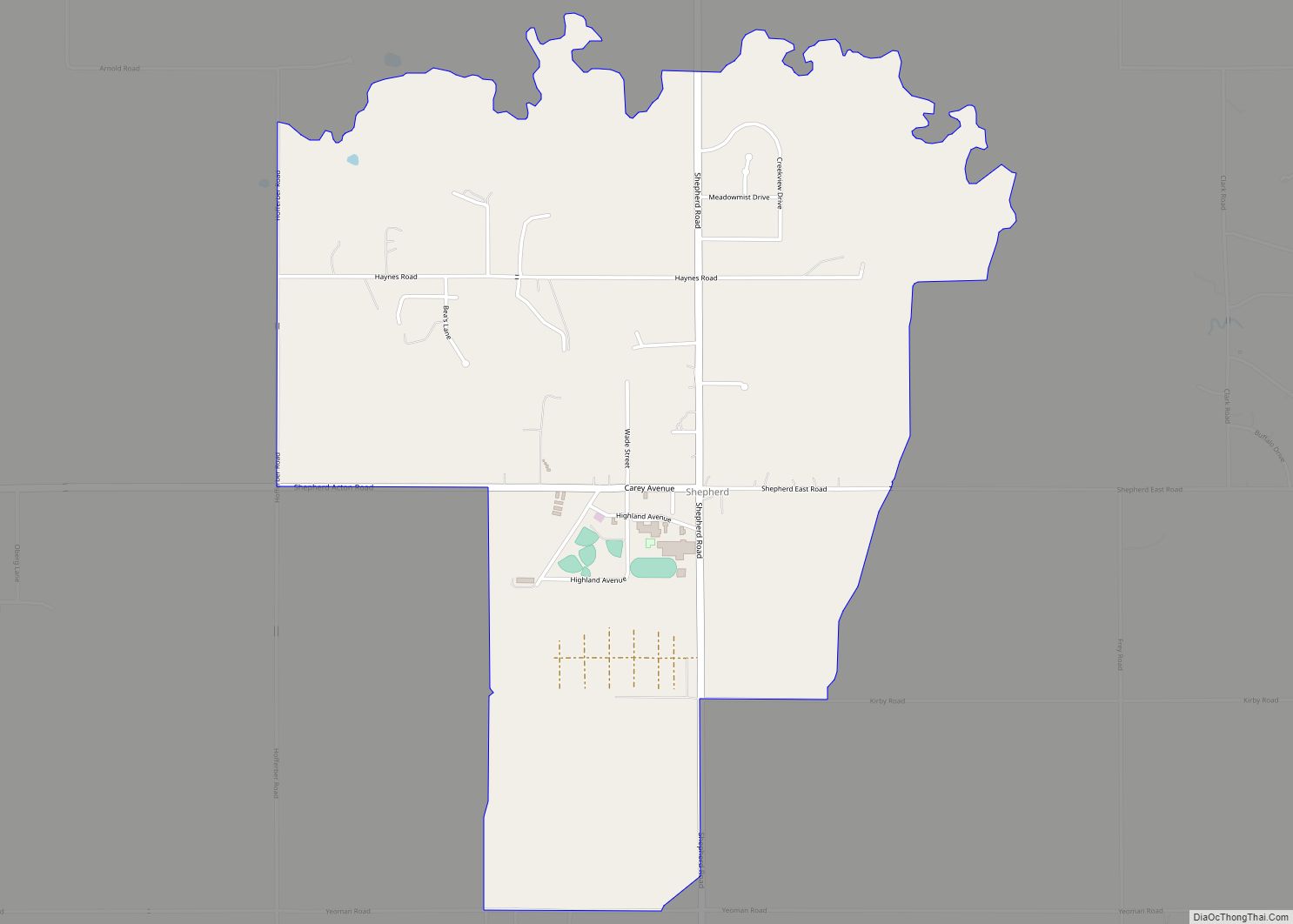
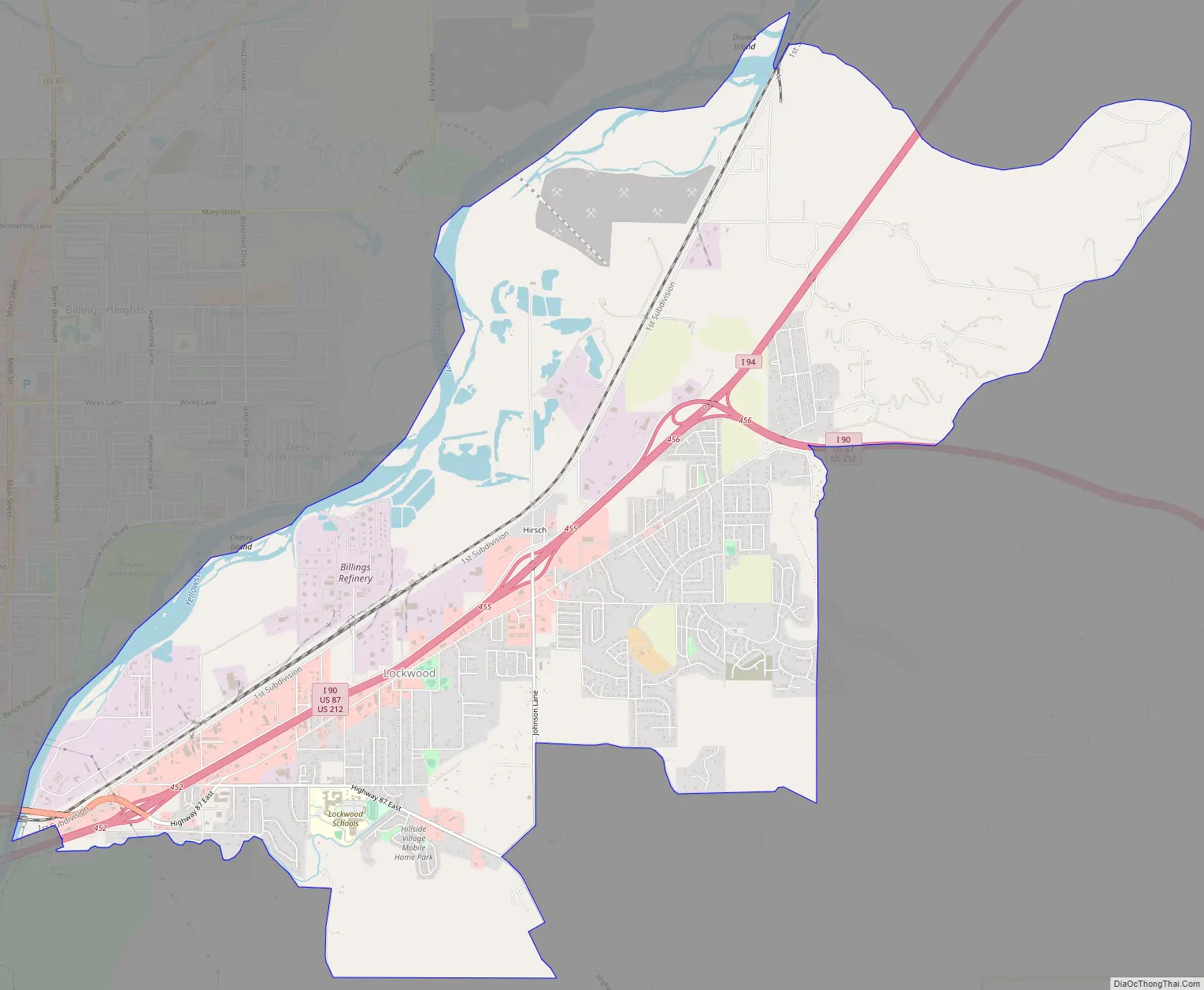
Lockwood Road Map
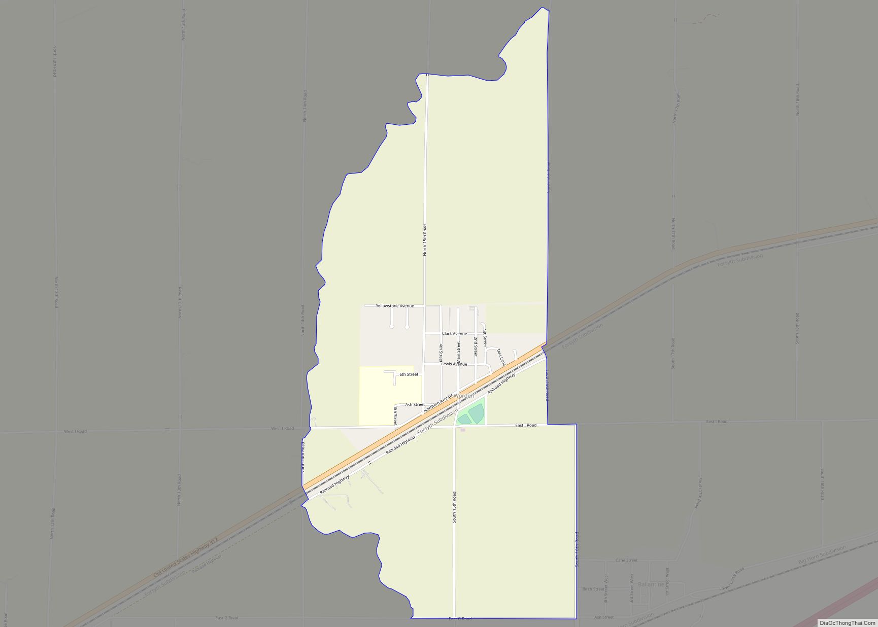
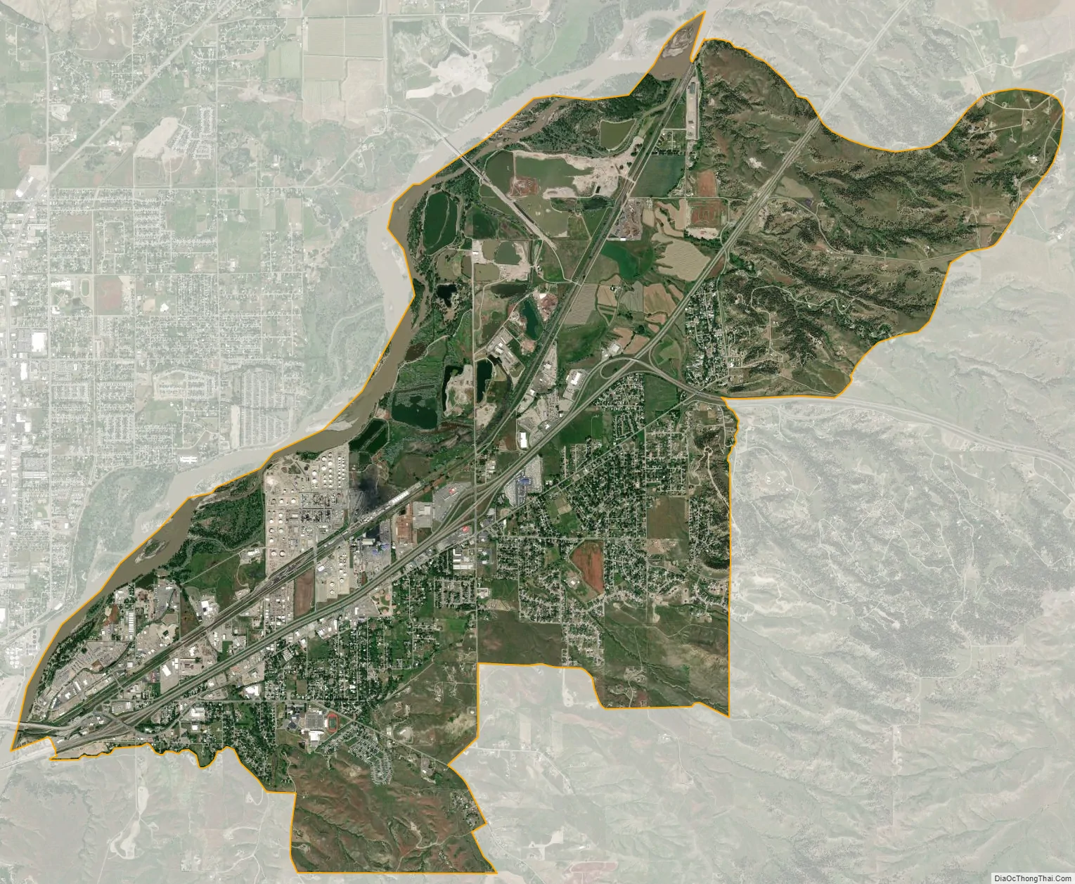
Lockwood city Satellite Map
Geography
Lockwood is located at 45°48′27″N 108°25′25″W / 45.80750°N 108.42361°W / 45.80750; -108.42361 (45.807504, -108.423600). The CDP has a total area of 12.90 square miles (33.4 km) with 527 inhabitants per square mile (203/km).
See also
Map of Montana State and its subdivision:- Beaverhead
- Big Horn
- Blaine
- Broadwater
- Carbon
- Carter
- Cascade
- Chouteau
- Custer
- Daniels
- Dawson
- Deer Lodge
- Fallon
- Fergus
- Flathead
- Gallatin
- Garfield
- Glacier
- Golden Valley
- Granite
- Hill
- Jefferson
- Judith Basin
- Lake
- Lewis and Clark
- Liberty
- Lincoln
- Madison
- McCone
- Meagher
- Mineral
- Missoula
- Musselshell
- Park
- Petroleum
- Phillips
- Pondera
- Powder River
- Powell
- Prairie
- Ravalli
- Richland
- Roosevelt
- Rosebud
- Sanders
- Sheridan
- Silver Bow
- Stillwater
- Sweet Grass
- Teton
- Toole
- Treasure
- Valley
- Wheatland
- Wibaux
- Yellowstone
- Alabama
- Alaska
- Arizona
- Arkansas
- California
- Colorado
- Connecticut
- Delaware
- District of Columbia
- Florida
- Georgia
- Hawaii
- Idaho
- Illinois
- Indiana
- Iowa
- Kansas
- Kentucky
- Louisiana
- Maine
- Maryland
- Massachusetts
- Michigan
- Minnesota
- Mississippi
- Missouri
- Montana
- Nebraska
- Nevada
- New Hampshire
- New Jersey
- New Mexico
- New York
- North Carolina
- North Dakota
- Ohio
- Oklahoma
- Oregon
- Pennsylvania
- Rhode Island
- South Carolina
- South Dakota
- Tennessee
- Texas
- Utah
- Vermont
- Virginia
- Washington
- West Virginia
- Wisconsin
- Wyoming