Libby is a city in northwestern Montana, United States and the county seat of Lincoln County. The population was 2,775 at the 2020 census.
Libby suffered from the area’s contamination from nearby vermiculite mines contaminated with particularly fragile asbestos, leading to the town’s inclusion in the United States Environmental Protection Agency’s National Priorities List status in 2002 and Public Health Emergency event in 2009. Most risk was reduced by 2015.
Local natural features such as the Kootenai Falls have attracted tourism to the area and have been featured in movies such as The River Wild (1994) and The Revenant (2015). There is a public school district and a public library, and the town is in-district for Flathead Valley Community College, which operates the Lincoln County Campus there.
| Name: | Libby city |
|---|---|
| LSAD Code: | 25 |
| LSAD Description: | city (suffix) |
| State: | Montana |
| County: | Lincoln County |
| Elevation: | 2,096 ft (639 m) |
| Total Area: | 1.88 sq mi (4.86 km²) |
| Land Area: | 1.84 sq mi (4.77 km²) |
| Water Area: | 0.04 sq mi (0.09 km²) |
| Total Population: | 2,775 |
| Population Density: | 1,506.51/sq mi (581.64/km²) |
| ZIP code: | 59923 |
| Area code: | 406 |
| FIPS code: | 3043450 |
| GNISfeature ID: | 0786083 |
| Website: | cityoflibby.com |
Online Interactive Map
Click on ![]() to view map in "full screen" mode.
to view map in "full screen" mode.
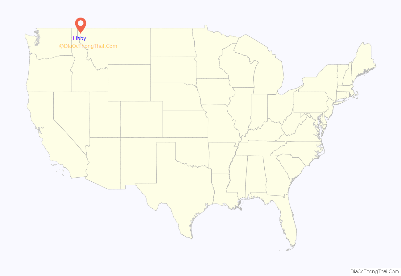
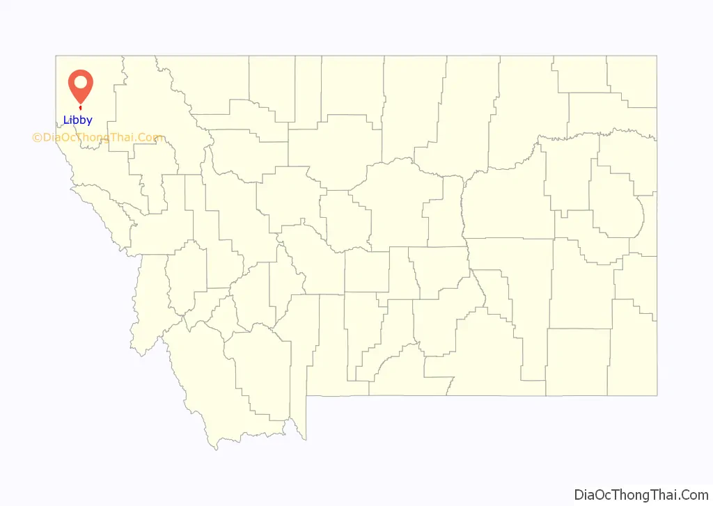
Libby location map. Where is Libby city?
History
Continental and alpine glaciers shaped the area’s valleys and lakes. The first indigenous peoples arrived at least 8,000 years ago and hunted and gathered for food. The earliest known American settler, David Thompson, arrived in the 1800s, and early American economic activity included “fur trading, railroad construction, mining, and logging.” Miners flocked to Libby Creek in 1867. It was deserted by the 1870s. In 1892, with the arrival of the Great Northern Railway, the town moved downstream and the name was shortened from Libbysville to Libby.
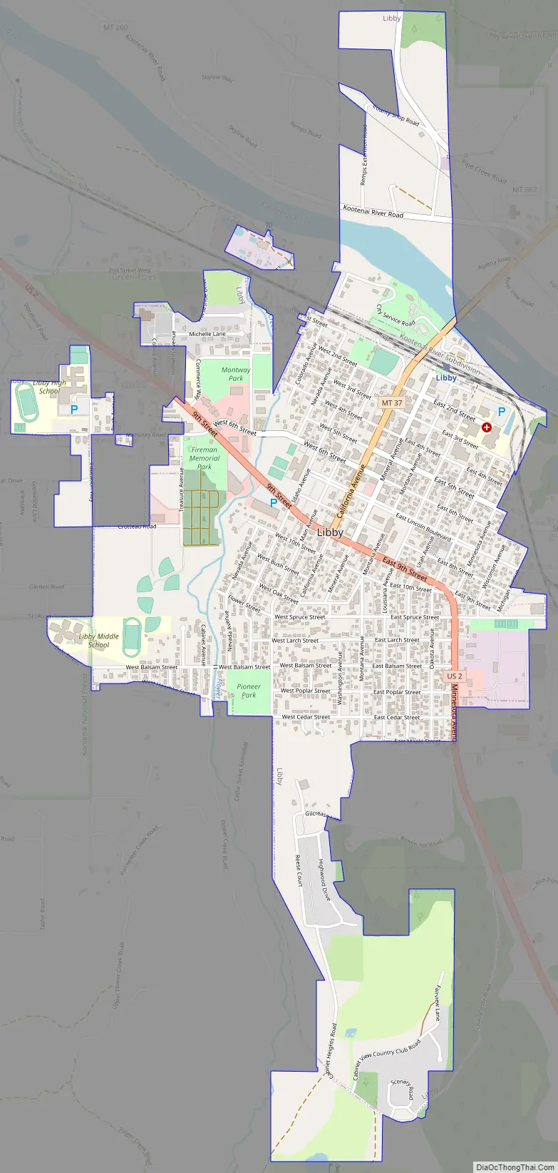
Libby Road Map
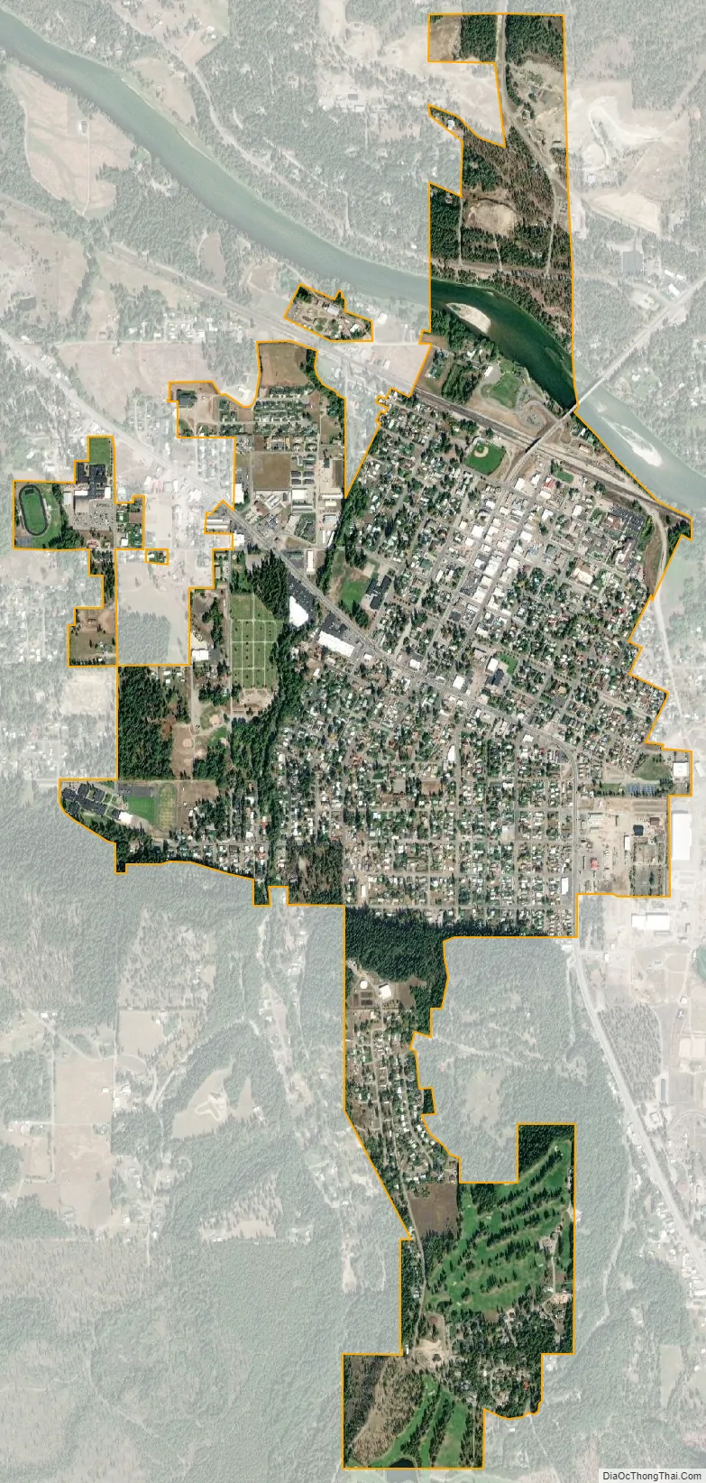
Libby city Satellite Map
Geography
Libby is on U.S. Route 2 at its junction with Montana Highway 37. It is at the confluence of Libby Creek and the Kootenai River.
According to the United States Census Bureau, the city has an area of 1.95 square miles (5.05 km), of which 1.91 square miles (4.95 km) is land and 0.04 square miles (0.10 km) is water. Libby is in the Kootenai National Forest, between the Cabinet Mountains to the south and the Purcell Mountains to the north, the town lies in the heart of the Kootenai Valley along the Kootenai River, and downstream from the Libby Dam. Libby is at an elevation of 2,096 feet (640 m) above sea level.
Libby experiences a continental climate (Köppen Dfb).
See also
Map of Montana State and its subdivision:- Beaverhead
- Big Horn
- Blaine
- Broadwater
- Carbon
- Carter
- Cascade
- Chouteau
- Custer
- Daniels
- Dawson
- Deer Lodge
- Fallon
- Fergus
- Flathead
- Gallatin
- Garfield
- Glacier
- Golden Valley
- Granite
- Hill
- Jefferson
- Judith Basin
- Lake
- Lewis and Clark
- Liberty
- Lincoln
- Madison
- McCone
- Meagher
- Mineral
- Missoula
- Musselshell
- Park
- Petroleum
- Phillips
- Pondera
- Powder River
- Powell
- Prairie
- Ravalli
- Richland
- Roosevelt
- Rosebud
- Sanders
- Sheridan
- Silver Bow
- Stillwater
- Sweet Grass
- Teton
- Toole
- Treasure
- Valley
- Wheatland
- Wibaux
- Yellowstone
- Alabama
- Alaska
- Arizona
- Arkansas
- California
- Colorado
- Connecticut
- Delaware
- District of Columbia
- Florida
- Georgia
- Hawaii
- Idaho
- Illinois
- Indiana
- Iowa
- Kansas
- Kentucky
- Louisiana
- Maine
- Maryland
- Massachusetts
- Michigan
- Minnesota
- Mississippi
- Missouri
- Montana
- Nebraska
- Nevada
- New Hampshire
- New Jersey
- New Mexico
- New York
- North Carolina
- North Dakota
- Ohio
- Oklahoma
- Oregon
- Pennsylvania
- Rhode Island
- South Carolina
- South Dakota
- Tennessee
- Texas
- Utah
- Vermont
- Virginia
- Washington
- West Virginia
- Wisconsin
- Wyoming


