Columbus is a city in and the county seat of Platte County, in the state of Nebraska in the Midwestern United States. The population was 24,028 at the 2020 census, making it the 10th largest city in Nebraska. Columbus city overview: Name: Columbus city LSAD Code: 25 LSAD Description: city (suffix) State: Nebraska County: Platte ... Read more
Nebraska Cities and Places
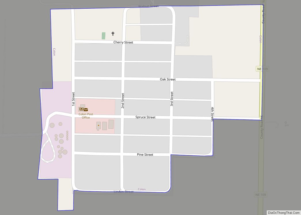
Colon is a village in Saunders County, Nebraska, United States. The population was 107 at the 2020 census. Amenities include a post office and bank branch. Colon is seven miles north of the county seat Wahoo. Colon village overview: Name: Colon village LSAD Code: 47 LSAD Description: village (suffix) State: Nebraska County: Saunders County Elevation: ... Read more
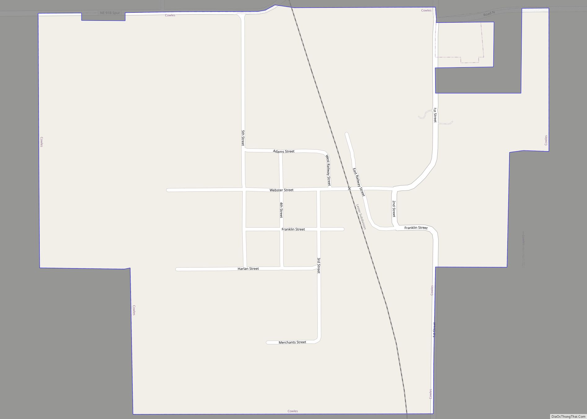
Cowles is a village in Webster County, Nebraska, United States. The population was 30 at the 2010 census. Cowles village overview: Name: Cowles village LSAD Code: 47 LSAD Description: village (suffix) State: Nebraska County: Webster County Elevation: 1,791 ft (546 m) Total Area: 0.56 sq mi (1.44 km²) Land Area: 0.56 sq mi (1.44 km²) Water Area: 0.00 sq mi (0.00 km²) Total Population: 21 Population ... Read more
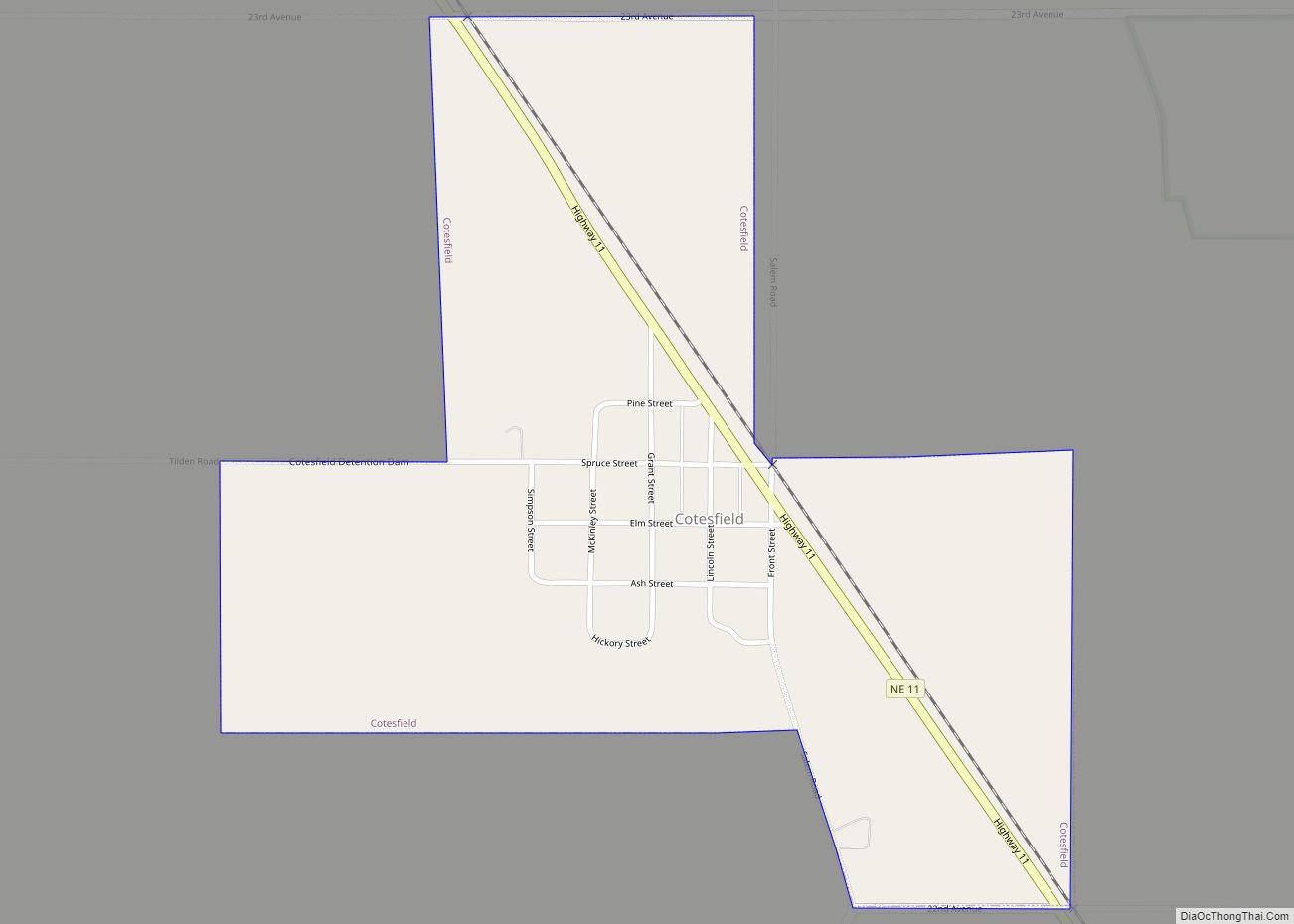
Cotesfield is a village in Howard County, Nebraska, United States. The population was 46 at the 2010 census. It is part of the Grand Island, Nebraska Micropolitan Statistical Area. Cotesfield village overview: Name: Cotesfield village LSAD Code: 47 LSAD Description: village (suffix) State: Nebraska County: Howard County Elevation: 1,896 ft (578 m) Total Area: 0.52 sq mi (1.36 km²) Land ... Read more
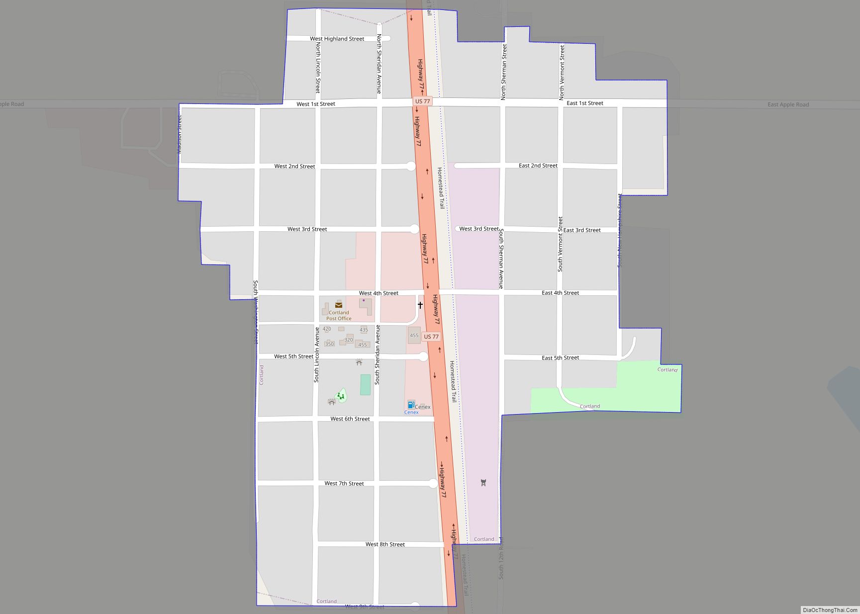
Cortland is a village in Gage County, Nebraska, United States. The population was 504 at the 2020 census. Cortland village overview: Name: Cortland village LSAD Code: 47 LSAD Description: village (suffix) State: Nebraska County: Gage County Elevation: 1,447 ft (441 m) Total Area: 0.26 sq mi (0.68 km²) Land Area: 0.26 sq mi (0.68 km²) Water Area: 0.00 sq mi (0.00 km²) Total Population: 504 Population ... Read more
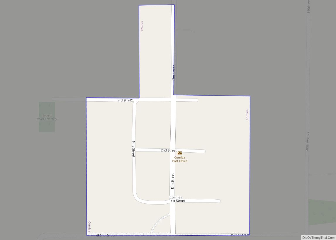
Cornlea is a village in Platte County, Nebraska, United States. The population was 36 at the 2010 census. Cornlea village overview: Name: Cornlea village LSAD Code: 47 LSAD Description: village (suffix) State: Nebraska County: Platte County Elevation: 1,722 ft (525 m) Total Area: 0.09 sq mi (0.24 km²) Land Area: 0.09 sq mi (0.24 km²) Water Area: 0.00 sq mi (0.00 km²) Total Population: 33 Population ... Read more
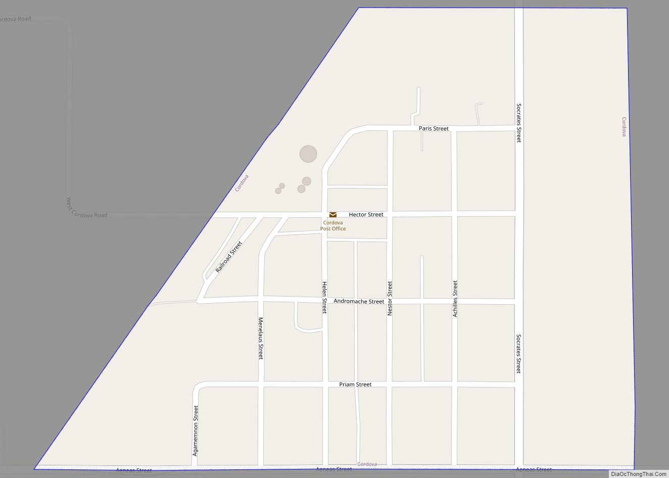
Cordova is a village in Seward County, Nebraska, United States. It is part of the Lincoln, Nebraska Metropolitan Statistical Area. The population was 137 at the 2010 census. Cordova village overview: Name: Cordova village LSAD Code: 47 LSAD Description: village (suffix) State: Nebraska County: Seward County Elevation: 1,568 ft (478 m) Total Area: 0.25 sq mi (0.64 km²) Land Area: ... Read more
Cook is a village in Johnson County, Nebraska, United States. The population was 323 at the 2020 census. Cook village overview: Name: Cook village LSAD Code: 47 LSAD Description: village (suffix) State: Nebraska County: Johnson County Elevation: 1,076 ft (328 m) Total Area: 0.17 sq mi (0.45 km²) Land Area: 0.17 sq mi (0.45 km²) Water Area: 0.00 sq mi (0.00 km²) Total Population: 323 Population ... Read more
Concord is a village in Dixon County, Nebraska, United States. It is part of the Sioux City, IA–NE–SD Metropolitan Statistical Area. The population was 166 at the 2010 census. Concord village overview: Name: Concord village LSAD Code: 47 LSAD Description: village (suffix) State: Nebraska County: Dixon County Elevation: 1,457 ft (444 m) Total Area: 0.13 sq mi (0.34 km²) Land ... Read more
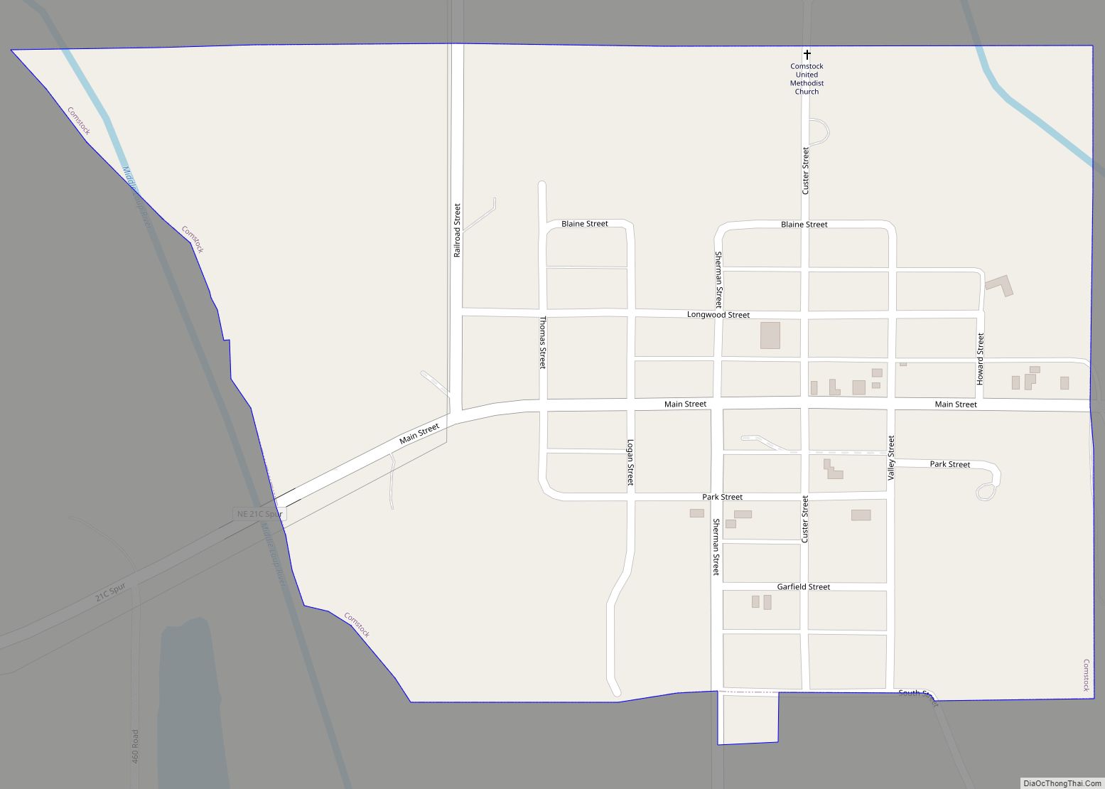
Comstock is a village in Custer County, Nebraska, United States. The population was 93 at the 2010 census. Comstock village overview: Name: Comstock village LSAD Code: 47 LSAD Description: village (suffix) State: Nebraska County: Custer County Elevation: 2,241 ft (683 m) Total Area: 0.35 sq mi (0.91 km²) Land Area: 0.35 sq mi (0.91 km²) Water Area: 0.00 sq mi (0.00 km²) Total Population: 68 Population ... Read more
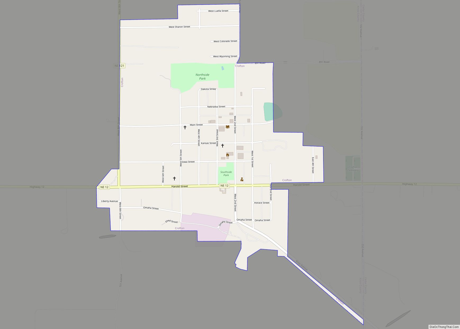
Crofton is a city in Knox County, Nebraska, United States. The population was 726 at the 2010 census. Crofton city overview: Name: Crofton city LSAD Code: 25 LSAD Description: city (suffix) State: Nebraska County: Knox County Elevation: 1,421 ft (433 m) Total Area: 0.64 sq mi (1.66 km²) Land Area: 0.64 sq mi (1.66 km²) Water Area: 0.00 sq mi (0.00 km²) Total Population: 756 Population ... Read more
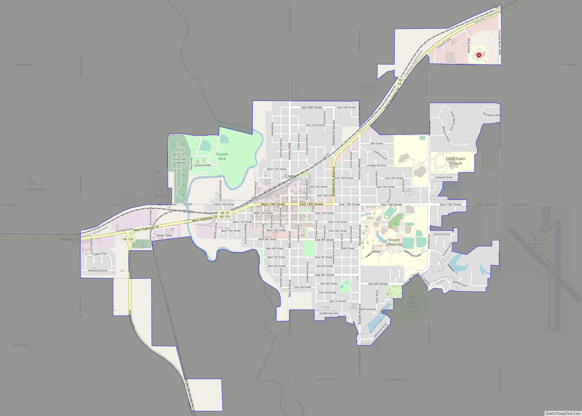
Crete is a city in Saline County, Nebraska, United States. The population was 7,099 at the 2020 census. Crete city overview: Name: Crete city LSAD Code: 25 LSAD Description: city (suffix) State: Nebraska County: Saline County Elevation: 1,352 ft (412 m) Total Area: 3.85 sq mi (9.97 km²) Land Area: 3.80 sq mi (9.84 km²) Water Area: 0.05 sq mi (0.13 km²) Total Population: 7,099 Population ... Read more

