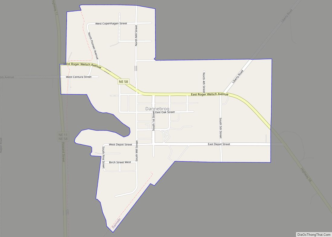
Dannebrog is a village in Howard County, Nebraska, United States. It is part of the Grand Island, Nebraska Micropolitan Statistical Area. The population was 303 at the 2010 census. Dannebrog village overview: Name: Dannebrog village LSAD Code: 47 LSAD Description: village (suffix) State: Nebraska County: Howard County Elevation: 1,854 ft (565 m) Total Area: 0.36 sq mi (0.94 km²) Land ... Read more
Nebraska Cities and Places
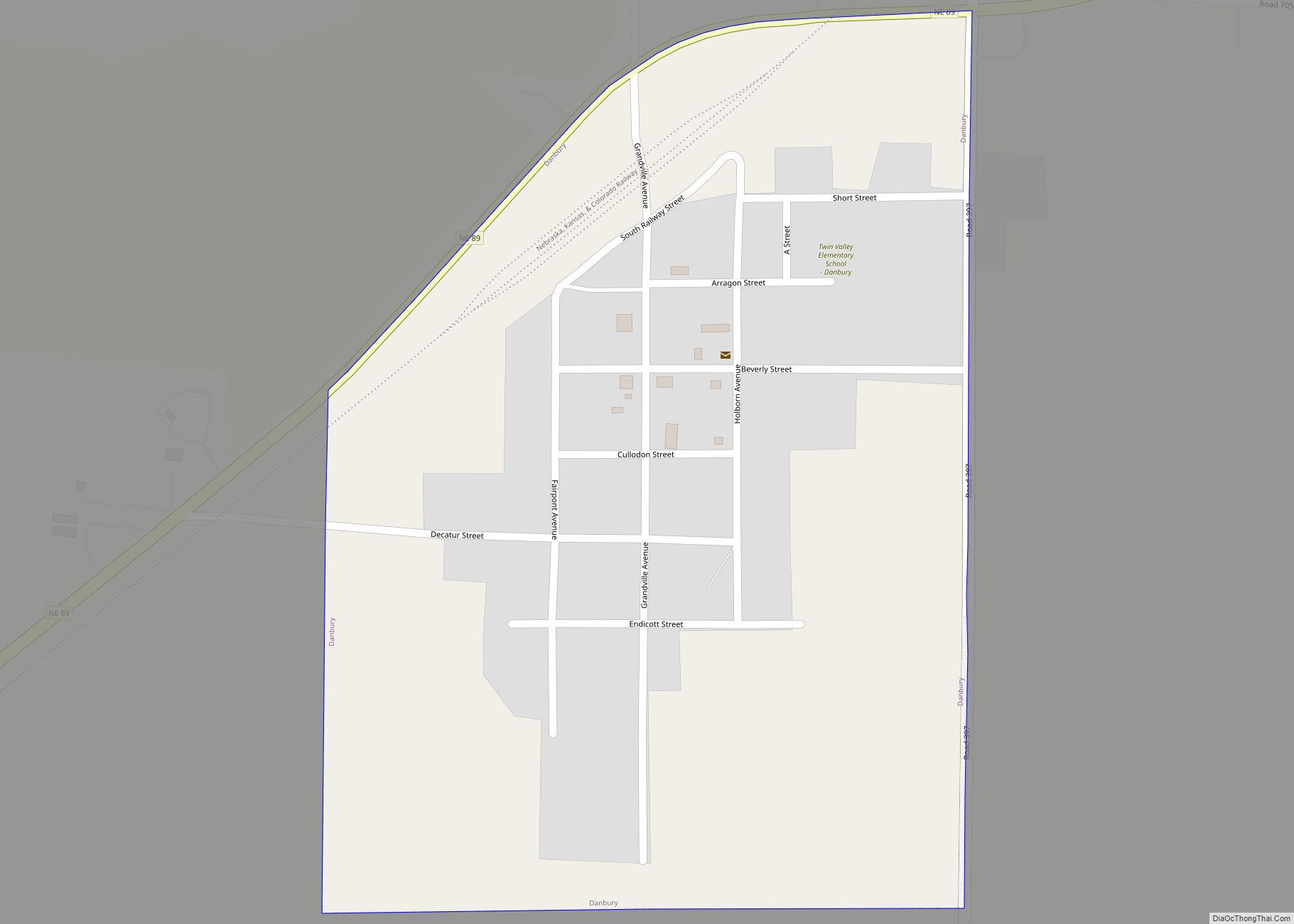
Danbury is a village in Red Willow County, Nebraska, United States. The population was 101 at the 2010 census. Danbury village overview: Name: Danbury village LSAD Code: 47 LSAD Description: village (suffix) State: Nebraska County: Red Willow County Elevation: 2,480 ft (760 m) Total Area: 0.32 sq mi (0.84 km²) Land Area: 0.32 sq mi (0.84 km²) Water Area: 0.00 sq mi (0.00 km²) Total Population: ... Read more
Dalton is a village in Cheyenne County, Nebraska, United States. The population was 315 at the 2010 census. Dalton village overview: Name: Dalton village LSAD Code: 47 LSAD Description: village (suffix) State: Nebraska County: Cheyenne County Elevation: 4,262 ft (1,299 m) Total Area: 0.34 sq mi (0.89 km²) Land Area: 0.34 sq mi (0.89 km²) Water Area: 0.00 sq mi (0.00 km²) Total Population: 284 Population ... Read more
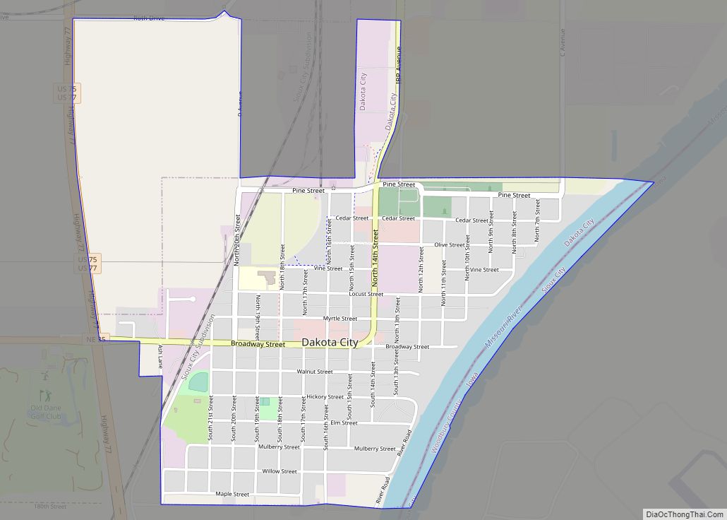
Dakota City is a city in Dakota County, Nebraska, United States. The population was 1,919 at the 2010 census. It is the county seat of Dakota County. Tyson Foods’ largest beef production plant is located in Dakota City. Dakota City city overview: Name: Dakota City city LSAD Code: 25 LSAD Description: city (suffix) State: Nebraska ... Read more
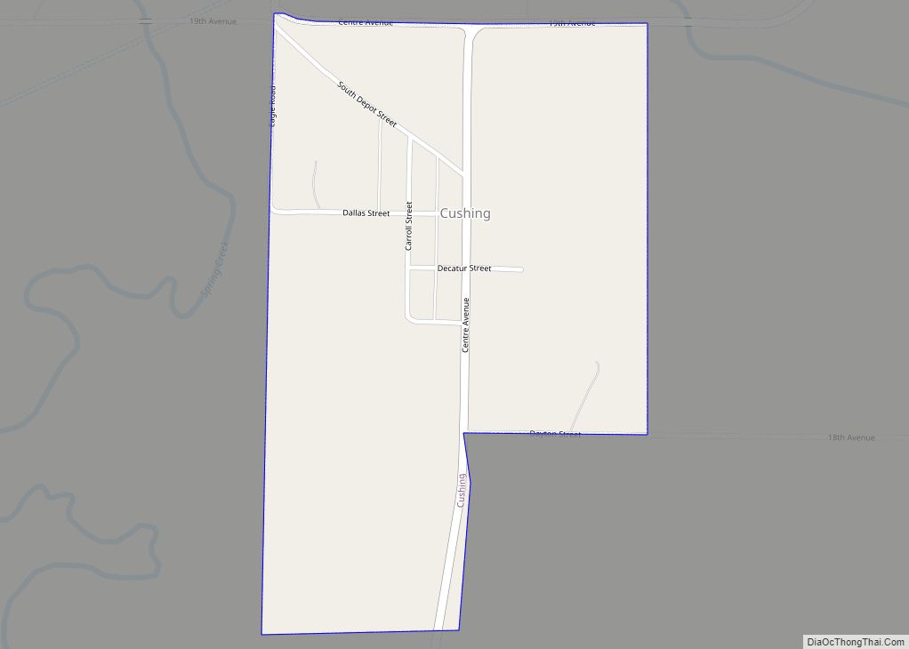
Cushing is a village in Howard County, Nebraska, United States. The population was 32 at the 2010 census. It is part of the Grand Island, Nebraska Micropolitan Statistical Area. Cushing village overview: Name: Cushing village LSAD Code: 47 LSAD Description: village (suffix) State: Nebraska County: Howard County Elevation: 1,798 ft (548 m) Total Area: 0.31 sq mi (0.80 km²) Land ... Read more
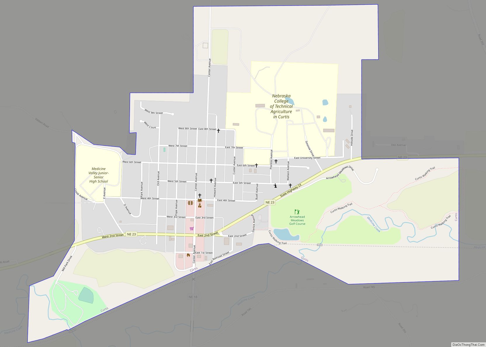
Curtis is a city in Frontier County, Nebraska, United States. The population was 939 at the 2010 census. Curtis describes itself as “Nebraska’s Easter City”, and presents an annual pageant on Palm Sunday. The Nebraska College of Technical Agriculture is located in Curtis. Curtis city overview: Name: Curtis city LSAD Code: 25 LSAD Description: city ... Read more
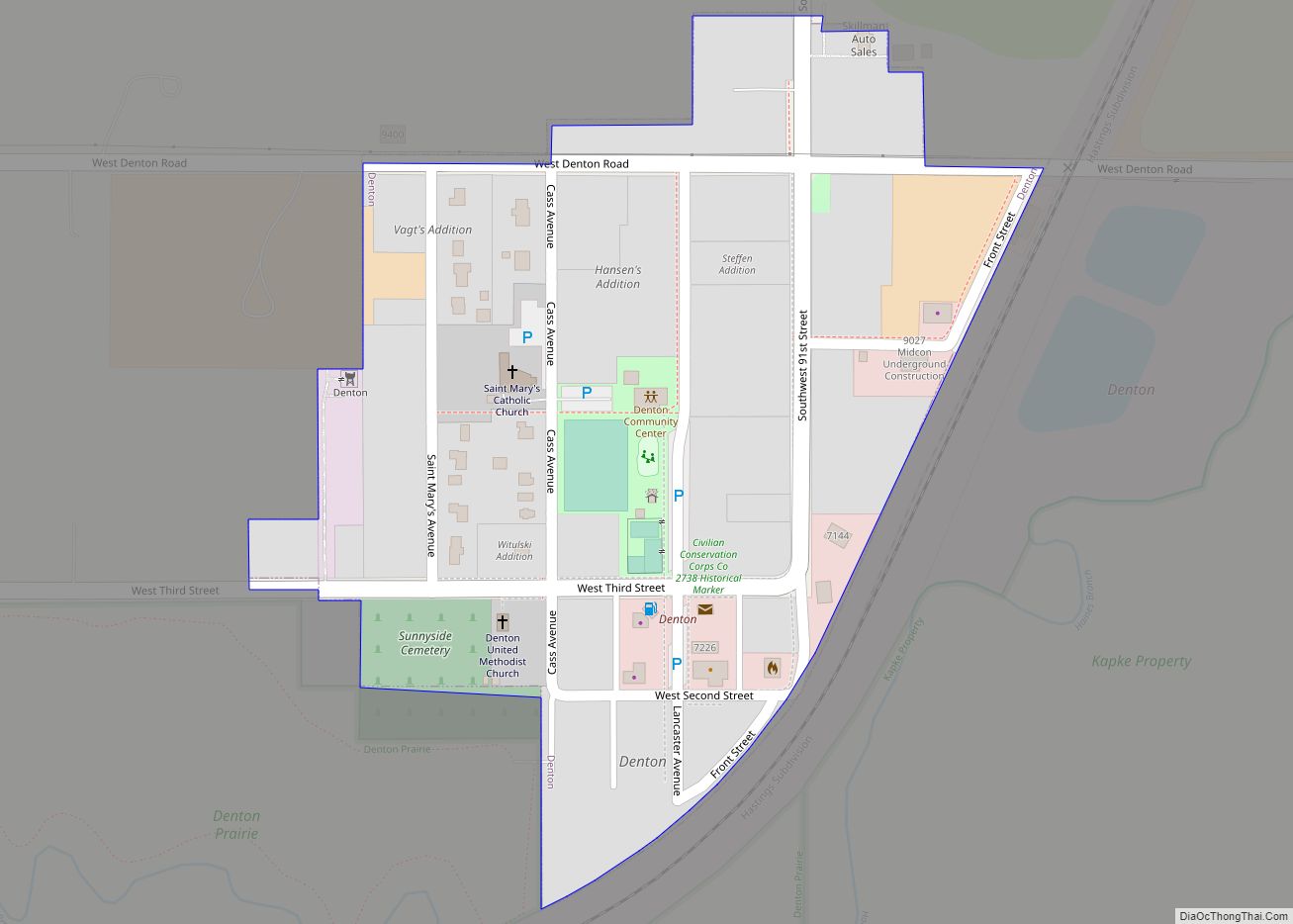
Denton is a village in Lancaster County, Nebraska, United States. It is part of the Lincoln, Nebraska Metropolitan Statistical Area. The population was 189 at the 2020 census. Denton village overview: Name: Denton village LSAD Code: 47 LSAD Description: village (suffix) State: Nebraska County: Lancaster County Elevation: 1,257 ft (383 m) Total Area: 0.12 sq mi (0.32 km²) Land Area: ... Read more
Decatur is a village in Burt County, Nebraska, United States, adjacent to the upper Missouri River. The population was 481 at the 2010 census. This town is named after one of its incorporators, Stephen Decatur. It developed around a trading post established by Colonel Peter Sarpy, the namesake for Sarpy County in the state. Decatur ... Read more
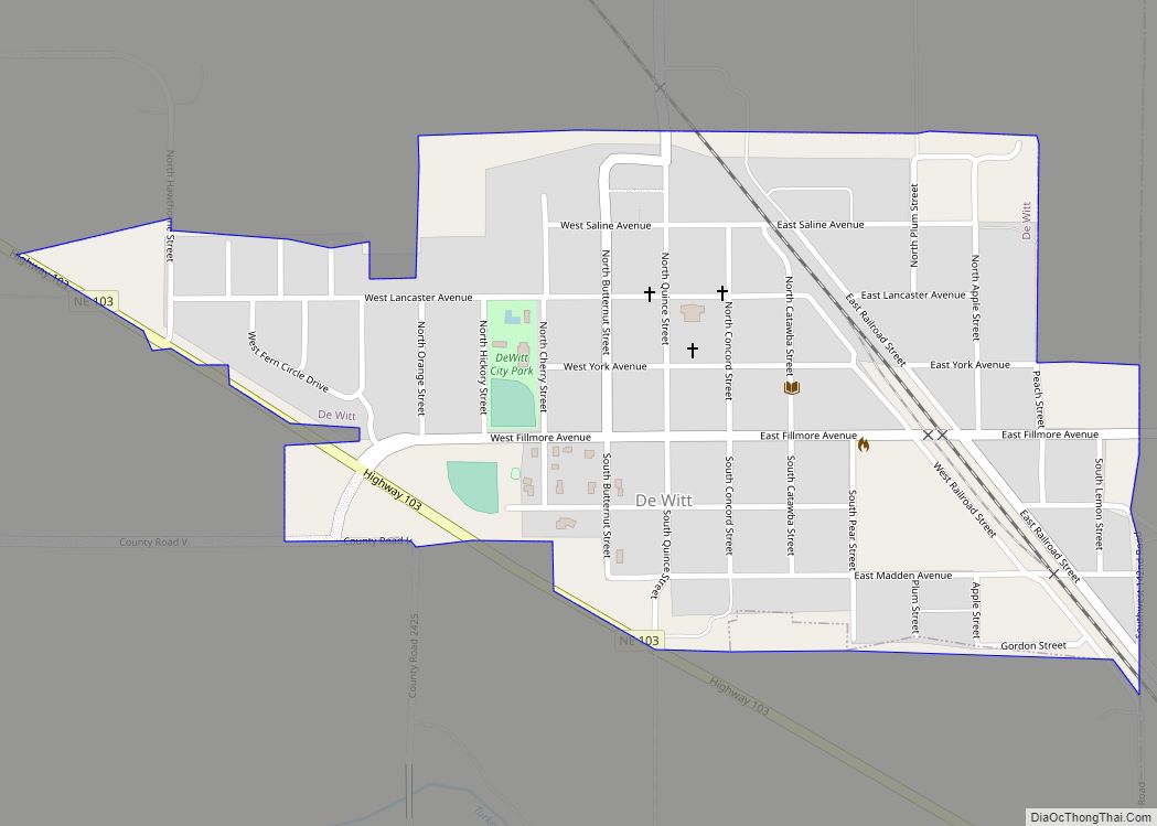
De Witt is a village in Saline County, Nebraska, United States. The population was 520 at the 2020 census. De Witt village overview: Name: De Witt village LSAD Code: 47 LSAD Description: village (suffix) State: Nebraska County: Saline County Elevation: 1,293 ft (394 m) Total Area: 0.42 sq mi (1.08 km²) Land Area: 0.42 sq mi (1.08 km²) Water Area: 0.00 sq mi (0.00 km²) Total ... Read more
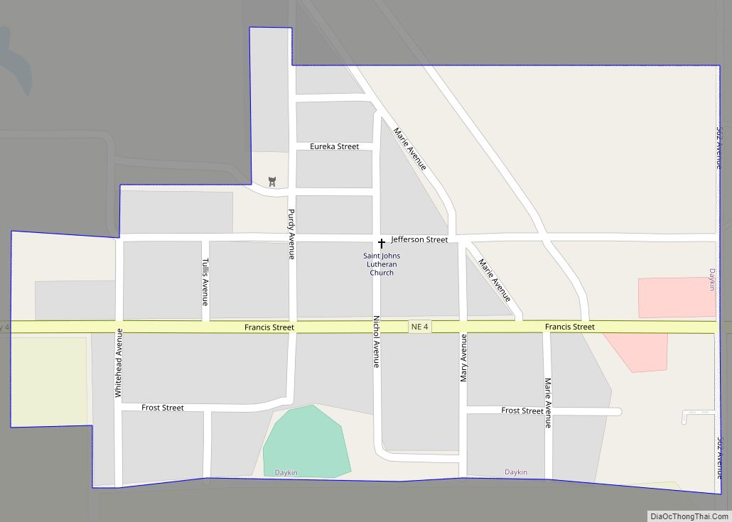
Daykin is a village in Jefferson County, Nebraska, United States. The population was 157 at the 2020 census. Daykin village overview: Name: Daykin village LSAD Code: 47 LSAD Description: village (suffix) State: Nebraska County: Jefferson County Elevation: 1,532 ft (467 m) Total Area: 0.16 sq mi (0.43 km²) Land Area: 0.16 sq mi (0.43 km²) Water Area: 0.00 sq mi (0.00 km²) Total Population: 157 Population ... Read more
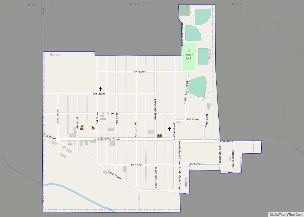
Dodge is a village in Dodge County, Nebraska, United States. The population was 612 at the 2010 census. Dodge village overview: Name: Dodge village LSAD Code: 47 LSAD Description: village (suffix) State: Nebraska County: Dodge County Elevation: 1,401 ft (427 m) Total Area: 0.40 sq mi (1.02 km²) Land Area: 0.40 sq mi (1.02 km²) Water Area: 0.00 sq mi (0.00 km²) Total Population: 611 Population ... Read more
Dixon is a village in Dixon County, Nebraska, United States. It is part of the Sioux City, IA–NE–SD Metropolitan Statistical Area. The population was 87 at the 2010 census. Dixon village overview: Name: Dixon village LSAD Code: 47 LSAD Description: village (suffix) State: Nebraska County: Dixon County Elevation: 1,440 ft (439 m) Total Area: 0.15 sq mi (0.39 km²) Land ... Read more
