Gurley is a village in Cheyenne County, Nebraska, United States. The population was 214 at the 2010 census. Gurley village overview: Name: Gurley village LSAD Code: 47 LSAD Description: village (suffix) State: Nebraska County: Cheyenne County Elevation: 4,281 ft (1,305 m) Total Area: 0.19 sq mi (0.48 km²) Land Area: 0.19 sq mi (0.48 km²) Water Area: 0.00 sq mi (0.00 km²) Total Population: 187 Population ... Read more
Nebraska Cities and Places
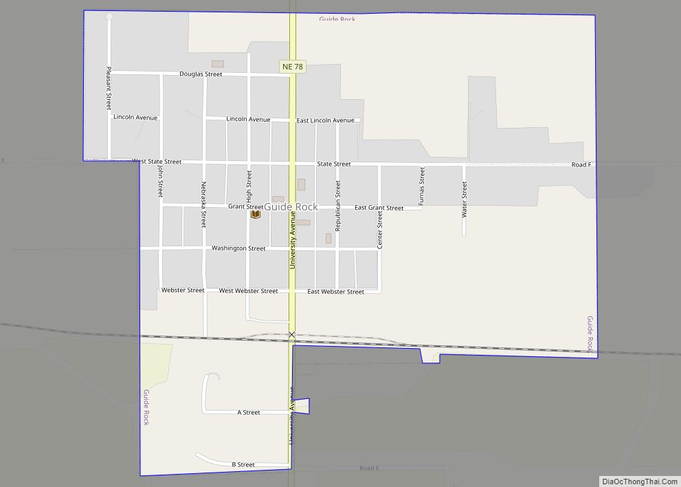
Guide Rock is a village in Webster County, Nebraska, United States. The population was 225 at the 2010 census. Guide Rock village overview: Name: Guide Rock village LSAD Code: 47 LSAD Description: village (suffix) State: Nebraska County: Webster County Elevation: 1,663 ft (507 m) Total Area: 0.50 sq mi (1.30 km²) Land Area: 0.50 sq mi (1.30 km²) Water Area: 0.00 sq mi (0.00 km²) Total ... Read more
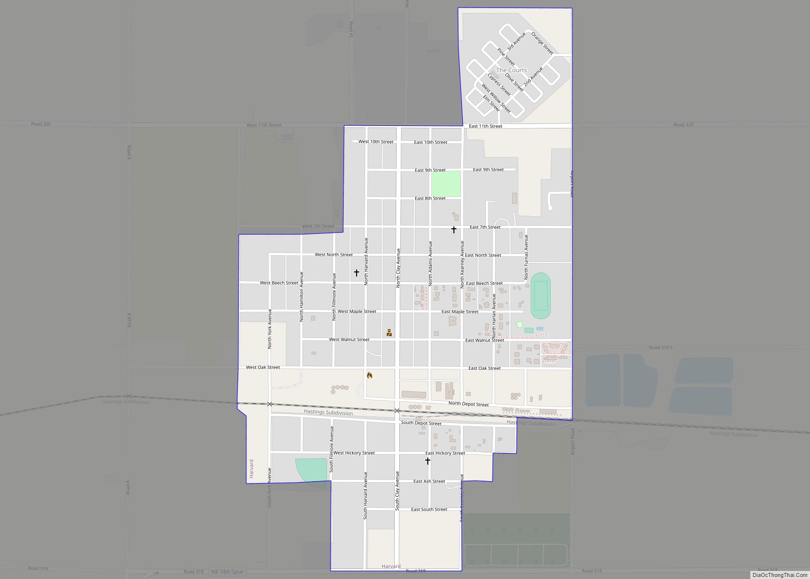
Harvard is a city in Clay County, Nebraska, United States. As of the 2010 census, the city population was 1,013. It is part of the Hastings micropolitan area. Harvard city overview: Name: Harvard city LSAD Code: 25 LSAD Description: city (suffix) State: Nebraska County: Clay County Elevation: 1,801 ft (549 m) Total Area: 0.65 sq mi (1.67 km²) Land Area: ... Read more
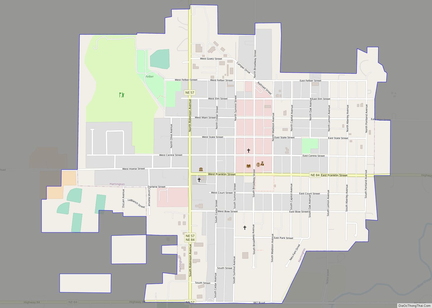
Hartington is a city in Cedar County, Nebraska, United States. The population was 1,514 at the 2020 census. Hartington city overview: Name: Hartington city LSAD Code: 25 LSAD Description: city (suffix) State: Nebraska County: Cedar County Elevation: 1,404 ft (428 m) Total Area: 1.02 sq mi (2.63 km²) Land Area: 1.02 sq mi (2.63 km²) Water Area: 0.00 sq mi (0.00 km²) Total Population: 1,514 Population ... Read more
Harrison is a village in Sioux County, Nebraska, United States. The population was 239 at the 2020 census. It is the county seat of Sioux County. Harrison village overview: Name: Harrison village LSAD Code: 47 LSAD Description: village (suffix) State: Nebraska County: Sioux County Elevation: 4,866 ft (1,483 m) Total Area: 0.31 sq mi (0.79 km²) Land Area: 0.31 sq mi (0.79 km²) ... Read more
Harrisburg is a rural small town in, and the county seat of, Banner County, Nebraska, United States. The population was 100 at the 2010 census. Harrisburg CDP overview: Name: Harrisburg CDP LSAD Code: 57 LSAD Description: CDP (suffix) State: Nebraska County: Banner County Elevation: 4,491 ft (1,369 m) Total Area: 6.47 sq mi (16.76 km²) Land Area: 6.47 sq mi (16.76 km²) Water ... Read more
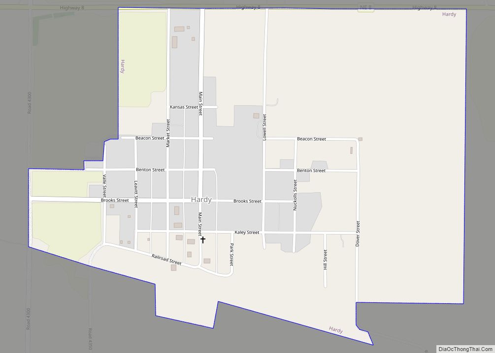
Hardy is a village in Nuckolls County, Nebraska, United States. The population was 159 at the 2010 census. Hardy village overview: Name: Hardy village LSAD Code: 47 LSAD Description: village (suffix) State: Nebraska County: Nuckolls County Elevation: 1,555 ft (474 m) Total Area: 0.61 sq mi (1.57 km²) Land Area: 0.61 sq mi (1.57 km²) Water Area: 0.00 sq mi (0.00 km²) Total Population: 97 Population ... Read more
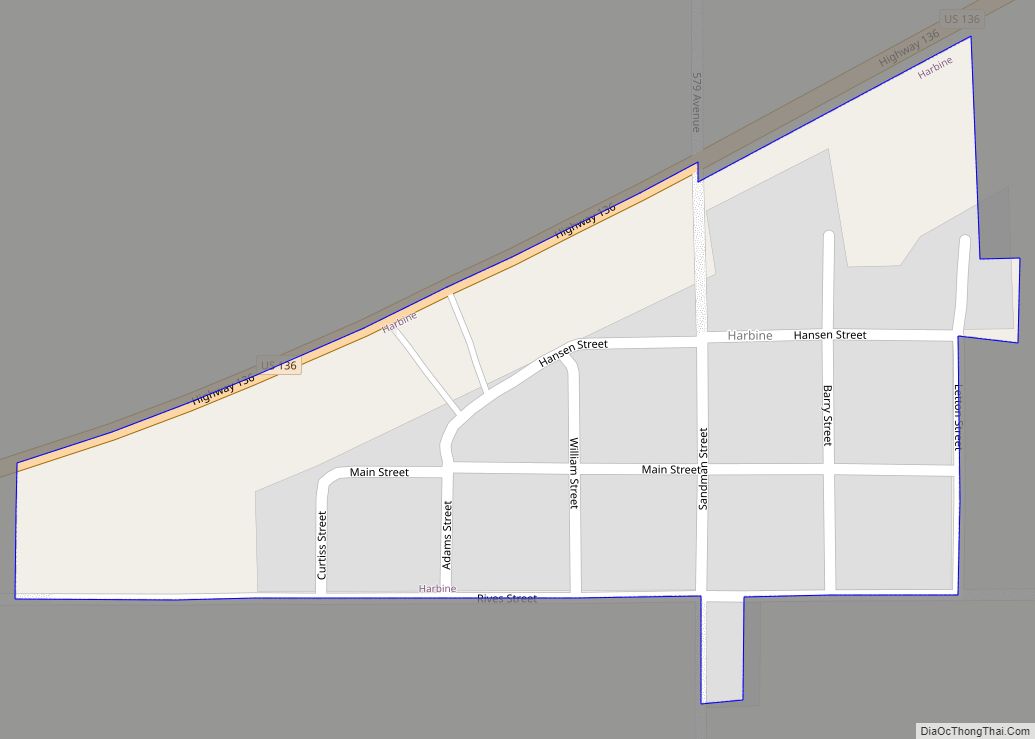
Harbine is a village in Jefferson County, Nebraska, United States. The population was 54 at the 2020 census. Harbine village overview: Name: Harbine village LSAD Code: 47 LSAD Description: village (suffix) State: Nebraska County: Jefferson County Elevation: 1,440 ft (439 m) Total Area: 0.10 sq mi (0.27 km²) Land Area: 0.10 sq mi (0.27 km²) Water Area: 0.00 sq mi (0.00 km²) Total Population: 54 Population ... Read more
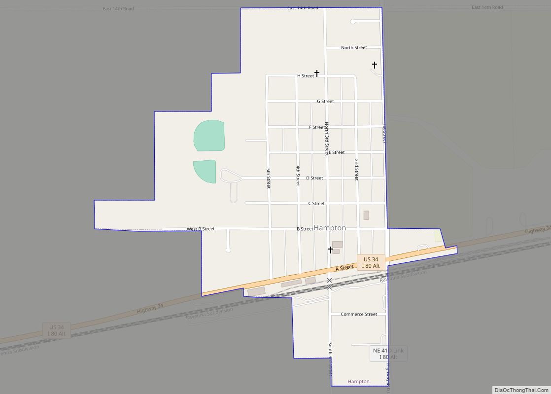
Hampton is a village in Hamilton County, in the state of Nebraska in the Midwestern United States. The population was 423 at the 2010 census. Hampton village overview: Name: Hampton village LSAD Code: 47 LSAD Description: village (suffix) State: Nebraska County: Hamilton County Elevation: 1,762 ft (537 m) Total Area: 0.35 sq mi (0.90 km²) Land Area: 0.35 sq mi (0.90 km²) Water ... Read more
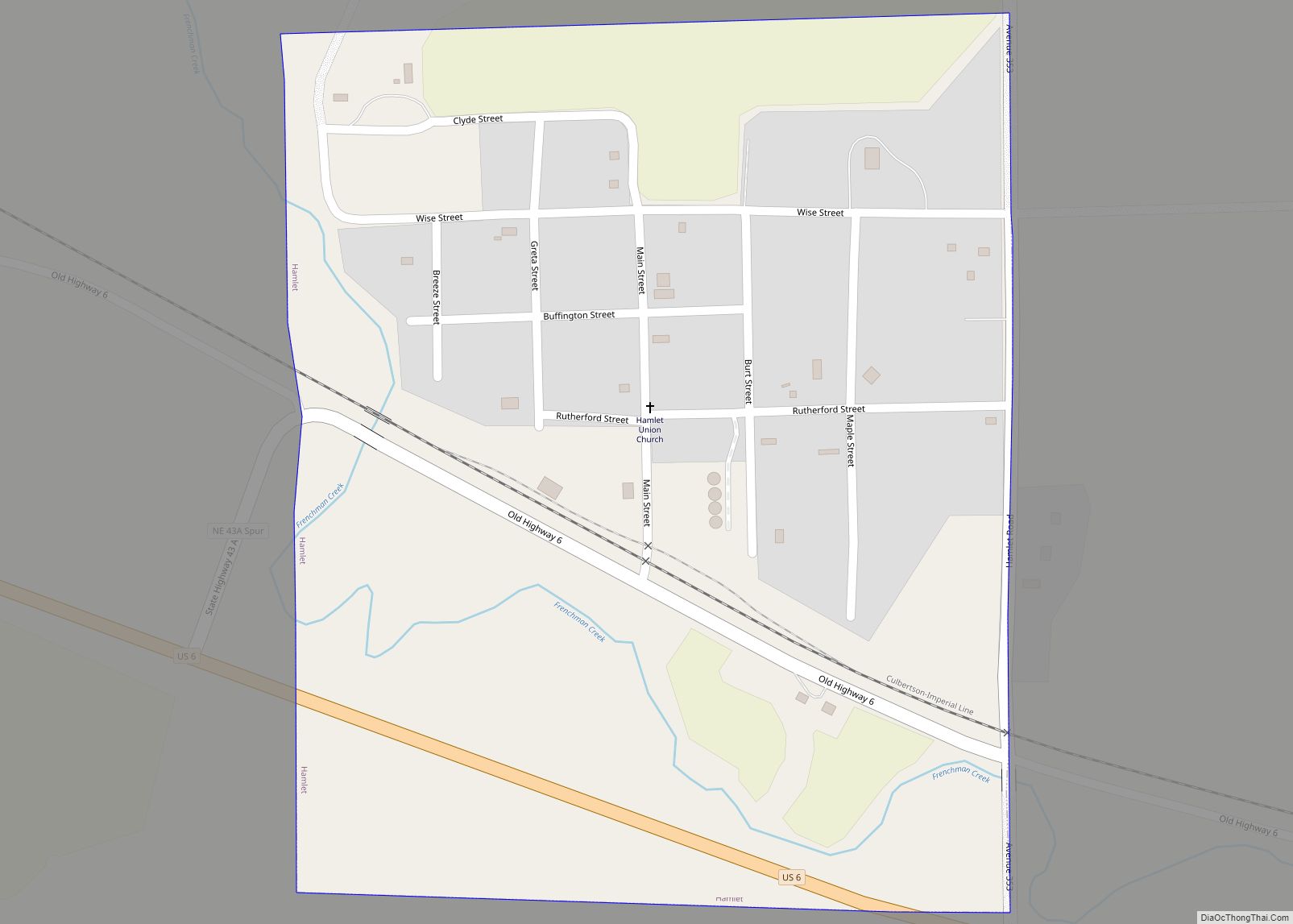
Hamlet is a hamlet in Hayes County, Nebraska, United States. The population was 57 at the 2010 census. A granary is located there, also an elementary school and a community hall, and two churches; otherwise, no other services or businesses. Hamlet village overview: Name: Hamlet village LSAD Code: 47 LSAD Description: village (suffix) State: Nebraska ... Read more
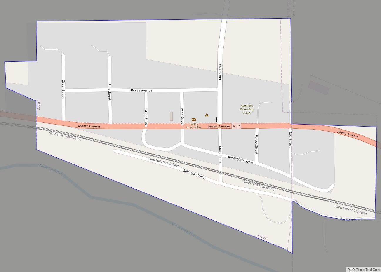
Halsey is a village in Blaine and Thomas counties in the State of Nebraska. The population was 76 at the 2010 census. Halsey village overview: Name: Halsey village LSAD Code: 47 LSAD Description: village (suffix) State: Nebraska County: Blaine County, Thomas County Elevation: 2,697 ft (822 m) Total Area: 0.19 sq mi (0.50 km²) Land Area: 0.19 sq mi (0.50 km²) Water Area: ... Read more
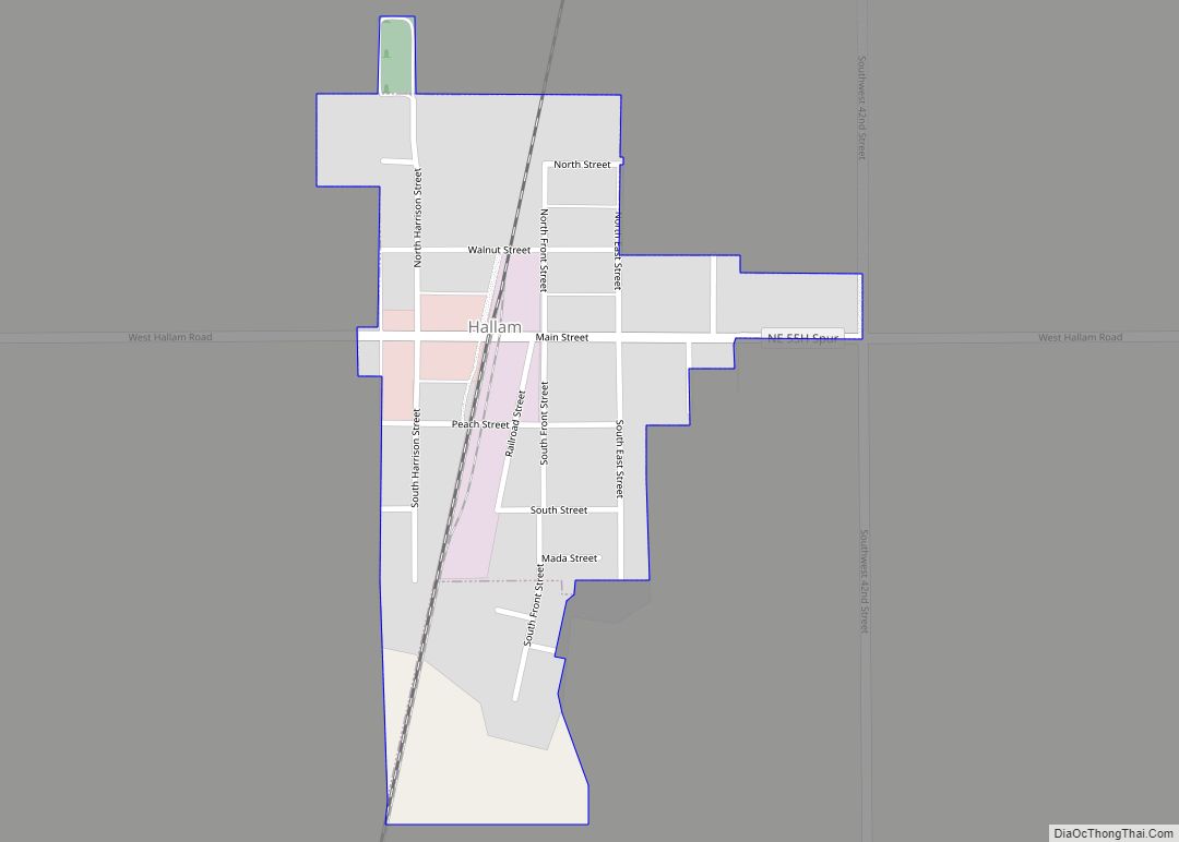
Hallam is a village in Lancaster County, Nebraska, United States. It is part of the Lincoln, Nebraska Metropolitan Statistical Area. The population was 268 at the 2020 census. Hallam village overview: Name: Hallam village LSAD Code: 47 LSAD Description: village (suffix) State: Nebraska County: Lancaster County Elevation: 1,486 ft (453 m) Total Area: 0.21 sq mi (0.56 km²) Land Area: ... Read more

