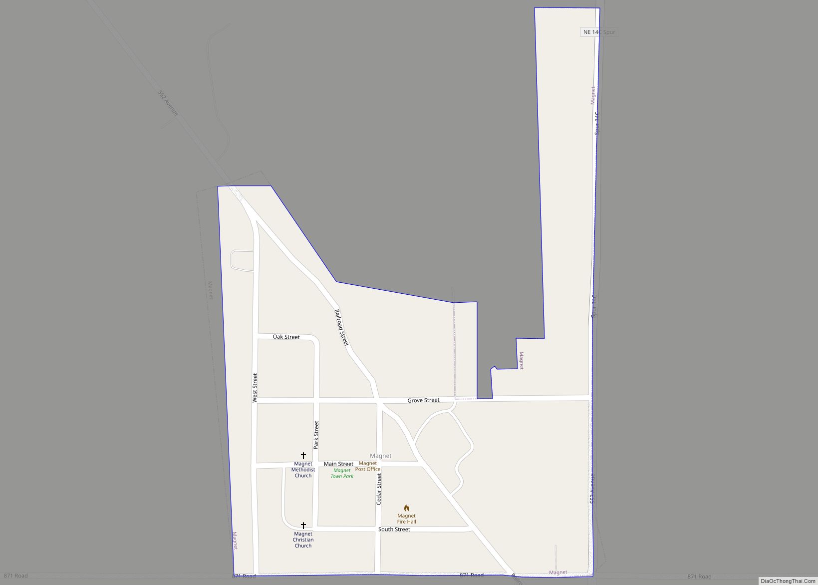
Magnet is a village in Cedar County, Nebraska, United States. The population was 46 at the 2020 census. Magnet village overview: Name: Magnet village LSAD Code: 47 LSAD Description: village (suffix) State: Nebraska County: Cedar County Elevation: 1,827 ft (557 m) Total Area: 0.15 sq mi (0.39 km²) Land Area: 0.15 sq mi (0.39 km²) Water Area: 0.00 sq mi (0.00 km²) Total Population: 46 Population ... Read more
Nebraska Cities and Places
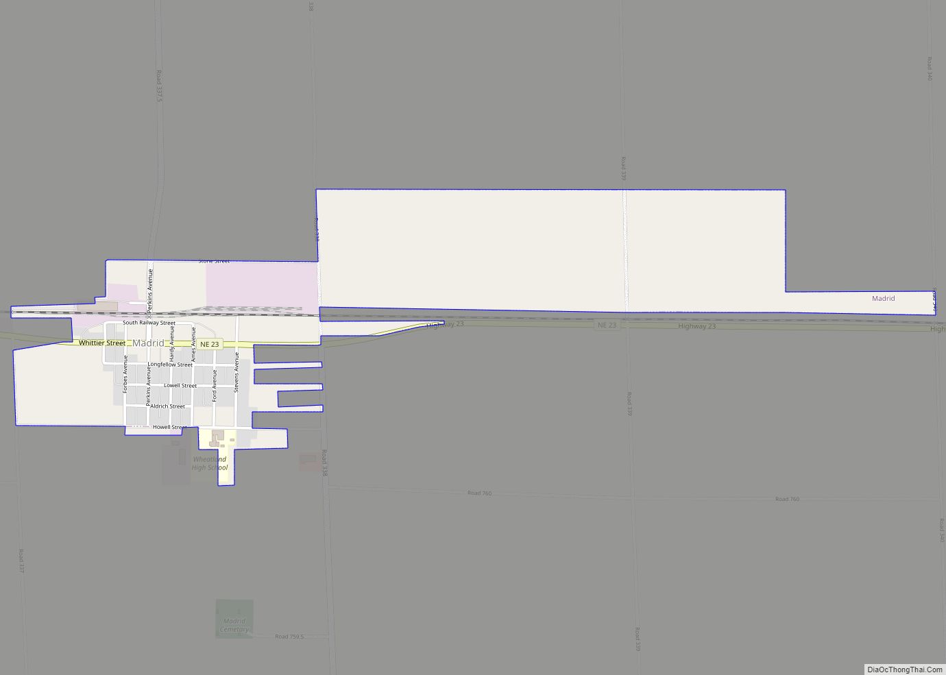
Madrid (/ˈmædrɪd/ ma-drid) is a village in Perkins County, Nebraska, United States. The population was 231 at the 2010 census. Madrid village overview: Name: Madrid village LSAD Code: 47 LSAD Description: village (suffix) State: Nebraska County: Perkins County Elevation: 3,301 ft (1,006 m) Total Area: 1.13 sq mi (2.93 km²) Land Area: 1.13 sq mi (2.93 km²) Water Area: 0.00 sq mi (0.00 km²) Total Population: ... Read more
Madison is a city in and the county seat of Madison County, Nebraska, United States. The population was 2,283 at the 2020 census. Madison city overview: Name: Madison city LSAD Code: 25 LSAD Description: city (suffix) State: Nebraska County: Madison County Elevation: 1,585 ft (483 m) Total Area: 1.18 sq mi (3.04 km²) Land Area: 1.18 sq mi (3.04 km²) Water Area: 0.00 sq mi ... Read more
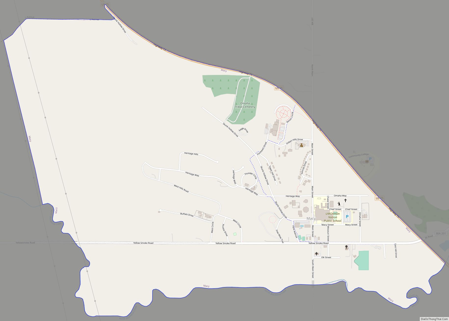
Macy is a census-designated place (CDP) in Thurston County, Nebraska, United States. The population was 1,045 at the 2020 census. It is within the Omaha Reservation, and includes Omaha Nation Public Schools. Macy is the birthplace of the Native American actor Rodney A. Grant. Macy CDP overview: Name: Macy CDP LSAD Code: 57 LSAD Description: ... Read more
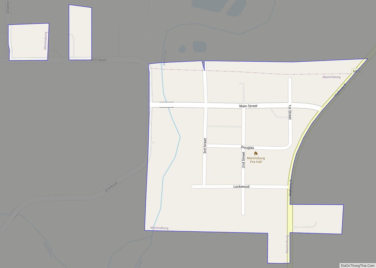
Martinsburg is a village in Dixon County, Nebraska, United States. It is part of the Sioux City, IA–NE–SD Metropolitan Statistical Area. The population was 94 at the 2010 census. Martinsburg village overview: Name: Martinsburg village LSAD Code: 47 LSAD Description: village (suffix) State: Nebraska County: Dixon County Elevation: 1,253 ft (382 m) Total Area: 0.10 sq mi (0.27 km²) Land ... Read more
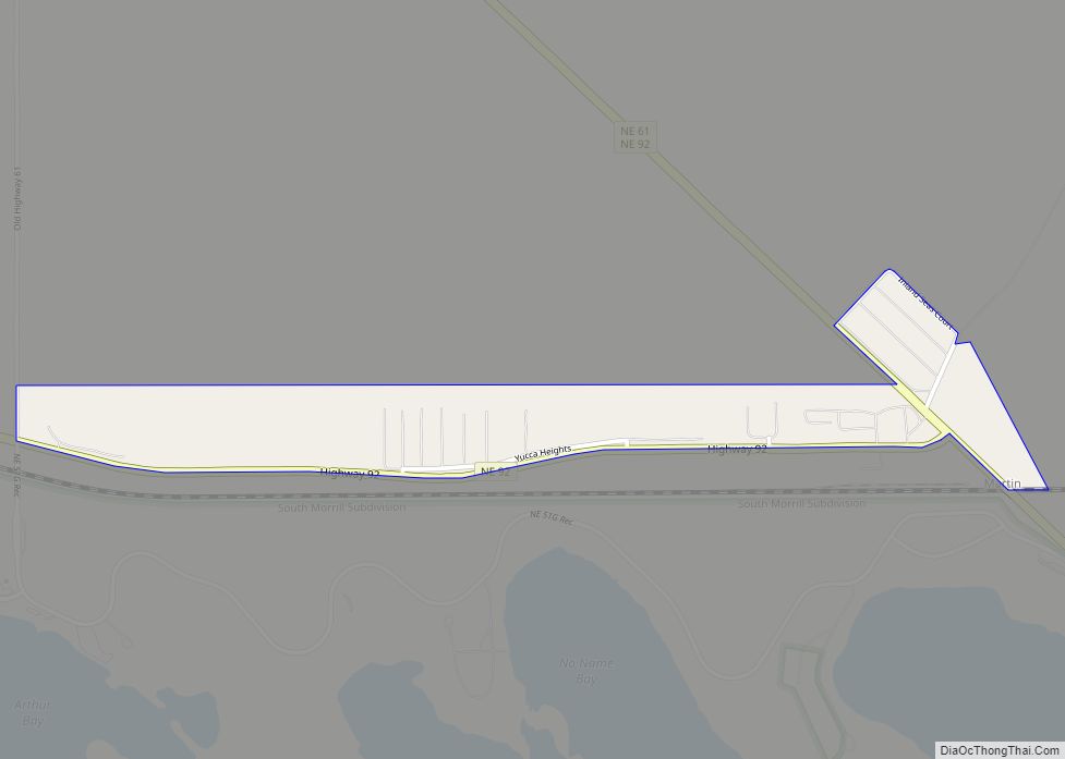
Martin is an unincorporated community and census-designated place in Keith County, Nebraska, United States. As of the 2010 census it had a population of 92. Martin Bay is one of the most popular recreation areas on Lake McConaughy. Martin CDP overview: Name: Martin CDP LSAD Code: 57 LSAD Description: CDP (suffix) State: Nebraska County: Keith ... Read more
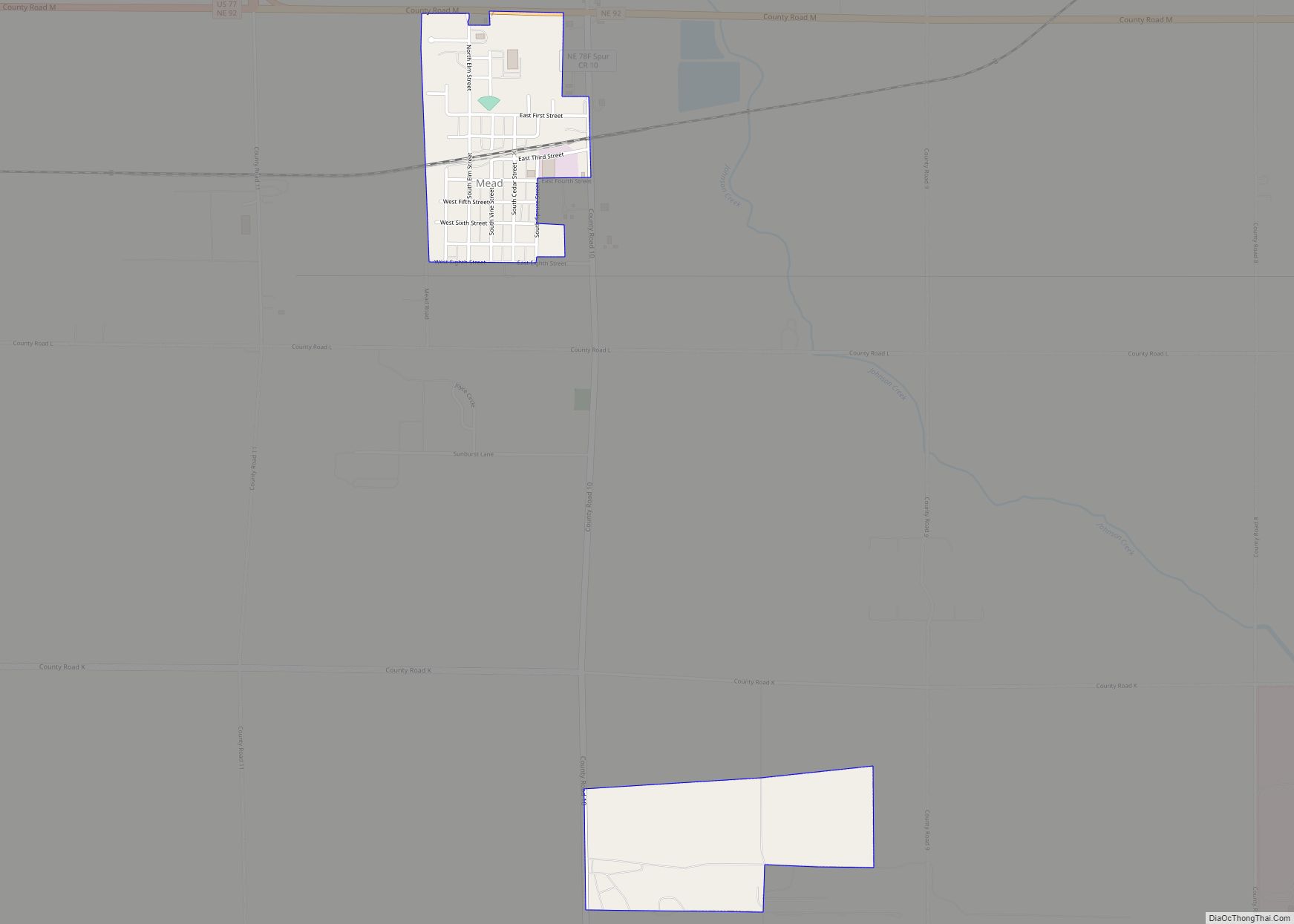
Mead is a village in Saunders County, Nebraska, United States. The population was 617 at the 2020 census. Mead village overview: Name: Mead village LSAD Code: 47 LSAD Description: village (suffix) State: Nebraska County: Saunders County Elevation: 1,207 ft (368 m) Total Area: 0.62 sq mi (1.60 km²) Land Area: 0.61 sq mi (1.58 km²) Water Area: 0.01 sq mi (0.03 km²) Total Population: 617 Population ... Read more
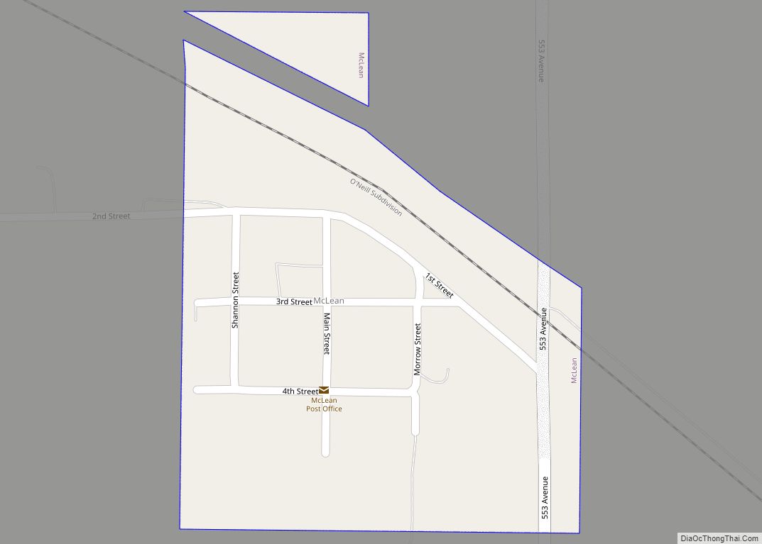
McLean is a village in Pierce County, Nebraska, United States. It is part of the Norfolk, Nebraska Micropolitan Statistical Area. The population was 36 at the 2010 census. McLean village overview: Name: McLean village LSAD Code: 47 LSAD Description: village (suffix) State: Nebraska County: Pierce County Elevation: 1,847 ft (563 m) Total Area: 0.10 sq mi (0.25 km²) Land Area: ... Read more
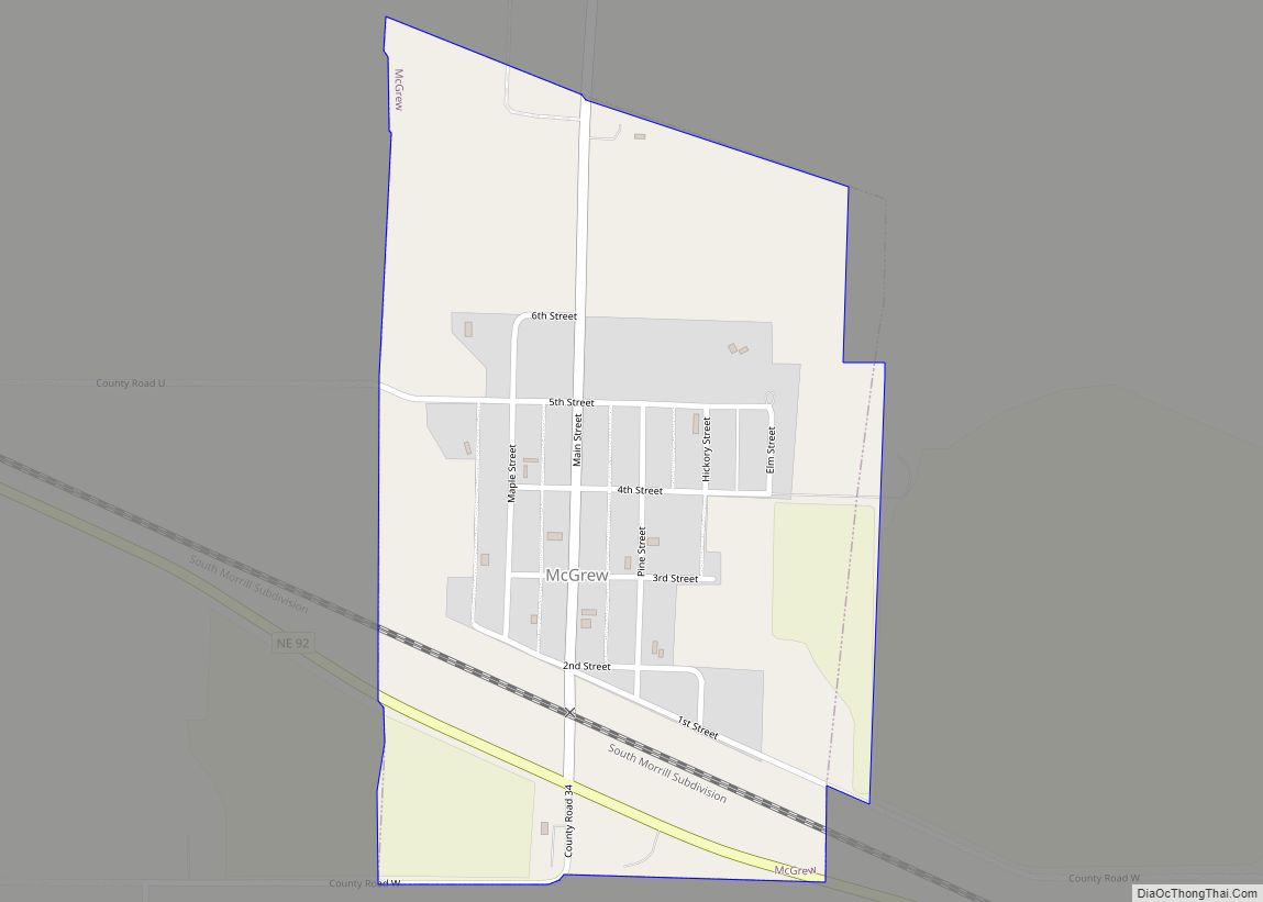
McGrew is a village in Scotts Bluff County, Nebraska, United States. It is part of the Scottsbluff, Nebraska Micropolitan Statistical Area. The population was 105 at the 2010 census. McGrew village overview: Name: McGrew village LSAD Code: 47 LSAD Description: village (suffix) State: Nebraska County: Scotts Bluff County Elevation: 3,783 ft (1,153 m) Total Area: 0.14 sq mi (0.37 km²) ... Read more
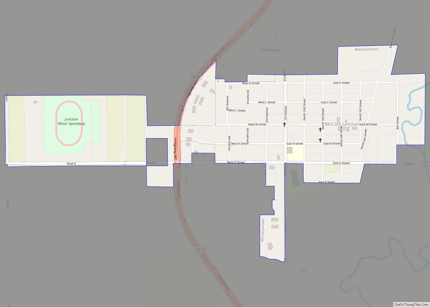
McCool Junction is a village in York County, Nebraska, United States. The population was 409 at the 2010 census. McCool Junction village overview: Name: McCool Junction village LSAD Code: 47 LSAD Description: village (suffix) State: Nebraska County: York County Elevation: 1,562 ft (476 m) Total Area: 0.49 sq mi (1.26 km²) Land Area: 0.48 sq mi (1.25 km²) Water Area: 0.00 sq mi (0.01 km²) Total ... Read more
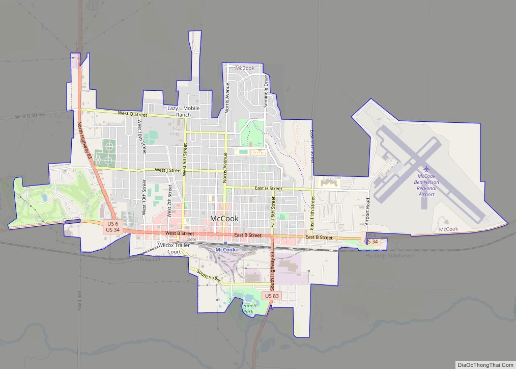
McCook is a city in and the county seat of Red Willow County, Nebraska, United States. The population was 7,446 at the 2020 census. McCook city overview: Name: McCook city LSAD Code: 25 LSAD Description: city (suffix) State: Nebraska County: Red Willow County Elevation: 2,576 ft (785 m) Total Area: 5.46 sq mi (14.14 km²) Land Area: 5.46 sq mi (14.14 km²) Water ... Read more
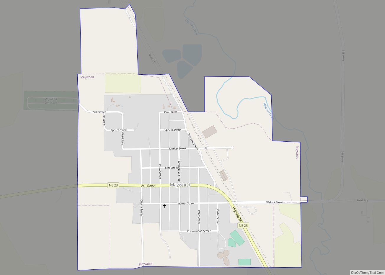
Maywood is a village in Frontier County, Nebraska, United States. The population was 261 at the 2010 census. Maywood village overview: Name: Maywood village LSAD Code: 47 LSAD Description: village (suffix) State: Nebraska County: Frontier County Elevation: 2,680 ft (817 m) Total Area: 0.63 sq mi (1.64 km²) Land Area: 0.63 sq mi (1.64 km²) Water Area: 0.00 sq mi (0.00 km²) Total Population: 262 Population ... Read more
