McCook is a city in and the county seat of Red Willow County, Nebraska, United States. The population was 7,446 at the 2020 census.
| Name: | McCook city |
|---|---|
| LSAD Code: | 25 |
| LSAD Description: | city (suffix) |
| State: | Nebraska |
| County: | Red Willow County |
| Elevation: | 2,576 ft (785 m) |
| Total Area: | 5.46 sq mi (14.14 km²) |
| Land Area: | 5.46 sq mi (14.14 km²) |
| Water Area: | 0.00 sq mi (0.00 km²) |
| Total Population: | 7,446 |
| Population Density: | 1,363.99/sq mi (526.64/km²) |
| ZIP code: | 69001 |
| Area code: | 308 |
| FIPS code: | 3129925 |
| GNISfeature ID: | 0831117 |
| Website: | cityofmccook.com |
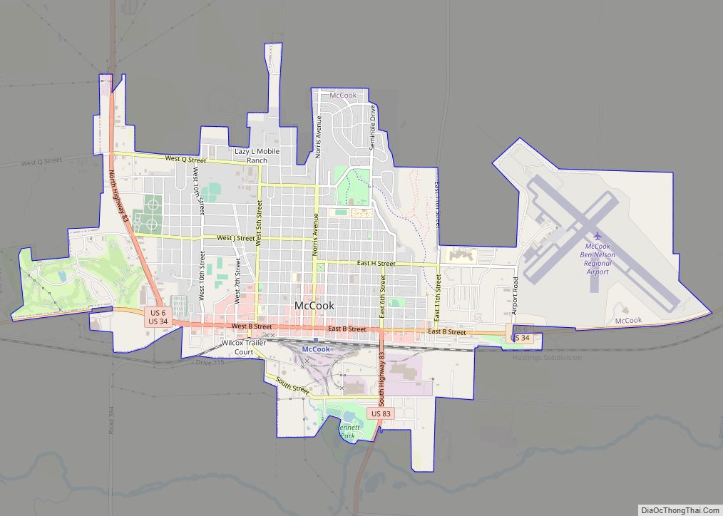
Online Interactive Map
Click on ![]() to view map in "full screen" mode.
to view map in "full screen" mode.
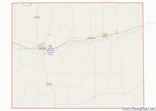
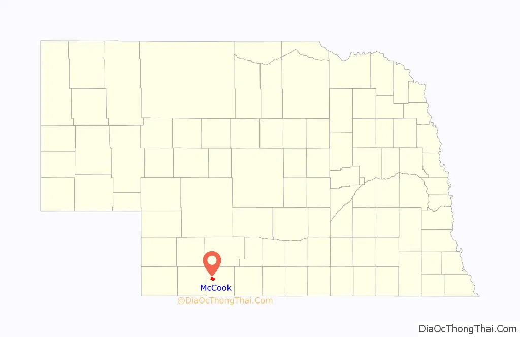
McCook location map. Where is McCook city?

History
McCook was platted in 1882 when the Burlington and Missouri River Railroad was extended to that point. It was named in honor of Alexander McDowell McCook, a brigadier general in the Union Army during the American Civil War.
McCook is known as the capital of the Buffalo Commons. In the 1980’s when times were hard, academics proposed that they should depopulate the high plains and give it back to the buffalo, except people of the town did not agree and wanted to stay on the land that they loved. The people were resourceful and able to overcome the hardship/stay in their community.
Nowadays, the Buffalo Commons is used as a metaphor for looking for a solution. A solution McCook has been trying to utilize is tourism and community growth.
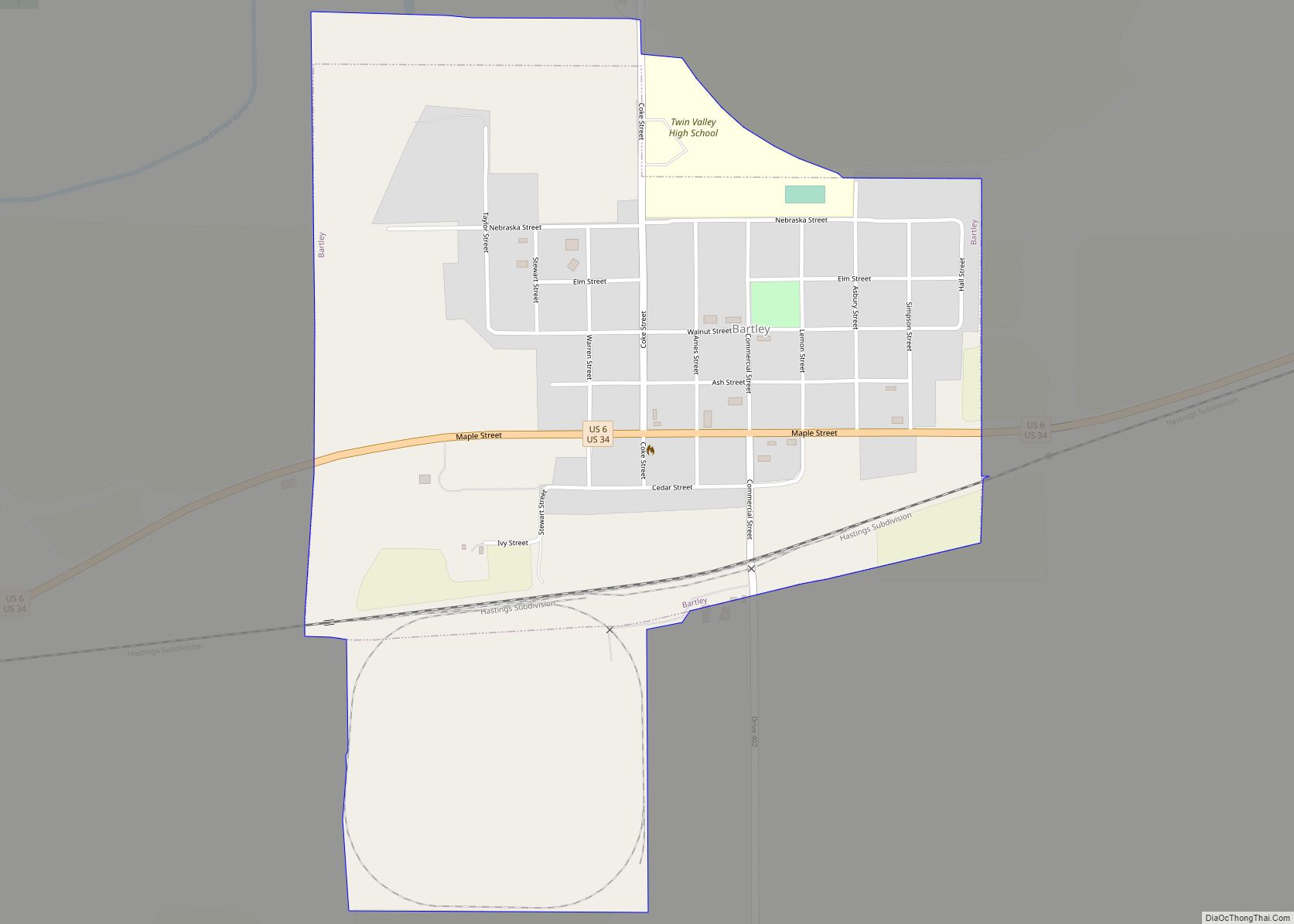
McCook Road Map

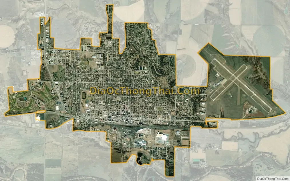
McCook city Satellite Map
Geography
McCook is located at 40°12′19″N 100°37′34″W / 40.20528°N 100.62611°W / 40.20528; -100.62611 (40.205228, −100.626174). According to the United States Census Bureau, the city has a total area of 5.39 square miles (13.96 km), all land.
See also
Map of Nebraska State and its subdivision:- Adams
- Antelope
- Arthur
- Banner
- Blaine
- Boone
- Box Butte
- Boyd
- Brown
- Buffalo
- Burt
- Butler
- Cass
- Cedar
- Chase
- Cherry
- Cheyenne
- Clay
- Colfax
- Cuming
- Custer
- Dakota
- Dawes
- Dawson
- Deuel
- Dixon
- Dodge
- Douglas
- Dundy
- Fillmore
- Franklin
- Frontier
- Furnas
- Gage
- Garden
- Garfield
- Gosper
- Grant
- Greeley
- Hall
- Hamilton
- Harlan
- Hayes
- Hitchcock
- Holt
- Hooker
- Howard
- Jefferson
- Johnson
- Kearney
- Keith
- Keya Paha
- Kimball
- Knox
- Lancaster
- Lincoln
- Logan
- Loup
- Madison
- McPherson
- Merrick
- Morrill
- Nance
- Nemaha
- Nuckolls
- Otoe
- Pawnee
- Perkins
- Phelps
- Pierce
- Platte
- Polk
- Red Willow
- Richardson
- Rock
- Saline
- Sarpy
- Saunders
- Scotts Bluff
- Seward
- Sheridan
- Sherman
- Sioux
- Stanton
- Thayer
- Thomas
- Thurston
- Valley
- Washington
- Wayne
- Webster
- Wheeler
- York
- Alabama
- Alaska
- Arizona
- Arkansas
- California
- Colorado
- Connecticut
- Delaware
- District of Columbia
- Florida
- Georgia
- Hawaii
- Idaho
- Illinois
- Indiana
- Iowa
- Kansas
- Kentucky
- Louisiana
- Maine
- Maryland
- Massachusetts
- Michigan
- Minnesota
- Mississippi
- Missouri
- Montana
- Nebraska
- Nevada
- New Hampshire
- New Jersey
- New Mexico
- New York
- North Carolina
- North Dakota
- Ohio
- Oklahoma
- Oregon
- Pennsylvania
- Rhode Island
- South Carolina
- South Dakota
- Tennessee
- Texas
- Utah
- Vermont
- Virginia
- Washington
- West Virginia
- Wisconsin
- Wyoming