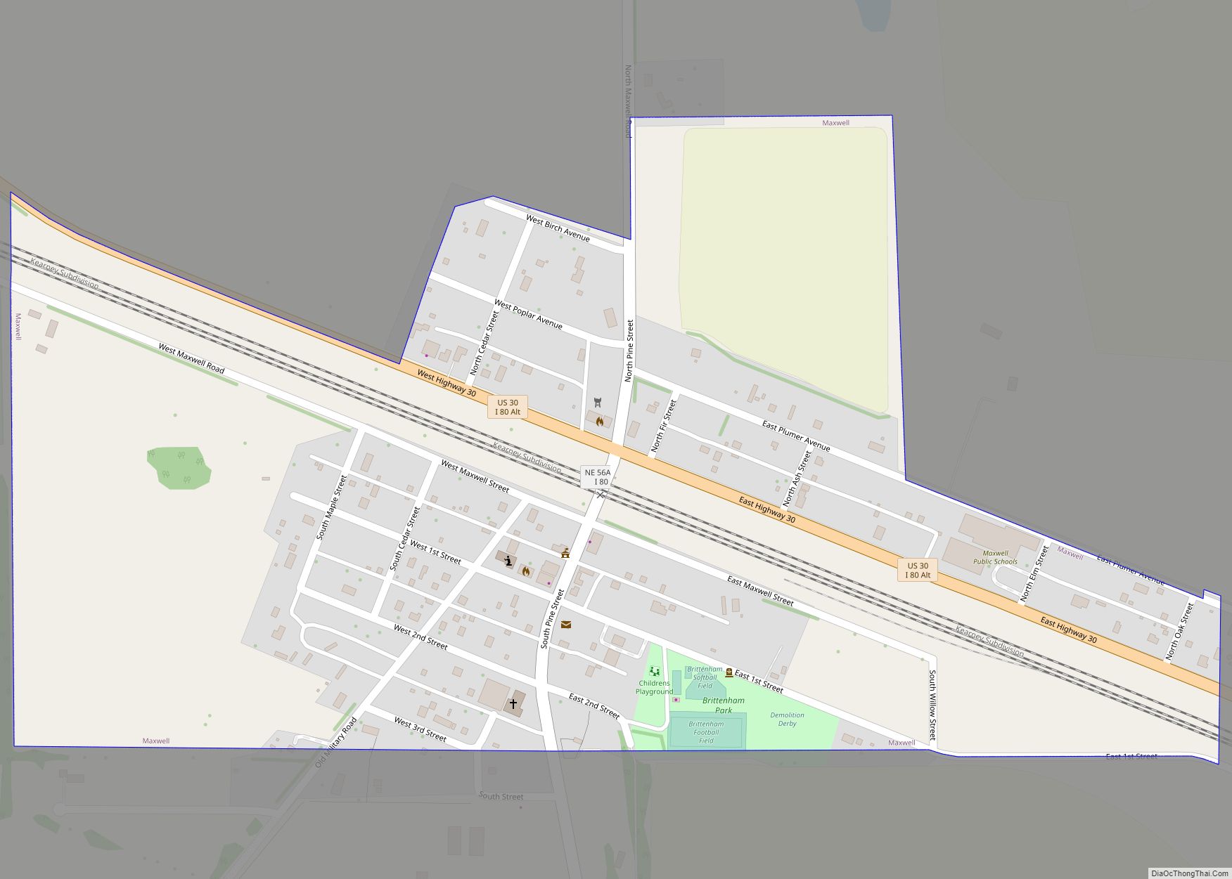
Maxwell is a village in Lincoln County, Nebraska, United States. It is part of the North Platte Micropolitan Statistical Area. The population was 312 at the 2010 census. Maxwell village overview: Name: Maxwell village LSAD Code: 47 LSAD Description: village (suffix) State: Nebraska County: Lincoln County Elevation: 2,710 ft (826 m) Total Area: 0.46 sq mi (1.20 km²) Land Area: ... Read more
Nebraska Cities and Places
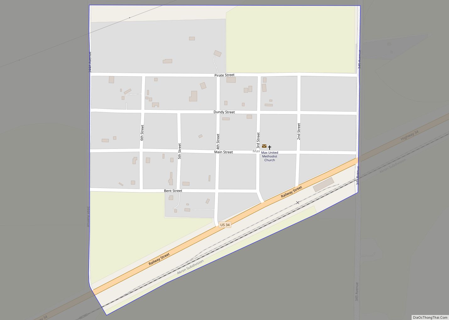
Max is an unincorporated community and census-designated place in Dundy County, Nebraska, United States. Its elevation is 2,900 feet (880 m) above sea level. Max’s population as of 2020 was 50. Max is located in eastern Dundy County, along U.S. Route 34 in the valley of the Republican River. Via US 34 it is 9 miles ... Read more
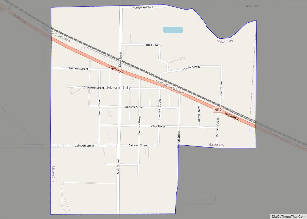
Mason City is a village in Custer County, Nebraska, United States. The population was 171 at the 2010 census. Mason City village overview: Name: Mason City village LSAD Code: 47 LSAD Description: village (suffix) State: Nebraska County: Custer County Elevation: 2,260 ft (689 m) Total Area: 0.48 sq mi (1.23 km²) Land Area: 0.48 sq mi (1.23 km²) Water Area: 0.00 sq mi (0.00 km²) Total ... Read more
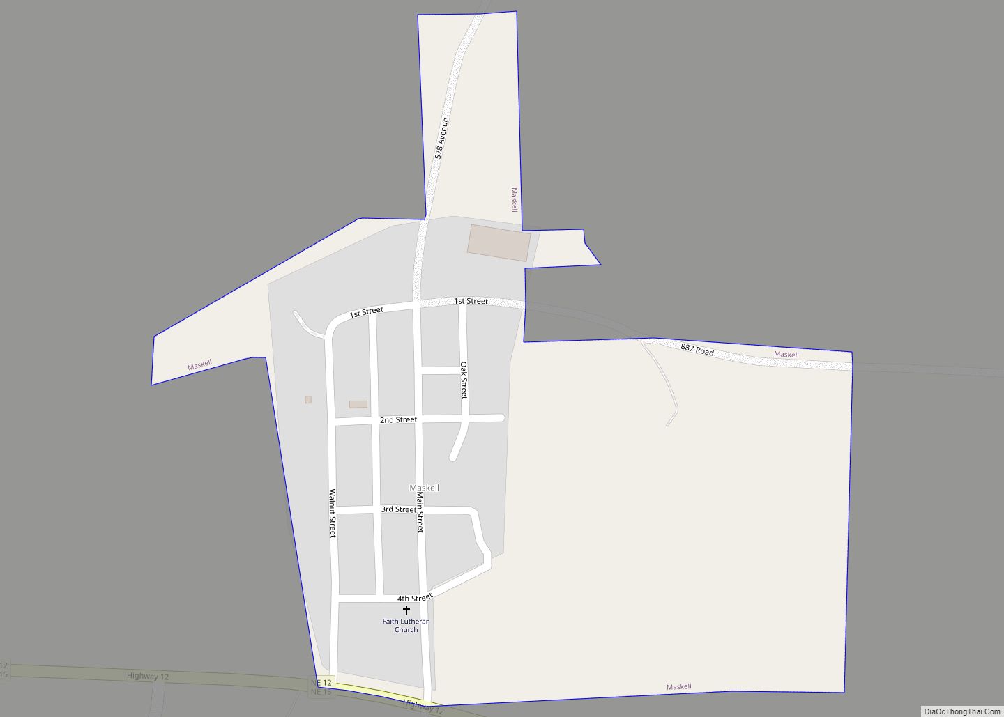
Maskell is a village in Dixon County, Nebraska, United States. It is part of the Sioux City, IA–NE–SD Metropolitan Statistical Area. The population was 76 at the 2010 census. It is reportedly home to the smallest city hall in the United States. Maskell village overview: Name: Maskell village LSAD Code: 47 LSAD Description: village (suffix) ... Read more
Milford is a city in Seward County, Nebraska, United States. It is part of the Lincoln, Nebraska Metropolitan Statistical Area. The population was 2,090 at the 2010 census. Milford city overview: Name: Milford city LSAD Code: 25 LSAD Description: city (suffix) State: Nebraska County: Seward County Elevation: 1,453 ft (443 m) Total Area: 0.82 sq mi (2.13 km²) Land Area: ... Read more
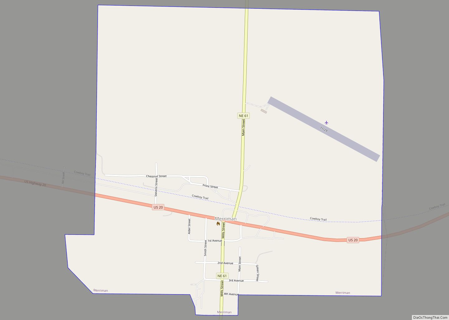
Merriman is a village in Cherry County, Nebraska. The population was 128 at the time of the 2010 census. Merriman village overview: Name: Merriman village LSAD Code: 47 LSAD Description: village (suffix) State: Nebraska County: Cherry County Elevation: 3,255 ft (992 m) Total Area: 1.03 sq mi (2.66 km²) Land Area: 1.03 sq mi (2.66 km²) Water Area: 0.00 sq mi (0.00 km²) Total Population: 87 ... Read more
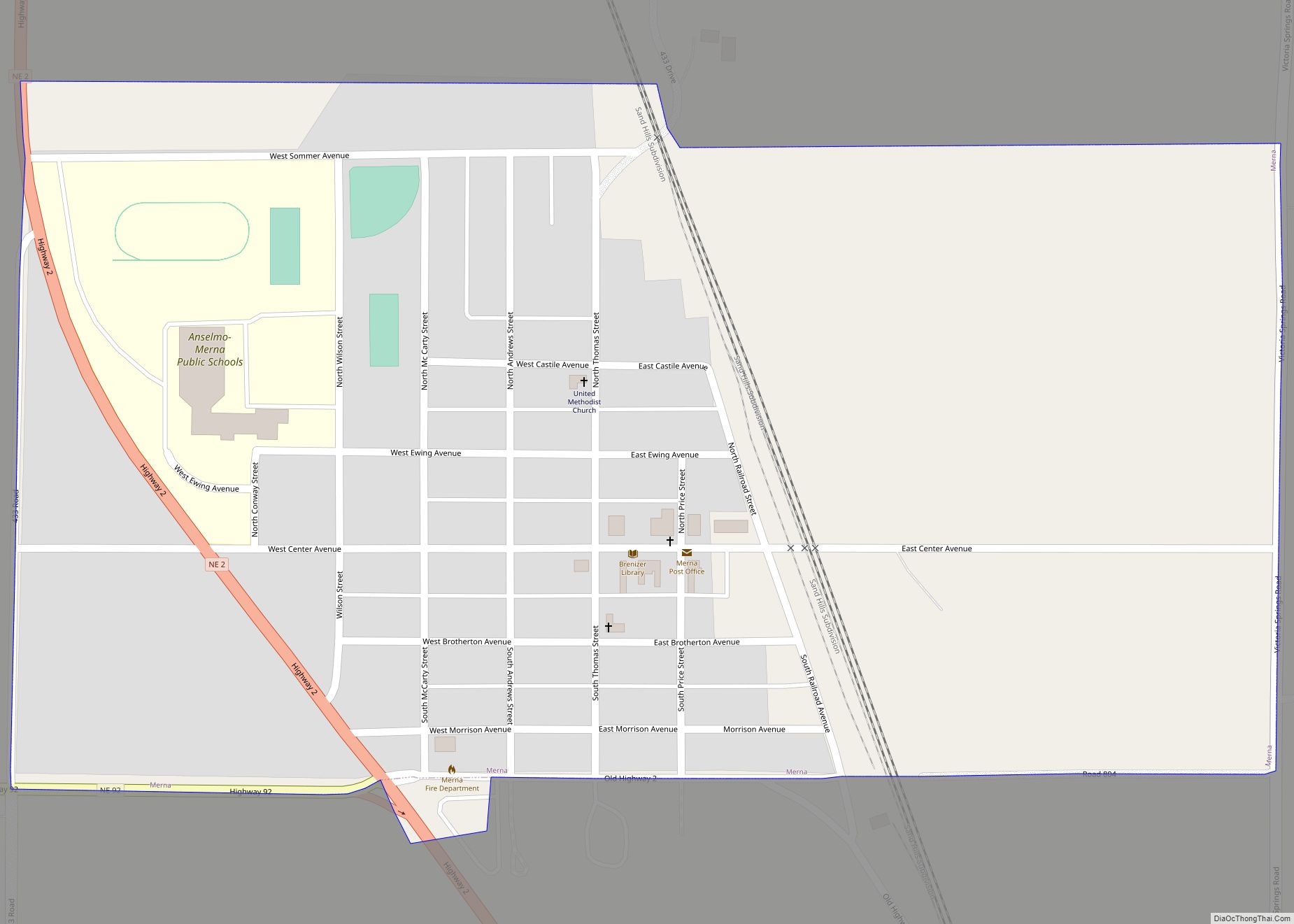
Merna is a village in Custer County, Nebraska, United States. The population was 363 at the 2010 census. Merna village overview: Name: Merna village LSAD Code: 47 LSAD Description: village (suffix) State: Nebraska County: Custer County Elevation: 2,664 ft (812 m) Total Area: 0.54 sq mi (1.39 km²) Land Area: 0.54 sq mi (1.39 km²) Water Area: 0.00 sq mi (0.00 km²) Total Population: 343 Population ... Read more
Memphis is a village in Saunders County, Nebraska, United States. The population was 109 at the 2020 census. Memphis village overview: Name: Memphis village LSAD Code: 47 LSAD Description: village (suffix) State: Nebraska County: Saunders County Elevation: 1,093 ft (333 m) Total Area: 0.09 sq mi (0.23 km²) Land Area: 0.09 sq mi (0.23 km²) Water Area: 0.00 sq mi (0.00 km²) Total Population: 109 Population ... Read more
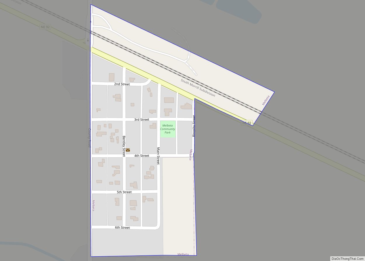
Melbeta is a village in Scotts Bluff County, Nebraska, United States. It is part of the Scottsbluff, Nebraska Micropolitan Statistical Area. The population was 112 at the 2010 census. Melbeta village overview: Name: Melbeta village LSAD Code: 47 LSAD Description: village (suffix) State: Nebraska County: Scotts Bluff County Elevation: 3,825 ft (1,166 m) Total Area: 0.10 sq mi (0.25 km²) ... Read more
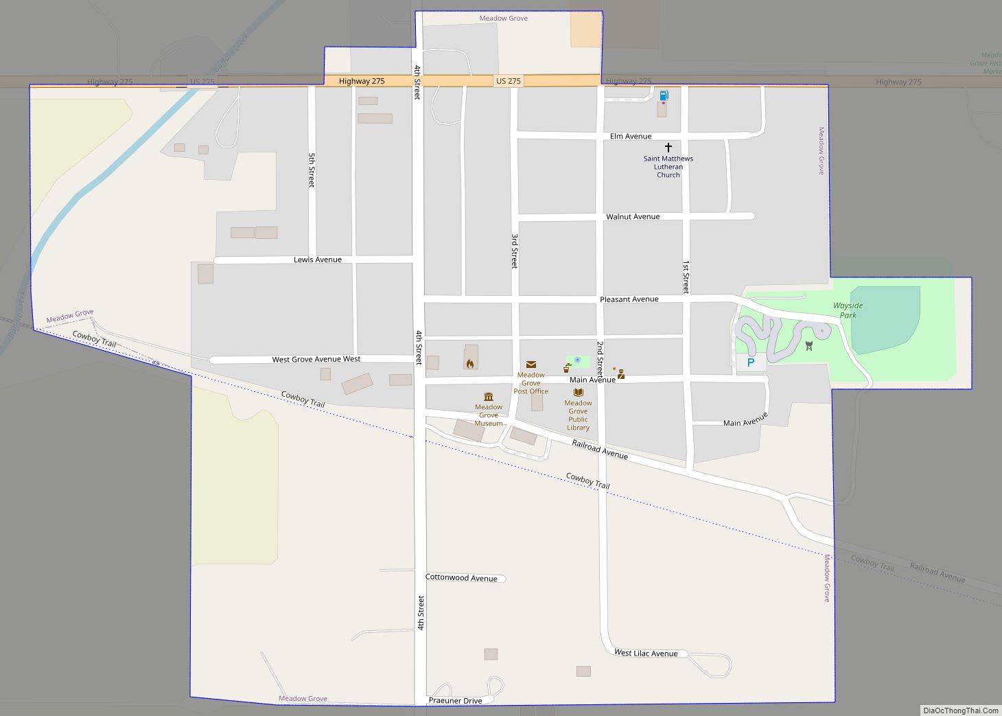
Meadow Grove is a village in Madison County, Nebraska, United States. It is part of the Norfolk, Nebraska Micropolitan Statistical Area. The population was 301 at the 2010 census. Meadow Grove village overview: Name: Meadow Grove village LSAD Code: 47 LSAD Description: village (suffix) State: Nebraska County: Madison County Elevation: 1,631 ft (497 m) Total Area: 0.30 sq mi ... Read more
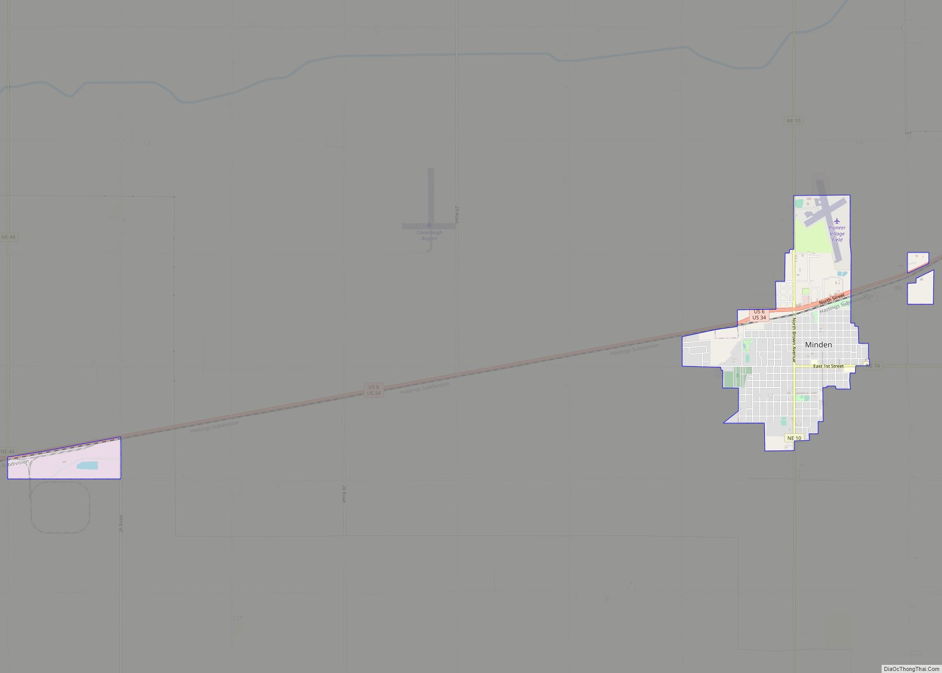
Minden is a city in, and the county seat of, Kearney County, Nebraska, United States. The population was 2,923 at the 2010 census. It is home of the Pioneer Village museum complex. Minden city overview: Name: Minden city LSAD Code: 25 LSAD Description: city (suffix) State: Nebraska County: Kearney County Elevation: 2,172 ft (662 m) Total Area: ... Read more
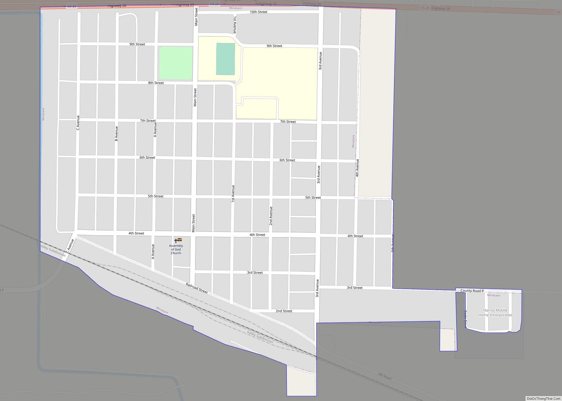
Minatare (Hidatsa: mirita’ri; “crosses the water”) is a city in Scotts Bluff County, Nebraska, United States. It is part of the Scottsbluff, Nebraska Micropolitan Statistical Area. The population was 816 at the 2010 census. Minatare city overview: Name: Minatare city LSAD Code: 25 LSAD Description: city (suffix) State: Nebraska County: Scotts Bluff County Incorporated: 1900 ... Read more
