Milford is a city in Seward County, Nebraska, United States. It is part of the Lincoln, Nebraska Metropolitan Statistical Area. The population was 2,090 at the 2010 census. Milford city overview: Name: Milford city LSAD Code: 25 LSAD Description: city (suffix) State: Nebraska County: Seward County Elevation: 1,453 ft (443 m) Total Area: 0.82 sq mi (2.13 km²) Land Area: ... Read more
Nebraska Cities and Places
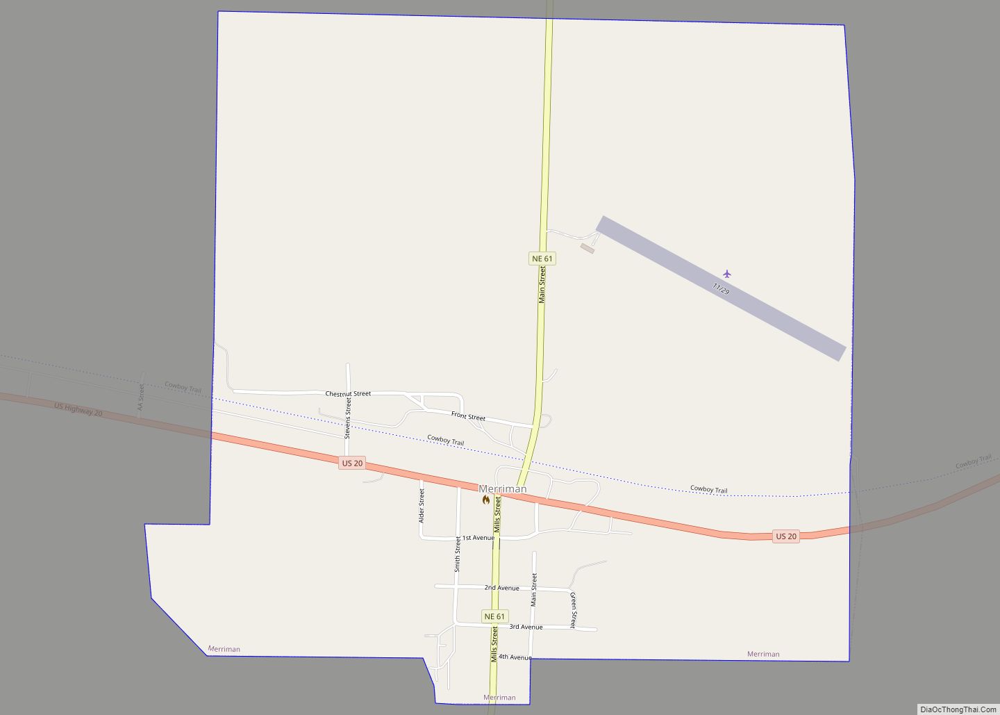
Merriman is a village in Cherry County, Nebraska. The population was 128 at the time of the 2010 census. Merriman village overview: Name: Merriman village LSAD Code: 47 LSAD Description: village (suffix) State: Nebraska County: Cherry County Elevation: 3,255 ft (992 m) Total Area: 1.03 sq mi (2.66 km²) Land Area: 1.03 sq mi (2.66 km²) Water Area: 0.00 sq mi (0.00 km²) Total Population: 87 ... Read more
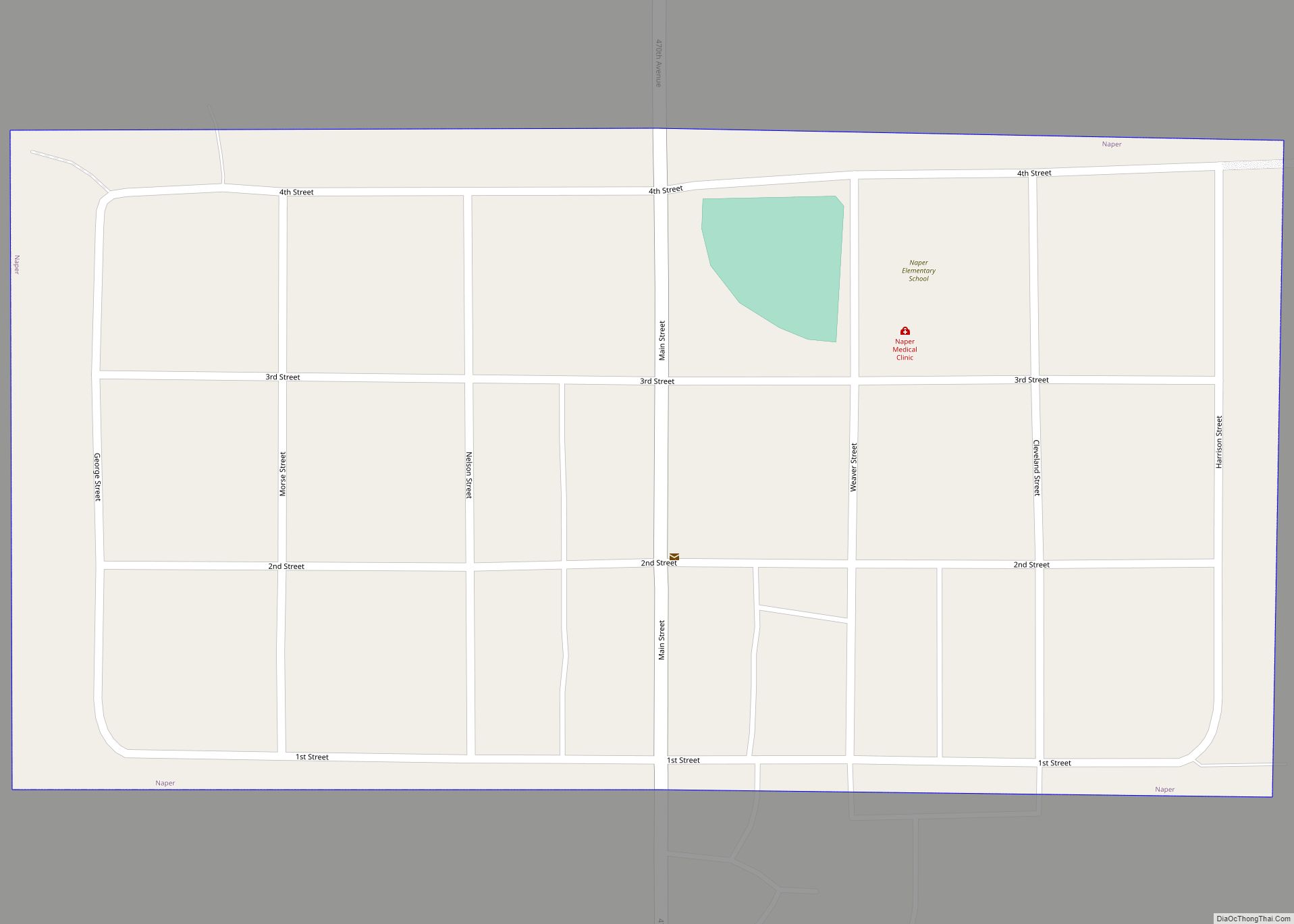
Naper is a village in Boyd County, Nebraska, United States. The population was 84 at the 2010 census, down from 105 in 2000. Naper village overview: Name: Naper village LSAD Code: 47 LSAD Description: village (suffix) State: Nebraska County: Boyd County Elevation: 1,985 ft (605 m) Total Area: 0.14 sq mi (0.35 km²) Land Area: 0.14 sq mi (0.35 km²) Water Area: 0.00 sq mi ... Read more
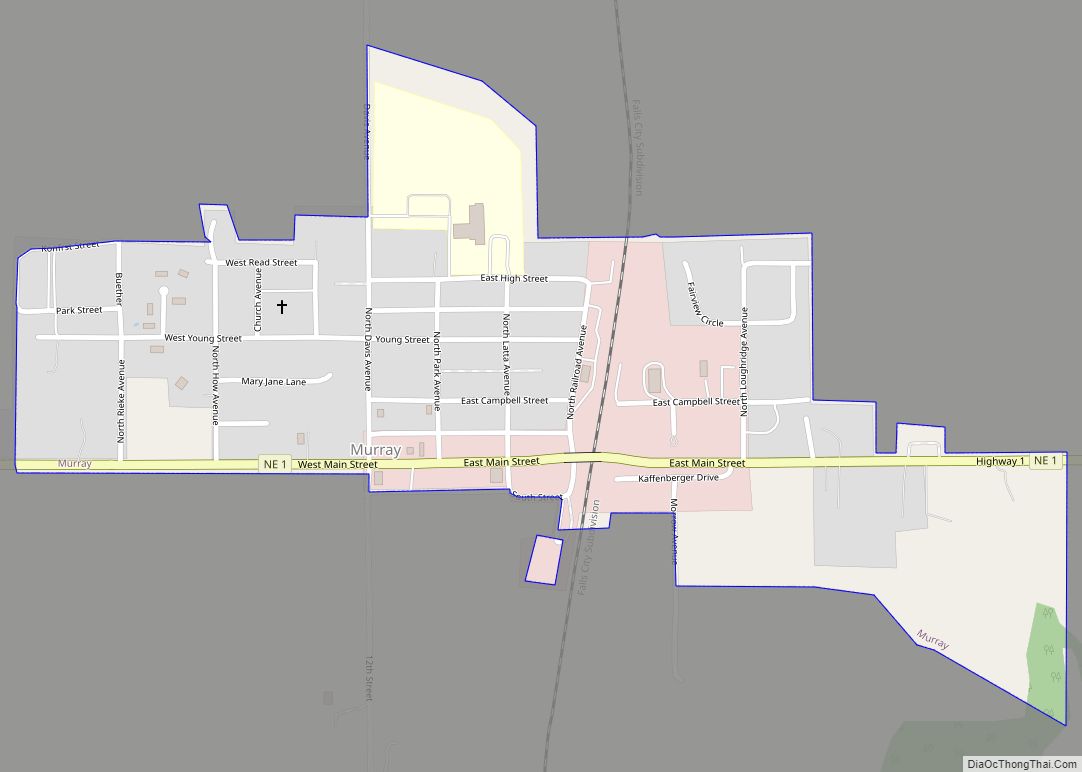
Murray is a village in Cass County, Nebraska, United States. The population was 480 at the 2020 census. Murray village overview: Name: Murray village LSAD Code: 47 LSAD Description: village (suffix) State: Nebraska County: Cass County Elevation: 1,155 ft (352 m) Total Area: 0.37 sq mi (0.97 km²) Land Area: 0.37 sq mi (0.97 km²) Water Area: 0.00 sq mi (0.00 km²) Total Population: 480 Population ... Read more
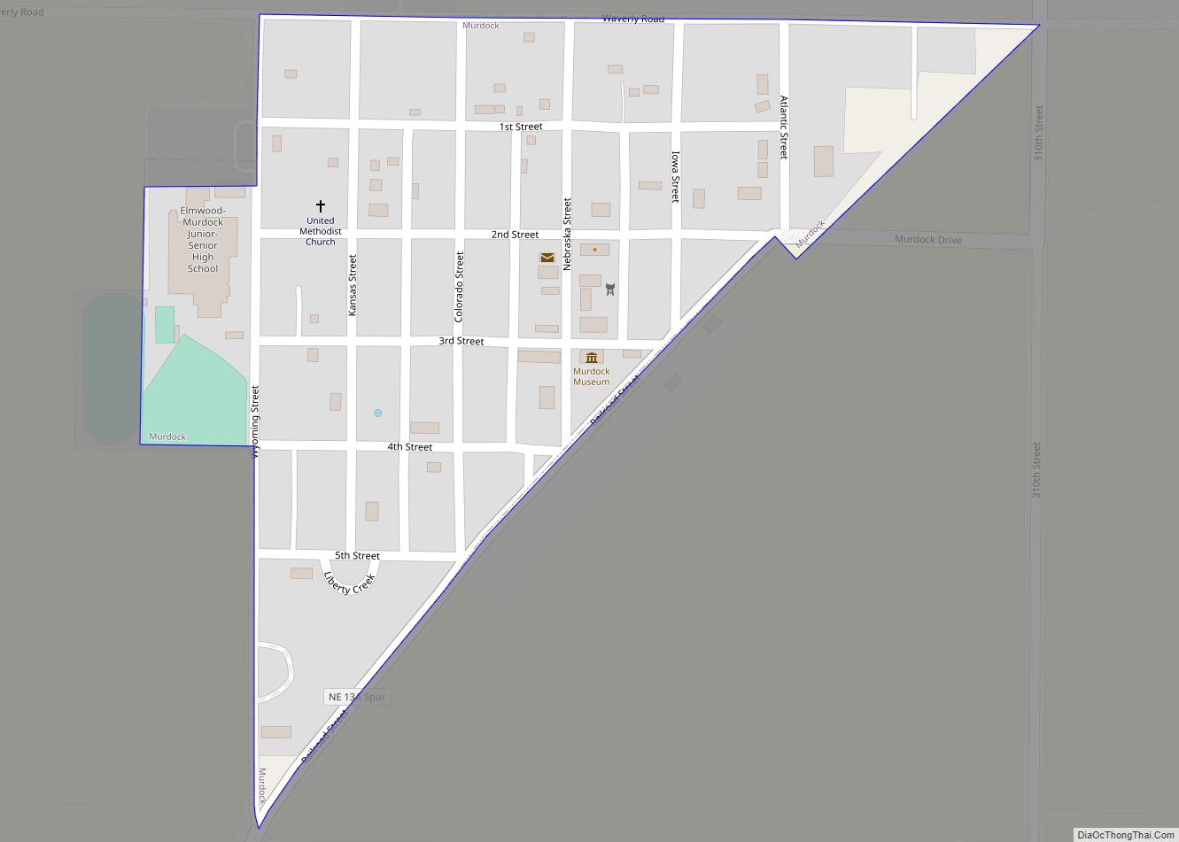
Murdock is a village in Cass County, Nebraska, United States. The population was 270 according to the 2020 census. Murdock village overview: Name: Murdock village LSAD Code: 47 LSAD Description: village (suffix) State: Nebraska County: Cass County Elevation: 1,283 ft (391 m) Total Area: 0.13 sq mi (0.33 km²) Land Area: 0.13 sq mi (0.33 km²) Water Area: 0.00 sq mi (0.00 km²) Total Population: 270 ... Read more
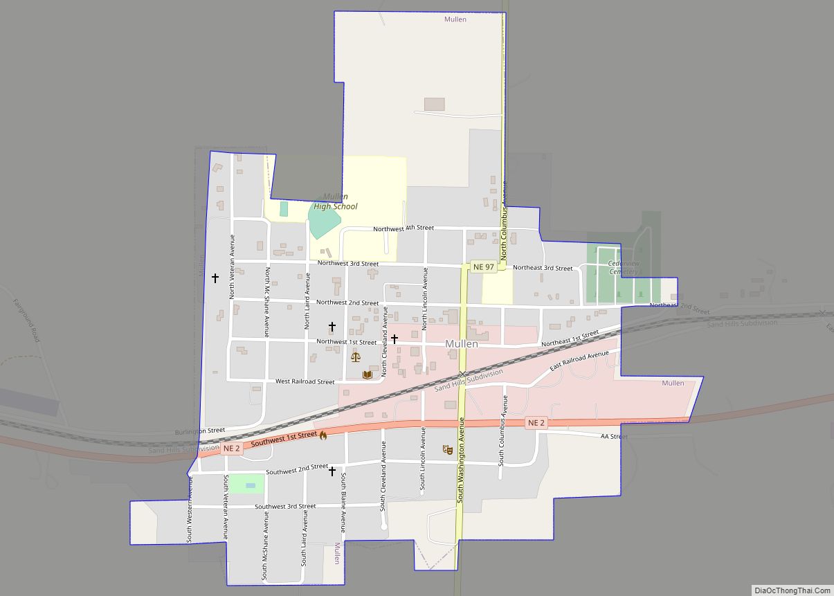
Mullen is a village in Hooker County, Nebraska, United States. The population was 509 at the 2010 census. It is the county seat of Hooker County. Mullen village overview: Name: Mullen village LSAD Code: 47 LSAD Description: village (suffix) State: Nebraska County: Hooker County Elevation: 3,215 ft (980 m) Total Area: 0.41 sq mi (1.07 km²) Land Area: 0.41 sq mi (1.07 km²) ... Read more
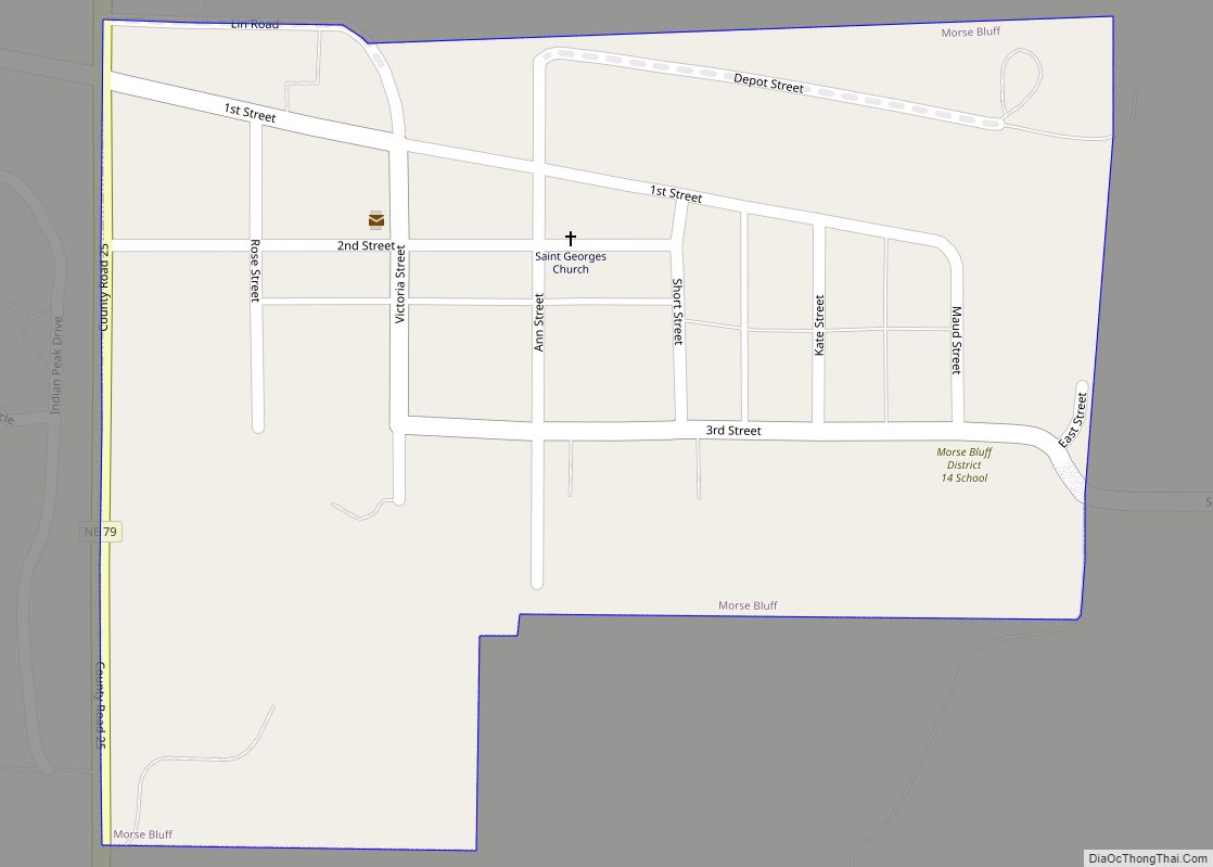
Morse Bluff is a village in Saunders County, Nebraska, United States. The population was 117 at the 2020 census. Morse Bluff village overview: Name: Morse Bluff village LSAD Code: 47 LSAD Description: village (suffix) State: Nebraska County: Saunders County Elevation: 1,289 ft (393 m) Total Area: 0.18 sq mi (0.46 km²) Land Area: 0.18 sq mi (0.46 km²) Water Area: 0.00 sq mi (0.00 km²) Total ... Read more
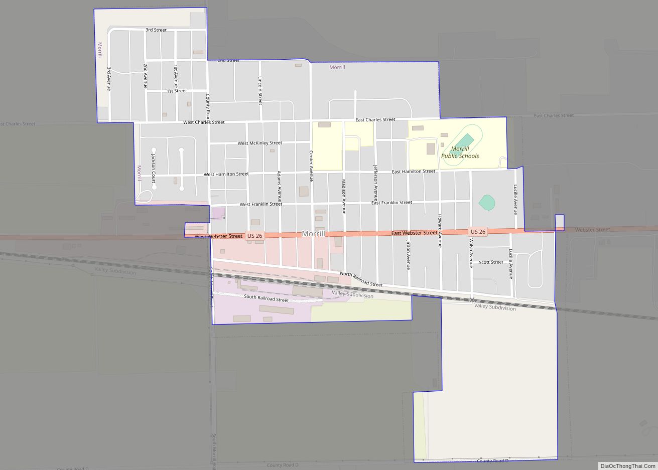
Morrill is a village located in Scotts Bluff County, in the western Panhandle, in the northwestern portion of the United States state of Nebraska. Morrill is part of the Scottsbluff, Nebraska Micropolitan Statistical Area. The population was 921 at the 2010 census. Morrill village overview: Name: Morrill village LSAD Code: 47 LSAD Description: village (suffix) ... Read more
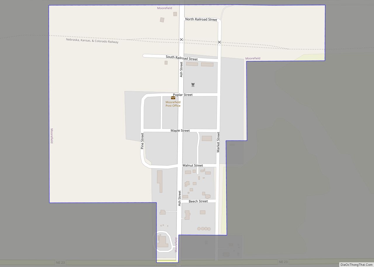
Moorefield is a village in Frontier County, Nebraska, United States. The population was 32 at the 2010 census. Moorefield village overview: Name: Moorefield village LSAD Code: 47 LSAD Description: village (suffix) State: Nebraska County: Frontier County Elevation: 2,831 ft (863 m) Total Area: 0.17 sq mi (0.43 km²) Land Area: 0.17 sq mi (0.43 km²) Water Area: 0.00 sq mi (0.00 km²) Total Population: 27 Population ... Read more
Monroe is a village in Platte County, Nebraska, United States. The population was 284 at the 2010 census. Monroe village overview: Name: Monroe village LSAD Code: 47 LSAD Description: village (suffix) State: Nebraska County: Platte County Elevation: 1,522 ft (464 m) Total Area: 0.20 sq mi (0.51 km²) Land Area: 0.20 sq mi (0.51 km²) Water Area: 0.00 sq mi (0.00 km²) Total Population: 296 Population ... Read more
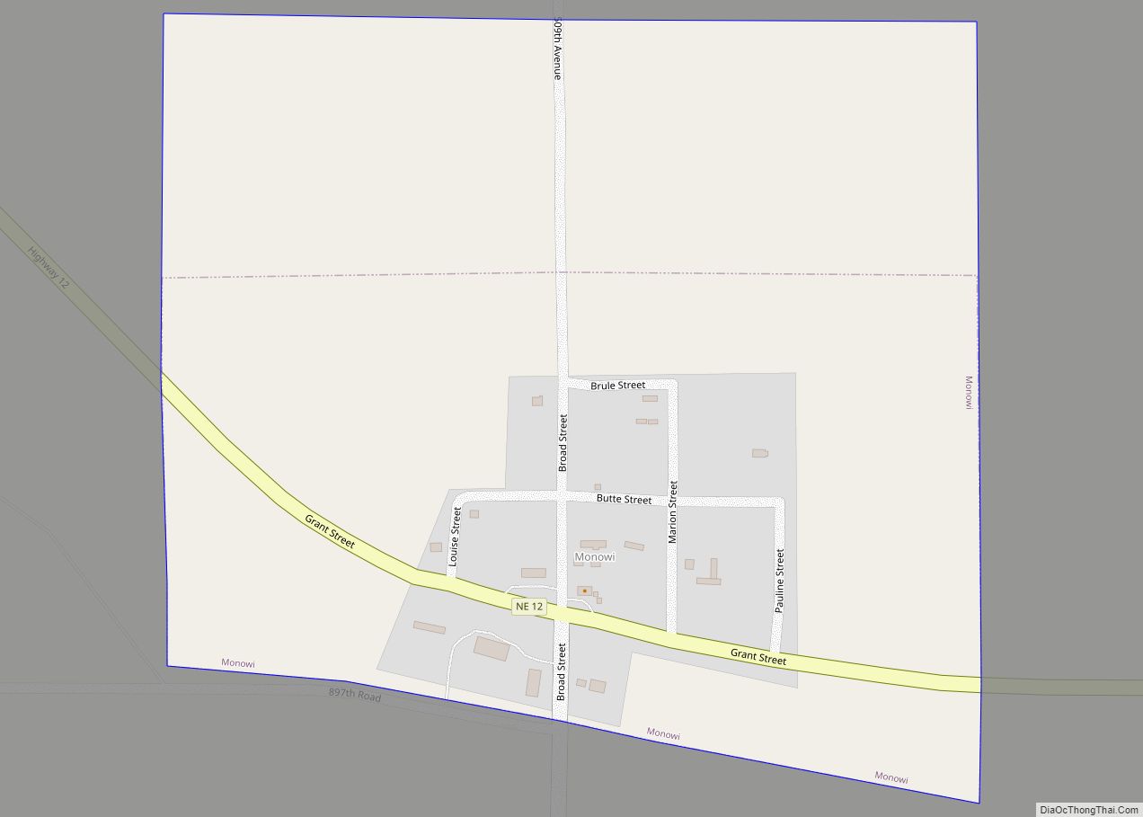
Monowi (/ˈmɒnoʊwaɪ/ MON-oh-wy) is an incorporated village in Boyd County, Nebraska, United States. It garnered national and international recognition after the 2010 United States census counted only one resident of the village, Elsie Eiler. Though the 2020 census listed Monowi’s population as two, this was confirmed to be an example of differential privacy in the ... Read more
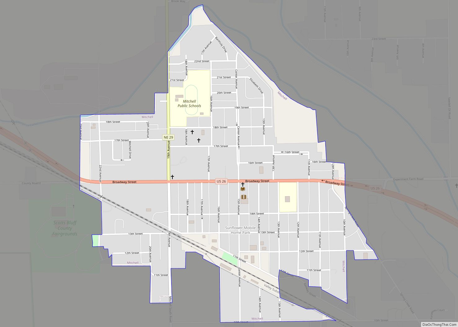
Mitchell is a city in Scotts Bluff County, Nebraska, United States. It is part of the Scottsbluff, Nebraska Micropolitan Statistical Area. The population was 1,702 at the 2010 census. Mitchell city overview: Name: Mitchell city LSAD Code: 25 LSAD Description: city (suffix) State: Nebraska County: Scotts Bluff County Incorporated: 1902 Elevation: 3,950 ft (1,200 m) Total Area: ... Read more

