Mullen is a village in Hooker County, Nebraska, United States. The population was 509 at the 2010 census. It is the county seat of Hooker County.
| Name: | Mullen village |
|---|---|
| LSAD Code: | 47 |
| LSAD Description: | village (suffix) |
| State: | Nebraska |
| County: | Hooker County |
| Elevation: | 3,215 ft (980 m) |
| Total Area: | 0.41 sq mi (1.07 km²) |
| Land Area: | 0.41 sq mi (1.07 km²) |
| Water Area: | 0.00 sq mi (0.00 km²) |
| Total Population: | 500 |
| Population Density: | 1,210.65/sq mi (467.65/km²) |
| ZIP code: | 69152 |
| Area code: | 308 |
| FIPS code: | 3133250 |
| GNISfeature ID: | 0831529 |
| Website: | mullennebraska.org |
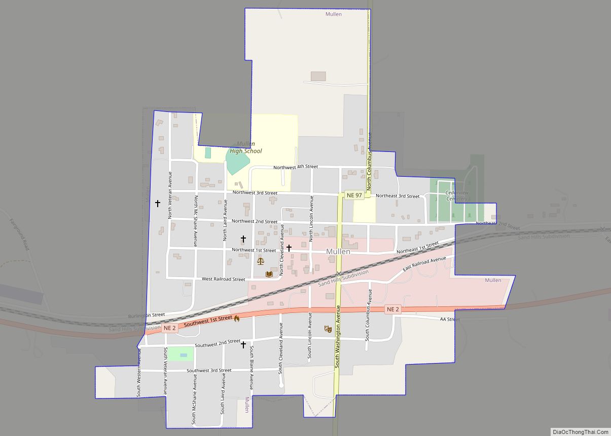
Online Interactive Map
Click on ![]() to view map in "full screen" mode.
to view map in "full screen" mode.
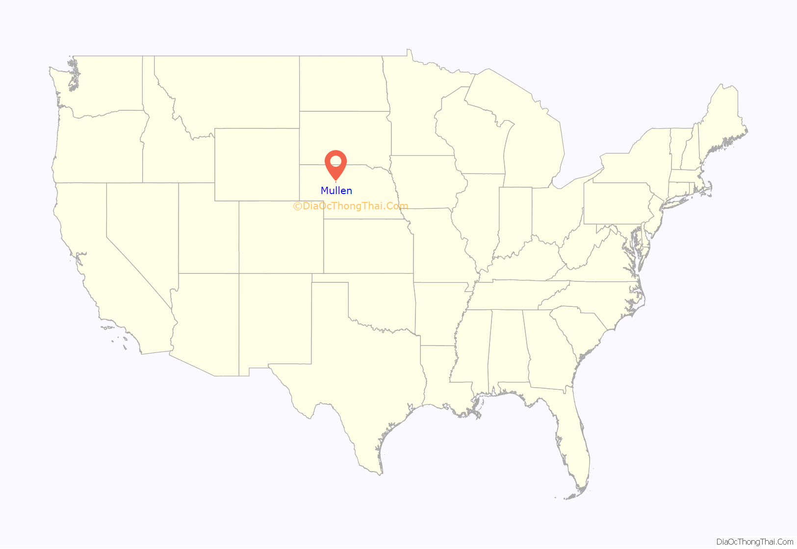
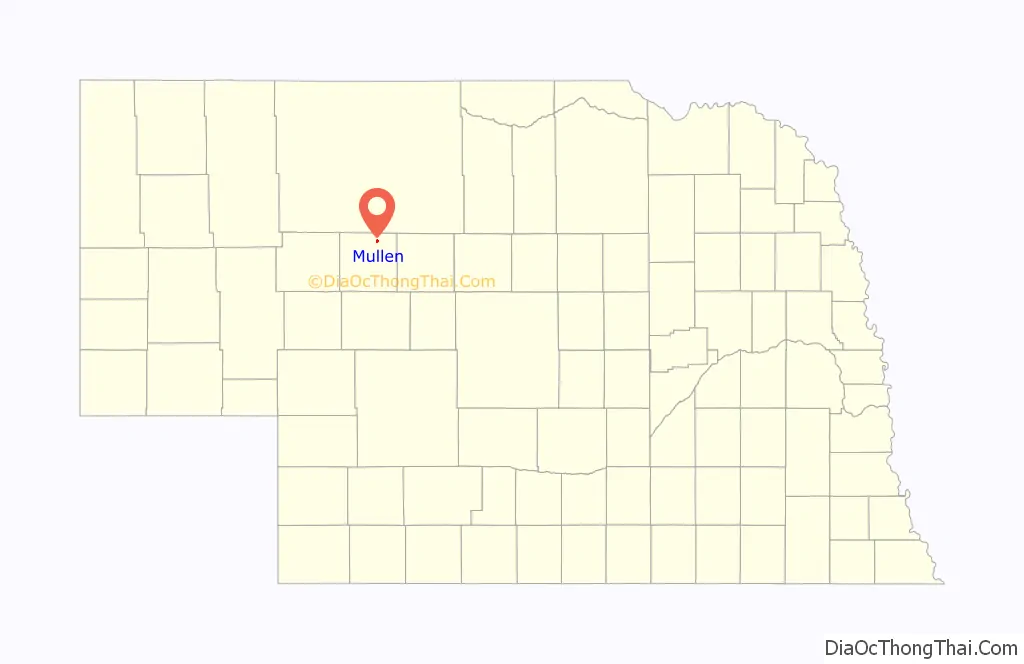
Mullen location map. Where is Mullen village?
History
Mullen was laid out in 1888 when the railroad was extended to that point. It was named for Charles Mullen, a railroad official. The only settlement in Hooker County, Mullen was designated the county seat and the first courthouse was completed in 1889. Mullen was incorporated as a village in 1907.
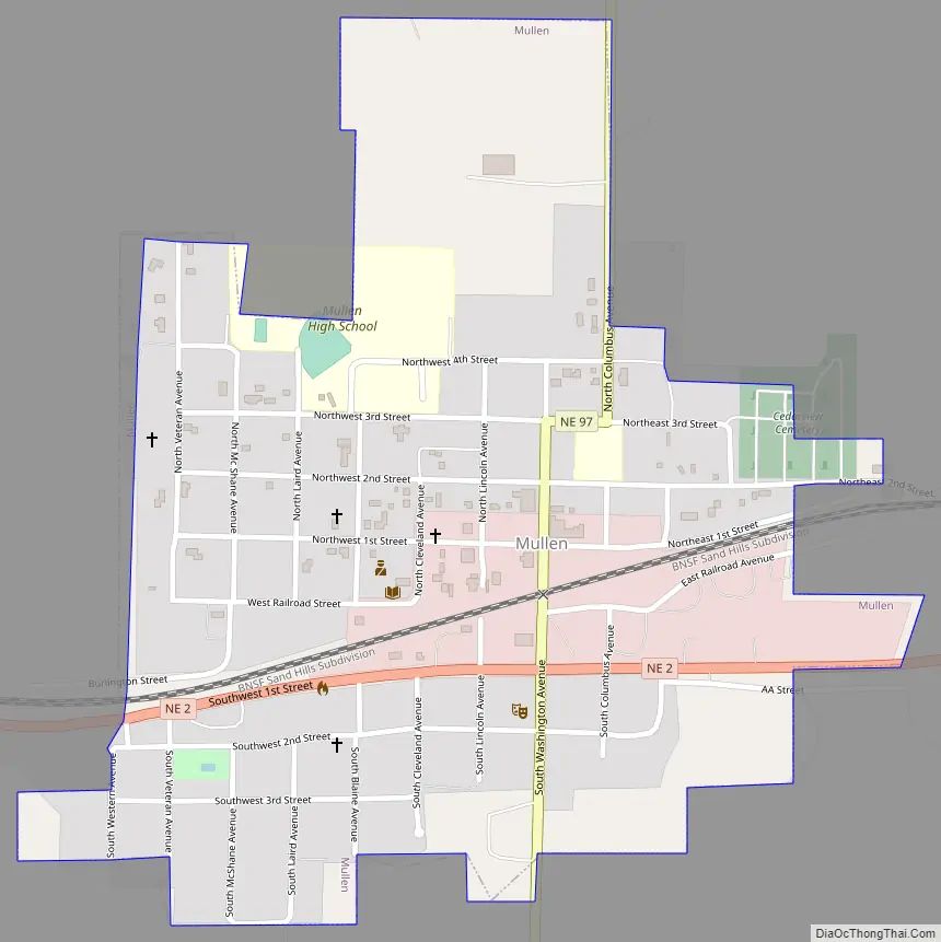
Mullen Road Map
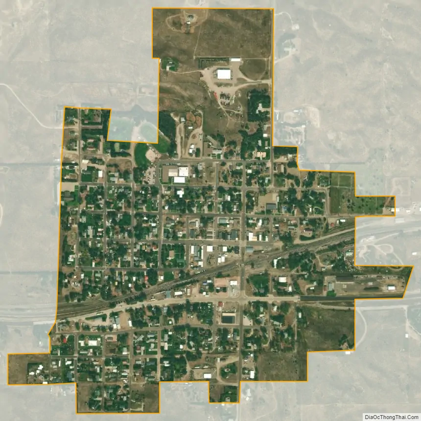
Mullen city Satellite Map
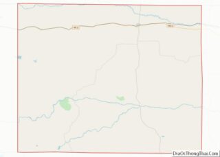
Geography
Mullen is located at 42°2′33″N 101°2′44″W / 42.04250°N 101.04556°W / 42.04250; -101.04556 (42.042480, -101.045611), in the Nebraska Sandhills.
According to the United States Census Bureau, the village has a total area of 0.47 square miles (1.22 km), all land. Mullen was named after Charles D. Mullen of Lincoln. At that time, Mullen was Chief Clerk for Mr. D.E. Thompson, Division Superintendent of the CB&Q Railroad.
Climate
See also
Map of Nebraska State and its subdivision:- Adams
- Antelope
- Arthur
- Banner
- Blaine
- Boone
- Box Butte
- Boyd
- Brown
- Buffalo
- Burt
- Butler
- Cass
- Cedar
- Chase
- Cherry
- Cheyenne
- Clay
- Colfax
- Cuming
- Custer
- Dakota
- Dawes
- Dawson
- Deuel
- Dixon
- Dodge
- Douglas
- Dundy
- Fillmore
- Franklin
- Frontier
- Furnas
- Gage
- Garden
- Garfield
- Gosper
- Grant
- Greeley
- Hall
- Hamilton
- Harlan
- Hayes
- Hitchcock
- Holt
- Hooker
- Howard
- Jefferson
- Johnson
- Kearney
- Keith
- Keya Paha
- Kimball
- Knox
- Lancaster
- Lincoln
- Logan
- Loup
- Madison
- McPherson
- Merrick
- Morrill
- Nance
- Nemaha
- Nuckolls
- Otoe
- Pawnee
- Perkins
- Phelps
- Pierce
- Platte
- Polk
- Red Willow
- Richardson
- Rock
- Saline
- Sarpy
- Saunders
- Scotts Bluff
- Seward
- Sheridan
- Sherman
- Sioux
- Stanton
- Thayer
- Thomas
- Thurston
- Valley
- Washington
- Wayne
- Webster
- Wheeler
- York
- Alabama
- Alaska
- Arizona
- Arkansas
- California
- Colorado
- Connecticut
- Delaware
- District of Columbia
- Florida
- Georgia
- Hawaii
- Idaho
- Illinois
- Indiana
- Iowa
- Kansas
- Kentucky
- Louisiana
- Maine
- Maryland
- Massachusetts
- Michigan
- Minnesota
- Mississippi
- Missouri
- Montana
- Nebraska
- Nevada
- New Hampshire
- New Jersey
- New Mexico
- New York
- North Carolina
- North Dakota
- Ohio
- Oklahoma
- Oregon
- Pennsylvania
- Rhode Island
- South Carolina
- South Dakota
- Tennessee
- Texas
- Utah
- Vermont
- Virginia
- Washington
- West Virginia
- Wisconsin
- Wyoming