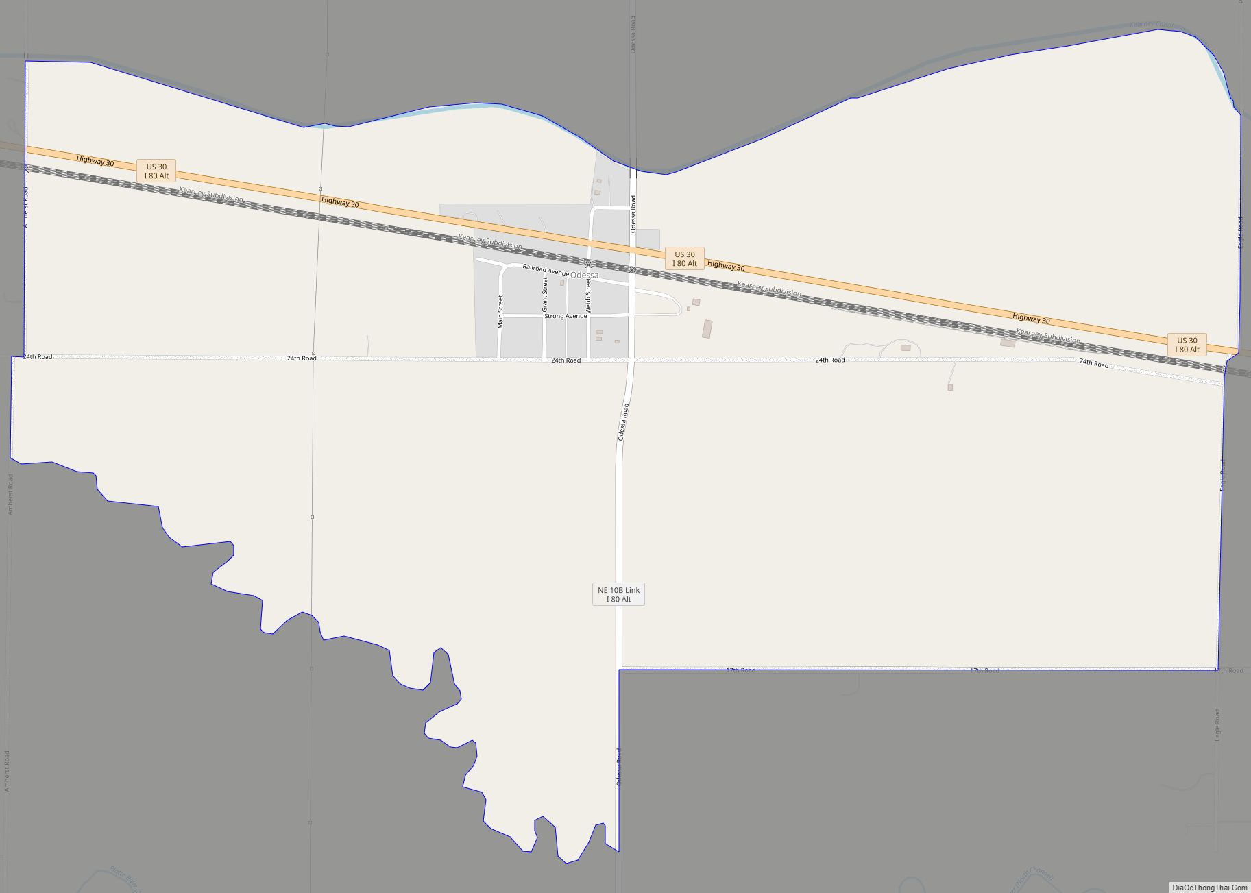
Odessa is a census-designated place (CDP) in Odessa Township, Buffalo County, Nebraska, United States. It is part of the Kearney, Nebraska Micropolitan Statistical Area. The population of the CDP was 130 at the 2010 census. It was named after Odessa, in Ukraine. Odessa CDP overview: Name: Odessa CDP LSAD Code: 57 LSAD Description: CDP (suffix) ... Read more
Nebraska Cities and Places
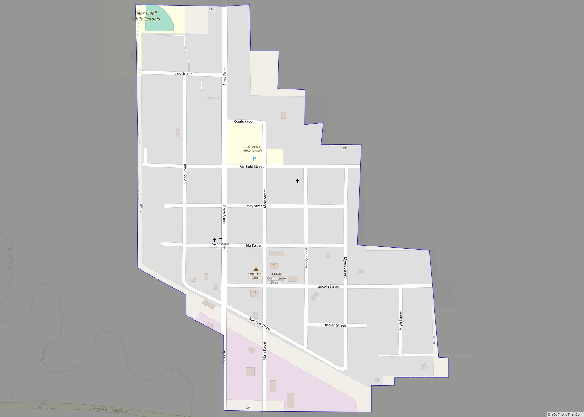
Odell is a village in Gage County, Nebraska, United States. The population was 260 at the 2020 census. Odell village overview: Name: Odell village LSAD Code: 47 LSAD Description: village (suffix) State: Nebraska County: Gage County Elevation: 1,309 ft (399 m) Total Area: 0.26 sq mi (0.68 km²) Land Area: 0.26 sq mi (0.68 km²) Water Area: 0.00 sq mi (0.00 km²) Total Population: 260 Population ... Read more
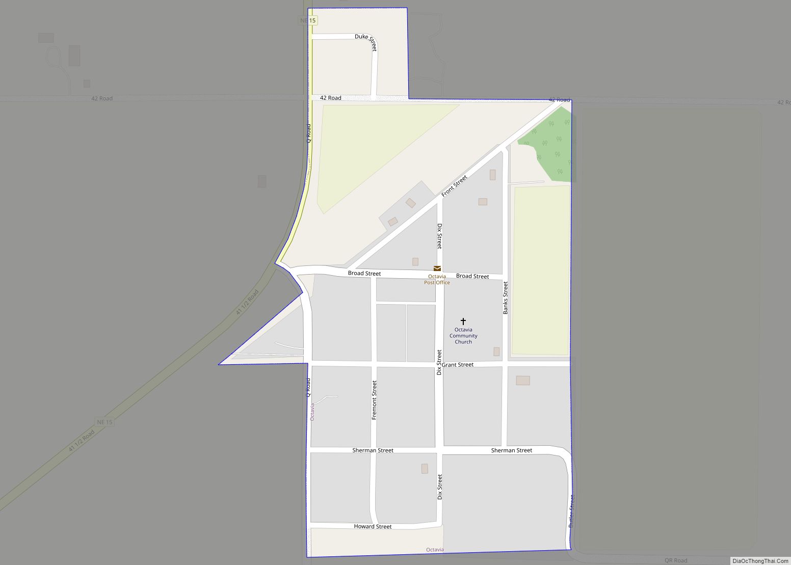
Octavia is a village in Butler County, Nebraska, United States. The city had 127 residents as of 2010 census, according to the United States Census Bureau. Octavia village overview: Name: Octavia village LSAD Code: 47 LSAD Description: village (suffix) State: Nebraska County: Butler County Elevation: 1,411 ft (430 m) Total Area: 0.16 sq mi (0.43 km²) Land Area: 0.16 sq mi (0.43 km²) ... Read more
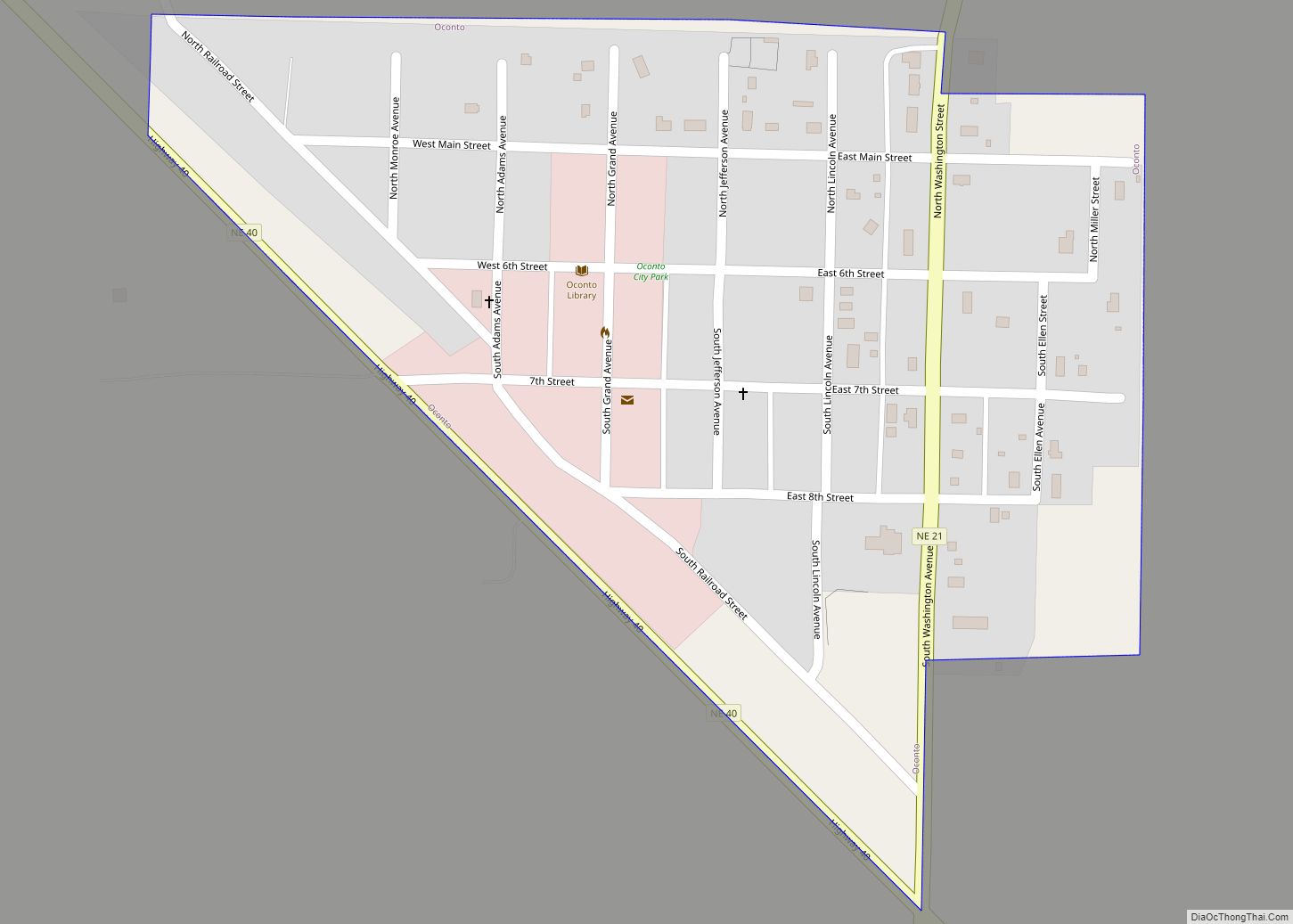
Oconto is a village in Custer County, Nebraska, United States. The population was 151 at the 2010 census. Oconto village overview: Name: Oconto village LSAD Code: 47 LSAD Description: village (suffix) State: Nebraska County: Custer County Founded: 1887 Incorporated: 1906 Elevation: 2,575 ft (785 m) Total Area: 0.20 sq mi (0.53 km²) Land Area: 0.20 sq mi (0.53 km²) Water Area: 0.00 sq mi (0.00 km²) ... Read more
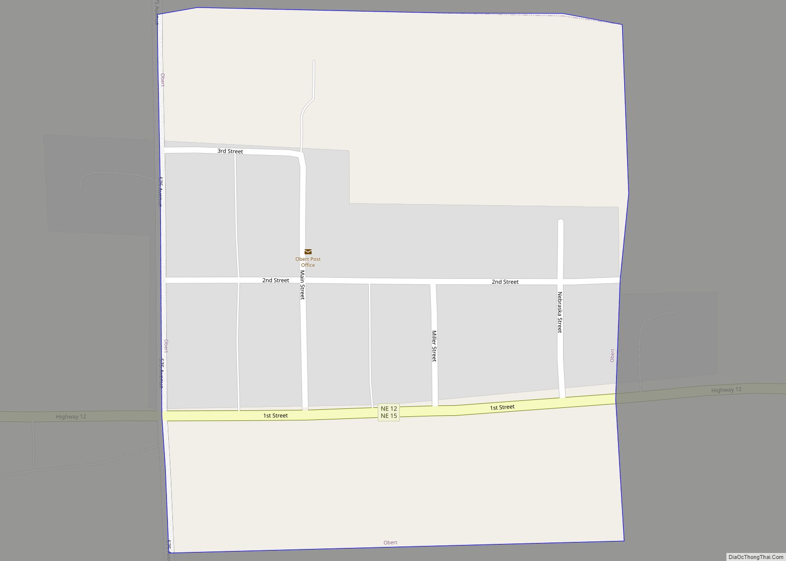
Obert is a village in Cedar County, Nebraska, United States. The population was 23 at the 2020 census. Obert village overview: Name: Obert village LSAD Code: 47 LSAD Description: village (suffix) State: Nebraska County: Cedar County Elevation: 1,342 ft (409 m) Total Area: 0.07 sq mi (0.19 km²) Land Area: 0.07 sq mi (0.19 km²) Water Area: 0.00 sq mi (0.00 km²) Total Population: 23 Population ... Read more
Oakland is a city in Burt County, Nebraska, United States. The population was 1,244 at the 2010 census. Oakland continues to build on its strong foundation with its bi-annual Swedish Festival and is known by its proclamation from the Swedish Consul-General and the Governor of Nebraska as the “Swedish Capital of Nebraska.” Oakland city overview: ... Read more
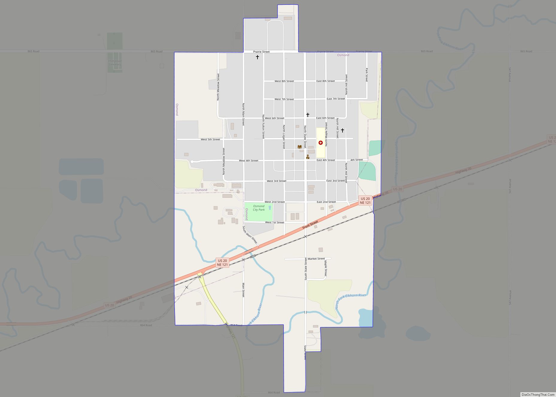
Osmond is a city in Pierce County, Nebraska, United States. It is part of the Norfolk, Nebraska Micropolitan Statistical Area. The population was 791 at the 2020 census. Osmond city overview: Name: Osmond city LSAD Code: 25 LSAD Description: city (suffix) State: Nebraska County: Pierce County Elevation: 1,660 ft (506 m) Total Area: 0.80 sq mi (2.07 km²) Land Area: ... Read more
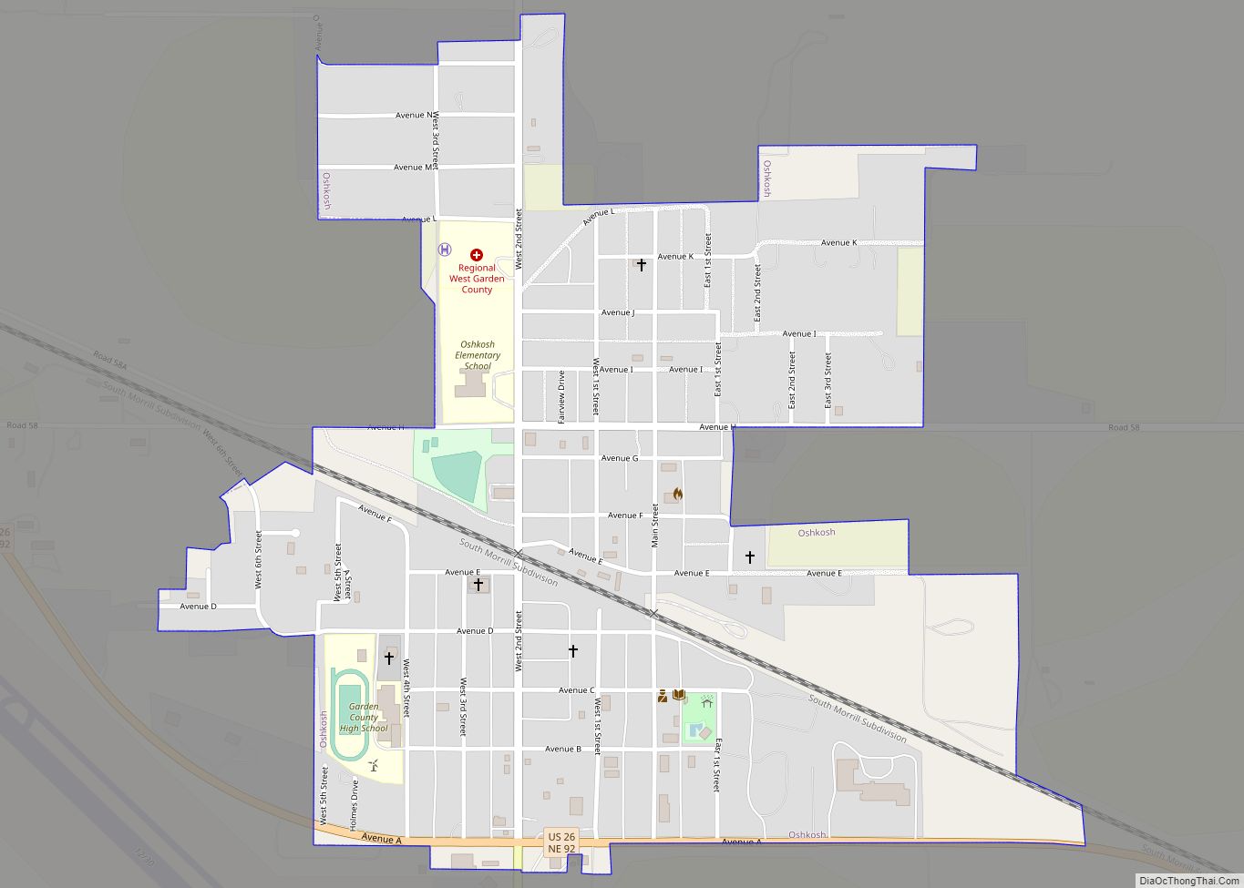
Oshkosh is a city in Garden County, Nebraska, United States. The population was 884 at the 2010 census. It is the county seat of Garden County. Oshkosh city overview: Name: Oshkosh city LSAD Code: 25 LSAD Description: city (suffix) State: Nebraska County: Garden County Incorporated: 1910 Elevation: 3,389 ft (1,033 m) Total Area: 0.67 sq mi (1.74 km²) Land Area: ... Read more
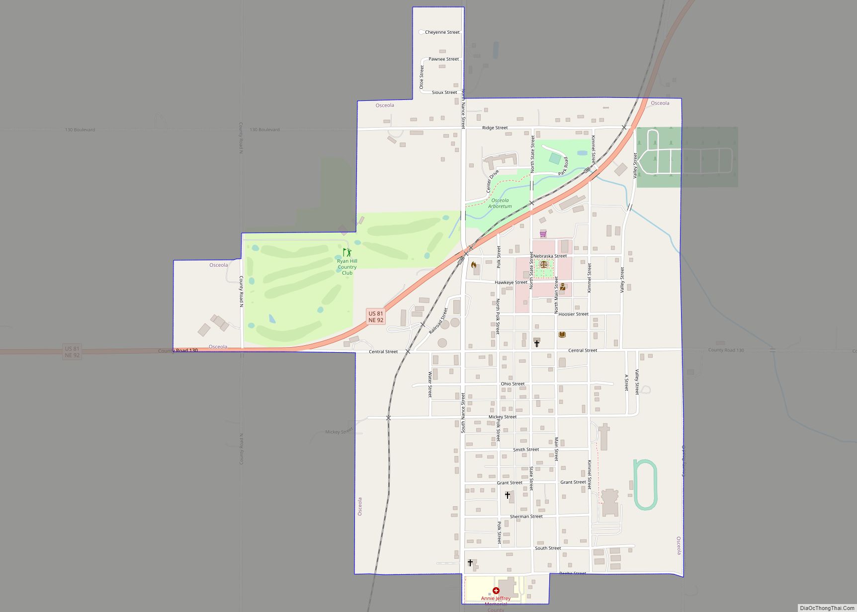
Osceola is a city and the county seat of Polk County, Nebraska, United States. The population was 880 as of the 2010 census. Osceola city overview: Name: Osceola city LSAD Code: 25 LSAD Description: city (suffix) State: Nebraska County: Polk County Elevation: 1,667 ft (508 m) Total Area: 0.92 sq mi (2.39 km²) Land Area: 0.92 sq mi (2.39 km²) Water Area: 0.00 sq mi ... Read more
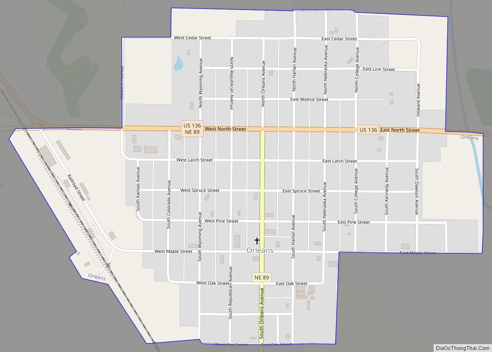
Orleans is a village in Harlan County, Nebraska, United States. The population was 386 at the 2010 census. Orleans village overview: Name: Orleans village LSAD Code: 47 LSAD Description: village (suffix) State: Nebraska County: Harlan County Elevation: 2,011 ft (613 m) Total Area: 0.60 sq mi (1.55 km²) Land Area: 0.60 sq mi (1.55 km²) Water Area: 0.00 sq mi (0.00 km²) Total Population: 341 Population ... Read more
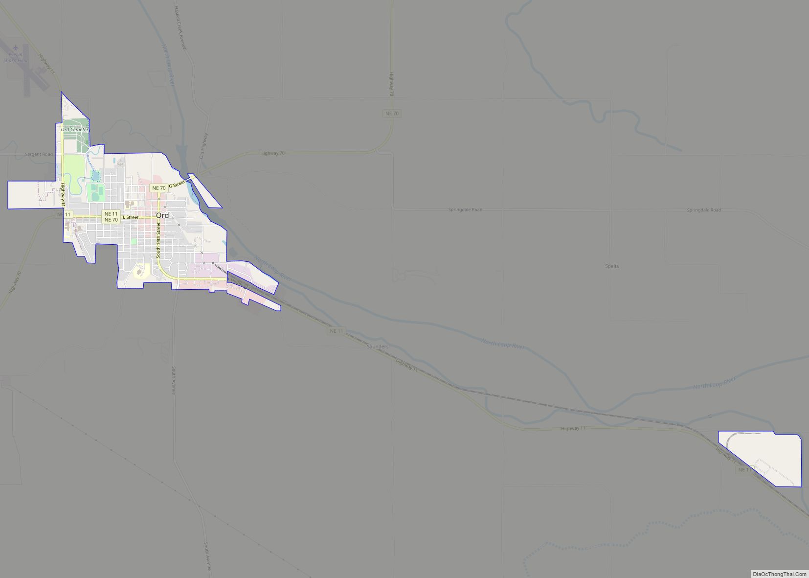
Ord is a city in Valley County, Nebraska, United States. The population was 2,112 at the 2010 census. It is the county seat of Valley County. Ord city overview: Name: Ord city LSAD Code: 25 LSAD Description: city (suffix) State: Nebraska County: Valley County Elevation: 2,051 ft (625 m) Total Area: 2.10 sq mi (5.44 km²) Land Area: 2.10 sq mi (5.44 km²) ... Read more
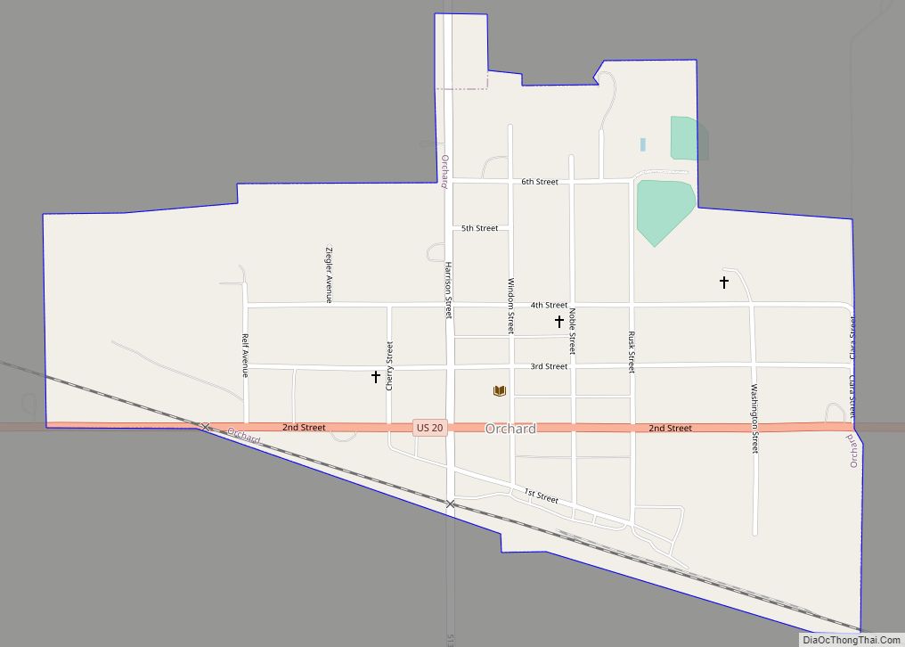
Orchard is a village in Antelope County, Nebraska, United States. The population was 379 at the 2010 census. Orchard village overview: Name: Orchard village LSAD Code: 47 LSAD Description: village (suffix) State: Nebraska County: Antelope County Elevation: 1,942 ft (592 m) Total Area: 0.40 sq mi (1.02 km²) Land Area: 0.40 sq mi (1.02 km²) Water Area: 0.00 sq mi (0.00 km²) Total Population: 363 Population ... Read more
