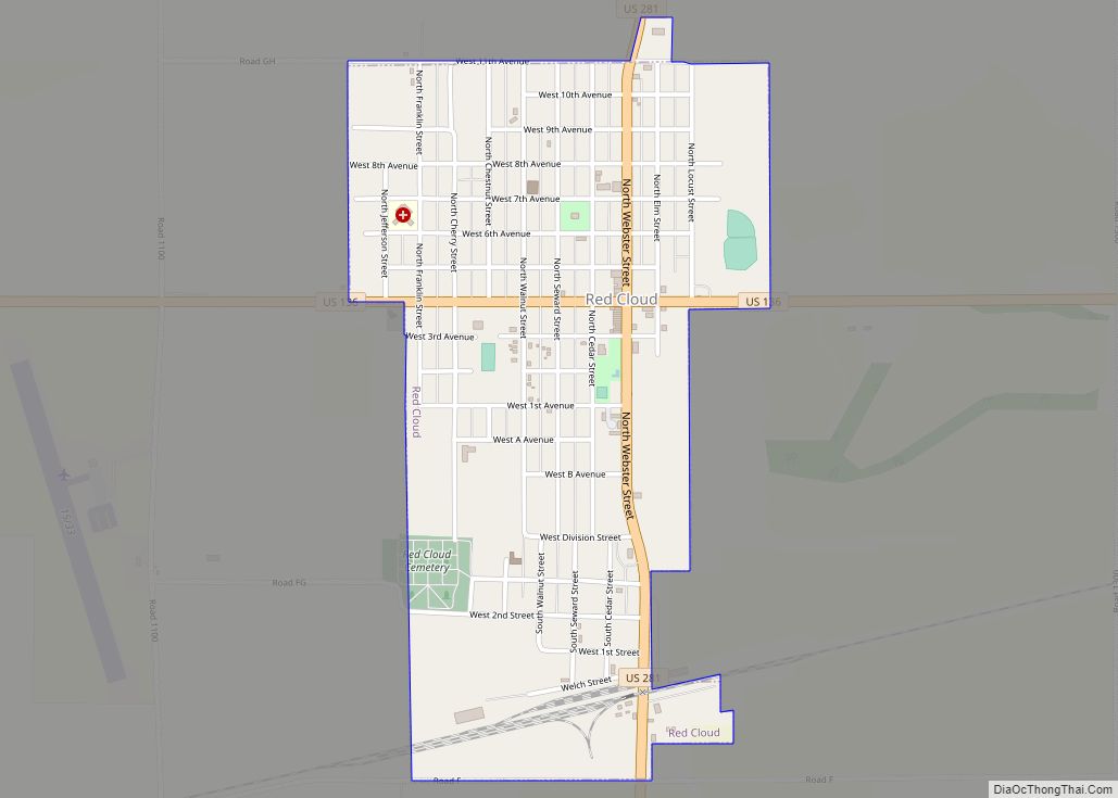
Red Cloud is a city in and the county seat of Webster County, Nebraska, United States. The population was 962 at the 2020 census. Red Cloud city overview: Name: Red Cloud city LSAD Code: 25 LSAD Description: city (suffix) State: Nebraska County: Webster County Elevation: 1,719 ft (524 m) Total Area: 1.03 sq mi (2.66 km²) Land Area: 1.03 sq mi (2.66 km²) ... Read more
Nebraska Cities and Places
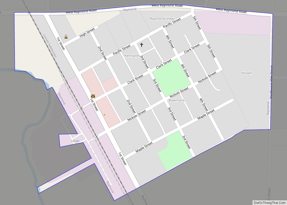
Raymond is a village in Lancaster County, Nebraska, United States. It is part of the Lincoln, Nebraska Metropolitan Statistical Area. The population was 159 at the 2020 census. Raymond village overview: Name: Raymond village LSAD Code: 47 LSAD Description: village (suffix) State: Nebraska County: Lancaster County Elevation: 1,240 ft (380 m) Total Area: 0.13 sq mi (0.34 km²) Land Area: ... Read more
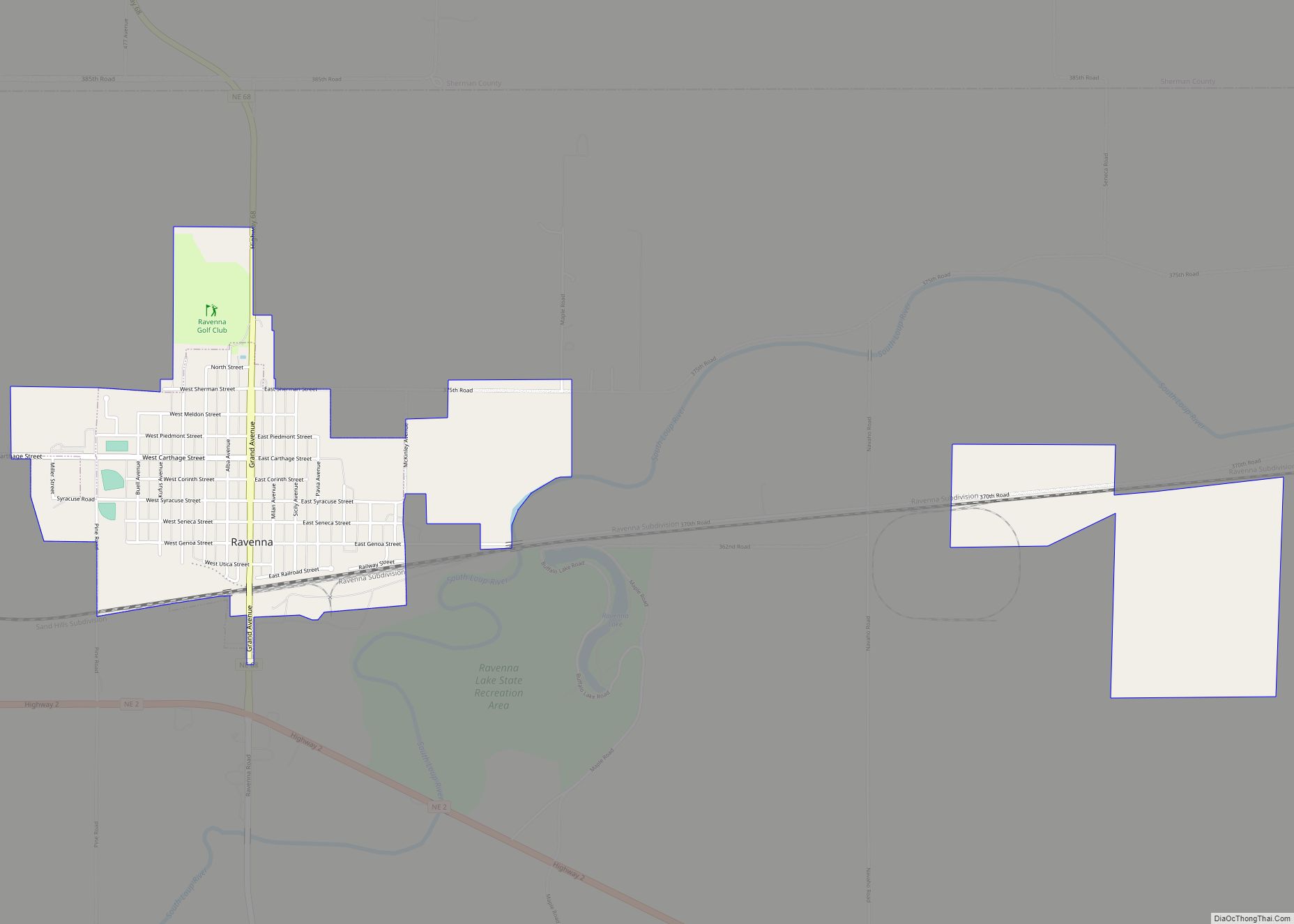
Ravenna is a city in Buffalo County, Nebraska, United States. It is part of the Kearney, Nebraska Micropolitan Statistical Area. The population was 1,441 at the 2020 census. Ravenna city overview: Name: Ravenna city LSAD Code: 25 LSAD Description: city (suffix) State: Nebraska County: Buffalo County Elevation: 2,008 ft (612 m) Total Area: 1.67 sq mi (4.31 km²) Land Area: ... Read more
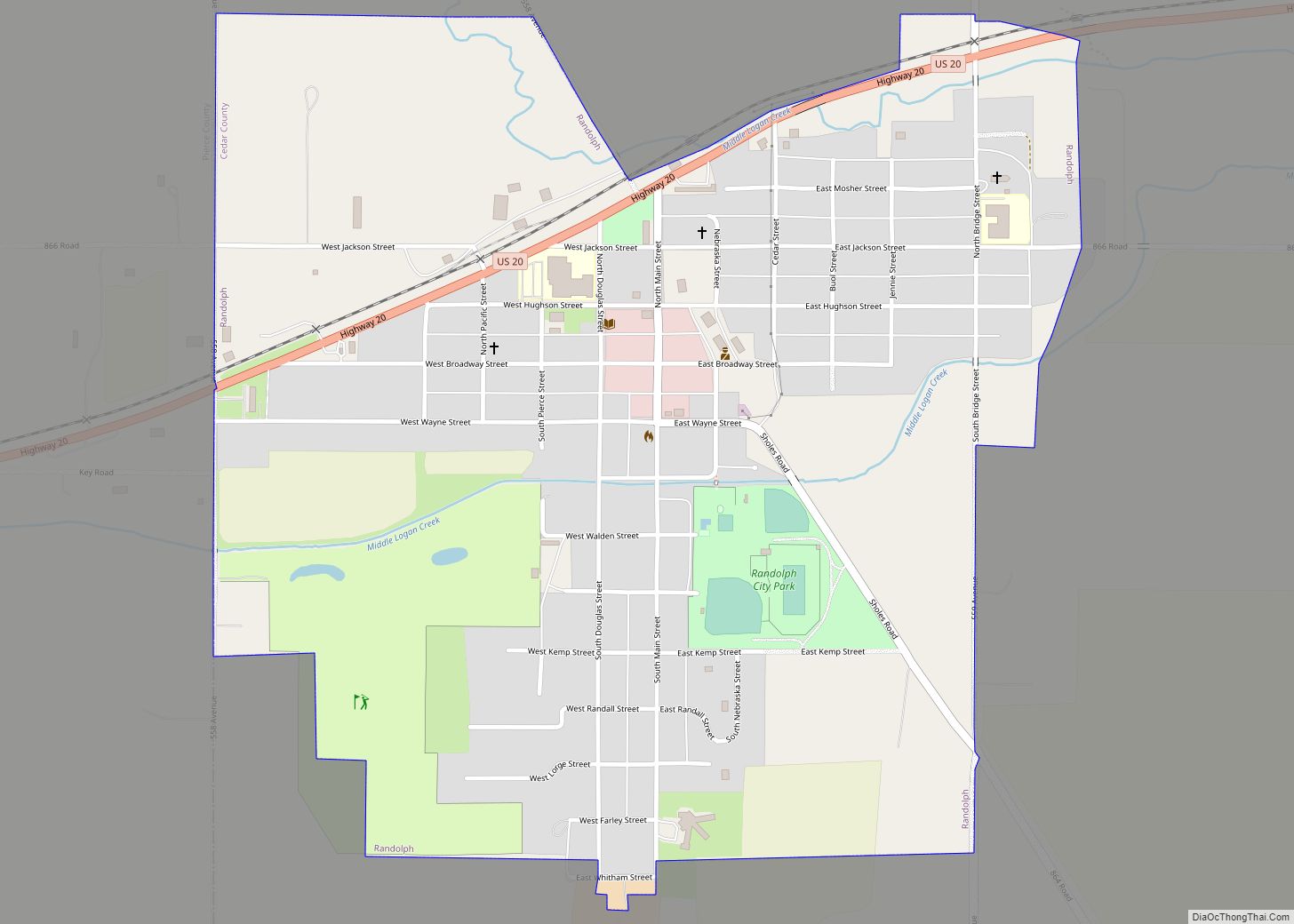
Randolph is a city in Cedar County, Nebraska, United States. The population was 881 at the 2020 census. It refers to itself as “The Honey Capital of the Nation” due to the per-capita number of bee keeping families. Randolph city overview: Name: Randolph city LSAD Code: 25 LSAD Description: city (suffix) State: Nebraska County: Cedar ... Read more
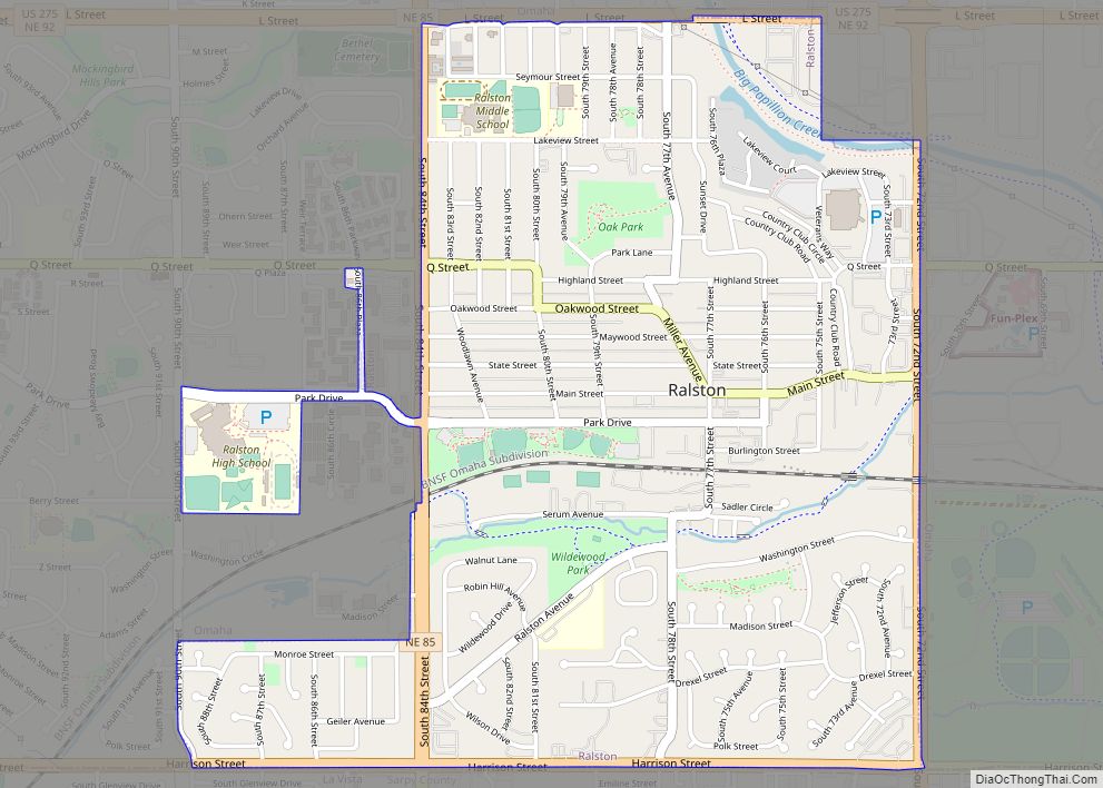
Ralston is a city in Douglas County, Nebraska, United States. The population was 6,494 at the 2020 census. A suburb of Omaha, Ralston is surrounded on three sides by the city of Omaha by 84th, 72nd, and L Streets, and by Sarpy County (Harrison Street) on the south side. Ralston city overview: Name: Ralston city ... Read more
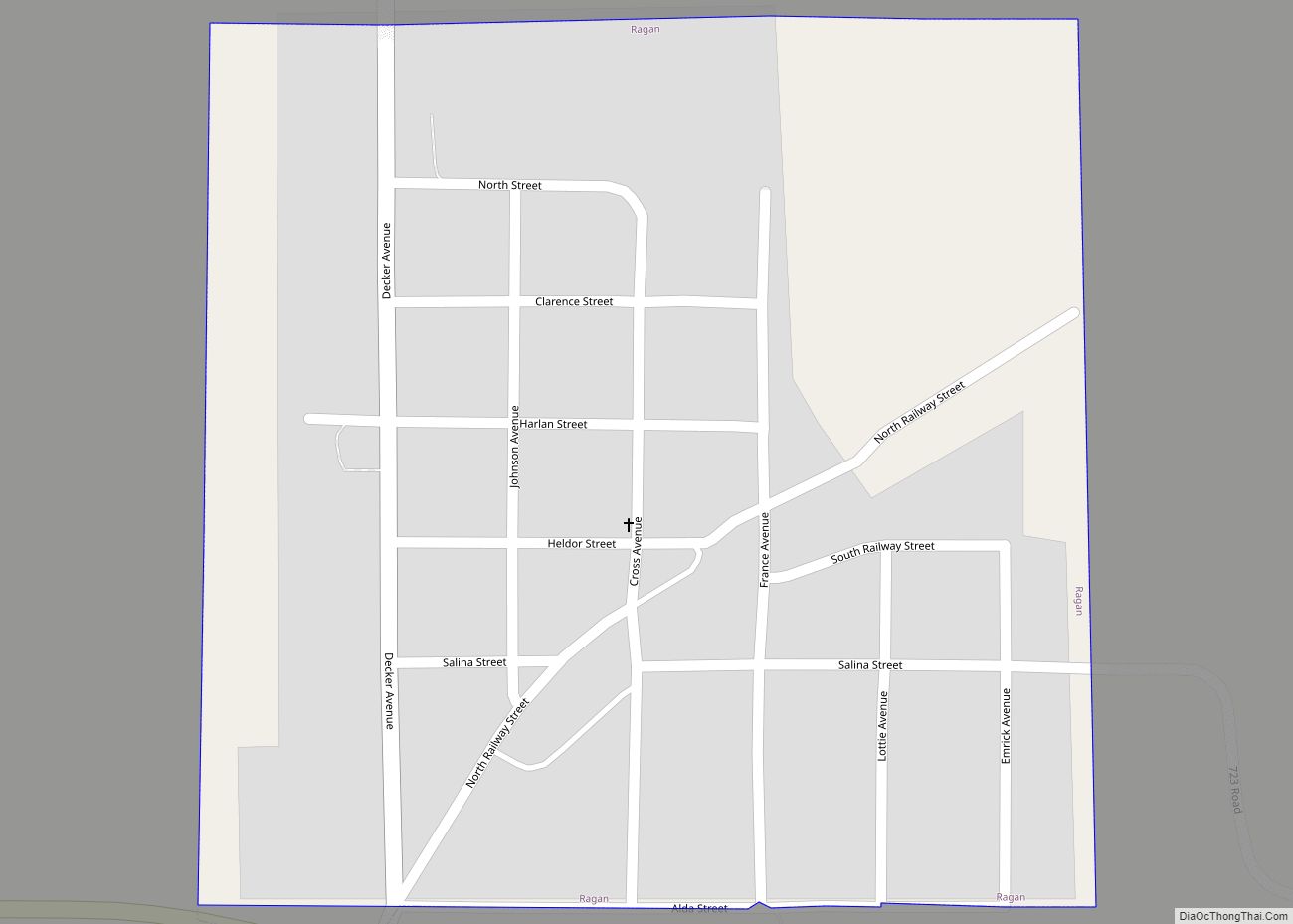
Ragan is a village in Harlan County, Nebraska, United States. The population was 38 at the 2010 census. Ragan village overview: Name: Ragan village LSAD Code: 47 LSAD Description: village (suffix) State: Nebraska County: Harlan County Elevation: 2,329 ft (710 m) Total Area: 0.25 sq mi (0.66 km²) Land Area: 0.25 sq mi (0.66 km²) Water Area: 0.00 sq mi (0.00 km²) Total Population: 22 Population ... Read more
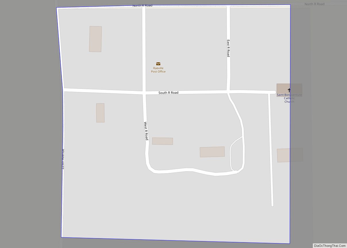
Raeville is an unincorporated village, and part of a namesake census-designated place, in Boone County, Nebraska, United States. As of the 2010 census, the community had a population of 22. Raeville is the location of the still-active St. Bonaventure Church Complex, which is on the National Register of Historic Places. The community consists of that ... Read more
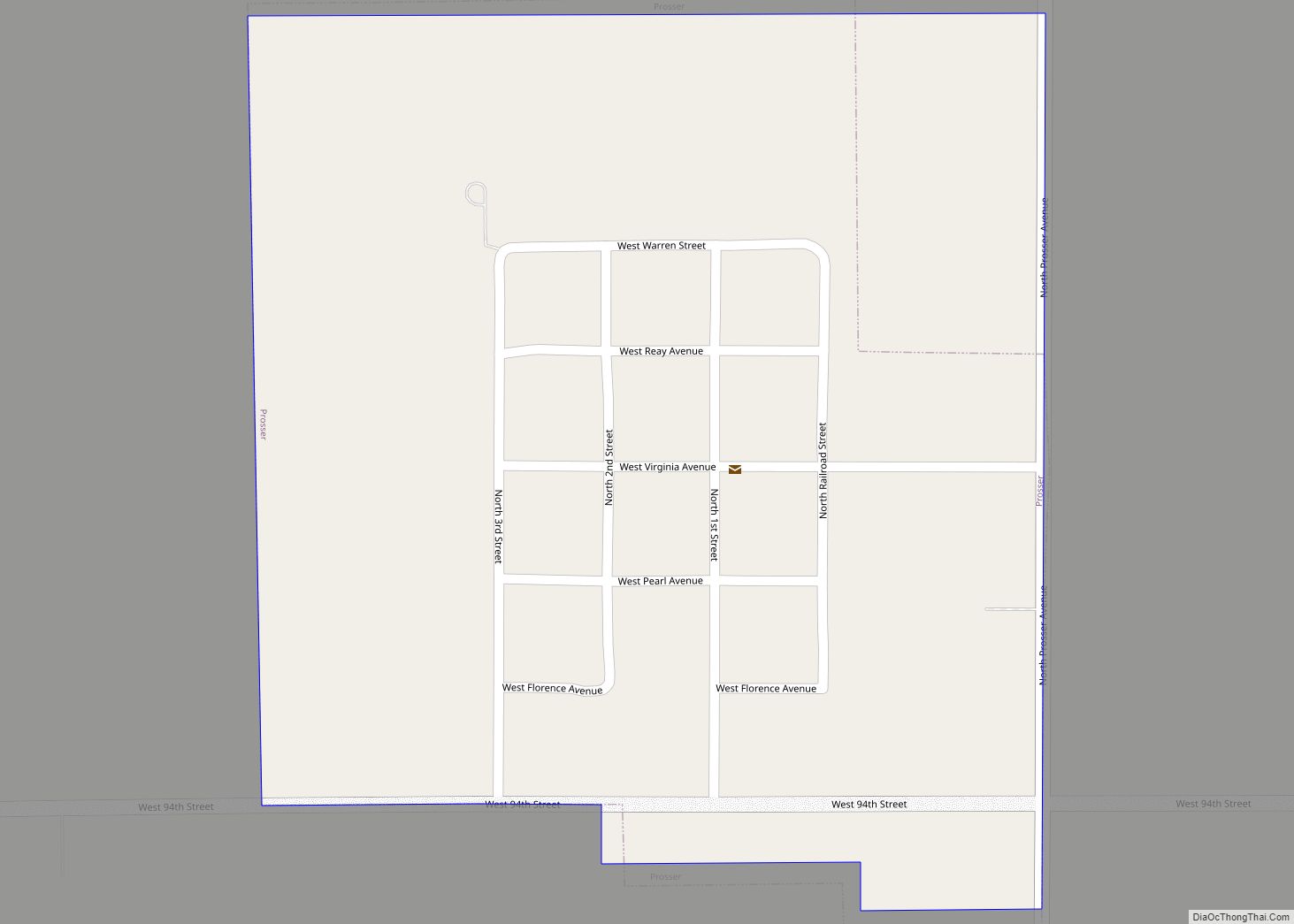
Prosser is a village in Adams County, Nebraska, United States. The population was 73 at the 2020 census. It is part of the Hastings, Nebraska, Micropolitan Statistical Area. Prosser village overview: Name: Prosser village LSAD Code: 47 LSAD Description: village (suffix) State: Nebraska County: Adams County Elevation: 2,051 ft (625 m) Total Area: 0.24 sq mi (0.63 km²) Land Area: ... Read more
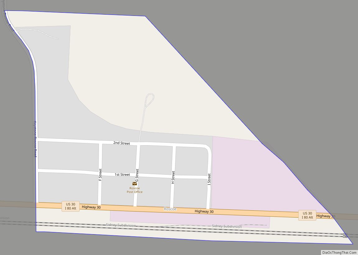
Roscoe is an unincorporated community and census-designated place in Keith County, Nebraska, United States. As of the 2010 census it had a population of 63. Roscoe CDP overview: Name: Roscoe CDP LSAD Code: 57 LSAD Description: CDP (suffix) State: Nebraska County: Keith County Elevation: 3,173 ft (967 m) Total Area: 0.16 sq mi (0.41 km²) Land Area: 0.16 sq mi (0.41 km²) Water ... Read more
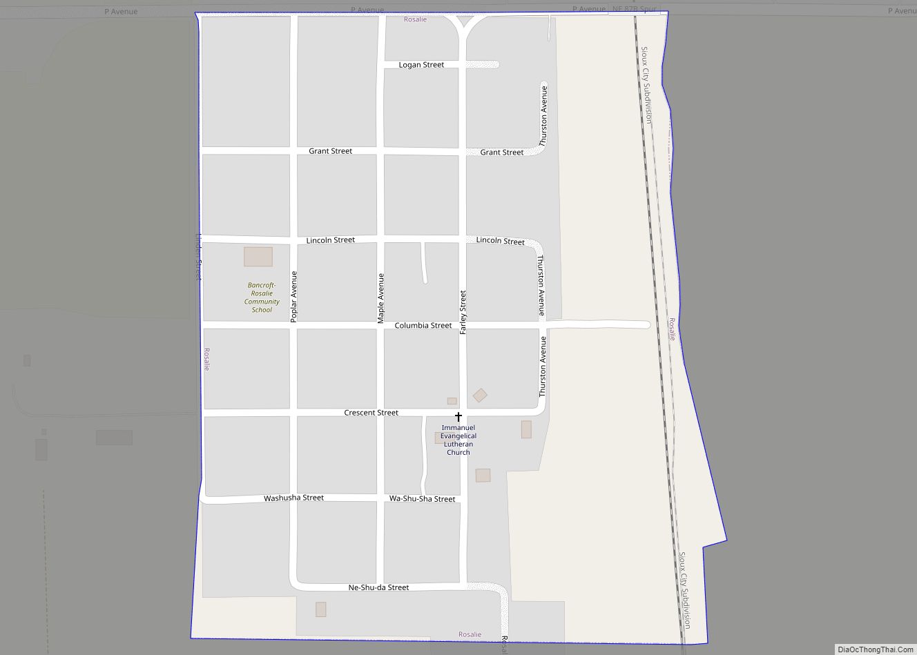
Rosalie is a village in Thurston County, Nebraska, United States, within the boundaries of the Omaha Indian Reservation. The population was 160 at the 2010 census. Rosalie village overview: Name: Rosalie village LSAD Code: 47 LSAD Description: village (suffix) State: Nebraska County: Thurston County Elevation: 1,352 ft (412 m) Total Area: 0.20 sq mi (0.51 km²) Land Area: 0.20 sq mi (0.51 km²) ... Read more
Rogers is a village in Colfax County, Nebraska, United States. The population was 95 at the 2010 census. Rogers village overview: Name: Rogers village LSAD Code: 47 LSAD Description: village (suffix) State: Nebraska County: Colfax County Elevation: 1,309 ft (399 m) Total Area: 0.17 sq mi (0.44 km²) Land Area: 0.17 sq mi (0.44 km²) Water Area: 0.00 sq mi (0.00 km²) Total Population: 82 Population ... Read more
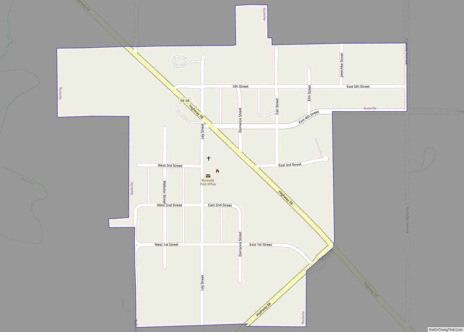
Rockville is a village in Sherman County, Nebraska, United States. The population was 106 at the 2010 census. Rockville village overview: Name: Rockville village LSAD Code: 47 LSAD Description: village (suffix) State: Nebraska County: Sherman County Elevation: 1,978 ft (603 m) Total Area: 0.22 sq mi (0.58 km²) Land Area: 0.22 sq mi (0.58 km²) Water Area: 0.00 sq mi (0.00 km²) Total Population: 89 Population ... Read more
