Red Cloud is a city in and the county seat of Webster County, Nebraska, United States. The population was 962 at the 2020 census.
| Name: | Red Cloud city |
|---|---|
| LSAD Code: | 25 |
| LSAD Description: | city (suffix) |
| State: | Nebraska |
| County: | Webster County |
| Elevation: | 1,719 ft (524 m) |
| Total Area: | 1.03 sq mi (2.66 km²) |
| Land Area: | 1.03 sq mi (2.66 km²) |
| Water Area: | 0.00 sq mi (0.00 km²) |
| Total Population: | 962 |
| Population Density: | 936.71/sq mi (361.51/km²) |
| ZIP code: | 68970 |
| Area code: | 402 |
| FIPS code: | 3140920 |
| GNISfeature ID: | 0832484 |
| Website: | visitredcloud.com |
Online Interactive Map
Click on ![]() to view map in "full screen" mode.
to view map in "full screen" mode.
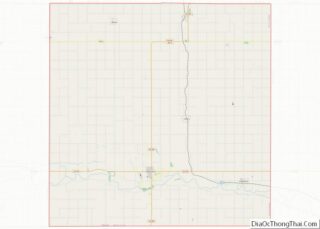
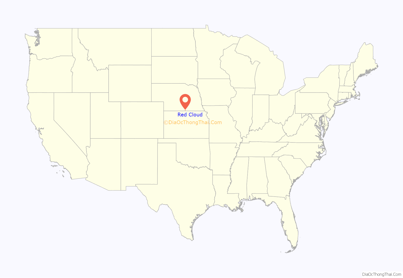
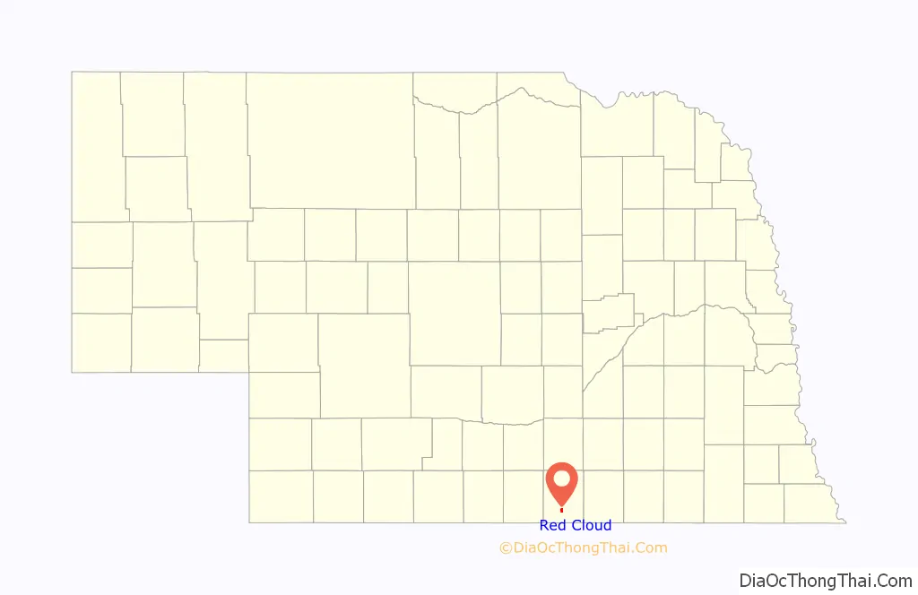
Red Cloud location map. Where is Red Cloud city?
History
The region of present-day Red Cloud was intermittently occupied and used as hunting grounds by the Pawnees until 1833. In that year, a treaty was signed in which the Pawnees surrendered their lands south of the Platte River. According to George Hyde, it is likely that the Pawnees did not realize that they were thereby giving up their lands, and that they were led to believe that they were only granting the Delawares and other relocated tribes permission to hunt in the area.
In 1870, the area that is now Webster County was opened to homesteaders. In that year, Silas Garber and other settlers filed claims along Crooked Creek, just east of the present-day city. In 1871, the town, named after the renowned Oglala Lakota leader Red Cloud, was voted county seat of the newly formed county. The city was platted in 1872.
The author Willa Cather lived in Red Cloud for several years with her family, starting in 1883 at age nine. She used the town as inspiration for several in her novels, including Black Hawk in My Ántonia. In addition to writing about the city Cather also published while living in Red Cloud. The Red Cloud Chief, the city’s first newspaper, published early contributions from the author. Several 19th-century buildings described in her books are included in the Willa Cather Historic District, the largest district dedicated to an author that is listed on the National Register of Historic Places. Her childhood home is part of the district.
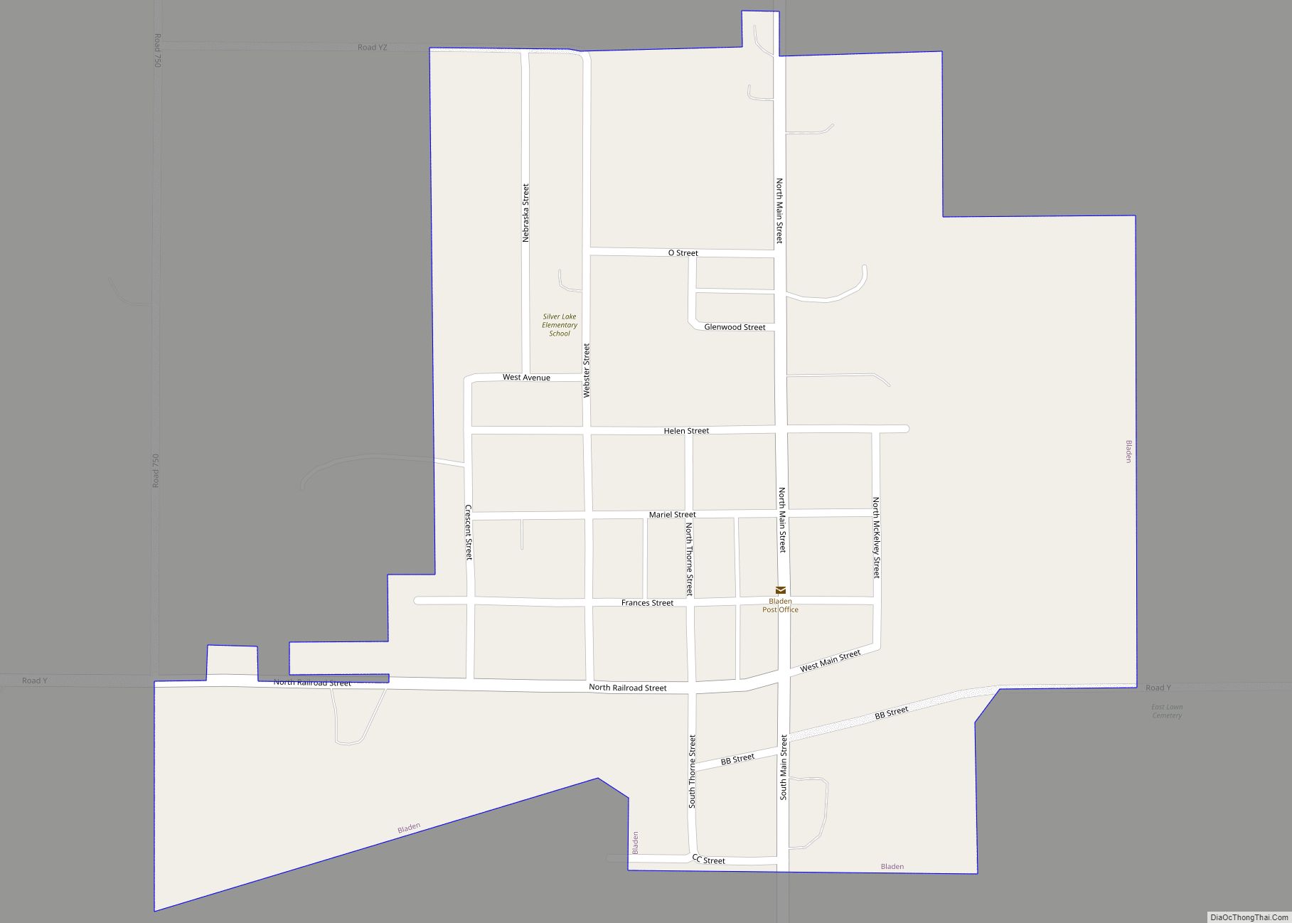
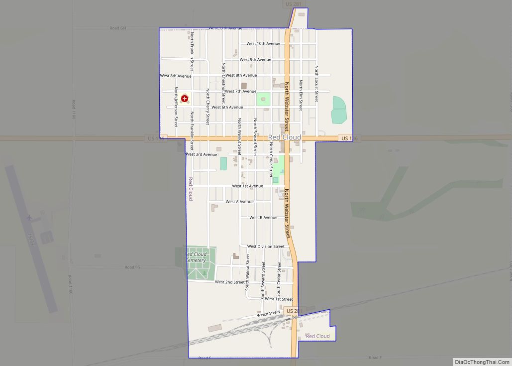
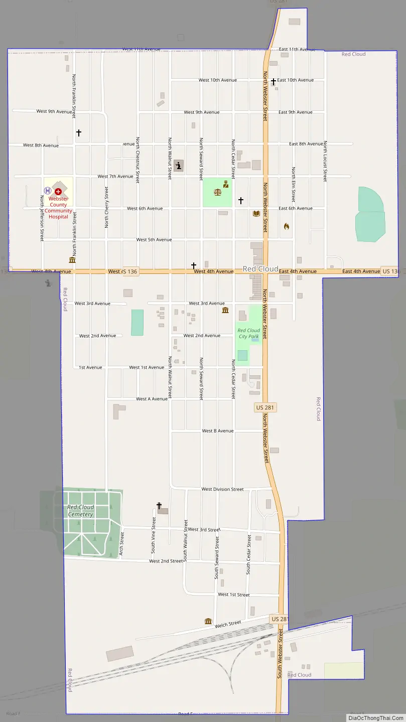
Red Cloud Road Map
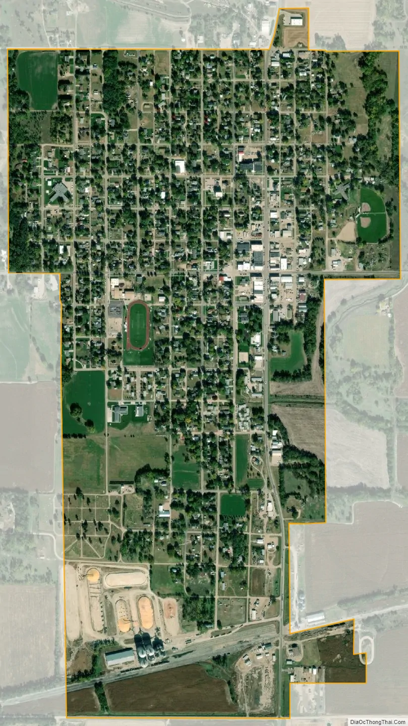
Red Cloud city Satellite Map
Geography
Red Cloud is located at 40°5′18″N 98°31′22″W / 40.08833°N 98.52278°W / 40.08833; -98.52278 (40.088222, -98.522660). According to the United States Census Bureau, the city has a total area of 1.02 square miles (2.64 km), all land.
Climate
See also
Map of Nebraska State and its subdivision:- Adams
- Antelope
- Arthur
- Banner
- Blaine
- Boone
- Box Butte
- Boyd
- Brown
- Buffalo
- Burt
- Butler
- Cass
- Cedar
- Chase
- Cherry
- Cheyenne
- Clay
- Colfax
- Cuming
- Custer
- Dakota
- Dawes
- Dawson
- Deuel
- Dixon
- Dodge
- Douglas
- Dundy
- Fillmore
- Franklin
- Frontier
- Furnas
- Gage
- Garden
- Garfield
- Gosper
- Grant
- Greeley
- Hall
- Hamilton
- Harlan
- Hayes
- Hitchcock
- Holt
- Hooker
- Howard
- Jefferson
- Johnson
- Kearney
- Keith
- Keya Paha
- Kimball
- Knox
- Lancaster
- Lincoln
- Logan
- Loup
- Madison
- McPherson
- Merrick
- Morrill
- Nance
- Nemaha
- Nuckolls
- Otoe
- Pawnee
- Perkins
- Phelps
- Pierce
- Platte
- Polk
- Red Willow
- Richardson
- Rock
- Saline
- Sarpy
- Saunders
- Scotts Bluff
- Seward
- Sheridan
- Sherman
- Sioux
- Stanton
- Thayer
- Thomas
- Thurston
- Valley
- Washington
- Wayne
- Webster
- Wheeler
- York
- Alabama
- Alaska
- Arizona
- Arkansas
- California
- Colorado
- Connecticut
- Delaware
- District of Columbia
- Florida
- Georgia
- Hawaii
- Idaho
- Illinois
- Indiana
- Iowa
- Kansas
- Kentucky
- Louisiana
- Maine
- Maryland
- Massachusetts
- Michigan
- Minnesota
- Mississippi
- Missouri
- Montana
- Nebraska
- Nevada
- New Hampshire
- New Jersey
- New Mexico
- New York
- North Carolina
- North Dakota
- Ohio
- Oklahoma
- Oregon
- Pennsylvania
- Rhode Island
- South Carolina
- South Dakota
- Tennessee
- Texas
- Utah
- Vermont
- Virginia
- Washington
- West Virginia
- Wisconsin
- Wyoming