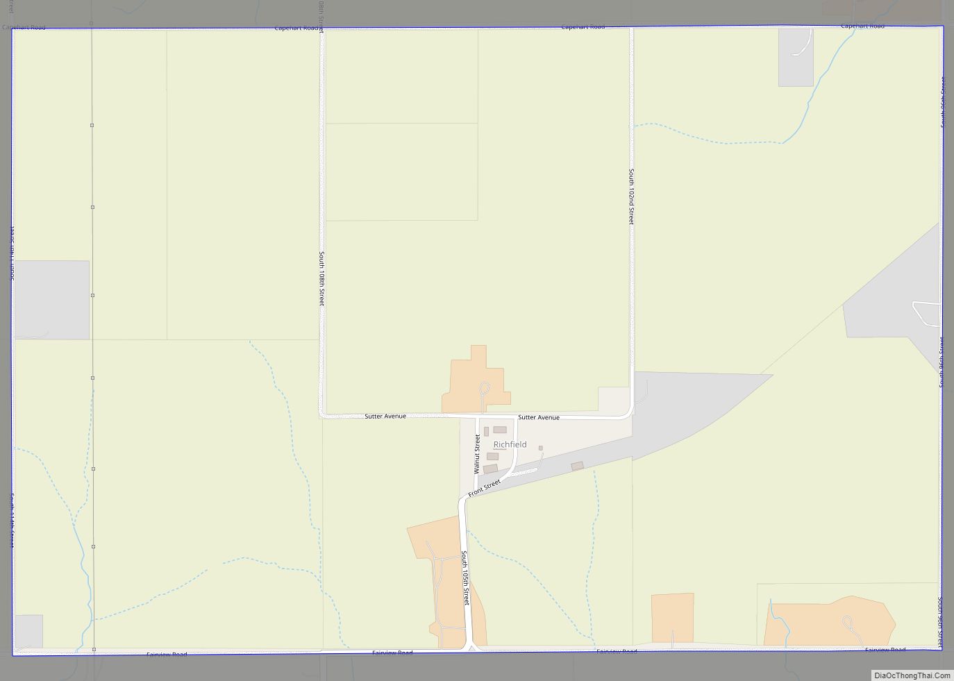
Richfield is a census-designated place (CDP) in Sarpy County, Nebraska, United States. Richfield CDP overview: Name: Richfield CDP LSAD Code: 57 LSAD Description: CDP (suffix) State: Nebraska County: Sarpy County Elevation: 1,243 ft (379 m) FIPS code: 3141340 GNISfeature ID: 2583895 Online Interactive Map Richfield online map. Source: Basemap layers from Google Map, Open Street Map (OSM), ... Read more
Nebraska Cities and Places
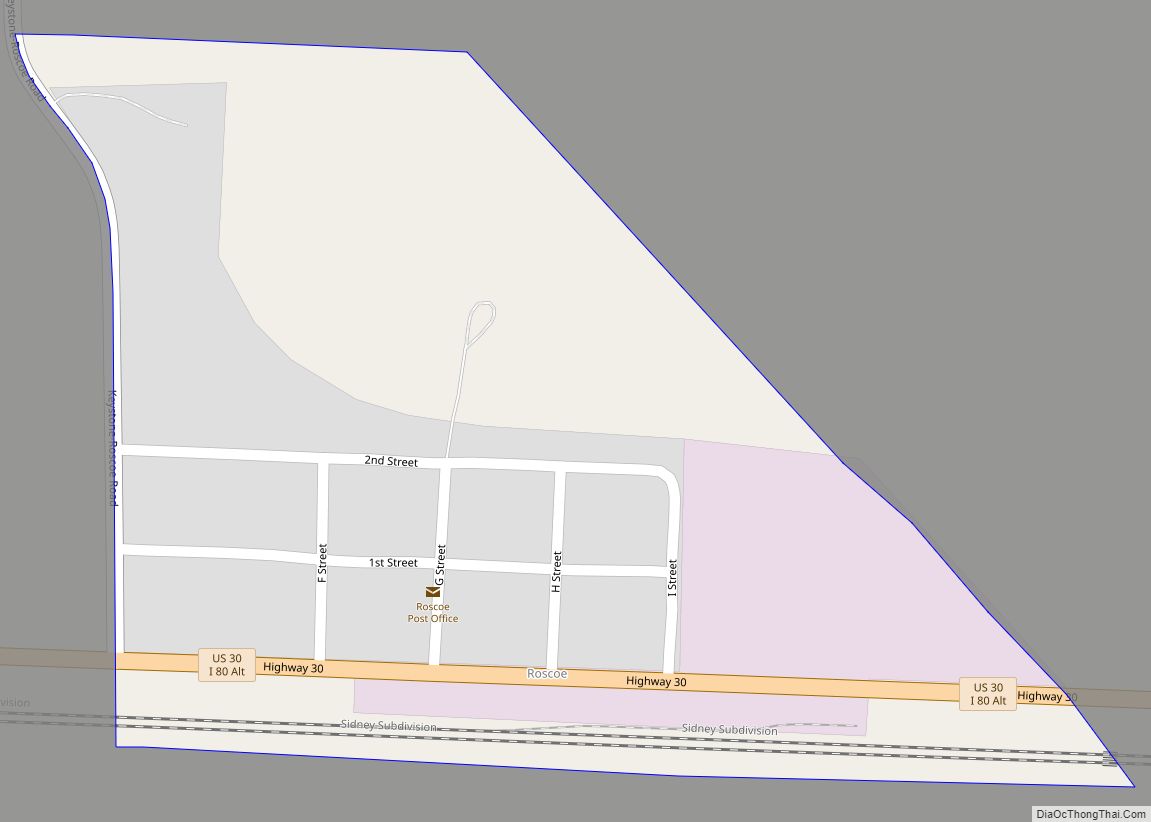
Roscoe is an unincorporated community and census-designated place in Keith County, Nebraska, United States. As of the 2010 census it had a population of 63. Roscoe CDP overview: Name: Roscoe CDP LSAD Code: 57 LSAD Description: CDP (suffix) State: Nebraska County: Keith County Elevation: 3,173 ft (967 m) Total Area: 0.16 sq mi (0.41 km²) Land Area: 0.16 sq mi (0.41 km²) Water ... Read more
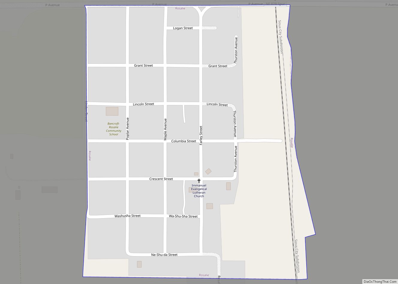
Rosalie is a village in Thurston County, Nebraska, United States, within the boundaries of the Omaha Indian Reservation. The population was 160 at the 2010 census. Rosalie village overview: Name: Rosalie village LSAD Code: 47 LSAD Description: village (suffix) State: Nebraska County: Thurston County Elevation: 1,352 ft (412 m) Total Area: 0.20 sq mi (0.51 km²) Land Area: 0.20 sq mi (0.51 km²) ... Read more
Rogers is a village in Colfax County, Nebraska, United States. The population was 95 at the 2010 census. Rogers village overview: Name: Rogers village LSAD Code: 47 LSAD Description: village (suffix) State: Nebraska County: Colfax County Elevation: 1,309 ft (399 m) Total Area: 0.17 sq mi (0.44 km²) Land Area: 0.17 sq mi (0.44 km²) Water Area: 0.00 sq mi (0.00 km²) Total Population: 82 Population ... Read more
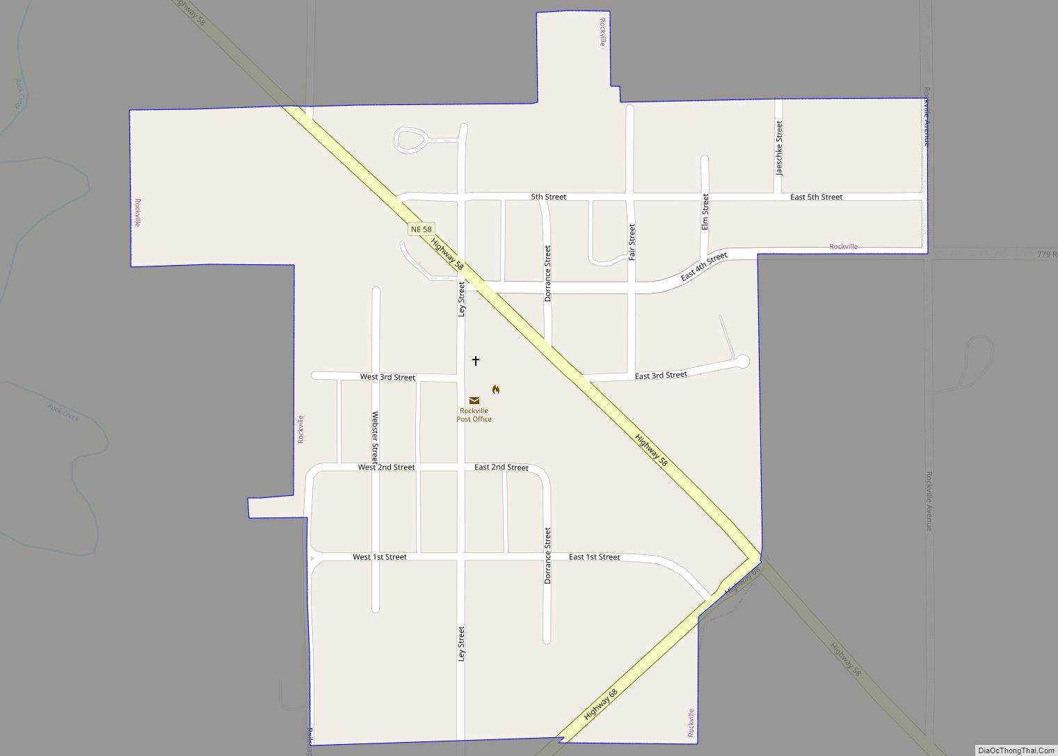
Rockville is a village in Sherman County, Nebraska, United States. The population was 106 at the 2010 census. Rockville village overview: Name: Rockville village LSAD Code: 47 LSAD Description: village (suffix) State: Nebraska County: Sherman County Elevation: 1,978 ft (603 m) Total Area: 0.22 sq mi (0.58 km²) Land Area: 0.22 sq mi (0.58 km²) Water Area: 0.00 sq mi (0.00 km²) Total Population: 89 Population ... Read more
Roca is a village in Lancaster County, Nebraska, United States. It is part of the Lincoln, Nebraska Metropolitan Statistical Area. The population was 201 at the 2020 census. Roca village overview: Name: Roca village LSAD Code: 47 LSAD Description: village (suffix) State: Nebraska County: Lancaster County Elevation: 1,247 ft (380 m) Total Area: 0.14 sq mi (0.36 km²) Land Area: ... Read more
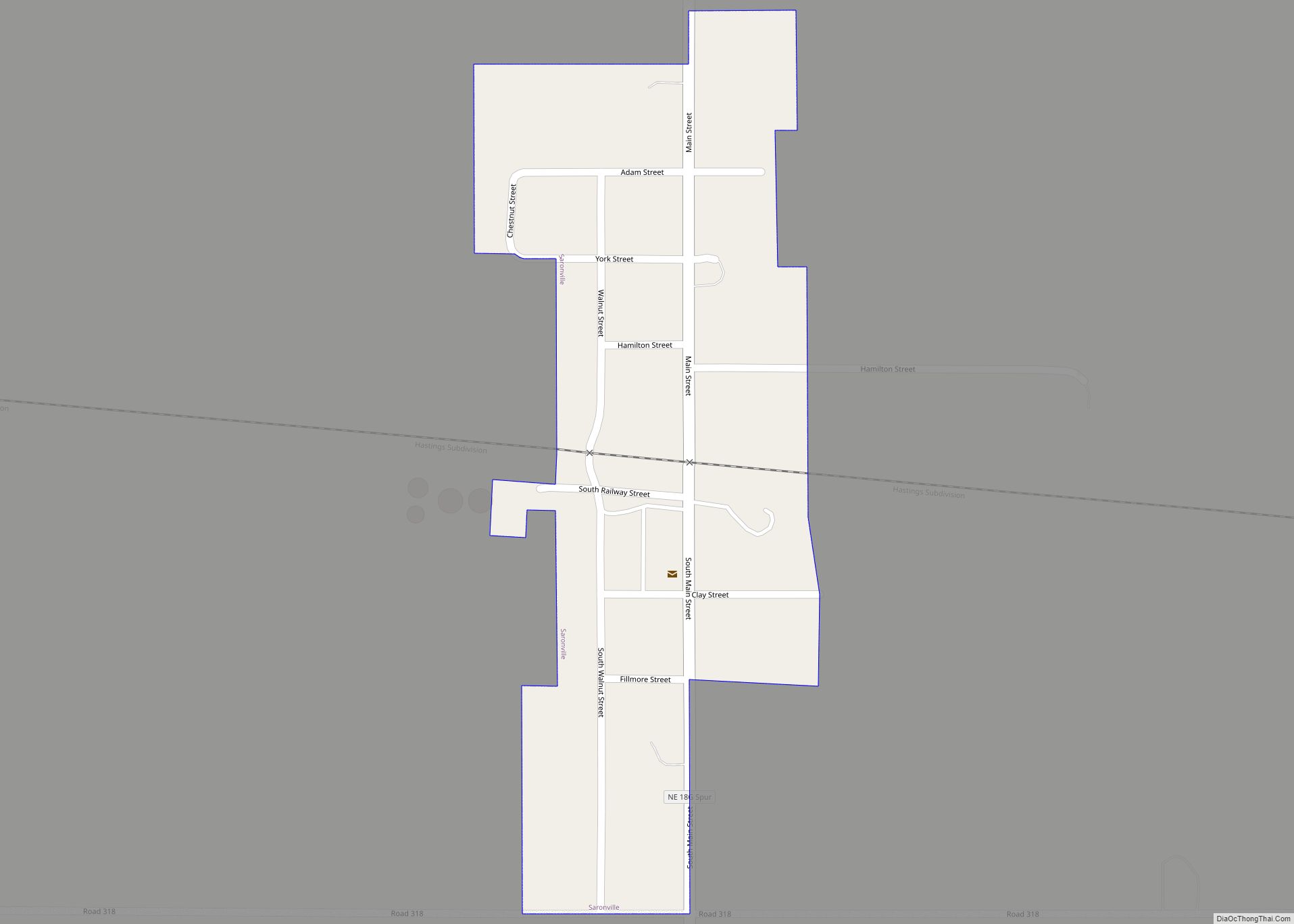
Saronville is a village in Clay County, Nebraska, United States. The population was 35 at the 2020 census. It is part of the Hastings, Nebraska Micropolitan Statistical Area. Saronville village overview: Name: Saronville village LSAD Code: 47 LSAD Description: village (suffix) State: Nebraska County: Clay County Elevation: 1,752 ft (534 m) Total Area: 0.15 sq mi (0.39 km²) Land Area: ... Read more
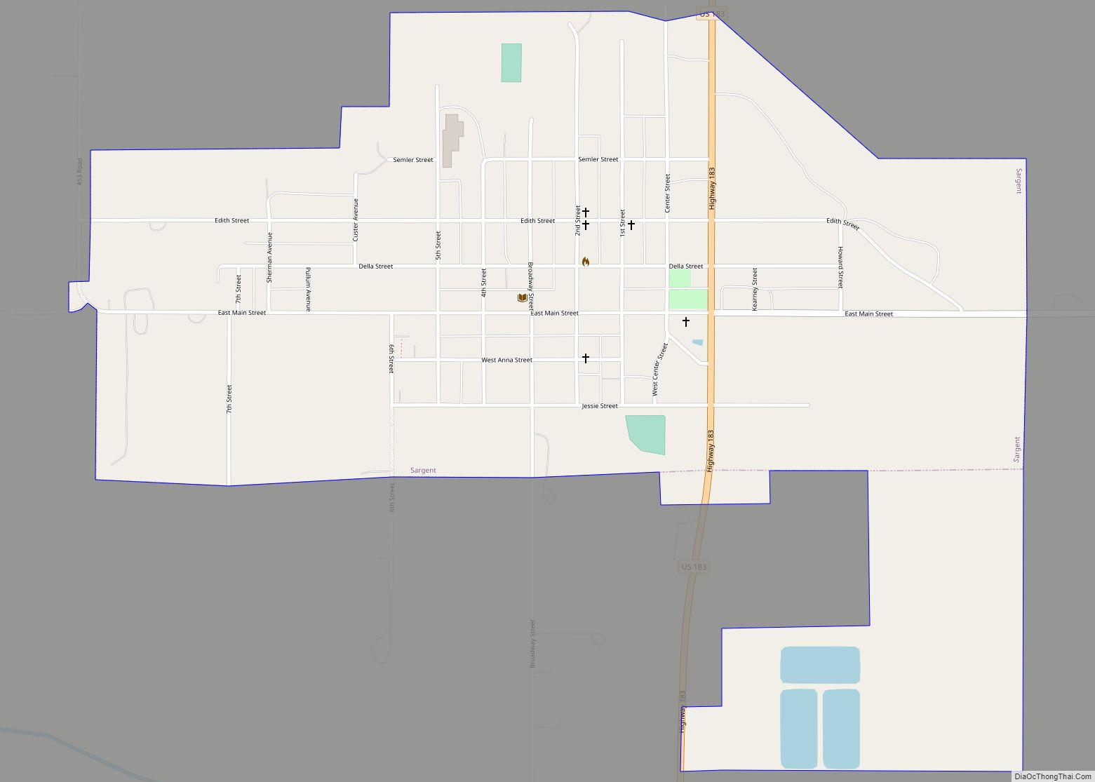
Sargent is a city in Custer County, Nebraska, United States. The population was 525 at the 2010 census. Sargent city overview: Name: Sargent city LSAD Code: 25 LSAD Description: city (suffix) State: Nebraska County: Custer County Elevation: 2,316 ft (706 m) Total Area: 1.09 sq mi (2.81 km²) Land Area: 1.09 sq mi (2.81 km²) Water Area: 0.00 sq mi (0.00 km²) Total Population: 500 Population ... Read more
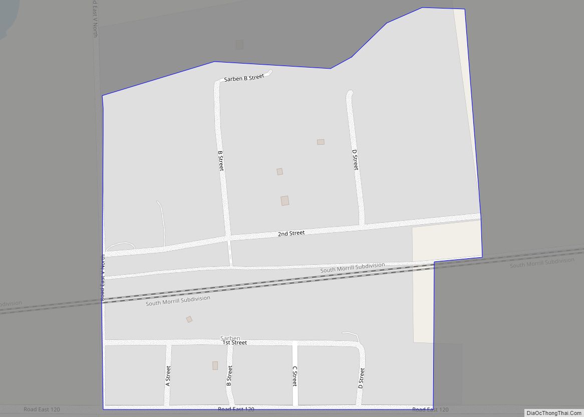
Sarben is an unincorporated community and census-designated place in Keith County, Nebraska, United States. As of the 2010 census it had a population of 31. Sarben CDP overview: Name: Sarben CDP LSAD Code: 57 LSAD Description: CDP (suffix) State: Nebraska County: Keith County Elevation: 3,008 ft (917 m) Total Area: 0.16 sq mi (0.41 km²) Land Area: 0.16 sq mi (0.41 km²) Water ... Read more
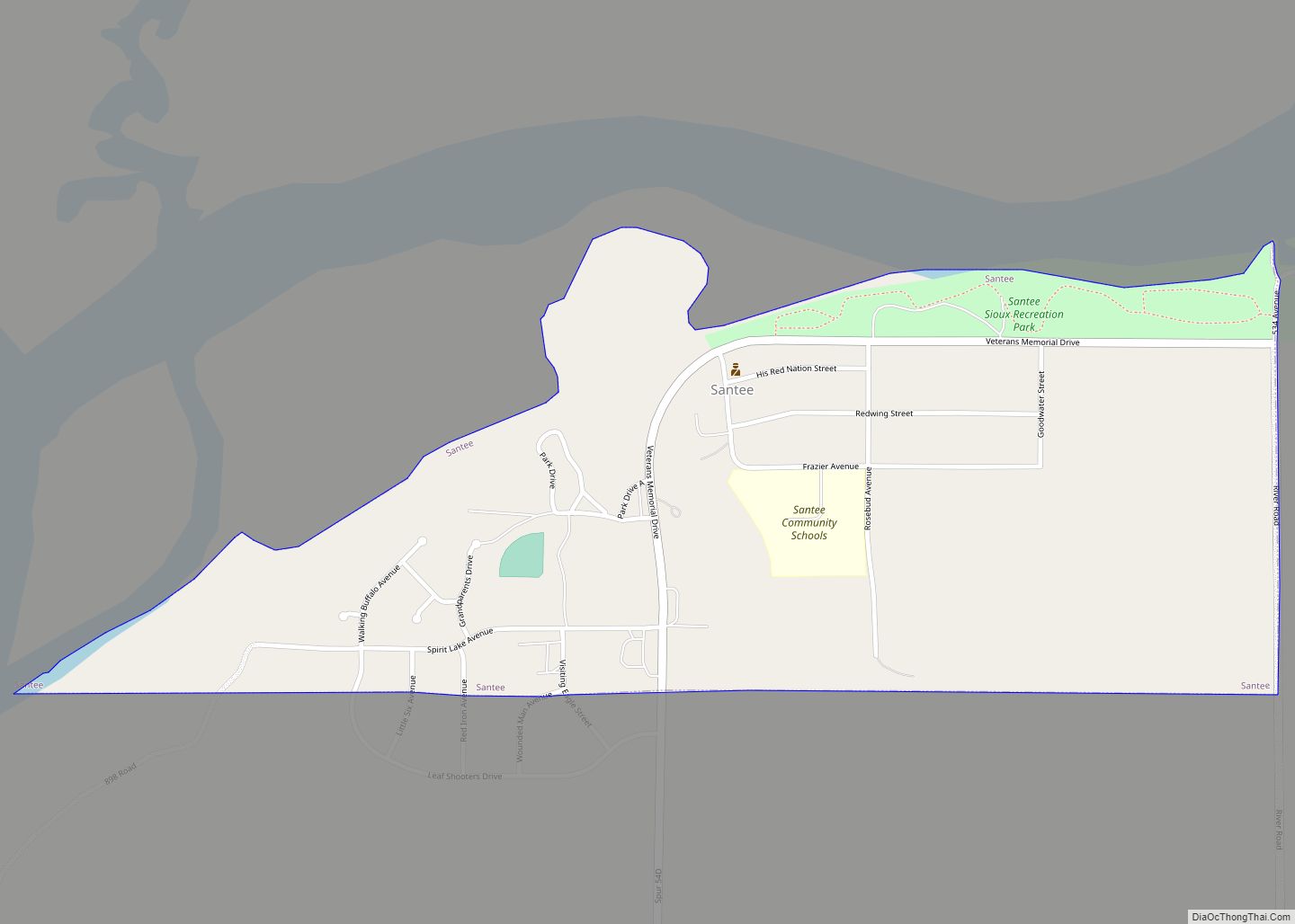
Santee is the principal village of the Santee Sioux Reservation in Knox County, Nebraska, United States. The population was 346 at the 2010 census. Santee village overview: Name: Santee village LSAD Code: 47 LSAD Description: village (suffix) State: Nebraska County: Knox County Elevation: 1,243 ft (379 m) Total Area: 0.56 sq mi (1.46 km²) Land Area: 0.56 sq mi (1.46 km²) Water Area: ... Read more
Salem is a village in Richardson County, Nebraska, United States. The population was 84 at the 2020 census. Salem village overview: Name: Salem village LSAD Code: 47 LSAD Description: village (suffix) State: Nebraska County: Richardson County Elevation: 1,063 ft (324 m) Total Area: 0.62 sq mi (1.61 km²) Land Area: 0.62 sq mi (1.61 km²) Water Area: 0.00 sq mi (0.00 km²) Total Population: 84 Population ... Read more
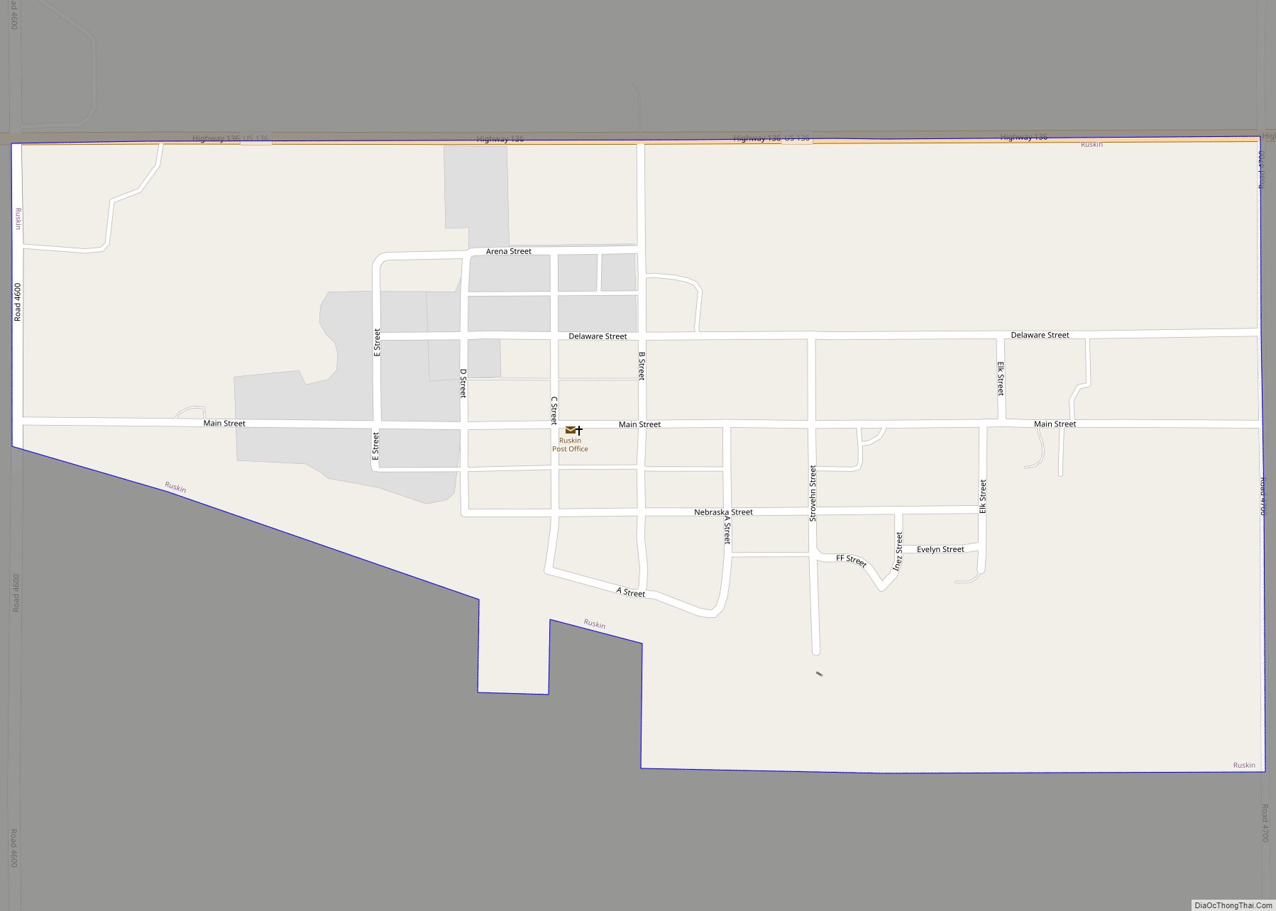
Ruskin is a village in Nuckolls County, Nebraska, United States. The population was 123 at the 2010 census. Ruskin village overview: Name: Ruskin village LSAD Code: 47 LSAD Description: village (suffix) State: Nebraska County: Nuckolls County Elevation: 1,680 ft (512 m) Total Area: 0.42 sq mi (1.08 km²) Land Area: 0.42 sq mi (1.08 km²) Water Area: 0.00 sq mi (0.00 km²) Total Population: 105 Population ... Read more
