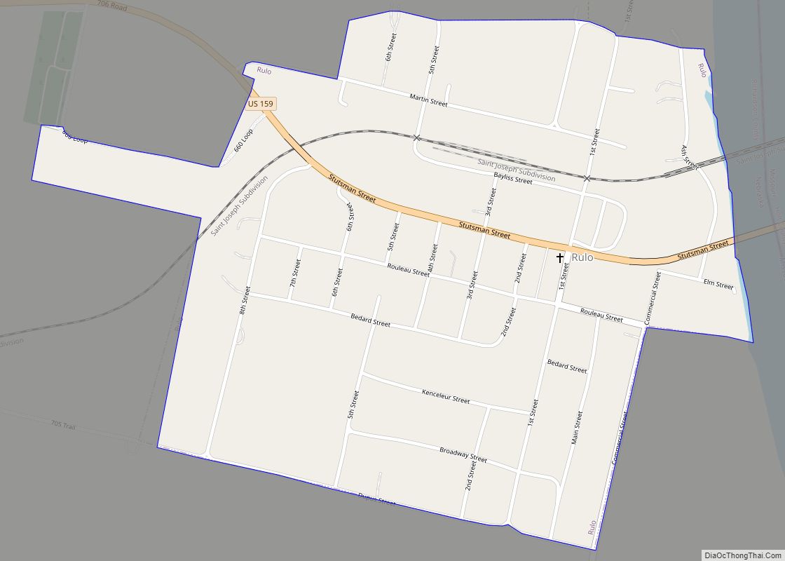
Rulo is a village in Richardson County, Nebraska, United States. The population was 144 at the 2020 census.
| Name: | Rulo village |
|---|---|
| LSAD Code: | 47 |
| LSAD Description: | village (suffix) |
| State: | Nebraska |
| County: | Richardson County |
| Elevation: | 971 ft (296 m) |
| Total Area: | 0.63 sq mi (1.63 km²) |
| Land Area: | 0.63 sq mi (1.63 km²) |
| Water Area: | 0.00 sq mi (0.00 km²) |
| Total Population: | 144 |
| Population Density: | 230/sq mi (88/km²) |
| ZIP code: | 68431 |
| Area code: | 402 |
| FIPS code: | 3142670 |
| GNISfeature ID: | 2399140 |
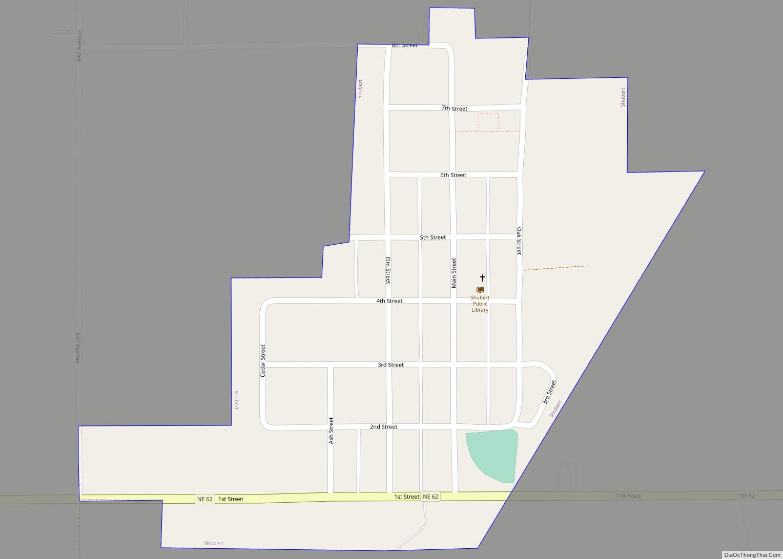
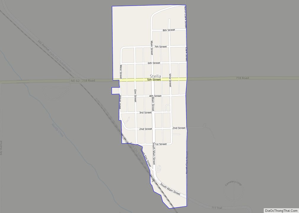
Online Interactive Map
Click on ![]() to view map in "full screen" mode.
to view map in "full screen" mode.
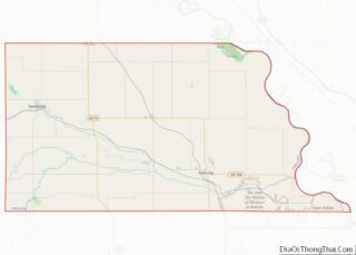
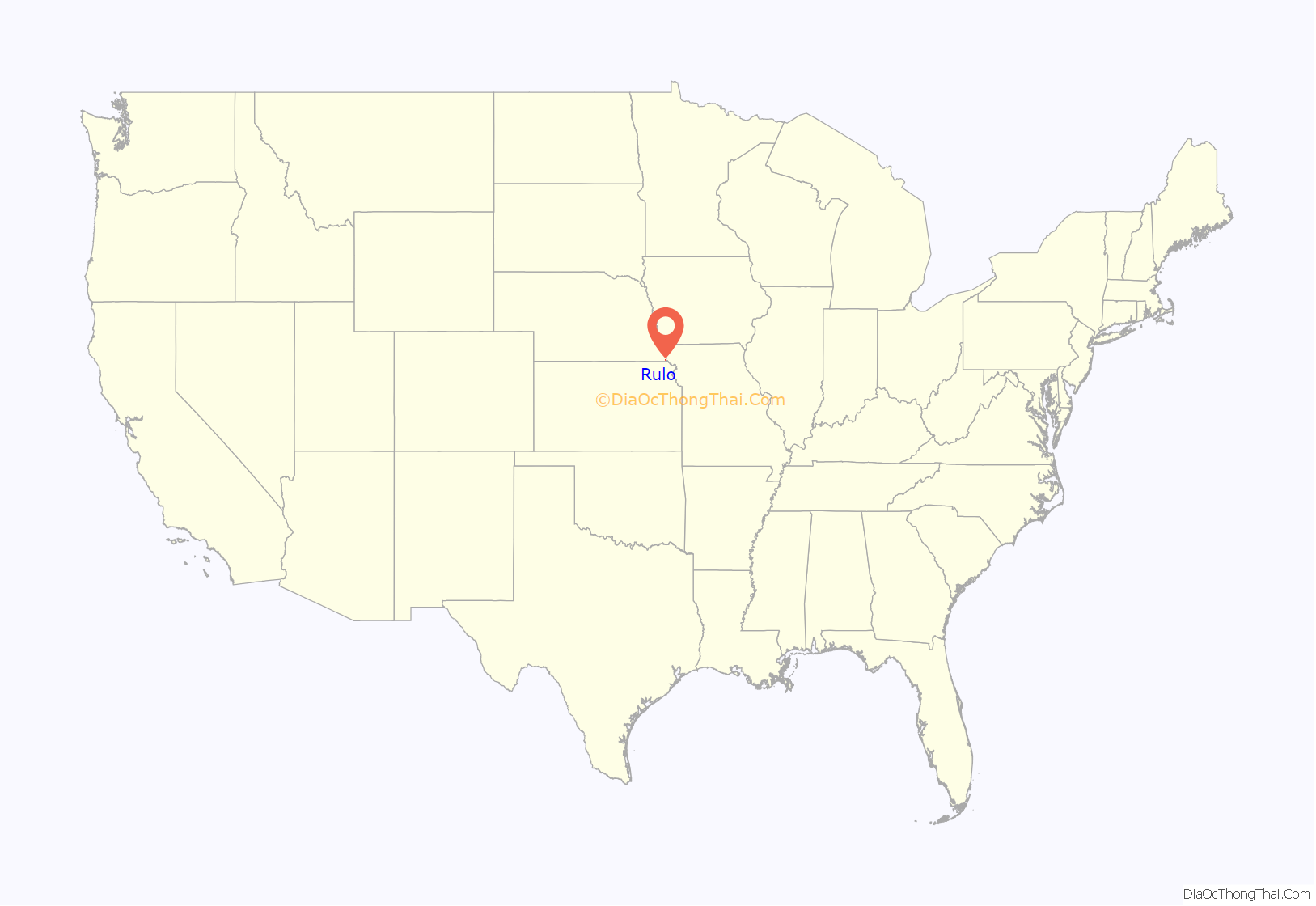
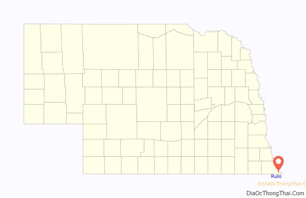
Rulo location map. Where is Rulo village?
History
Rulo was laid out in 1857. It was named for Charlie Rouleau, the original owner of the town site.
In 1933, the foundation for the Rulo Bridge, a toll bridge across the Missouri River, was laid. The owner of the bridge was originally John Mullen from Falls City, together with a group of investors, the “Kansas City Bridge Company”. Construction of the bridge began in 1938, after the Works Progress Administration decided to finance half the cost. The bridge was finished in 1939.
During the early 1980s, a small group of Christian Identity survivalists, led by Michael W. Ryan, began living in a religious cult located on a farm two miles north of Rulo, along the Missouri River. The farm was converted into a compound and the members of the cult would commit thefts throughout the Nebraska-Missouri-Kansas area. The stolen property would be sold in order to buy weapons and survival equipment for the group. Ryan was ultimately convicted and sentenced to death after the Nebraska State Patrol discovered that he was responsible for the torture murders of a 26-year-old cult member and a five-year-old boy. Ryan died of natural causes in prison in 2015.
In 2013, a new bridge carrying U.S. Highway 159 across the Missouri River was opened. The 1939 bridge, deemed too narrow for semi-trailers and farm machinery, was demolished in 2014.
Rulo, 1917
1939 Rulo bridge
Rulo during the 2011 Missouri River floods
2013 Rulo bridge
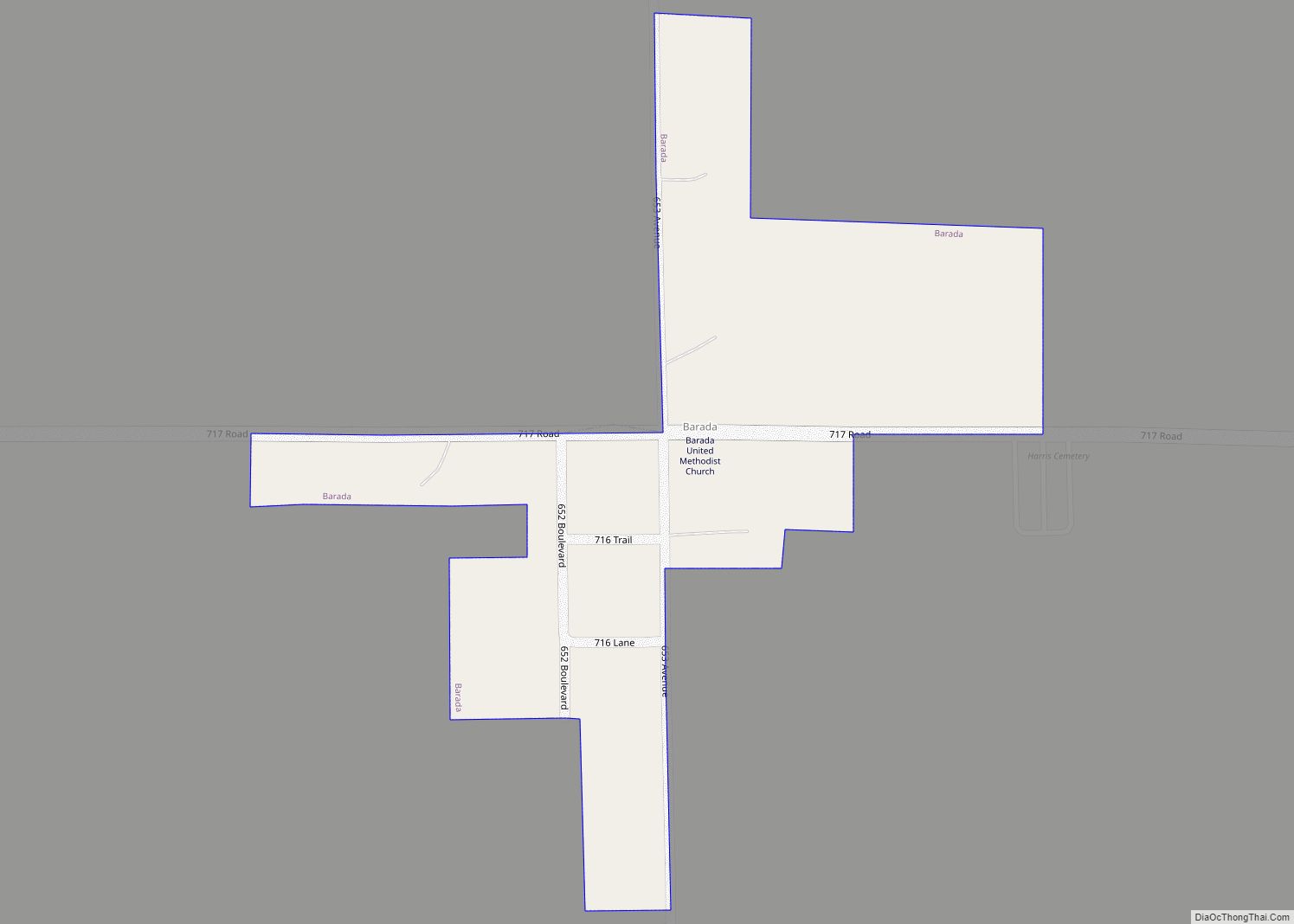
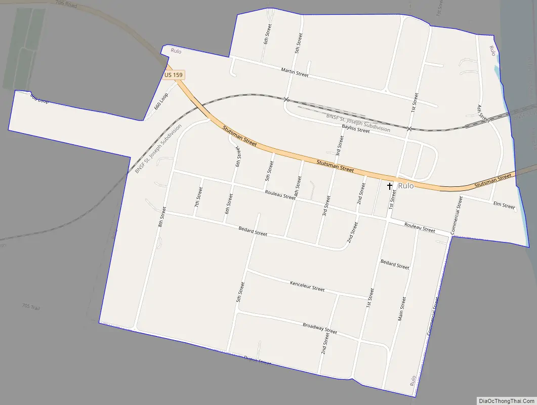
Rulo Road Map
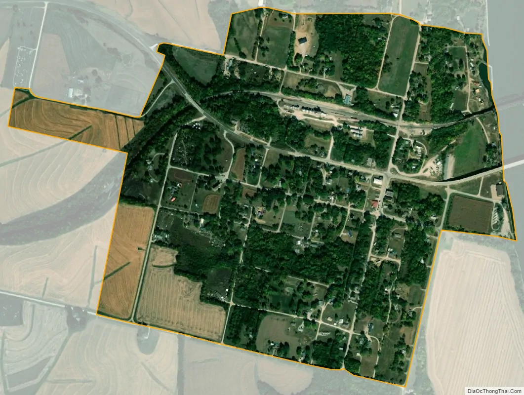
Rulo city Satellite Map
Geography
According to the United States Census Bureau, the village has a total area of 0.63 square miles (1.63 km), all land.
Climate
See also
Map of Nebraska State and its subdivision:- Adams
- Antelope
- Arthur
- Banner
- Blaine
- Boone
- Box Butte
- Boyd
- Brown
- Buffalo
- Burt
- Butler
- Cass
- Cedar
- Chase
- Cherry
- Cheyenne
- Clay
- Colfax
- Cuming
- Custer
- Dakota
- Dawes
- Dawson
- Deuel
- Dixon
- Dodge
- Douglas
- Dundy
- Fillmore
- Franklin
- Frontier
- Furnas
- Gage
- Garden
- Garfield
- Gosper
- Grant
- Greeley
- Hall
- Hamilton
- Harlan
- Hayes
- Hitchcock
- Holt
- Hooker
- Howard
- Jefferson
- Johnson
- Kearney
- Keith
- Keya Paha
- Kimball
- Knox
- Lancaster
- Lincoln
- Logan
- Loup
- Madison
- McPherson
- Merrick
- Morrill
- Nance
- Nemaha
- Nuckolls
- Otoe
- Pawnee
- Perkins
- Phelps
- Pierce
- Platte
- Polk
- Red Willow
- Richardson
- Rock
- Saline
- Sarpy
- Saunders
- Scotts Bluff
- Seward
- Sheridan
- Sherman
- Sioux
- Stanton
- Thayer
- Thomas
- Thurston
- Valley
- Washington
- Wayne
- Webster
- Wheeler
- York
- Alabama
- Alaska
- Arizona
- Arkansas
- California
- Colorado
- Connecticut
- Delaware
- District of Columbia
- Florida
- Georgia
- Hawaii
- Idaho
- Illinois
- Indiana
- Iowa
- Kansas
- Kentucky
- Louisiana
- Maine
- Maryland
- Massachusetts
- Michigan
- Minnesota
- Mississippi
- Missouri
- Montana
- Nebraska
- Nevada
- New Hampshire
- New Jersey
- New Mexico
- New York
- North Carolina
- North Dakota
- Ohio
- Oklahoma
- Oregon
- Pennsylvania
- Rhode Island
- South Carolina
- South Dakota
- Tennessee
- Texas
- Utah
- Vermont
- Virginia
- Washington
- West Virginia
- Wisconsin
- Wyoming