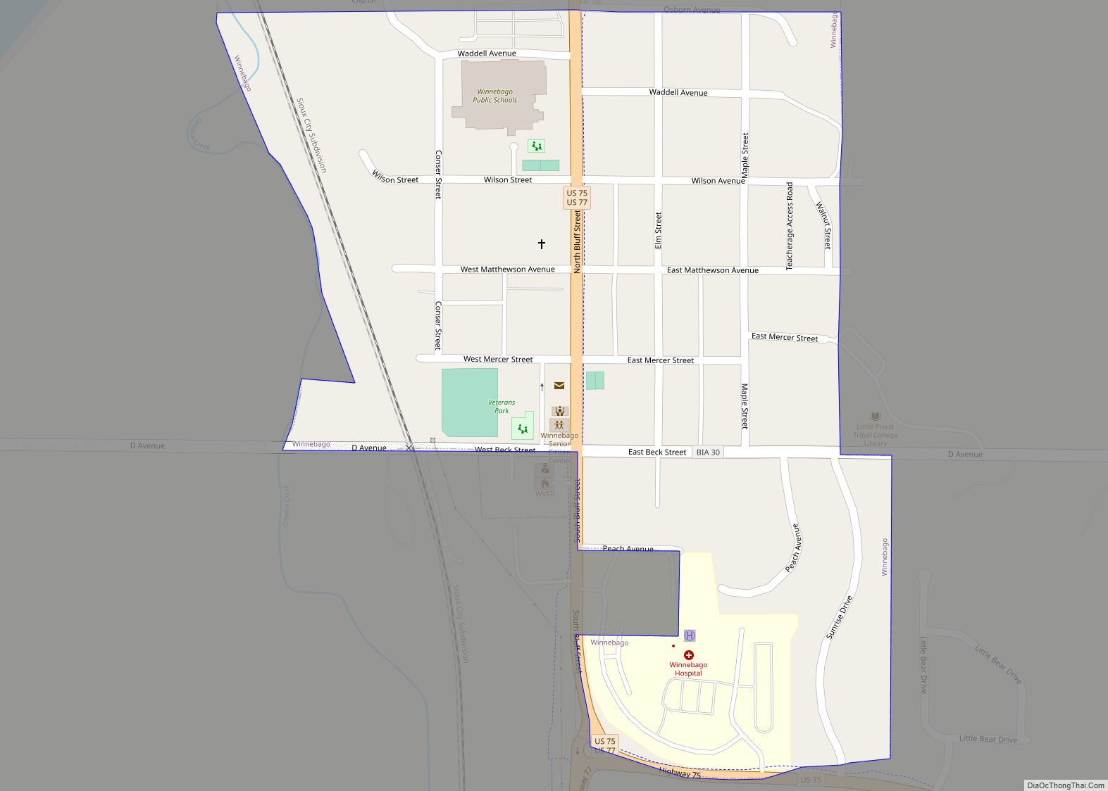
Winnebago is a village in Thurston County, Nebraska, United States. The population was 916 at the 2020 census. Winnebago village overview: Name: Winnebago village LSAD Code: 47 LSAD Description: village (suffix) State: Nebraska County: Thurston County Elevation: 1,165 ft (355 m) Total Area: 0.32 sq mi (0.83 km²) Land Area: 0.32 sq mi (0.83 km²) Water Area: 0.00 sq mi (0.00 km²) Total Population: 916 Population ... Read more
Nebraska Cities and Places
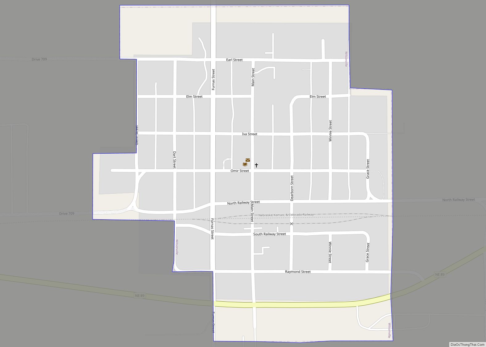
Wilsonville is a village in Furnas County, Nebraska, United States. The population was 93 at the 2010 census. Wilsonville village overview: Name: Wilsonville village LSAD Code: 47 LSAD Description: village (suffix) State: Nebraska County: Furnas County Elevation: 2,303 ft (702 m) Total Area: 0.27 sq mi (0.69 km²) Land Area: 0.27 sq mi (0.69 km²) Water Area: 0.00 sq mi (0.00 km²) Total Population: 75 Population ... Read more
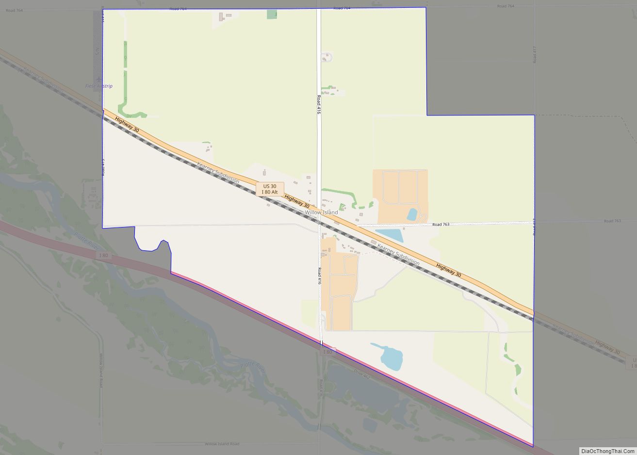
Willow Island (also Willow) is an unincorporated community and census-designated place in western Dawson County, Nebraska, United States. As of the 2010 census it had a population of 26. Willow Island lies near Interstate 80 along U.S. Route 30, between the cities of Cozad and Gothenburg. The city of Lexington, the county seat of Dawson ... Read more
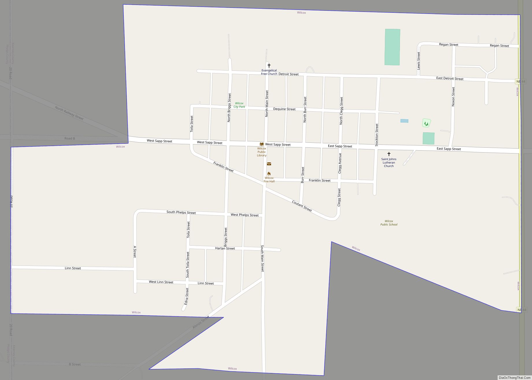
Wilcox is a village in Kearney County, Nebraska, United States. It is part of the Kearney, Nebraska Micropolitan Statistical Area. The population was 331 at the 2020 census. Wilcox village overview: Name: Wilcox village LSAD Code: 47 LSAD Description: village (suffix) State: Nebraska County: Kearney County Elevation: 2,241 ft (683 m) Total Area: 0.50 sq mi (1.29 km²) Land Area: ... Read more
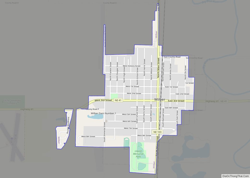
Wilber is a city in Saline County, Nebraska, United States. The population was 1,855 at the 2010 census. It is the county seat of Saline County. Wilber is the official “Czech Capital of the USA” and hosts an annual Czech festival in August. Wilber’s school is the Wilber-Clatonia High School. Wilber city overview: Name: Wilber ... Read more
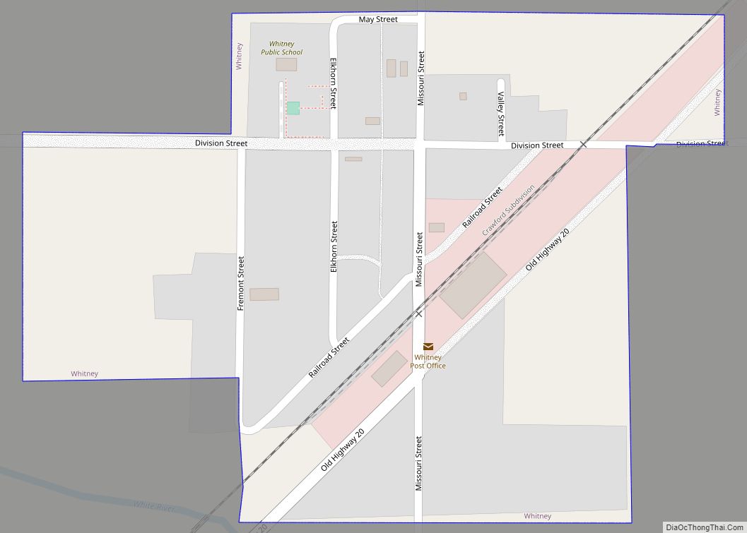
Whitney is a village in Dawes County, Nebraska, United States. The population was 77 at the 2010 census. Whitney village overview: Name: Whitney village LSAD Code: 47 LSAD Description: village (suffix) State: Nebraska County: Dawes County Elevation: 3,412 ft (1,040 m) Total Area: 0.16 sq mi (0.41 km²) Land Area: 0.16 sq mi (0.41 km²) Water Area: 0.00 sq mi (0.00 km²) Total Population: 62 Population ... Read more
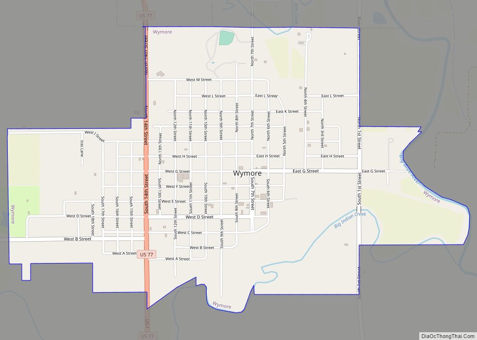
Wymore is a city in Gage County, Nebraska, United States. The population was 1,377 at the 2020 census. Wymore city overview: Name: Wymore city LSAD Code: 25 LSAD Description: city (suffix) State: Nebraska County: Gage County Elevation: 1,240 ft (380 m) Total Area: 1.90 sq mi (4.93 km²) Land Area: 1.87 sq mi (4.85 km²) Water Area: 0.03 sq mi (0.08 km²) Total Population: 1,377 Population ... Read more
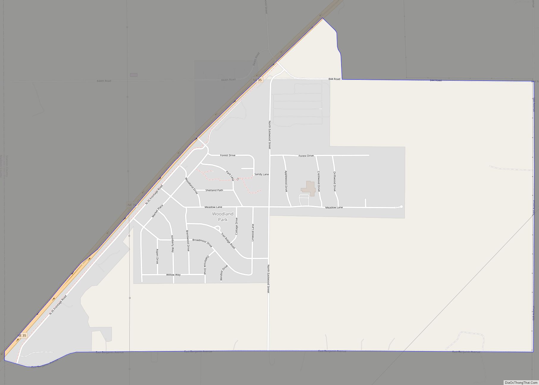
Woodland Park is an unincorporated community and census-designated place in Stanton County, Nebraska, United States. Its population was 1,866 as of the 2010 census. Nebraska Highway 35 passes through the community. Woodland Park CDP overview: Name: Woodland Park CDP LSAD Code: 57 LSAD Description: CDP (suffix) State: Nebraska County: Stanton County Elevation: 1,693 ft (516 m) Total ... Read more
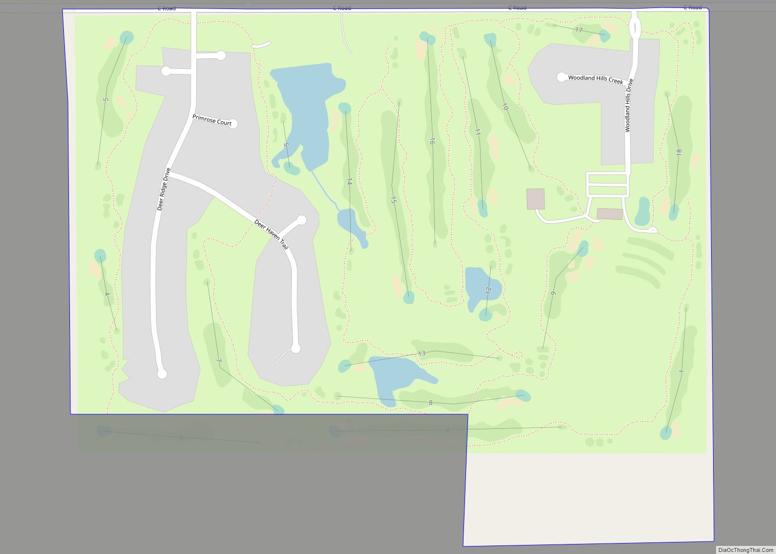
Woodland Hills is an unincorporated community and census-designated place in Otoe County, Nebraska, United States. Its population was 232 as of the 2020 census. Woodland Hills CDP overview: Name: Woodland Hills CDP LSAD Code: 57 LSAD Description: CDP (suffix) State: Nebraska County: Otoe County Elevation: 1,263 ft (385 m) Total Area: 0.37 sq mi (0.95 km²) Land Area: 0.36 sq mi (0.93 km²) ... Read more
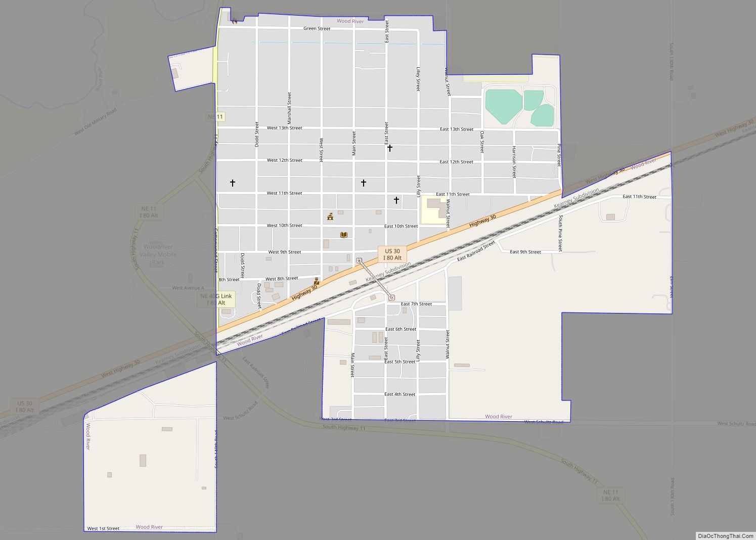
Wood River is a city in southwestern Hall County, Nebraska, United States. The population was 1,172 at the 2020 census. It is part of the Grand Island, Nebraska Metropolitan Statistical Area. Wood River city overview: Name: Wood River city LSAD Code: 25 LSAD Description: city (suffix) State: Nebraska County: Hall County Elevation: 1,965 ft (599 m) Total ... Read more
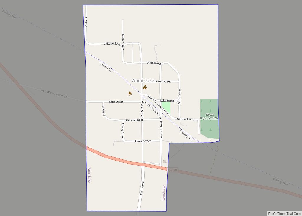
Wood Lake is a village in Cherry County, Nebraska, United States. The population was 63 at the 2010 census. Wood Lake village overview: Name: Wood Lake village LSAD Code: 47 LSAD Description: village (suffix) State: Nebraska County: Cherry County Elevation: 2,694 ft (821 m) Total Area: 0.33 sq mi (0.85 km²) Land Area: 0.32 sq mi (0.82 km²) Water Area: 0.01 sq mi (0.03 km²) Total ... Read more
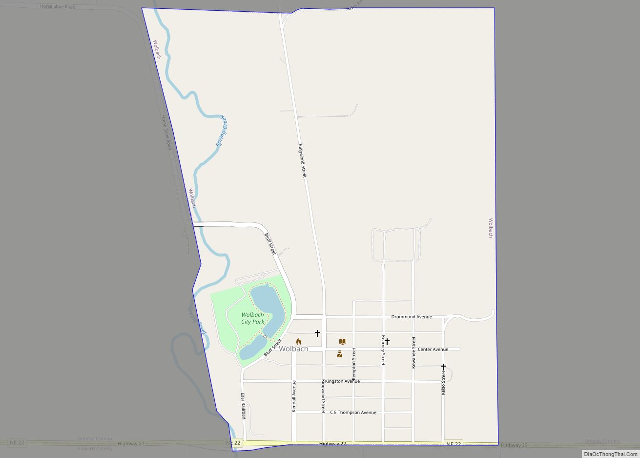
Wolbach is a village in Greeley county, Nebraska. The population was 283 at the time of the 2010 census. Wolbach village overview: Name: Wolbach village LSAD Code: 47 LSAD Description: village (suffix) State: Nebraska County: Greeley County Elevation: 1,867 ft (569 m) Total Area: 0.70 sq mi (1.81 km²) Land Area: 0.69 sq mi (1.78 km²) Water Area: 0.01 sq mi (0.03 km²) Total Population: 224 ... Read more
