Wymore is a city in Gage County, Nebraska, United States. The population was 1,377 at the 2020 census.
| Name: | Wymore city |
|---|---|
| LSAD Code: | 25 |
| LSAD Description: | city (suffix) |
| State: | Nebraska |
| County: | Gage County |
| Elevation: | 1,240 ft (380 m) |
| Total Area: | 1.90 sq mi (4.93 km²) |
| Land Area: | 1.87 sq mi (4.85 km²) |
| Water Area: | 0.03 sq mi (0.08 km²) |
| Total Population: | 1,377 |
| Population Density: | 735.58/sq mi (284.02/km²) |
| ZIP code: | 68466 |
| Area code: | 402 |
| FIPS code: | 3153835 |
| GNISfeature ID: | 2397386 |
| Website: | wymorebluesprings.com |
Online Interactive Map
Click on ![]() to view map in "full screen" mode.
to view map in "full screen" mode.
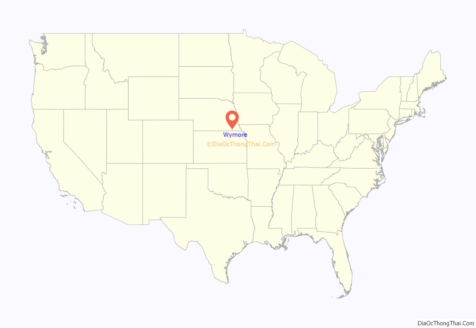
Wymore location map. Where is Wymore city?
History
Wymore was platted in 1881 as a railroad town, on land donated by Sam Wymore. The “Welsh Capitol of the Great Plains,” Wymore became home to generations of immigrants from Wales, who continued their culture in day-to-day life, founding a Welsh-language church, school and cemetery, as well as preserving the Welsh traditions of poetry, dance, and intricate music in minor.
In 2000, the Wymore Welsh Heritage Project was founded to preserve the legacy of these early settlers. It has since expanded to include a museum, an archive of genealogical records, and one of the largest Welsh-language libraries in North America.
Wymore is home to Southern High School, a school that serves students from Barneston, Holmesville, Blue Springs, Wymore, and Liberty. The Raiders, competing in NSAA Class C-2, have won 2 state championships, both in wrestling (1974 and 1980). The Wymore Arbor State baseball ballfield has one of the few covered, behind-the-plate bleachers in the state.
Wymore, Nebraska is also the burial place of author and anthropologist R. Clark Mallam, whose book, Indian Creek Memories; A Sense of Place is set in and around the town.
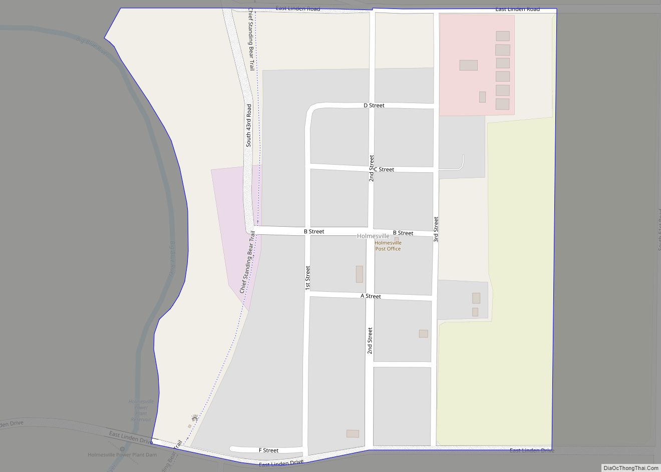
Wymore Road Map
Wymore city Satellite Map
Geography
According to the United States Census Bureau, the city has a total area of 1.90 square miles (4.92 km), of which 1.87 square miles (4.84 km) is land and 0.03 square miles (0.08 km) is water.
See also
Map of Nebraska State and its subdivision:- Adams
- Antelope
- Arthur
- Banner
- Blaine
- Boone
- Box Butte
- Boyd
- Brown
- Buffalo
- Burt
- Butler
- Cass
- Cedar
- Chase
- Cherry
- Cheyenne
- Clay
- Colfax
- Cuming
- Custer
- Dakota
- Dawes
- Dawson
- Deuel
- Dixon
- Dodge
- Douglas
- Dundy
- Fillmore
- Franklin
- Frontier
- Furnas
- Gage
- Garden
- Garfield
- Gosper
- Grant
- Greeley
- Hall
- Hamilton
- Harlan
- Hayes
- Hitchcock
- Holt
- Hooker
- Howard
- Jefferson
- Johnson
- Kearney
- Keith
- Keya Paha
- Kimball
- Knox
- Lancaster
- Lincoln
- Logan
- Loup
- Madison
- McPherson
- Merrick
- Morrill
- Nance
- Nemaha
- Nuckolls
- Otoe
- Pawnee
- Perkins
- Phelps
- Pierce
- Platte
- Polk
- Red Willow
- Richardson
- Rock
- Saline
- Sarpy
- Saunders
- Scotts Bluff
- Seward
- Sheridan
- Sherman
- Sioux
- Stanton
- Thayer
- Thomas
- Thurston
- Valley
- Washington
- Wayne
- Webster
- Wheeler
- York
- Alabama
- Alaska
- Arizona
- Arkansas
- California
- Colorado
- Connecticut
- Delaware
- District of Columbia
- Florida
- Georgia
- Hawaii
- Idaho
- Illinois
- Indiana
- Iowa
- Kansas
- Kentucky
- Louisiana
- Maine
- Maryland
- Massachusetts
- Michigan
- Minnesota
- Mississippi
- Missouri
- Montana
- Nebraska
- Nevada
- New Hampshire
- New Jersey
- New Mexico
- New York
- North Carolina
- North Dakota
- Ohio
- Oklahoma
- Oregon
- Pennsylvania
- Rhode Island
- South Carolina
- South Dakota
- Tennessee
- Texas
- Utah
- Vermont
- Virginia
- Washington
- West Virginia
- Wisconsin
- Wyoming
