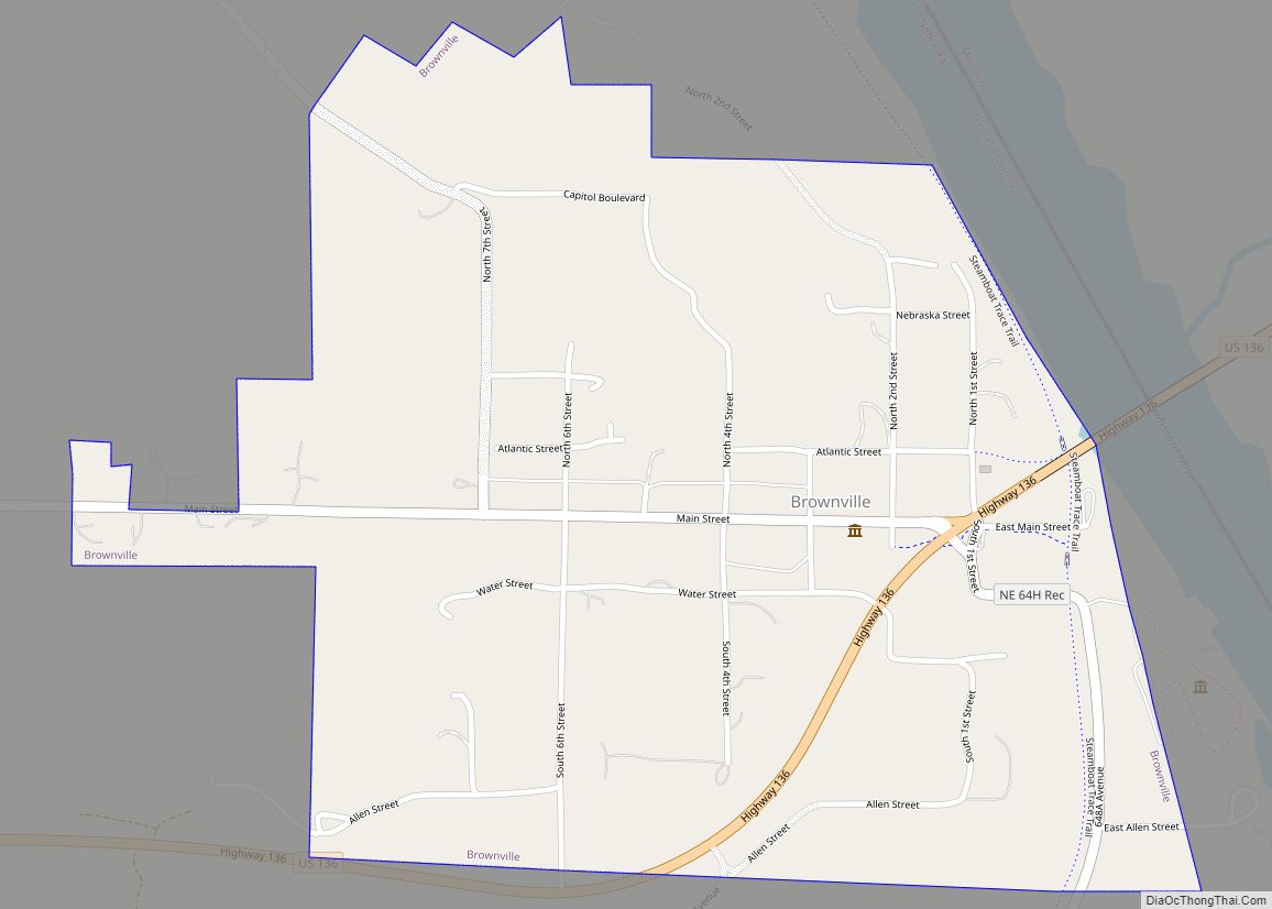
Brownville is a village in Nemaha County, Nebraska, United States. The population was 142 at the 2020 census. Brownville village overview: Name: Brownville village LSAD Code: 47 LSAD Description: village (suffix) State: Nebraska County: Nemaha County Elevation: 958 ft (292 m) Total Area: 0.65 sq mi (1.69 km²) Land Area: 0.65 sq mi (1.69 km²) Water Area: 0.00 sq mi (0.00 km²) Total Population: 142 Population ... Read more
Nebraska Cities and Places
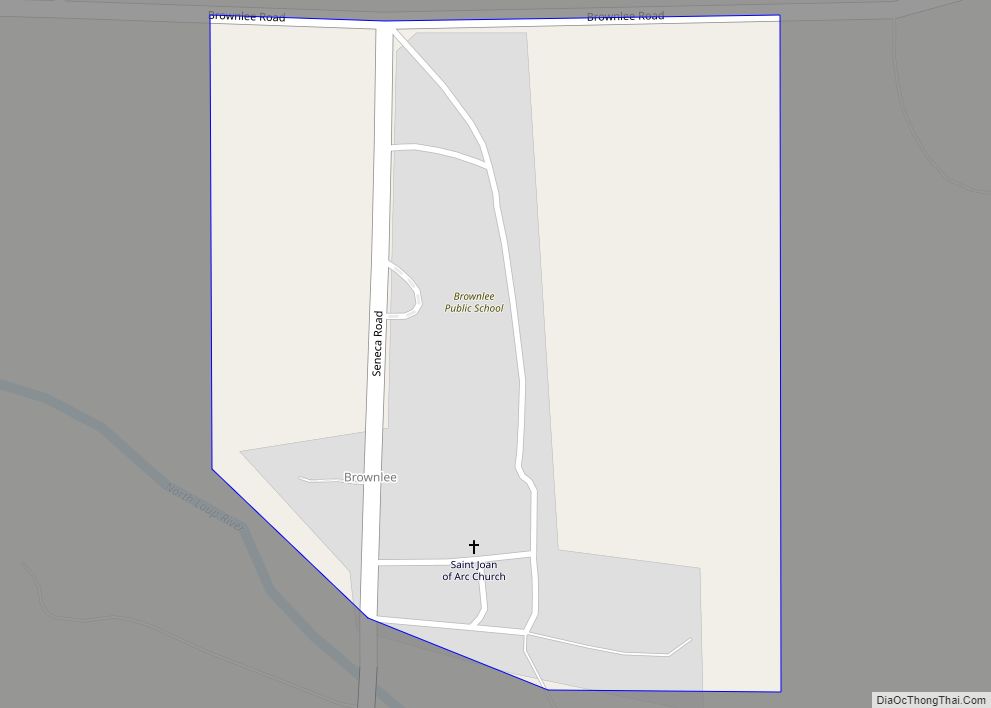
Brownlee is an unincorporated community and census-designated place in Cherry County, Nebraska, United States. As of the 2010 census it had a population of 15. It is located on the North Loup River, 5 miles (8 km) west of U.S. Route 83 in the Sandhills region of the state. Brownlee CDP overview: Name: Brownlee CDP LSAD ... Read more
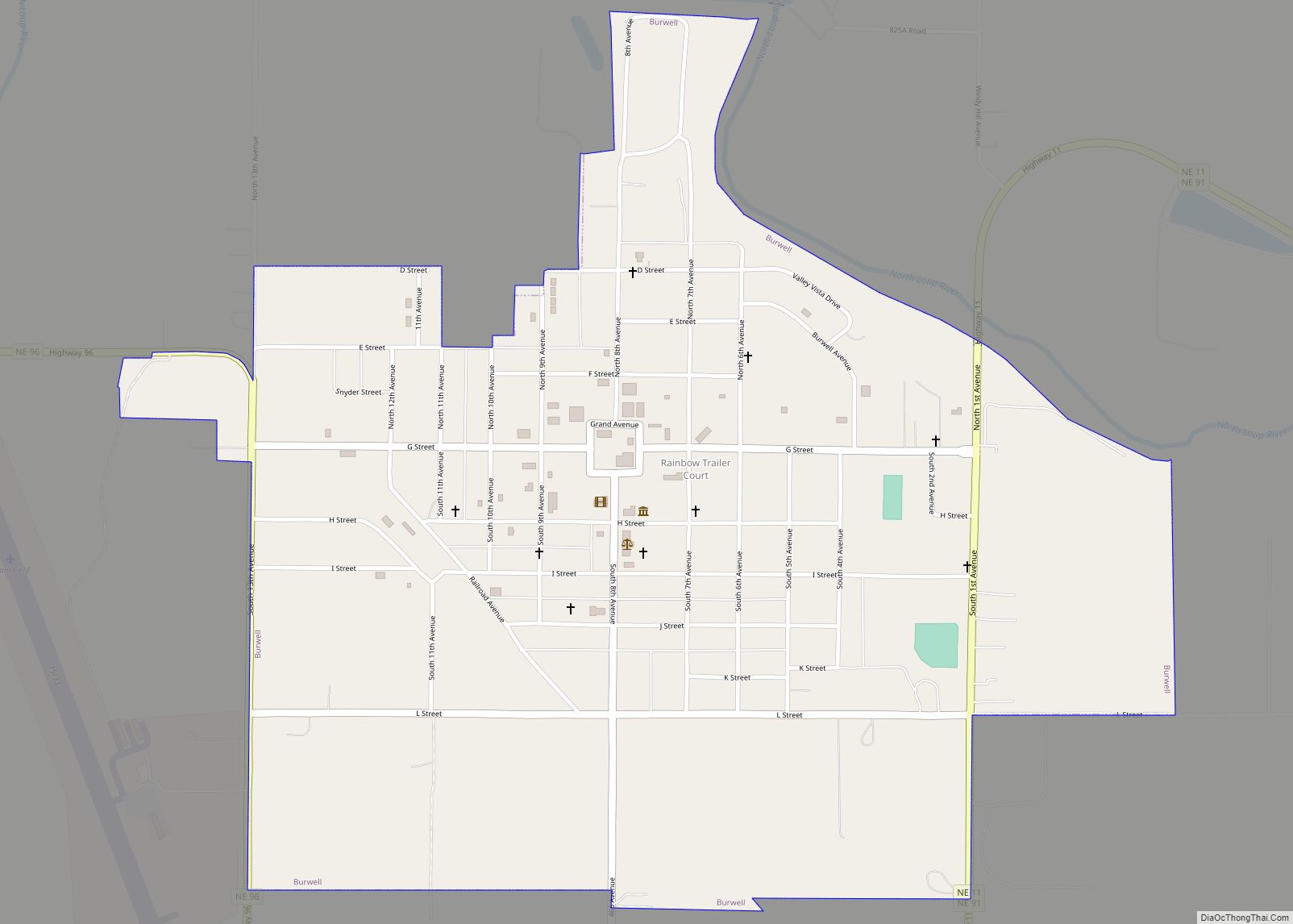
Burwell is a city in Garfield County, Nebraska, United States. The population was 1,210 at the 2010 census. It is the county seat of Garfield County. Burwell city overview: Name: Burwell city LSAD Code: 25 LSAD Description: city (suffix) State: Nebraska County: Garfield County Elevation: 2,175 ft (663 m) Total Area: 1.05 sq mi (2.72 km²) Land Area: 1.05 sq mi (2.72 km²) ... Read more
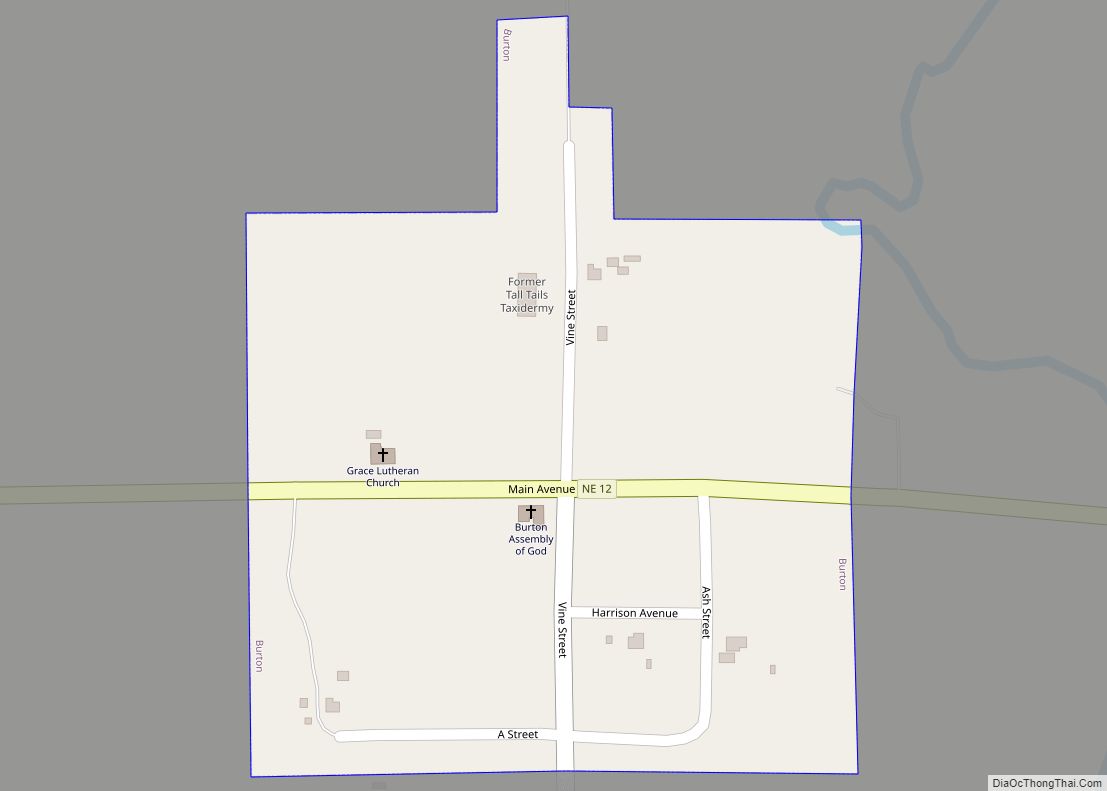
Burton is a tiny village in Keya Paha County, Nebraska, United States. There are two churches there, and two or three houses. The population was 11 at the 2020 census. Burton village overview: Name: Burton village LSAD Code: 47 LSAD Description: village (suffix) State: Nebraska County: Keya Paha County Elevation: 2,142 ft (653 m) Total Area: 0.10 sq mi ... Read more
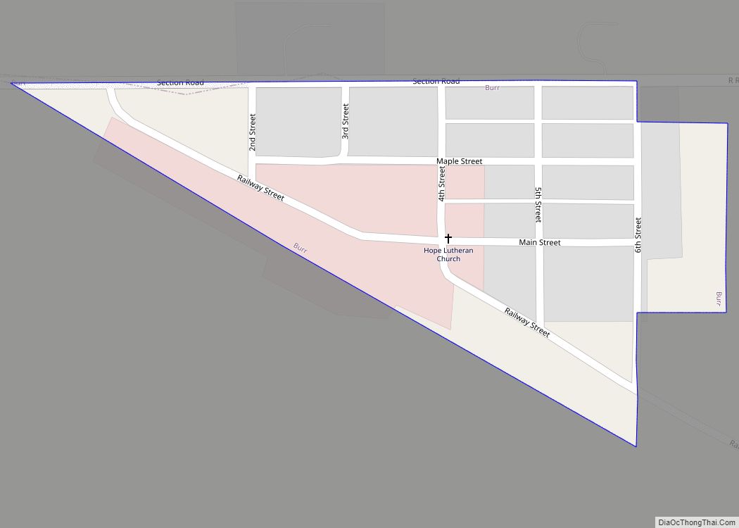
Burr is a village in Otoe County, Nebraska, United States. The population was 52 at the 2020 census. Burr village overview: Name: Burr village LSAD Code: 47 LSAD Description: village (suffix) State: Nebraska County: Otoe County Elevation: 1,132 ft (345 m) Total Area: 0.09 sq mi (0.22 km²) Land Area: 0.09 sq mi (0.22 km²) Water Area: 0.00 sq mi (0.00 km²) Total Population: 52 Population ... Read more
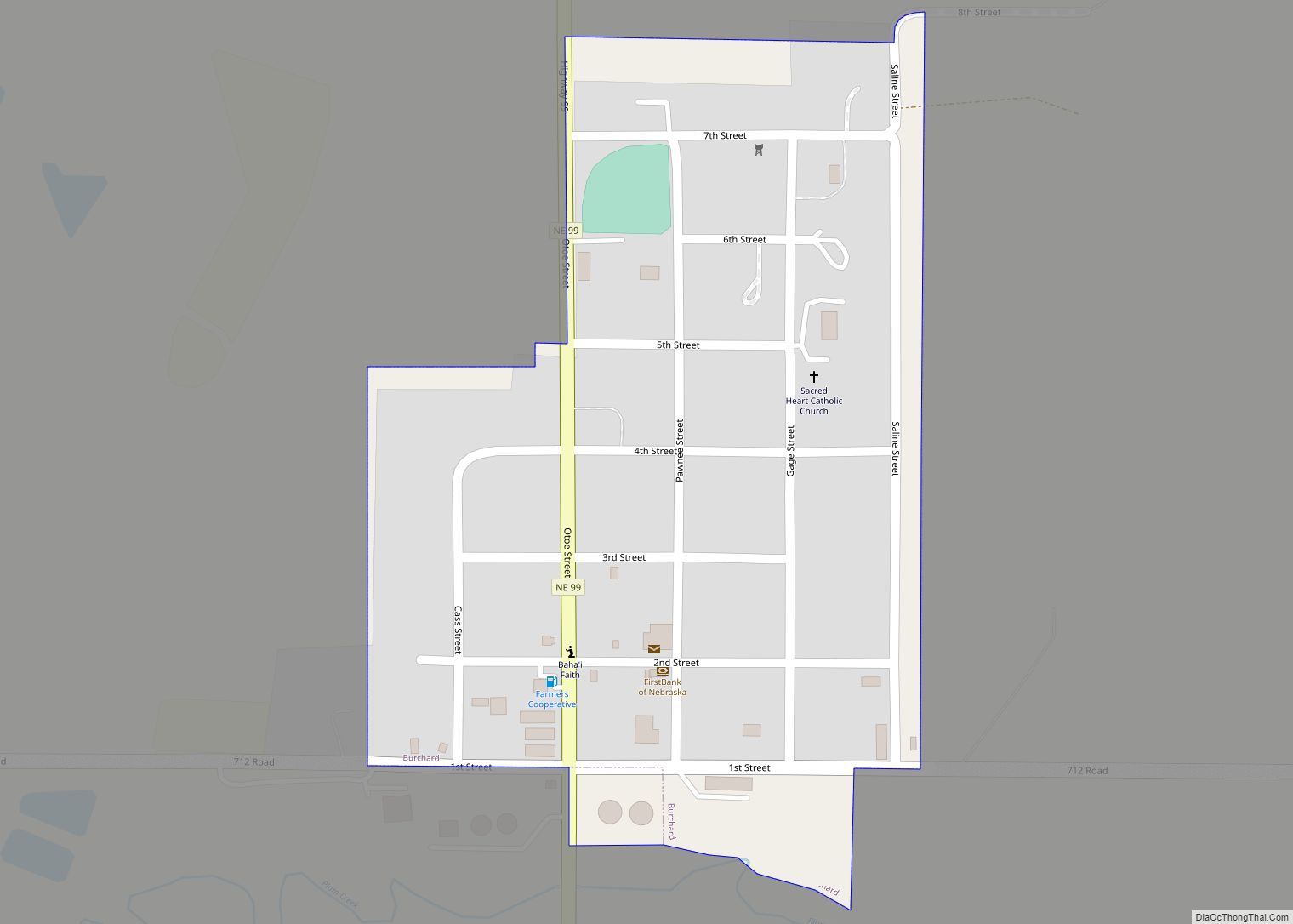
Burchard is a village in Pawnee County, Nebraska, United States. The population was 78 at the 2020 census. The village is approximately 10 miles from the Nebraska–Kansas border and ten miles west of Pawnee City. Burchard village overview: Name: Burchard village LSAD Code: 47 LSAD Description: village (suffix) State: Nebraska County: Pawnee County Elevation: 1,411 ft ... Read more
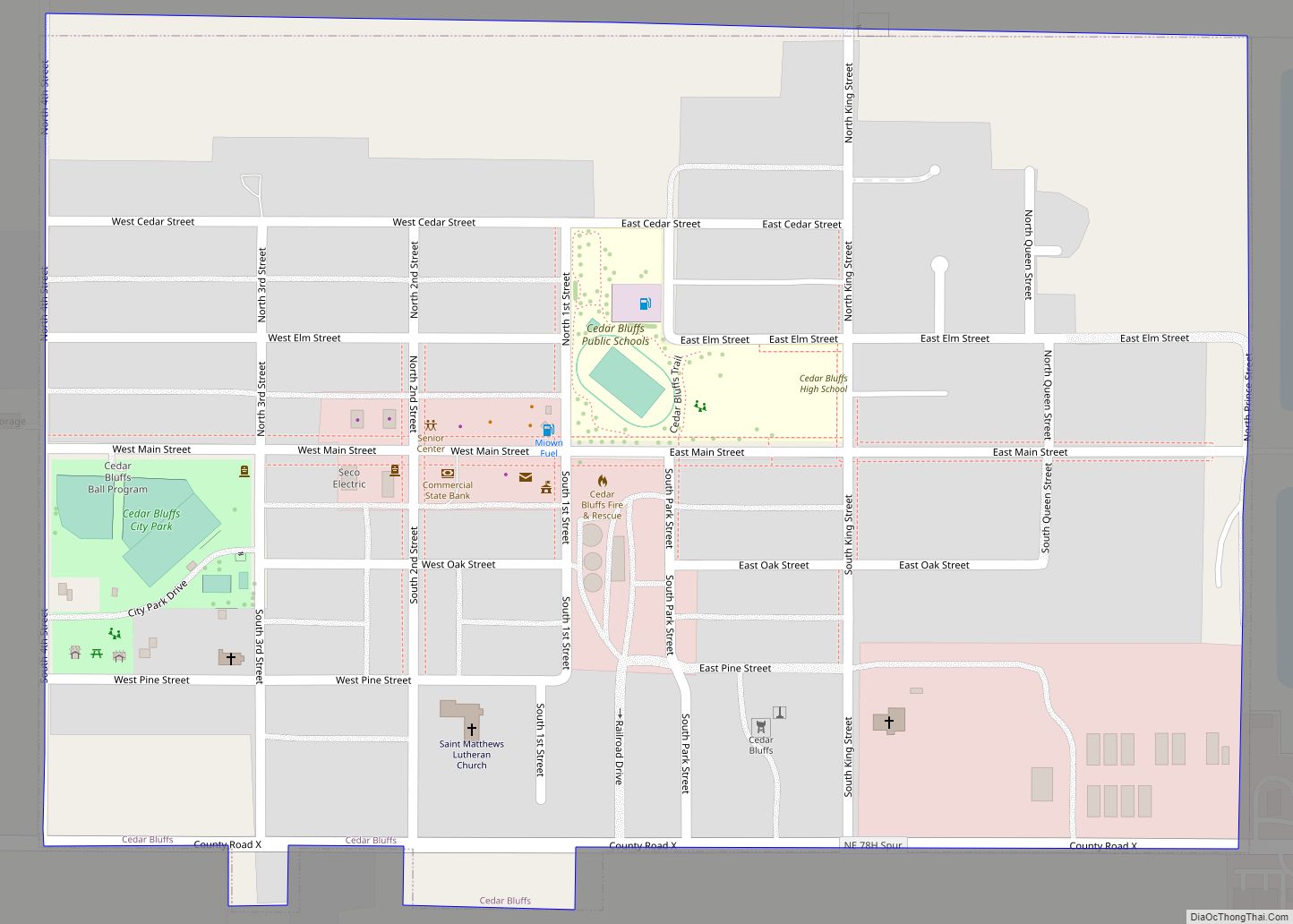
Cedar Bluffs is a village in Saunders County, Nebraska, United States. The population was 615 at the 2020 census. Cedar Bluffs was a point on the Mormon, Oregon, and California Trails. Cedar Bluffs village overview: Name: Cedar Bluffs village LSAD Code: 47 LSAD Description: village (suffix) State: Nebraska County: Saunders County Elevation: 1,296 ft (395 m) Total ... Read more
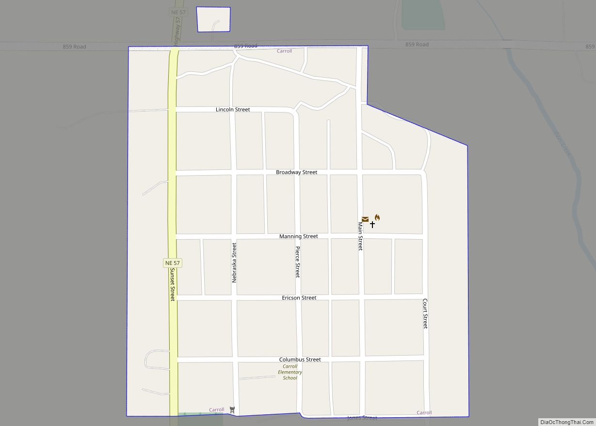
Carroll is a village in Wayne County, Nebraska, United States. The population was 193 at the 2020 census. Carroll village overview: Name: Carroll village LSAD Code: 47 LSAD Description: village (suffix) State: Nebraska County: Wayne County Elevation: 1,558 ft (475 m) Total Area: 0.15 sq mi (0.39 km²) Land Area: 0.15 sq mi (0.39 km²) Water Area: 0.00 sq mi (0.00 km²) Total Population: 193 Population ... Read more
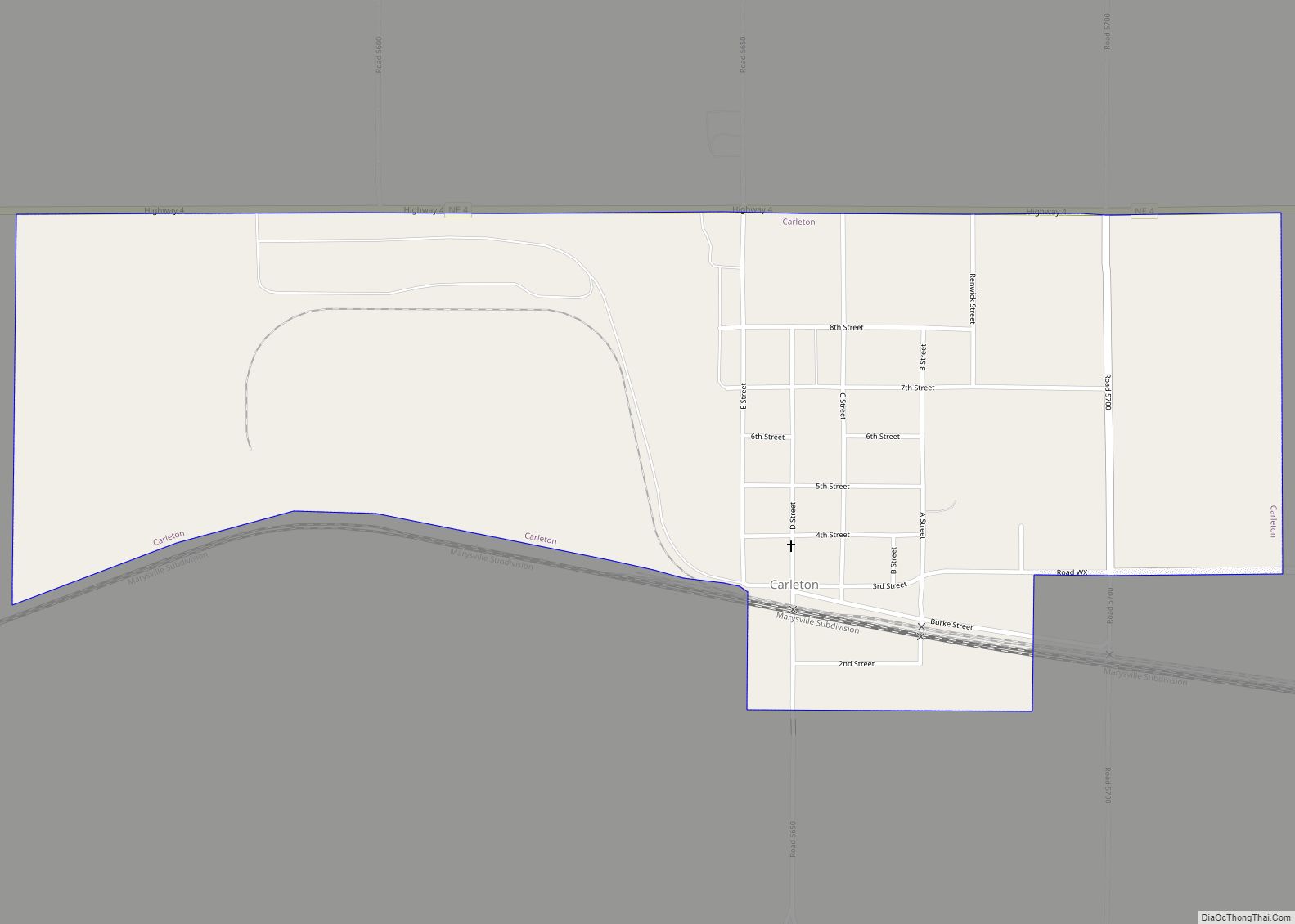
Carleton is a village in Thayer County, Nebraska, United States. The population was 94 at the 2020 census. Carleton village overview: Name: Carleton village LSAD Code: 47 LSAD Description: village (suffix) State: Nebraska County: Thayer County Elevation: 1,565 ft (477 m) Total Area: 0.79 sq mi (2.05 km²) Land Area: 0.79 sq mi (2.05 km²) Water Area: 0.00 sq mi (0.00 km²) Total Population: 94 Population ... Read more
Campbell is a village in Franklin County, Nebraska, United States. The population was 347 at the 2010 census. Campbell village overview: Name: Campbell village LSAD Code: 47 LSAD Description: village (suffix) State: Nebraska County: Franklin County Elevation: 2,011 ft (613 m) Total Area: 0.41 sq mi (1.07 km²) Land Area: 0.41 sq mi (1.07 km²) Water Area: 0.00 sq mi (0.00 km²) Total Population: 272 Population ... Read more
Cambridge is a city in Furnas County, Nebraska, United States. The population was 1,063 at the 2010 census. Cambridge city overview: Name: Cambridge city LSAD Code: 25 LSAD Description: city (suffix) State: Nebraska County: Furnas County Elevation: 2,264 ft (690 m) Total Area: 1.34 sq mi (3.46 km²) Land Area: 1.34 sq mi (3.46 km²) Water Area: 0.00 sq mi (0.00 km²) Total Population: 1,071 Population ... Read more
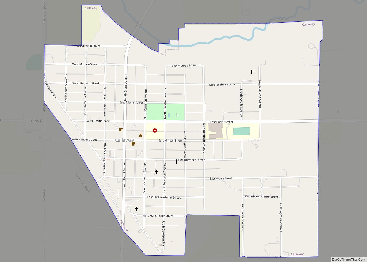
Callaway is a village in Custer County, Nebraska, United States. The population was 539 at the 2010 census. Callaway village overview: Name: Callaway village LSAD Code: 47 LSAD Description: village (suffix) State: Nebraska County: Custer County Elevation: 2,549 ft (777 m) Total Area: 0.70 sq mi (1.81 km²) Land Area: 0.70 sq mi (1.81 km²) Water Area: 0.00 sq mi (0.00 km²) Total Population: 563 Population ... Read more
