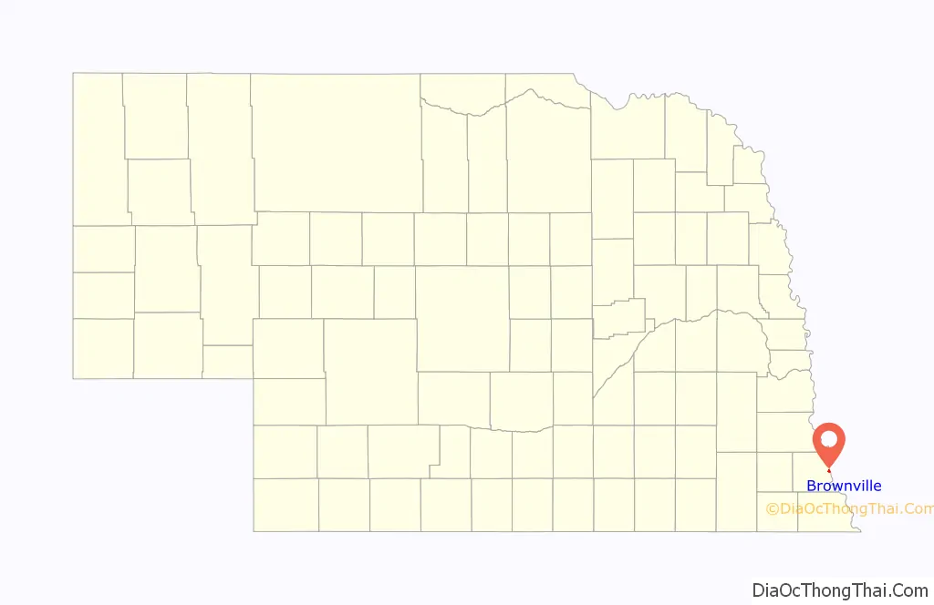
Brownville is a village in Nemaha County, Nebraska, United States. The population was 142 at the 2020 census.
| Name: | Brownville village |
|---|---|
| LSAD Code: | 47 |
| LSAD Description: | village (suffix) |
| State: | Nebraska |
| County: | Nemaha County |
| Elevation: | 958 ft (292 m) |
| Total Area: | 0.65 sq mi (1.69 km²) |
| Land Area: | 0.65 sq mi (1.69 km²) |
| Water Area: | 0.00 sq mi (0.00 km²) |
| Total Population: | 142 |
| Population Density: | 220/sq mi (84/km²) |
| ZIP code: | 68321 |
| Area code: | 402 |
| FIPS code: | 3106750 |
| GNISfeature ID: | 0827698 |
| Website: | www.brownville-ne.com |
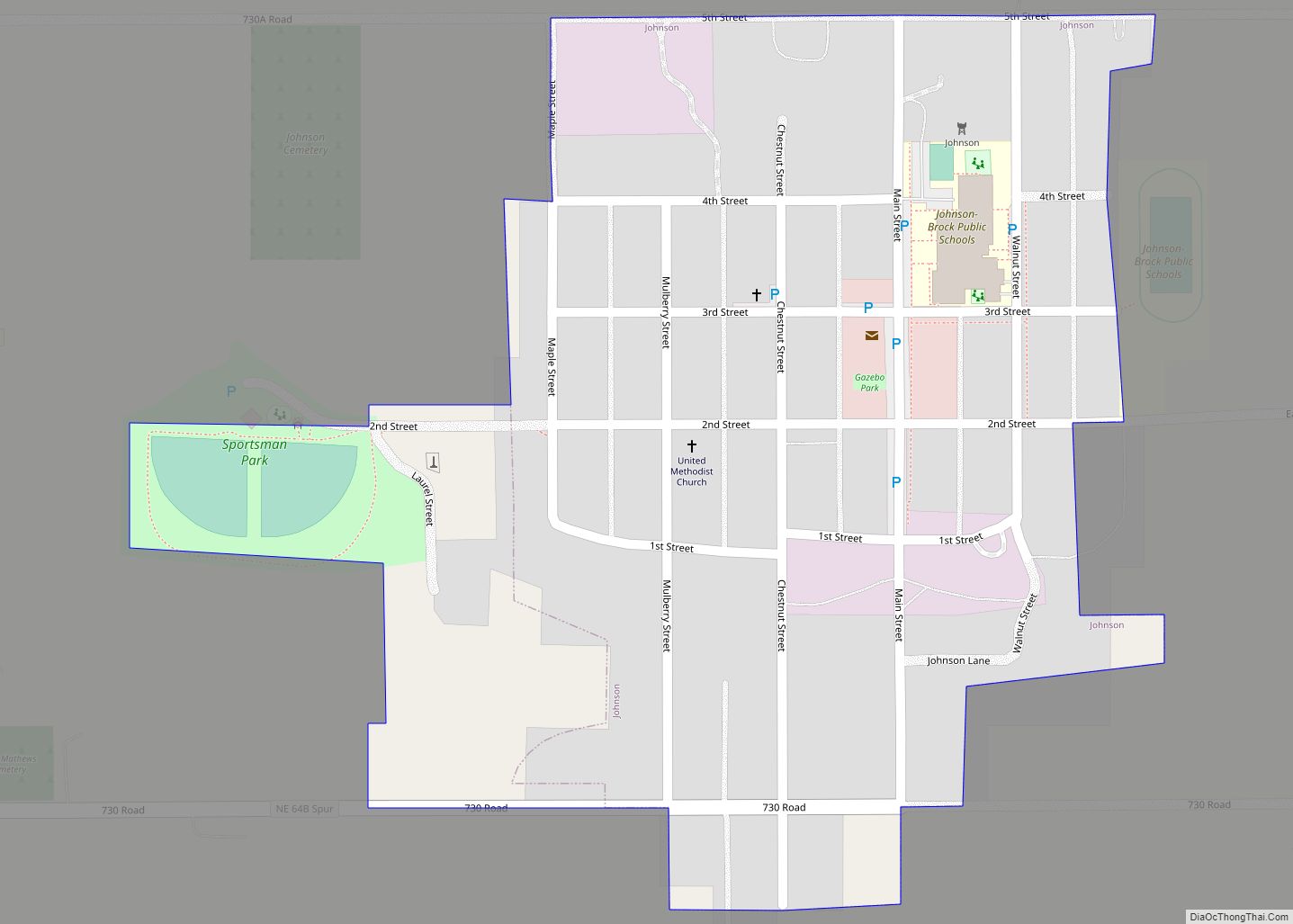
Online Interactive Map
Click on ![]() to view map in "full screen" mode.
to view map in "full screen" mode.
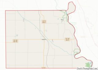
Brownville location map. Where is Brownville village?

History
Established in 1854 and incorporated in 1856, Brownville was the largest town in the Nebraska Territory, with a population of 1,309 by 1880. Bordering slave-holding Missouri, the town became an important port on the Missouri River. Daniel Freeman, the first homesteader to file a claim under the Homestead Act of 1862, staked his claim at a New Year’s Eve party in Brownville.
The rise of the railroad was ultimately Brownville’s undoing. The railroads siphoned traffic away from the Missouri River’s steamboats. Brownville’s attempt to secure a railroad of its own was severely botched and led to immense tax increases to pay the bonds for the failed venture. This drove most of the population away and led to the county seat being transferred to Auburn in 1885. In 1856 Thomas Weston Tipton moved to the town to serve as a minister. He later became a U.S. Senator, and ran an unsuccessful campaign for Governor of Nebraska. Omaha land magnates Herman and Augustus Kountze held large holdings in the early town.
After the American Civil War, David Mercer established a law practice in the town. Mercer later served as a long-time U.S. Representative from Nebraska. The Nebraska State Fair was held in the town in 1870 and 71. That year Eugene Gilmore, the future acting Governor-General of the Philippines, was born in the town.
The Brownville Bridge was built over the Missouri River in 1939. Today it is on the National Register of Historic Places. Owing to its place in Nebraska history, Brownville is primarily a tourist attraction with several old houses opened for tours or converted into museums. Art galleries and wineries in and near Brownville have also helped to make the town an increasingly attractive getaway for residents of the region’s larger cities. Omaha’s River City Star was built in the town in 1967, and was originally named the Belle of Brownville. The Governor Furnas Arboretum was planted in the city in 1992. The arboretum is named in honor of Nebraska’s second governor, Robert W. Furnas, the signer of the first declaration of Arbor Day. The Cooper Nuclear Station is south of the city. In 1995 a mild tornado blew through the town.
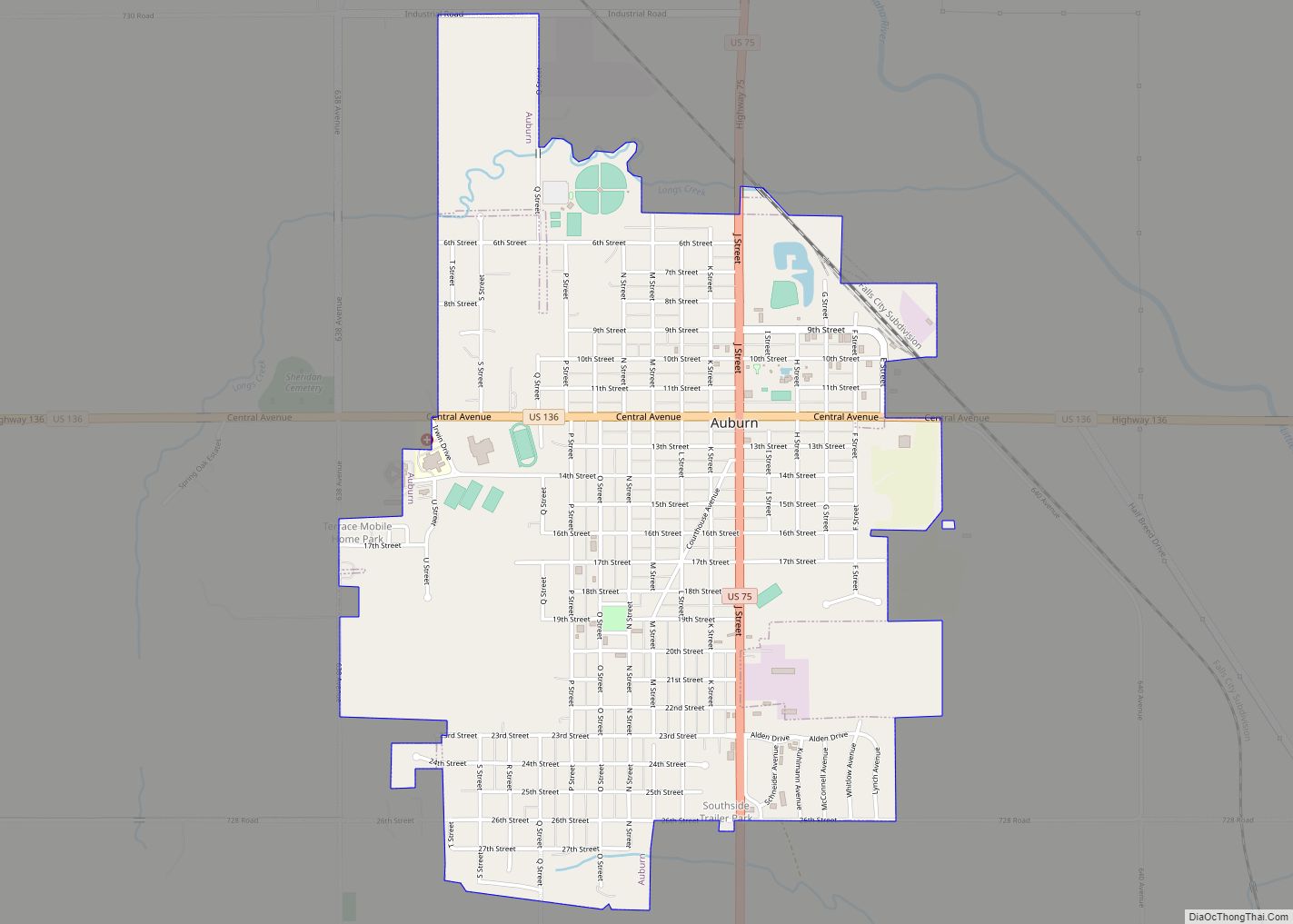
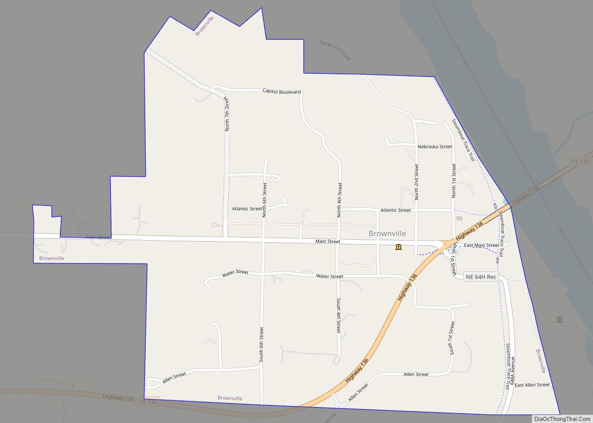
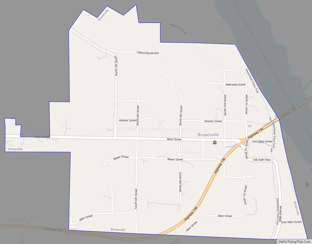
Brownville Road Map
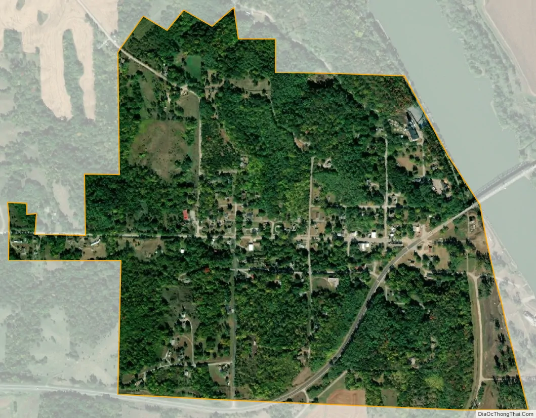
Brownville city Satellite Map
Geography
According to the United States Census Bureau, the village has a total area of 0.65 square miles (1.68 km), all land.
Climate
See also
Map of Nebraska State and its subdivision:- Adams
- Antelope
- Arthur
- Banner
- Blaine
- Boone
- Box Butte
- Boyd
- Brown
- Buffalo
- Burt
- Butler
- Cass
- Cedar
- Chase
- Cherry
- Cheyenne
- Clay
- Colfax
- Cuming
- Custer
- Dakota
- Dawes
- Dawson
- Deuel
- Dixon
- Dodge
- Douglas
- Dundy
- Fillmore
- Franklin
- Frontier
- Furnas
- Gage
- Garden
- Garfield
- Gosper
- Grant
- Greeley
- Hall
- Hamilton
- Harlan
- Hayes
- Hitchcock
- Holt
- Hooker
- Howard
- Jefferson
- Johnson
- Kearney
- Keith
- Keya Paha
- Kimball
- Knox
- Lancaster
- Lincoln
- Logan
- Loup
- Madison
- McPherson
- Merrick
- Morrill
- Nance
- Nemaha
- Nuckolls
- Otoe
- Pawnee
- Perkins
- Phelps
- Pierce
- Platte
- Polk
- Red Willow
- Richardson
- Rock
- Saline
- Sarpy
- Saunders
- Scotts Bluff
- Seward
- Sheridan
- Sherman
- Sioux
- Stanton
- Thayer
- Thomas
- Thurston
- Valley
- Washington
- Wayne
- Webster
- Wheeler
- York
- Alabama
- Alaska
- Arizona
- Arkansas
- California
- Colorado
- Connecticut
- Delaware
- District of Columbia
- Florida
- Georgia
- Hawaii
- Idaho
- Illinois
- Indiana
- Iowa
- Kansas
- Kentucky
- Louisiana
- Maine
- Maryland
- Massachusetts
- Michigan
- Minnesota
- Mississippi
- Missouri
- Montana
- Nebraska
- Nevada
- New Hampshire
- New Jersey
- New Mexico
- New York
- North Carolina
- North Dakota
- Ohio
- Oklahoma
- Oregon
- Pennsylvania
- Rhode Island
- South Carolina
- South Dakota
- Tennessee
- Texas
- Utah
- Vermont
- Virginia
- Washington
- West Virginia
- Wisconsin
- Wyoming