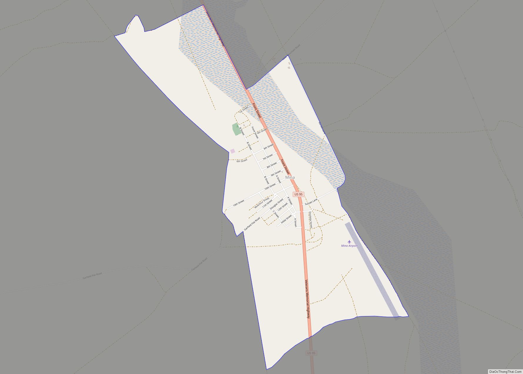
Mina is a census-designated place in Mineral County in west-central Nevada, United States. It is located along U.S. Route 95 (38° 23′ 25″ N 118° 06′ 30″ W) at an elevation of 4,560 feet (1,390 m). The 2010 population was 155. Mina CDP overview: Name: Mina CDP LSAD Code: 57 LSAD Description: CDP (suffix) State: Nevada ... Read more
Nevada Cities and Places
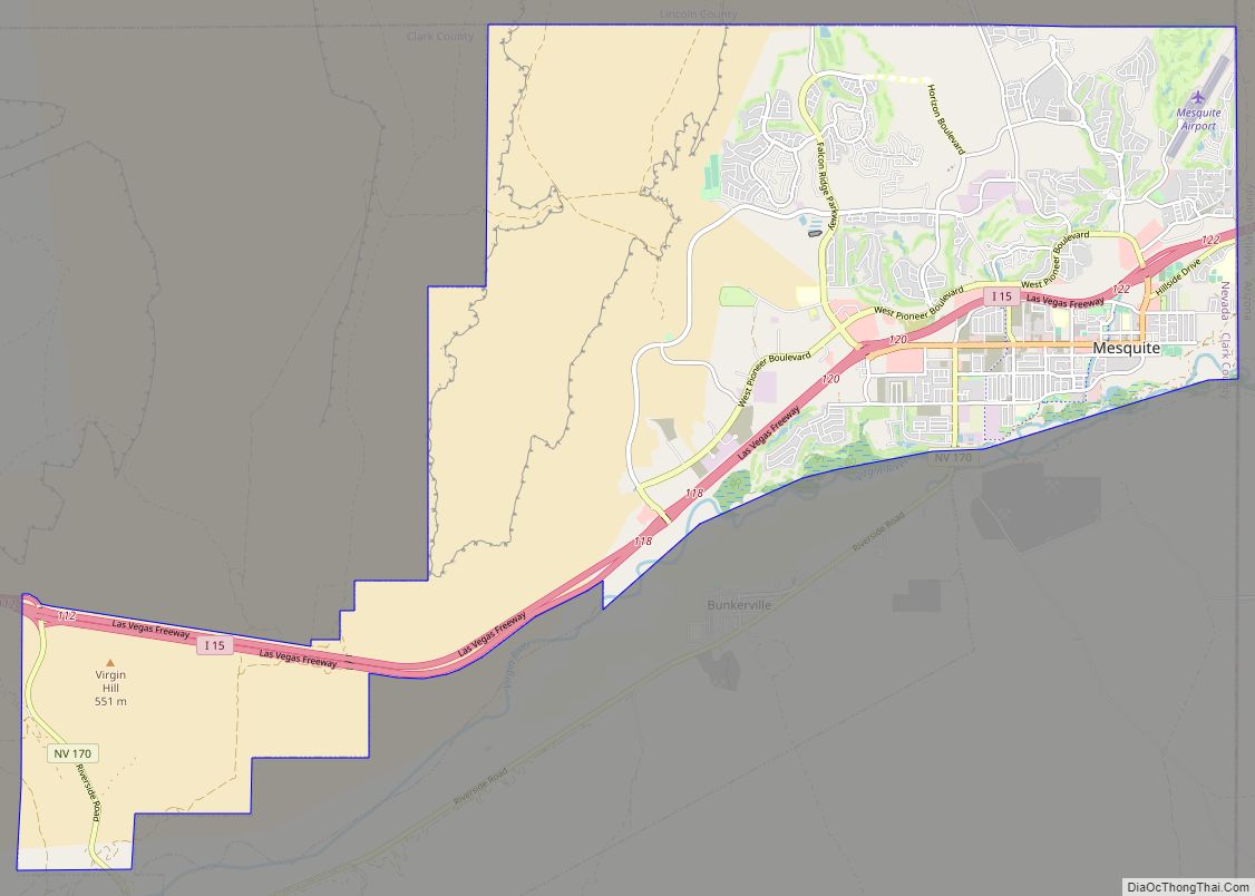
Mesquite is a city in Clark County, Nevada, United States adjacent to the Arizona state line and 80 miles (130 km) northeast of Las Vegas on Interstate 15. As of the 2020 census, the city had a population of 20,471. The city is located in the Virgin River valley adjacent to the Virgin Mountains in the ... Read more
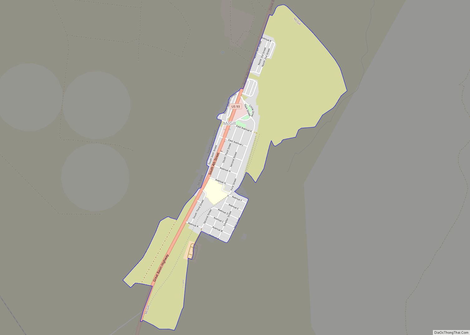
McGill is a census-designated place (CDP) in White Pine County, Nevada, United States. The population was 1,148 at the 2010 census. McGill CDP overview: Name: McGill CDP LSAD Code: 57 LSAD Description: CDP (suffix) State: Nevada County: White Pine County Elevation: 6,204 ft (1,891 m) Total Area: 1.21 sq mi (3.13 km²) Land Area: 1.21 sq mi (3.13 km²) Water Area: 0.00 sq mi (0.00 km²) ... Read more
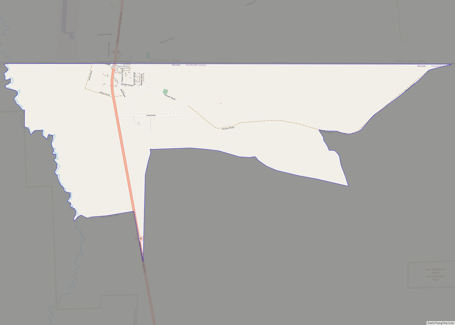
McDermitt is an unincorporated community straddling the Nevada–Oregon border, in Humboldt County, Nevada, and Malheur County, Oregon, United States. McDermitt’s economy has historically been based on mining, ranching, and farming. The last mining operation closed in 1990, resulting in a steady decline in population. As of the 2010 census, the combined population was 513. Seventy-five ... Read more
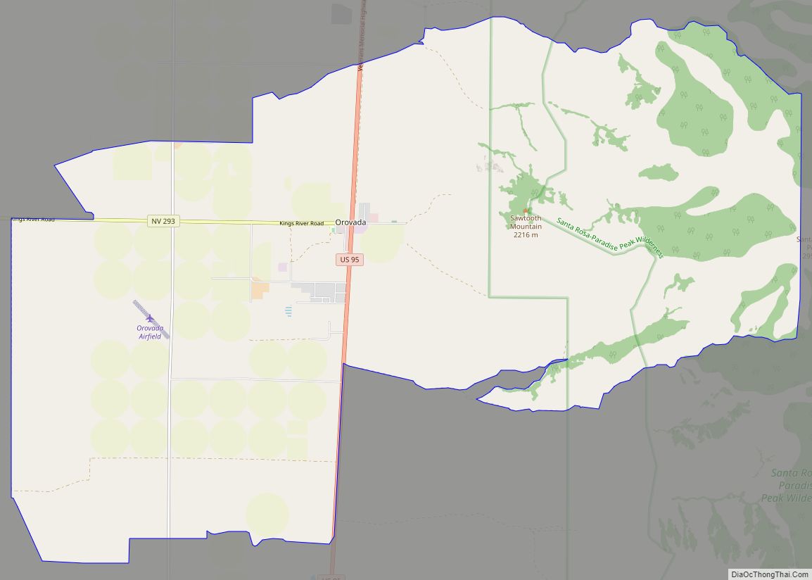
Orovada is a census-designated place in Humboldt County, Nevada. The population was 155 at the 2010 census. Orovada CDP overview: Name: Orovada CDP LSAD Code: 57 LSAD Description: CDP (suffix) State: Nevada County: Humboldt County Elevation: 4,236 ft (1,291 m) Total Area: 22.18 sq mi (57.44 km²) Land Area: 22.18 sq mi (57.44 km²) Water Area: 0.00 sq mi (0.00 km²) Total Population: 117 Population Density: ... Read more
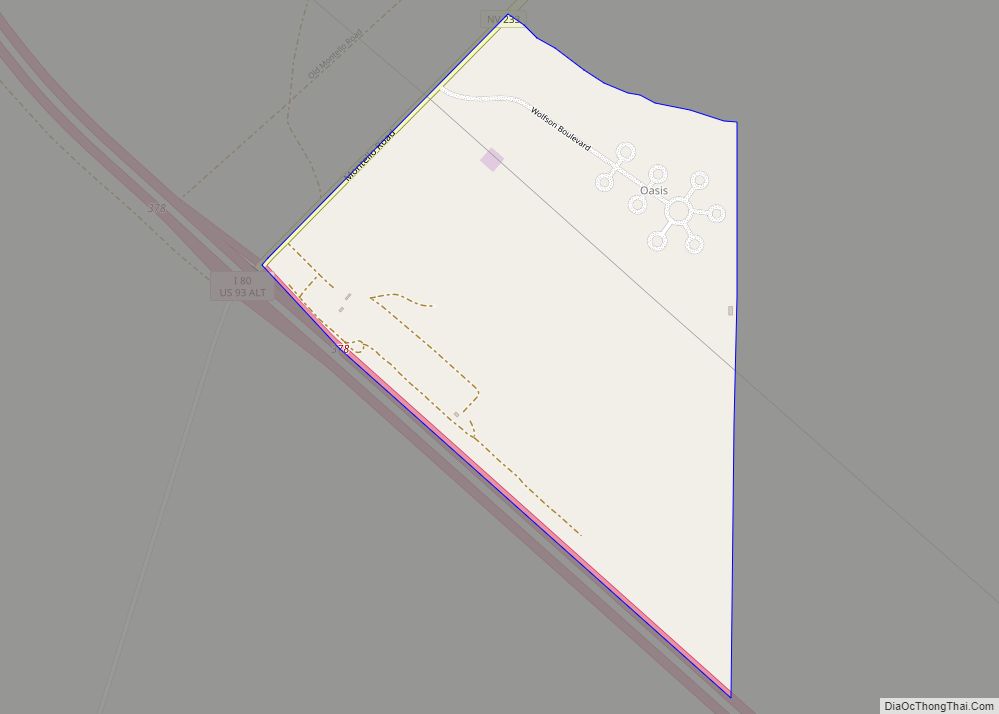
Oasis is a census-designated place (CDP) located in eastern Elko County, Nevada, United States, at the junction of State Route 233 and Interstate 80, 31 miles (50 km) northwest of the Utah border and 77 miles (124 km) east of Elko. As of the 2008 American Community Survey it had a population of 34. Oasis CDP overview: ... Read more
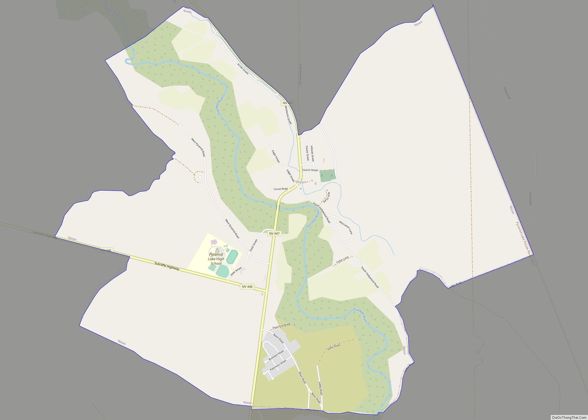
Nixon is a census-designated place (CDP) in Washoe County, Nevada, USA. The population was 374 at the 2010 census. It is part of the Reno–Sparks Metropolitan Statistical Area. It is the seat of tribal government of the Paiute Pyramid Lake Indian Reservation and home to the tribe’s Museum and Visitor Center. Nixon CDP overview: Name: ... Read more
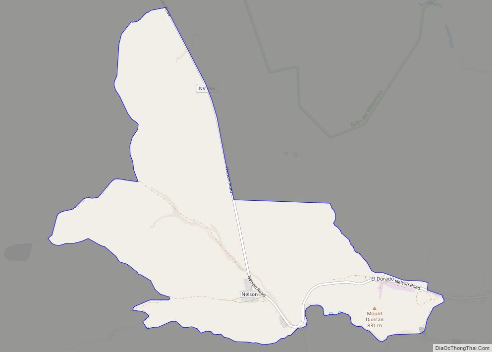
Nelson is a census-designated place in Clark County, Nevada, United States. The community is in the Pacific Standard Time zone. The location of Nelson is in El Dorado Canyon, Eldorado Mountains. The town is in the southeast region of the Eldorado Valley. As of the 2010 census it had a population of 37. Nelson CDP ... Read more
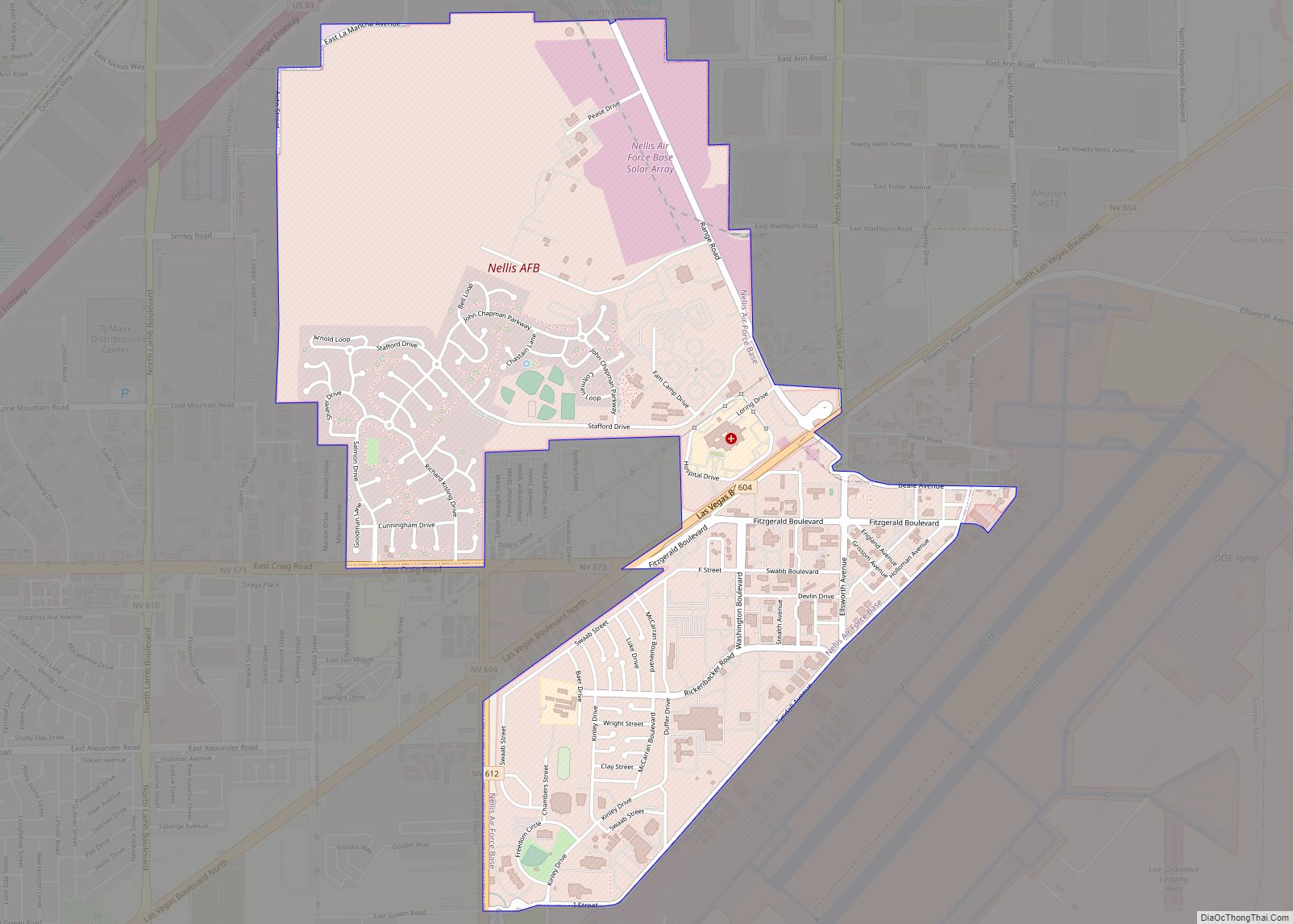
Nellis Air Force Base (“Nellis” colloq.) is a United States Air Force installation in southern Nevada. Nellis hosts air combat exercises such as Exercise Red Flag and close air support exercises such as Green Flag-West flown in “Military Operations Area (MOA) airspace”, associated with the nearby Nevada Test and Training Range (NTTR). The base also ... Read more
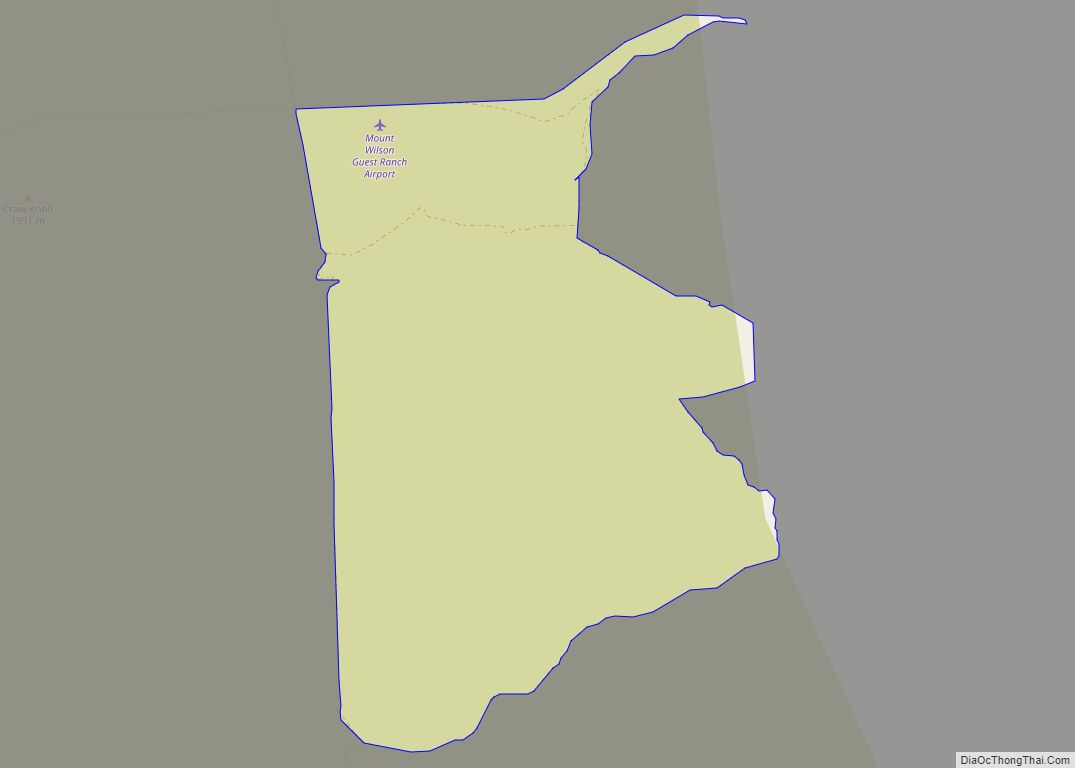
Mount Wilson is a census-designated place in Lincoln County, Nevada, United States. As of the 2010 census it had a population of 33. Mount Wilson CDP overview: Name: Mount Wilson CDP LSAD Code: 57 LSAD Description: CDP (suffix) State: Nevada County: Lincoln County Elevation: 6,746 ft (2,056 m) Total Area: 4.61 sq mi (11.93 km²) Land Area: 4.61 sq mi (11.93 km²) Water ... Read more
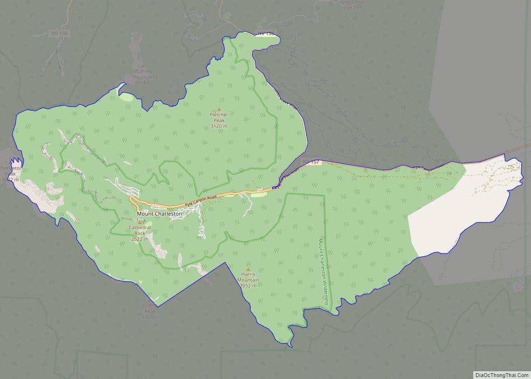
Mount Charleston is an unincorporated town and census-designated place in Clark County, Nevada, United States. The population was 357 at the 2010 census. The town of Mount Charleston is named for nearby Mount Charleston whose Charleston Peak at 11,916 feet (3,632 m) is the highest point in Clark County. The town of Mount Charleston is ... Read more
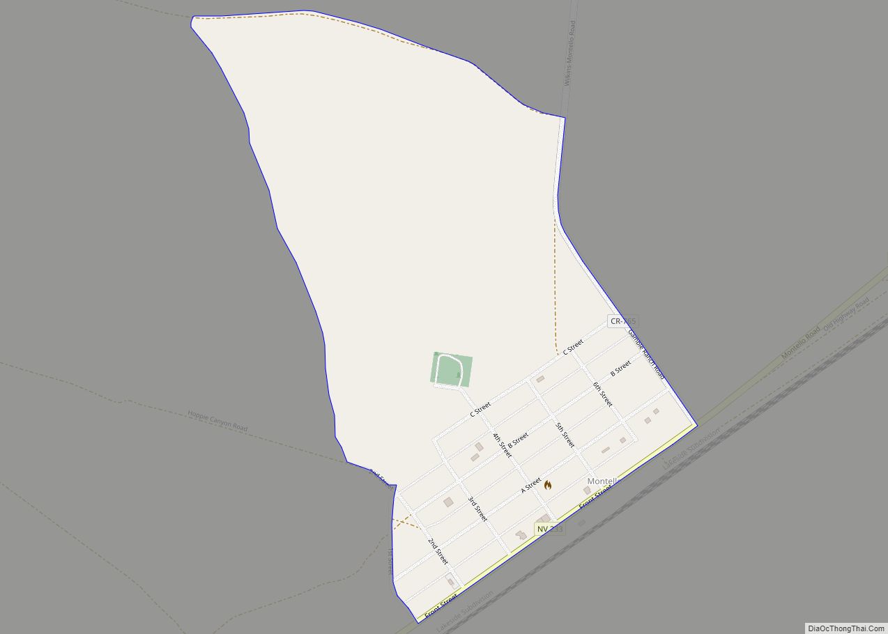
Montello is a census-designated place (CDP) in Elko County, Nevada, United States. It is home to Montello Elementary School, which is part of the Elko County School District. The population of Montello was 50 as of the 2018 American Community Survey. Two small bars and a market/motel selling fuel and sundries comprise the business district. ... Read more
