Owyhee (/oʊˈwaɪhiː/, Shoshoni: Un Kwahain) is a census-designated place (CDP) in Elko County, Nevada, United States, along the banks of the Owyhee River. The population was 953 at the 2010 census. It is part of the Elko Micropolitan Statistical Area. It is the primary town of the federally recognized Shoshone-Paiute tribe’s Duck Valley Indian Reservation, which covers portions of northern Nevada and southern Idaho, and the majority of its population are Native American.
Owyhee, along with the rest of Nevada except for the city of West Wendover, is legally in the Pacific Time Zone. But, along with other Idaho border towns such as Jackpot, Mountain City and Jarbidge, it unofficially observes the Mountain Time Zone as it has closer proximity to and greater connections with towns in southern Idaho.
| Name: | Owyhee CDP |
|---|---|
| LSAD Code: | 57 |
| LSAD Description: | CDP (suffix) |
| State: | Nevada |
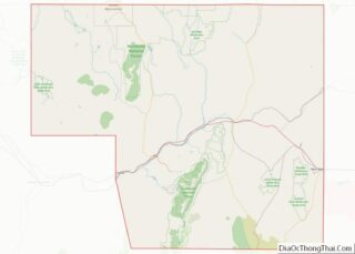
| County: | Elko County |
| Elevation: | 5,400 ft (1,646 m) |
| Total Area: | 224.99 sq mi (582.72 km²) |
| Land Area: | 224.39 sq mi (581.16 km²) |
| Water Area: | 0.60 sq mi (1.56 km²) |
| Total Population: | 1,027 |
| Population Density: | 4.58/sq mi (1.77/km²) |
| ZIP code: | 89832 |
| Area code: | 775 |
| FIPS code: | 3253600 |
| GNISfeature ID: | 0842663 |
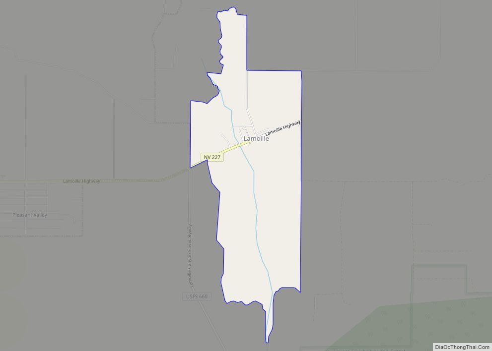
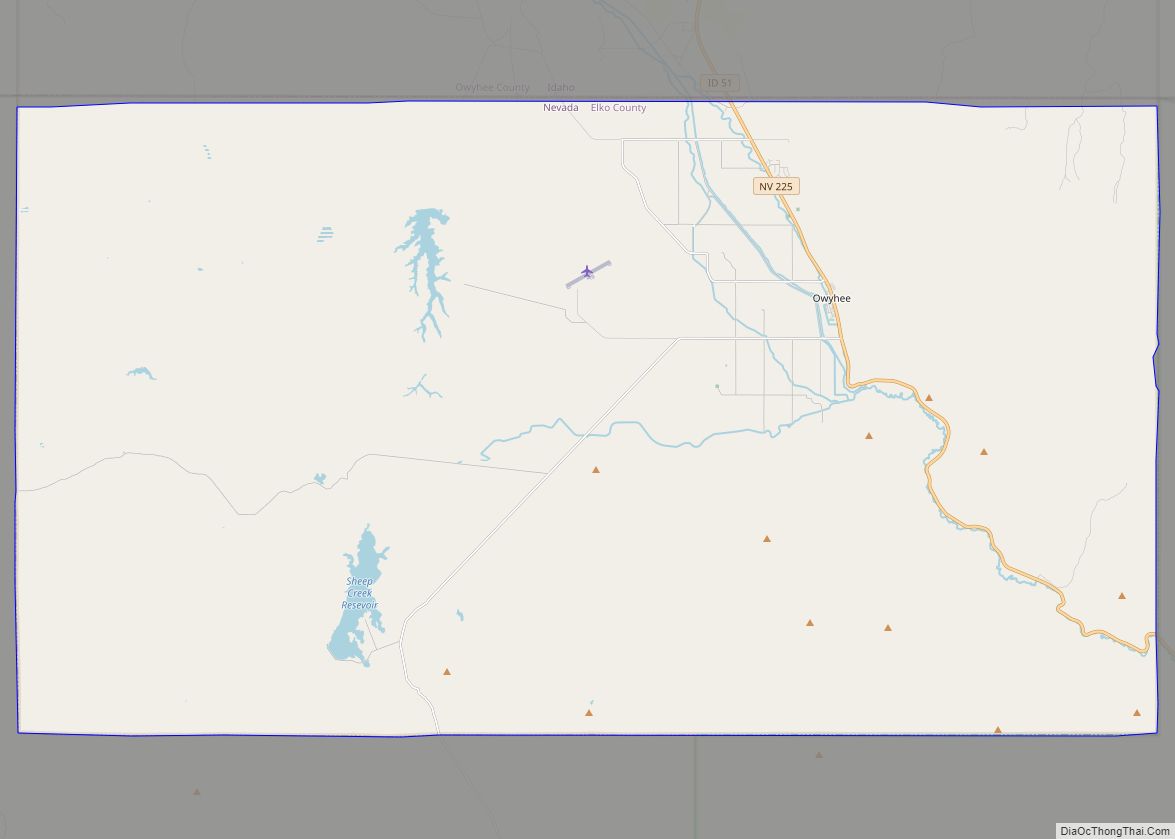
Online Interactive Map
Click on ![]() to view map in "full screen" mode.
to view map in "full screen" mode.
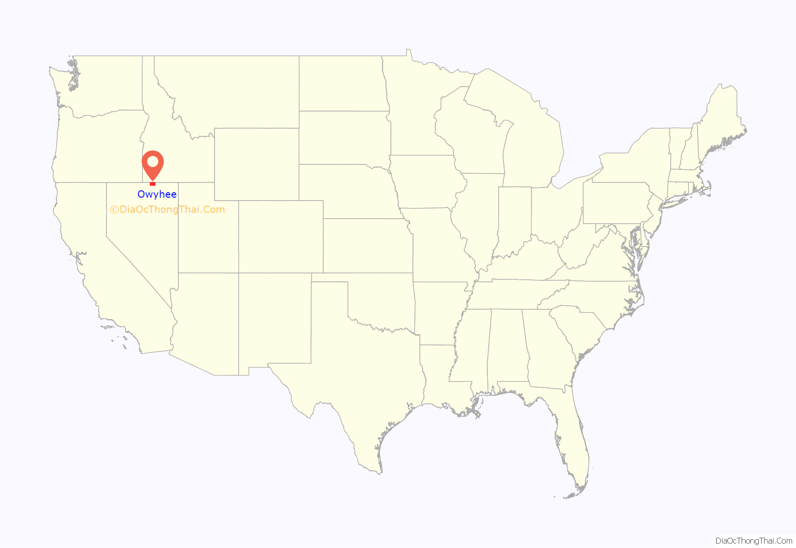
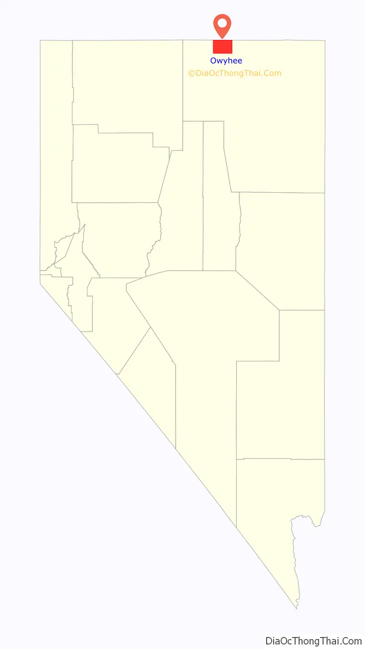
Owyhee location map. Where is Owyhee CDP?
History
The Tribes once freely occupied the land in the tri-state area of what is now Idaho, Nevada, and Oregon. This changed with the coming of migrants from the eastern United States and Europe, especially after the mid-19th century. Land and resources were wrested away from the Shoshone and Paiute. The tribes made treaties with the United States, of which some were ratified by the Senate and others not. The chiefs signed all the treaties in good faith and for the survival of their peoples.
Descendants of the Western Shoshone and the Northern Paiute occupy the Duck Valley Indian Reservation of Idaho and Nevada. Various bands of the two closely related tribes have jointly used the area for seasonal hunting and gathering from time immemorial.
On April 16, 1877, United States President Rutherford B. Hayes established the reservation for the Western Shoshone. In the early days of the Duck Valley reservation, the people built and lived in their traditional earthen, willow and sagebrush huts. Bands of Western Shoshone occupied and revolved on and off the reservation, depending on their survival needs and because of the unfulfilled promises of food and supplies from the federal government. Some bands adapted as best they could.
Others did not want to leave their homelands and campsites which were located off the reservation. The Northern Paiute bands became allied with their kin, the Bannock, in the Bannock War of 1878. After their defeat by the United States, survivors were relocated as prisoners to an Indian reservation in Yakima, Washington. Upon their release, the survivors were returned to their homelands, and the Western Shoshone reservation was expanded for their use in 1886.
In 1884, local settlers tried to get the Western Shoshone removed to the Fort Hall Reservation in Idaho, in order to open up Duck Valley lands for non-Indian homesteads, but the chiefs successfully resisted this effort. The tribal bands located at Duck Valley were supervised by the Indian Agent and later Indian Police. Farming and ranching became the mainstay for the people.
From 1884 through 1911 an Indian boarding school operated on the reservation. Thereafter three day schools were operated in three separate locations on the reservation. In Owyhee, the Swayne School was built.
In 1931, during the Great Depression, the day schools were closed, and all students were sent to the Swayne School. Students of the higher grades were sent off reservation to boarding schools until 1946, That year high school classes were finally added to the reservation school. In 1956 the reservation school system was consolidated into the Elko County School District of Nevada and today is known as the Owyhee Combined Schools (K-12). Recently, a community education center was placed in Owyhee for GED and higher education courses.
The first full-time physician was assigned to Duck Valley in 1882. By 1897 a small one-room infirmary hospital was built. It was replaced by 1920 with a structure which had two seven-bed wards.
The Shoshone and Paiute united at Duck Valley under the Indian Reorganization Act of 1934 and formed a tribal government through adopting a constitution and bylaws for elected government in 1936. In July 1937 the native stone hospital was completed with a 20-bed ward, X-ray and laboratory facilities. The native stone hospital was closed in 1976 when the modern Owyhee Community Health Facility was completed.
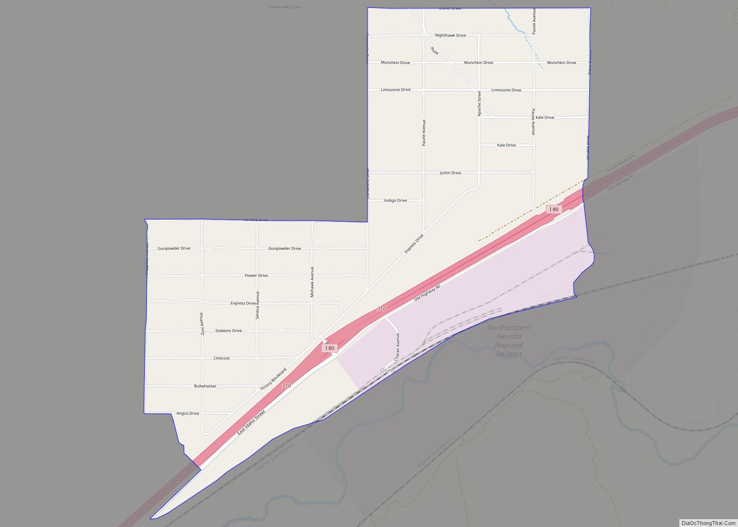
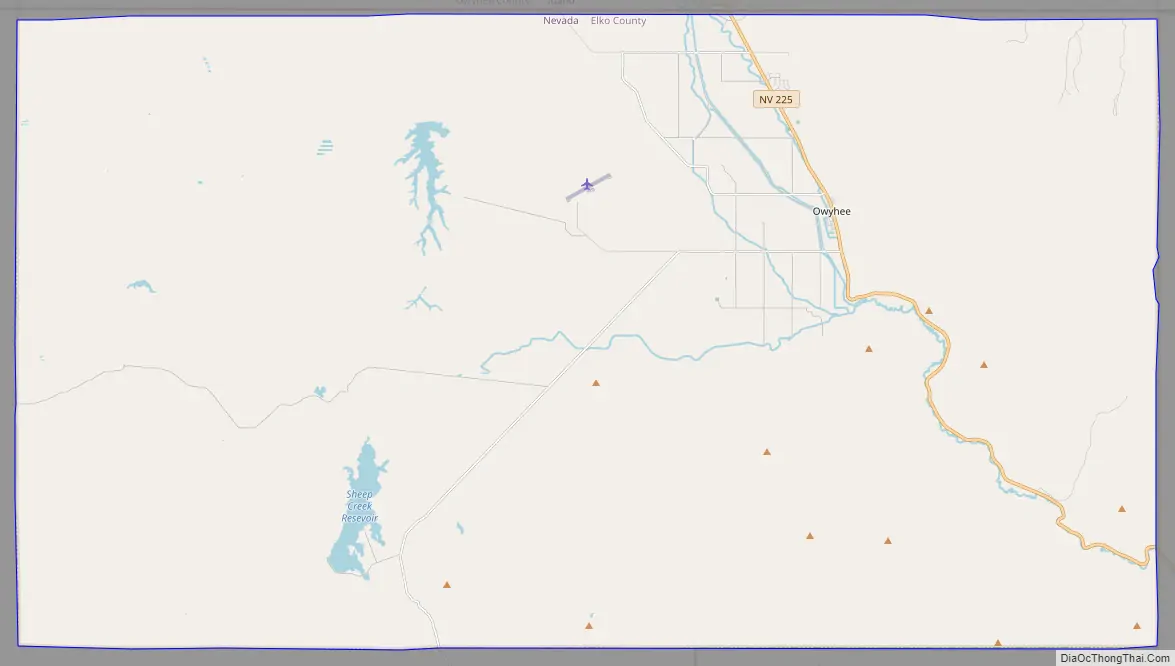
Owyhee Road Map
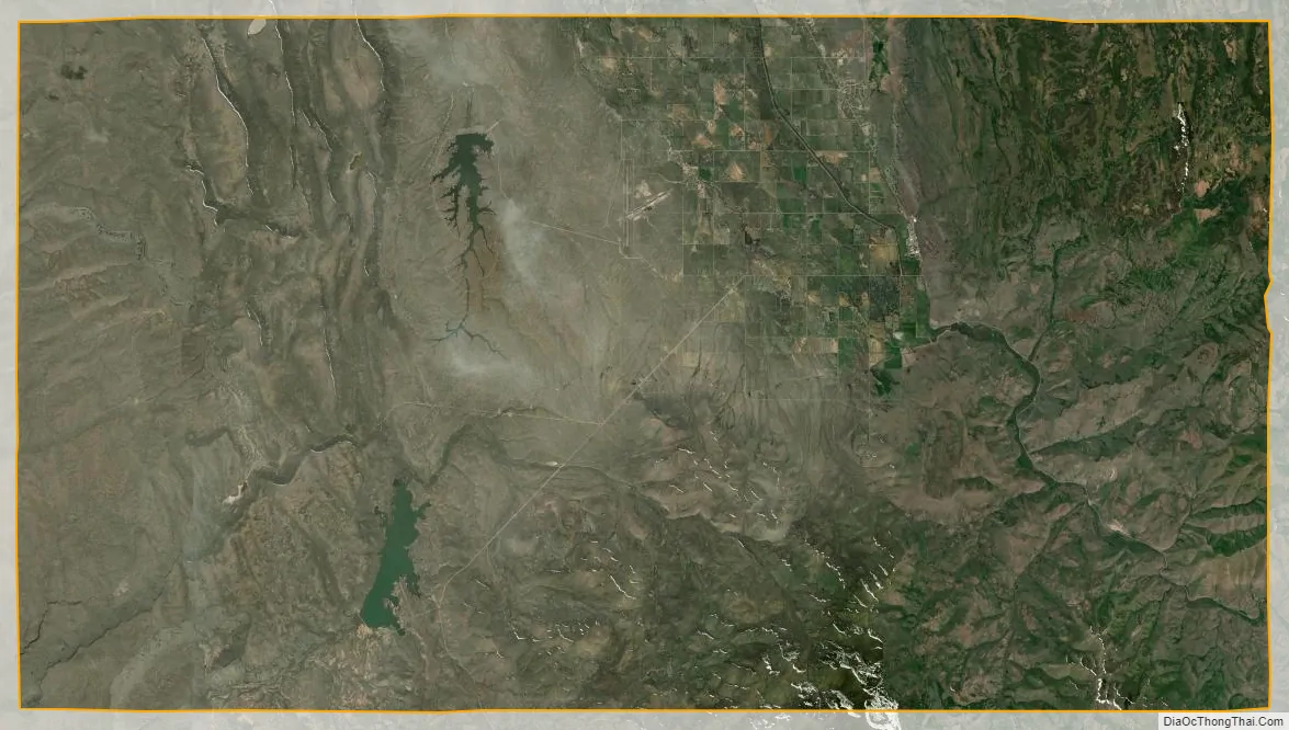
Owyhee city Satellite Map
Geography
Owyhee is located along the northern border of Nevada at 41°56′53″N 116°8′7″W / 41.94806°N 116.13528°W / 41.94806; -116.13528 (41.947928, -116.135181). According to the United States Census Bureau, the CDP has a total area of 225.9 square miles (585.1 km), of which 225.3 square miles (583.5 km) is land and 0.62 square miles (1.6 km), or (0.27%, is water.
Nevada State Route 225 leads south from Owyhee 97 miles (156 km) to Elko, the county seat. Mountain Home, Idaho, is 96 miles (154 km) to the north via Idaho State Highway 51.
See also
Map of Nevada State and its subdivision: Map of other states:- Alabama
- Alaska
- Arizona
- Arkansas
- California
- Colorado
- Connecticut
- Delaware
- District of Columbia
- Florida
- Georgia
- Hawaii
- Idaho
- Illinois
- Indiana
- Iowa
- Kansas
- Kentucky
- Louisiana
- Maine
- Maryland
- Massachusetts
- Michigan
- Minnesota
- Mississippi
- Missouri
- Montana
- Nebraska
- Nevada
- New Hampshire
- New Jersey
- New Mexico
- New York
- North Carolina
- North Dakota
- Ohio
- Oklahoma
- Oregon
- Pennsylvania
- Rhode Island
- South Carolina
- South Dakota
- Tennessee
- Texas
- Utah
- Vermont
- Virginia
- Washington
- West Virginia
- Wisconsin
- Wyoming