Lovelock is the county seat of Pershing County, Nevada, United States, in which it is the only incorporated city. It is the namesake of a nearby medium-security men’s prison and a Cold War-era gunnery range. Formerly a stop for settlers on their way to California and later a train depot, the town’s economy remains based on farming, mining and increasingly on tourism.
| Name: | Lovelock city |
|---|---|
| LSAD Code: | 25 |
| LSAD Description: | city (suffix) |
| State: | Nevada |
| County: | Pershing County |
| Elevation: | 3,980 ft (1,213 m) |
| Total Area: | 0.86 sq mi (2.23 km²) |
| Land Area: | 0.86 sq mi (2.23 km²) |
| Water Area: | 0.00 sq mi (0.00 km²) |
| Total Population: | 1,805 |
| Population Density: | 2,096.40/sq mi (809.34/km²) |
| ZIP code: | 89419 |
| Area code: | 775 |
| FIPS code: | 3243000 |
| Website: | www.cityoflovelock.com |
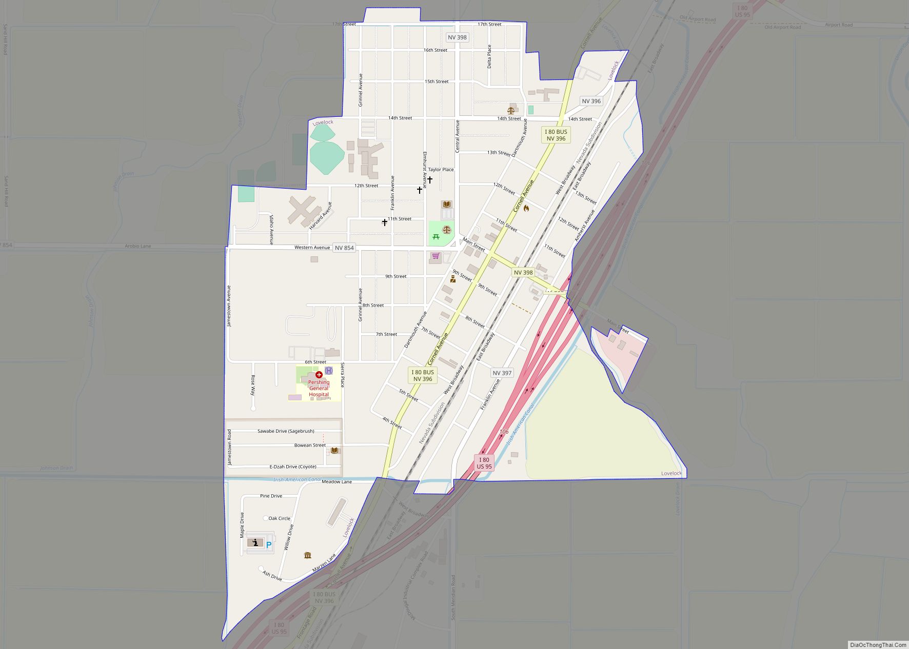
Online Interactive Map
Click on ![]() to view map in "full screen" mode.
to view map in "full screen" mode.
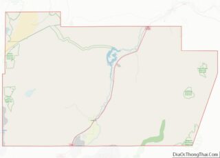
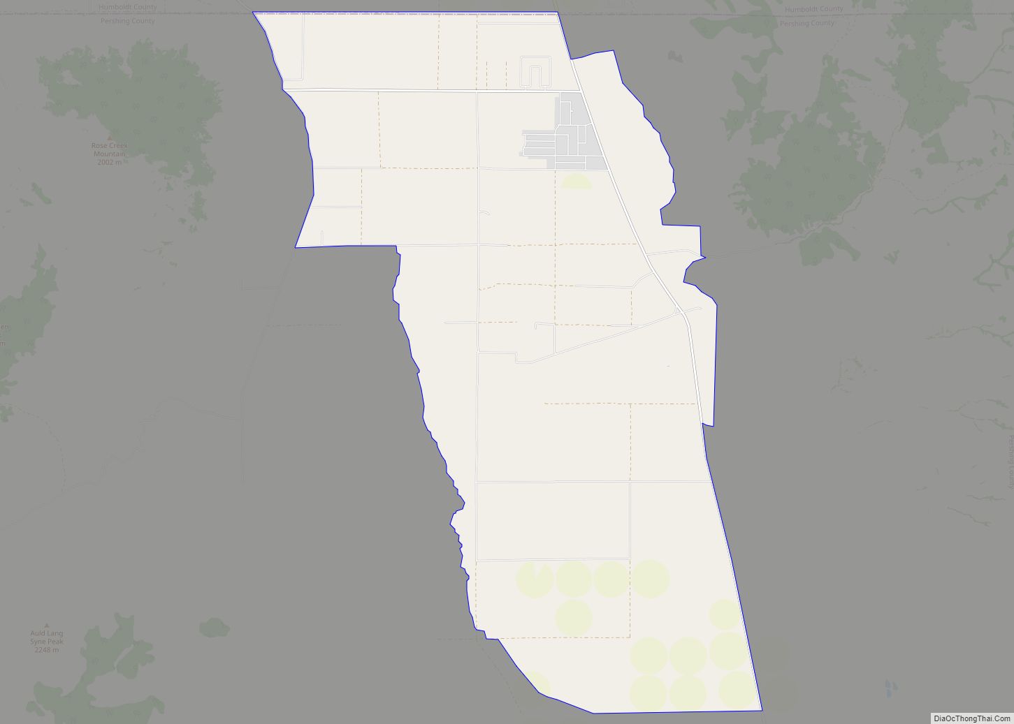
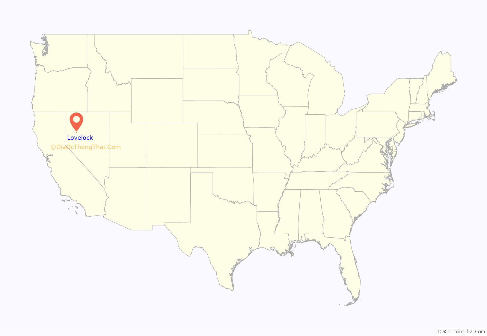
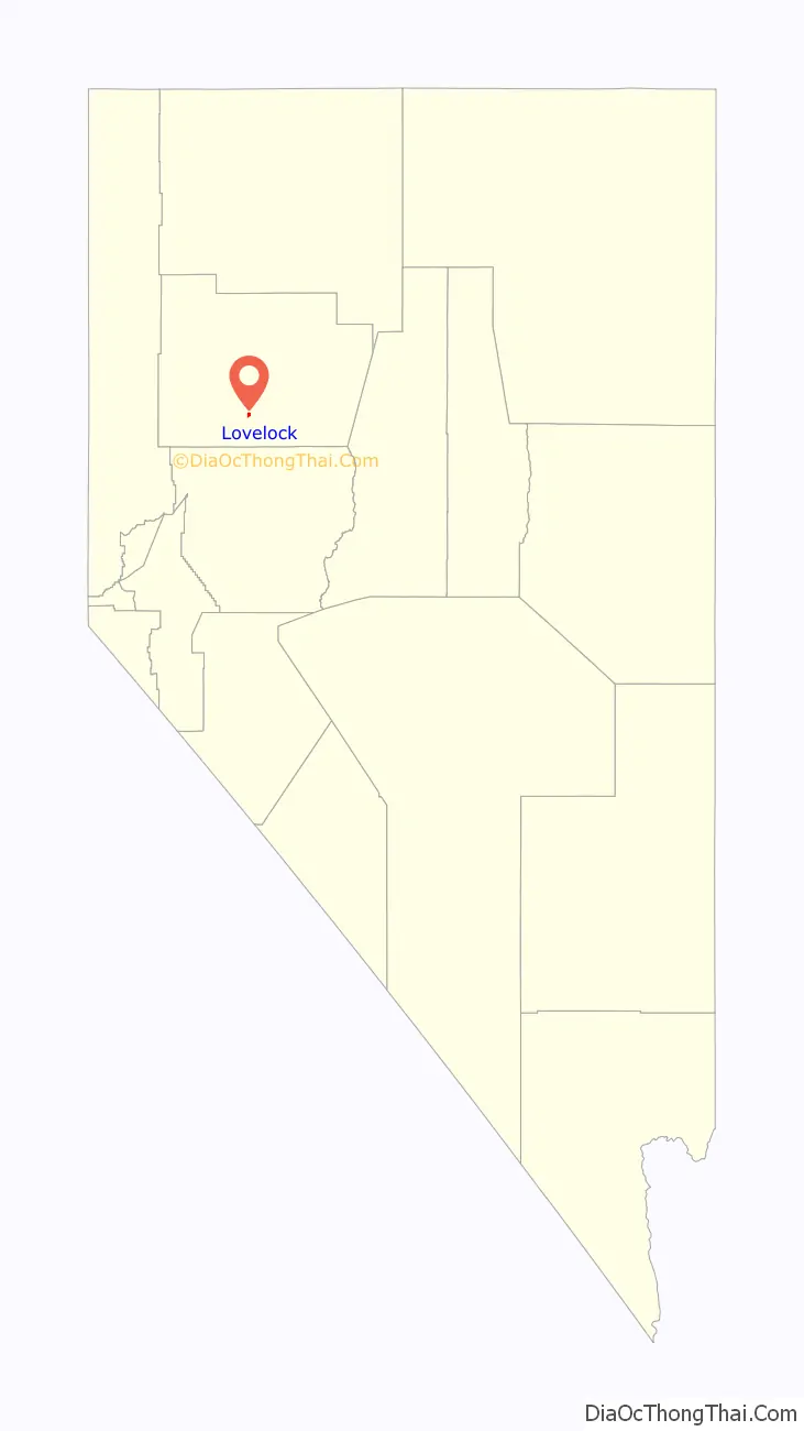
Lovelock location map. Where is Lovelock city?
History
The area in which the township of Lovelock was to be established first came to prominence as a midpoint on the Humboldt Trail to California. According to an 1849 description of what were then called the Big Meadows, “This marsh for three miles is certainly the liveliest place that one could witness in a lifetime. There is some two hundred and fifty wagons here all the time. Trains going out and others coming in and taking their places is the constant order of the day. Cattle and mules by the hundreds are surrounding us, in grass to their knees, all discoursing sweet music with the grinding of their jaws.”
A few settlers stopped there to harvest the wild rye growing in the meadows and scythe the hay each fall, which they then sold. Arriving there from California in 1866, the English settler George Lovelock (1824–1907) bought the squatters’ right for 320 acres (129 ha) and received with it the oldest water rights on the Humboldt River. Although born in Wales, Lovelock was from a family of Wiltshire origin that is known to family historians as the Lyneham Line. His brother Daniel moved to Australia—and one of Daniel’s sons to New Zealand—so that the relations of the man after whom the Nevada town was named are now widely scattered.
The town’s foundation came about with the building of the Central Pacific Railroad through the area in August 1868. George Lovelock provided 85 acres (34 ha) for the site, so the depot was therefore named ‘Lovelock’s’ after him and appears as such on old maps. Thereafter he put his mining expertise to work and discovered many valuable lodes in the surrounding area, which contributed to enhanced railway traffic. He also acted as the town’s first postmaster and invested in hotels. In particular he was the first proprietor of the Big Meadows Hotel on Main Street, adjacent to the train station and what was eventually the Greyhound Bus depot.
By 1900, the town of Lovelock had a school, churches and a business district along what was then called Railway Street—later renamed West Broadway. Also included among the businesses were no less than three weekly newspapers: The Lovelock Tribune, which ran from May 1898 until February 1912; the short-lived Lovelock Standard (April–September 1900); and The Argus (May 1900-Jan 1905). In August 1908 the weekly Lovelock Review was founded, becoming Lovelock Review-Miner in January 1911 and remaining under that name to the present day.
Lovelock was incorporated as a city in 1917 and in 1919 it was named the county seat when Pershing County was carved out of the southern part of Humboldt County. Its famous round Court House was built at the end of Main Street, on the site of a school, which was then relocated. While mining and agriculture acted as the commercial centre for the locality, the community thrived on the state speciality of gambling, with many casinos and three legalised brothels, although all of the latter are now closed. The town’s centenary was celebrated in 1968 with a Frontier Days theme suggested by two of the founder’s great-great granddaughters, Elaine Pommerening and Pat Rowe, who had only recently moved back to Lovelock. In 1983, old U.S. Route 40 through downtown was bypassed by Interstate 80, and in the early 1990s the rail depot closed. Since then it has promoted itself as a tourist attraction with its historic buildings and special events.
There have been several mining booms in the neighboring mountains. These included intensive activity in the Rochester and Seven Troughs areas at the start of the 20th century and subsequent drilling with more advanced techniques later in Rochester. The Coeur Rochester mine began further open cast mining for silver and gold in 2011, test drilling for gold continues at Relief Canyon, and diatomite is dug at the Colado Mine.
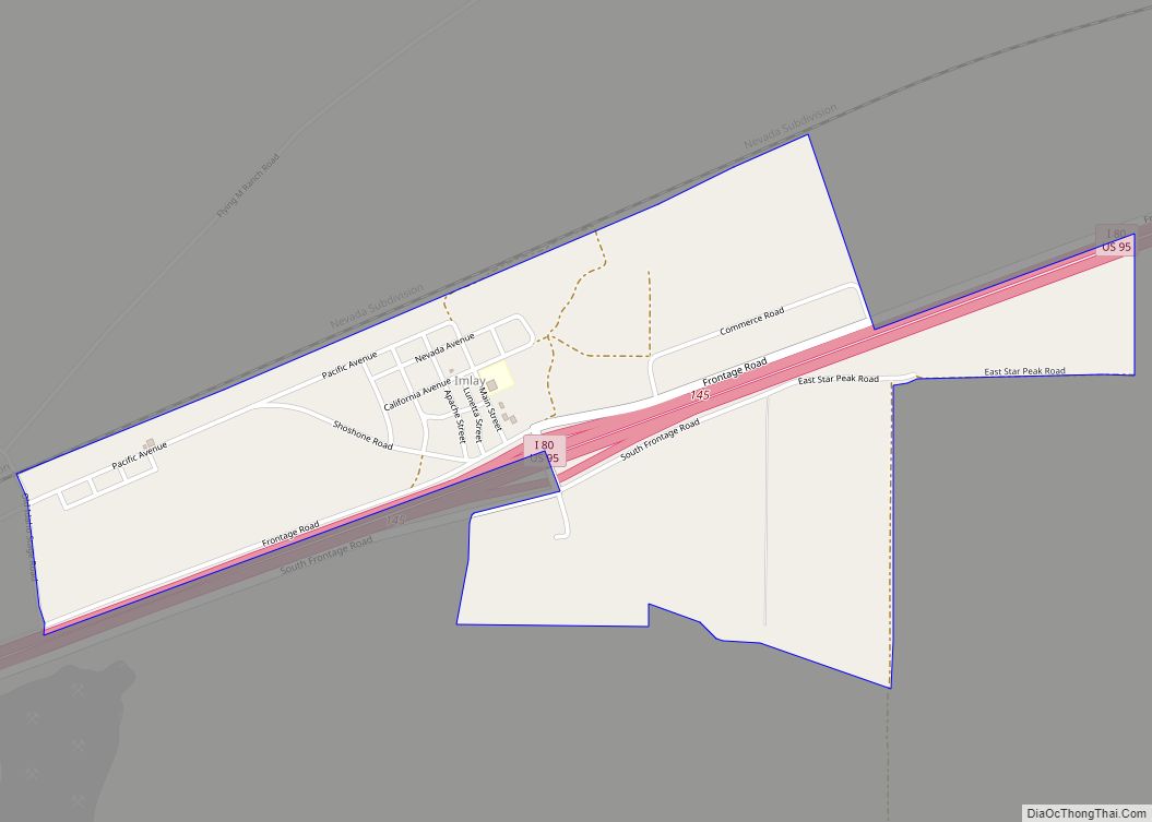
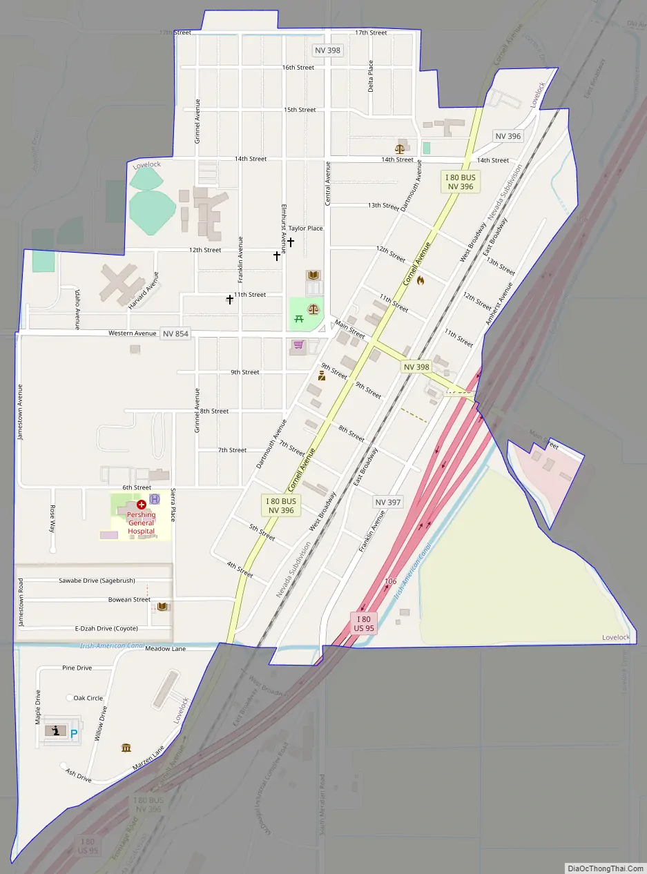
Lovelock Road Map
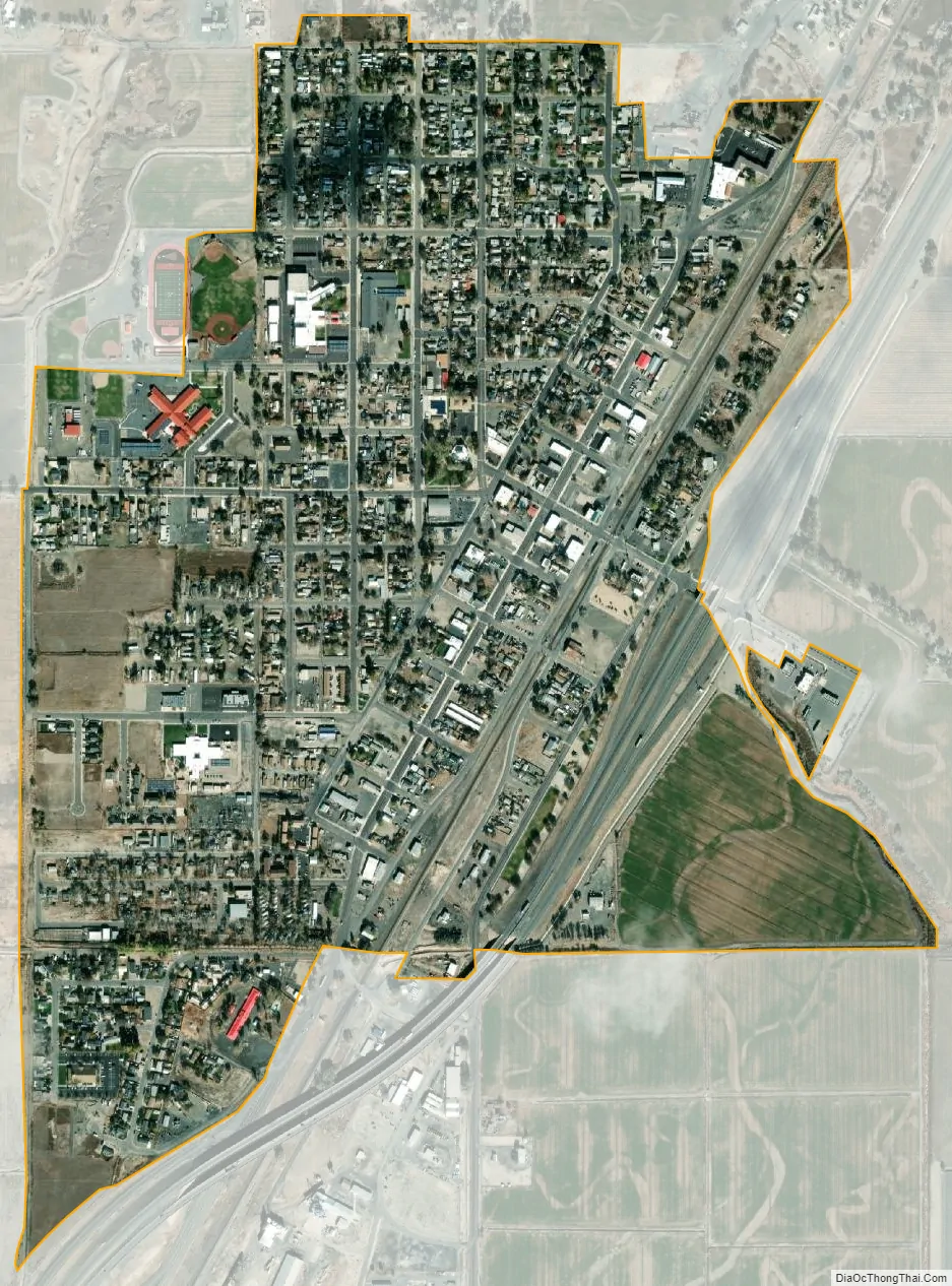
Lovelock city Satellite Map
Geography
Lovelock lies in the Humboldt River Basin, very near the terminus of the river. Some 20 miles outside the town is the Lovelock Native Cave, a horseshoe-shaped cave of about 35 ft width (11 m) and 150 ft length (46 m) where Northern Paiute natives anciently deposited a number of duck decoys and other artifacts.
According to the United States Census Bureau, the city has a total area of 0.9 square miles (2.3 km), all of it land. It has four differently designed welcome signs with pioneer and Wild West themes placed on its approach roads. At the southern end of town is the 20-acre reservation of the Lovelock Paiute Tribe, which has recently profited from a change in state law to open a marijuana dispensary there.
Climate
According to the Köppen Climate Classification system, Lovelock has a cold desert climate, abbreviated “BWk” on climate maps. The hottest temperature recorded in Lovelock was 112 °F (44 °C) on July 5, 2007, while the coldest temperature recorded was −38 °F (−39 °C) on January 25, 1949.
See also
Map of Nevada State and its subdivision: Map of other states:- Alabama
- Alaska
- Arizona
- Arkansas
- California
- Colorado
- Connecticut
- Delaware
- District of Columbia
- Florida
- Georgia
- Hawaii
- Idaho
- Illinois
- Indiana
- Iowa
- Kansas
- Kentucky
- Louisiana
- Maine
- Maryland
- Massachusetts
- Michigan
- Minnesota
- Mississippi
- Missouri
- Montana
- Nebraska
- Nevada
- New Hampshire
- New Jersey
- New Mexico
- New York
- North Carolina
- North Dakota
- Ohio
- Oklahoma
- Oregon
- Pennsylvania
- Rhode Island
- South Carolina
- South Dakota
- Tennessee
- Texas
- Utah
- Vermont
- Virginia
- Washington
- West Virginia
- Wisconsin
- Wyoming