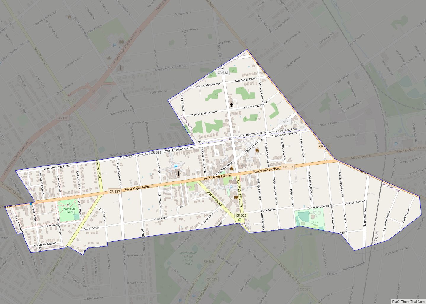
Merchantville is a borough in Camden County, in the U.S. state of New Jersey. As of the 2020 United States census, the borough’s population was 3,820, a decrease of one person from the 2010 census count of 3,821, which in turn reflected an increase of 20 (+0.5%) from the 3,801 counted in the 2000 census. ... Read more
New Jersey Cities and Places
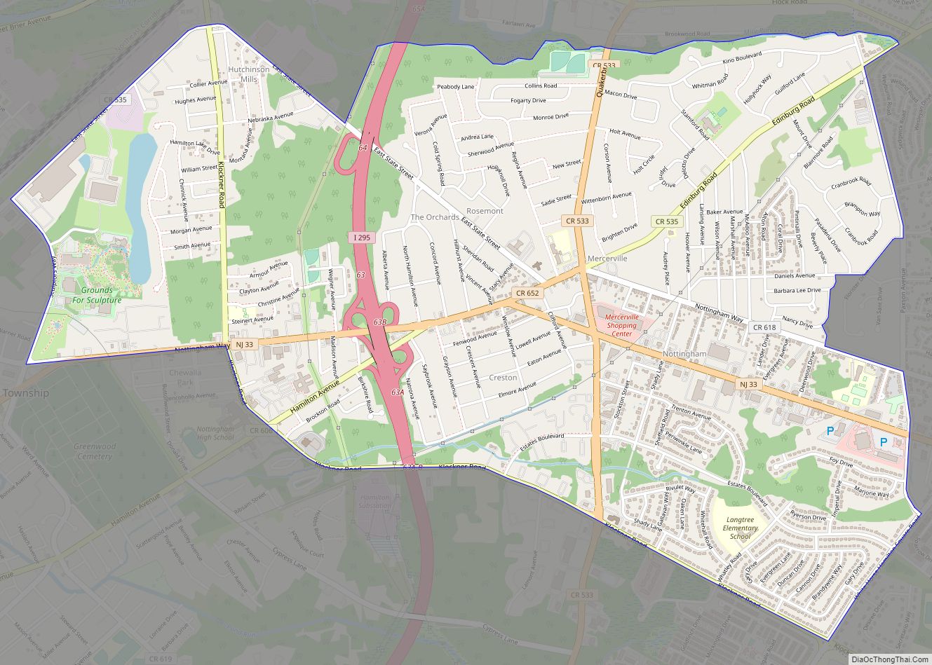
Mercerville is an unincorporated community and census-designated place (CDP) located within Hamilton Township, in Mercer County, New Jersey, United States. As of the 2010 United States Census, the CDP’s population was 13,230. Until after the 2000 Census, the area was part of the Mercerville-Hamilton Square CDP. For the 2010 Census it was split into two ... Read more
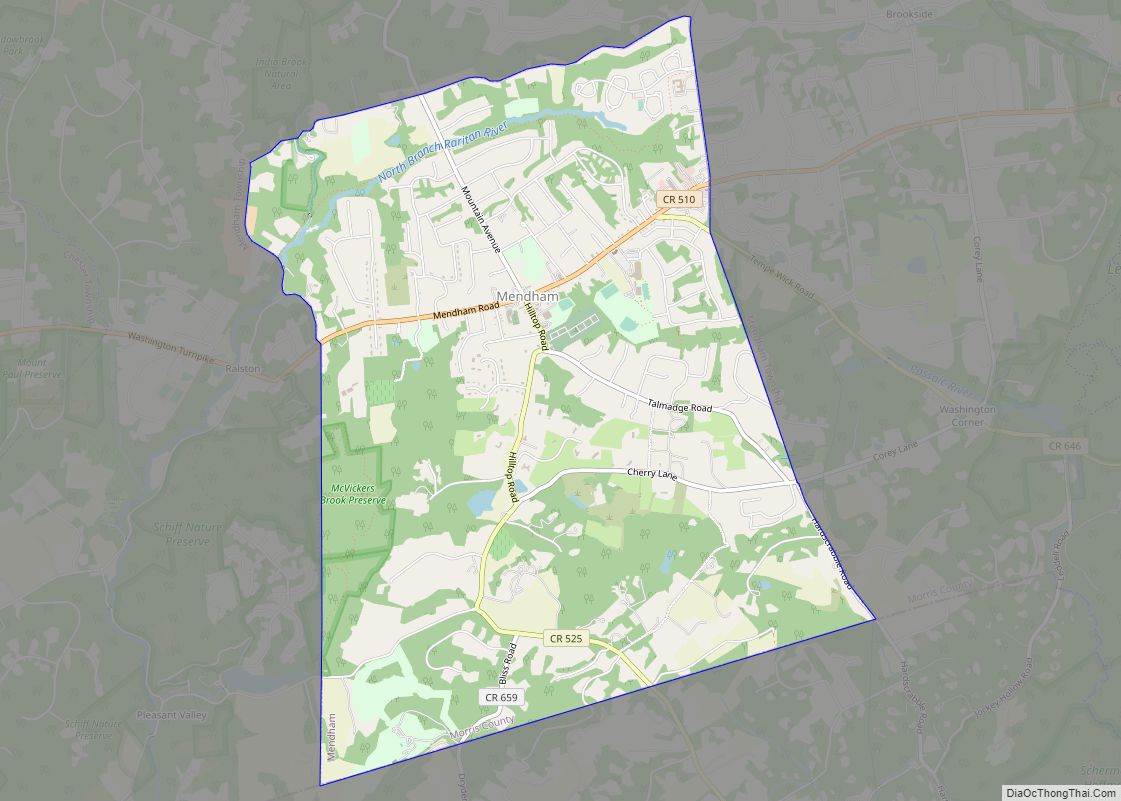
Mendham borough overview: Name: Mendham borough LSAD Code: 21 LSAD Description: borough (suffix) State: New Jersey County: Morris County FIPS code: 3445330 Online Interactive Map Mendham online map. Source: Basemap layers from Google Map, Open Street Map (OSM), Arcgisonline, Wmflabs. Boundary Data from Database of Global Administrative Areas. Mendham location map. Where is Mendham borough? ... Read more
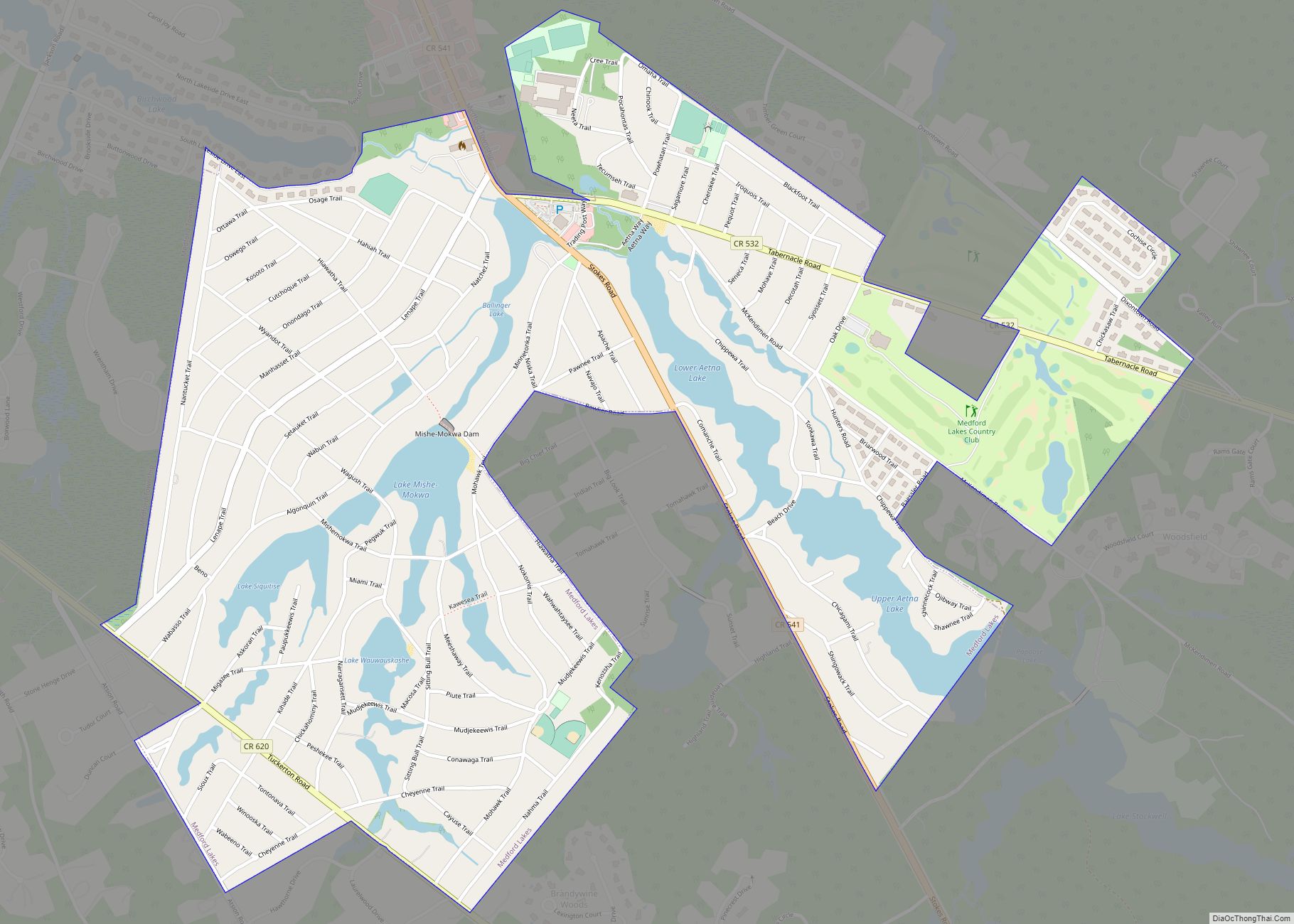
Medford Lakes is a borough in Burlington County, in the U.S. state of New Jersey. As of the 2020 United States census, the borough’s population was 4,264, an increase of 118 (+2.8%) from the 2010 census count of 4,146, which in turn reflected a decline of 27 (−0.6%) from the 4,173 counted in the 2000 ... Read more
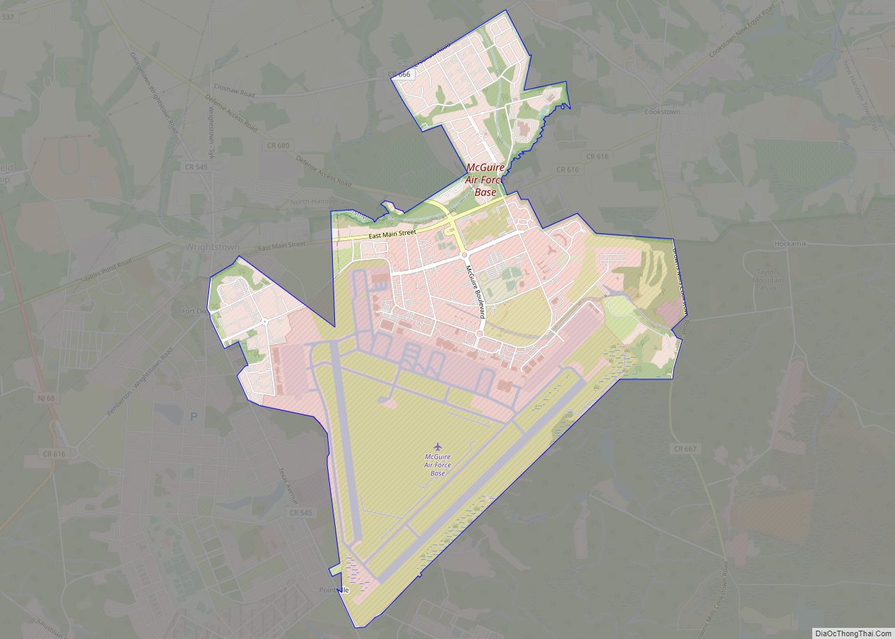
McGuire AFB/McGuire, the common name of the McGuire unit of Joint Base McGuire-Dix-Lakehurst, is a United States Air Force base in Burlington County, New Jersey, United States, approximately 16.1 miles (25.9 km) south-southeast of Trenton. McGuire is under the jurisdiction of the Air Mobility Command. It was consolidated with two adjoining US Army and Navy facilities ... Read more
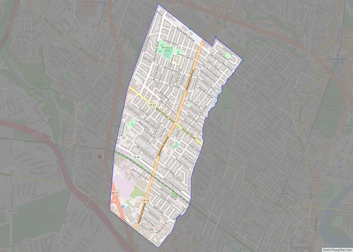
Maywood is a borough in Bergen County, in the U.S. state of New Jersey. As of the 2020 United States census, the borough’s population was 10,080, an increase of 525 (+5.5%) from the 2010 census count of 9,555, which in turn reflected an increase of 32 (+0.3%) from the 9,523 counted in the 2000 census. ... Read more
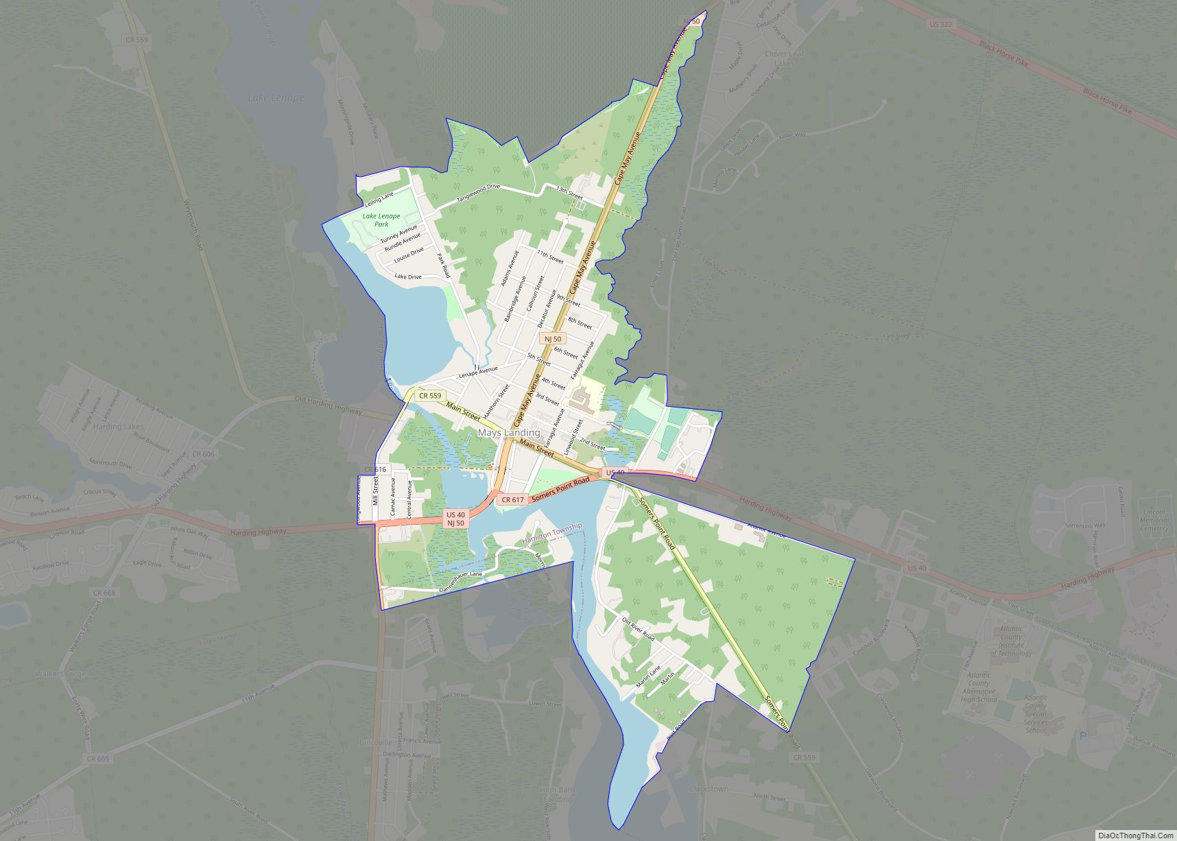
Mays Landing is an unincorporated community and census-designated place (CDP) located within Hamilton Township, Atlantic County, in the U.S. state of New Jersey. At the 2010 U.S. census, May’s Landing’s population was 2,135. It is the county seat of Atlantic County. The community was named for Captain George May, who sailed the Great Egg Harbor ... Read more
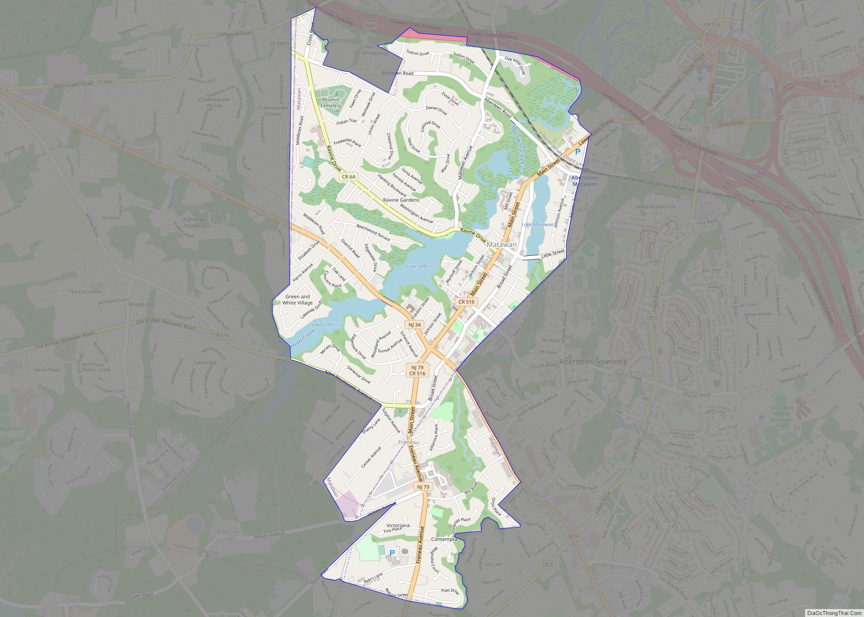
Matawan is a borough in Monmouth County, in the U.S. state of New Jersey. A historic community located near the Raritan Bay in the much larger Raritan Valley region, the borough is a commuter town of New York City within the New York Metropolitan Area. As of the 2020 United States census, the borough’s population ... Read more
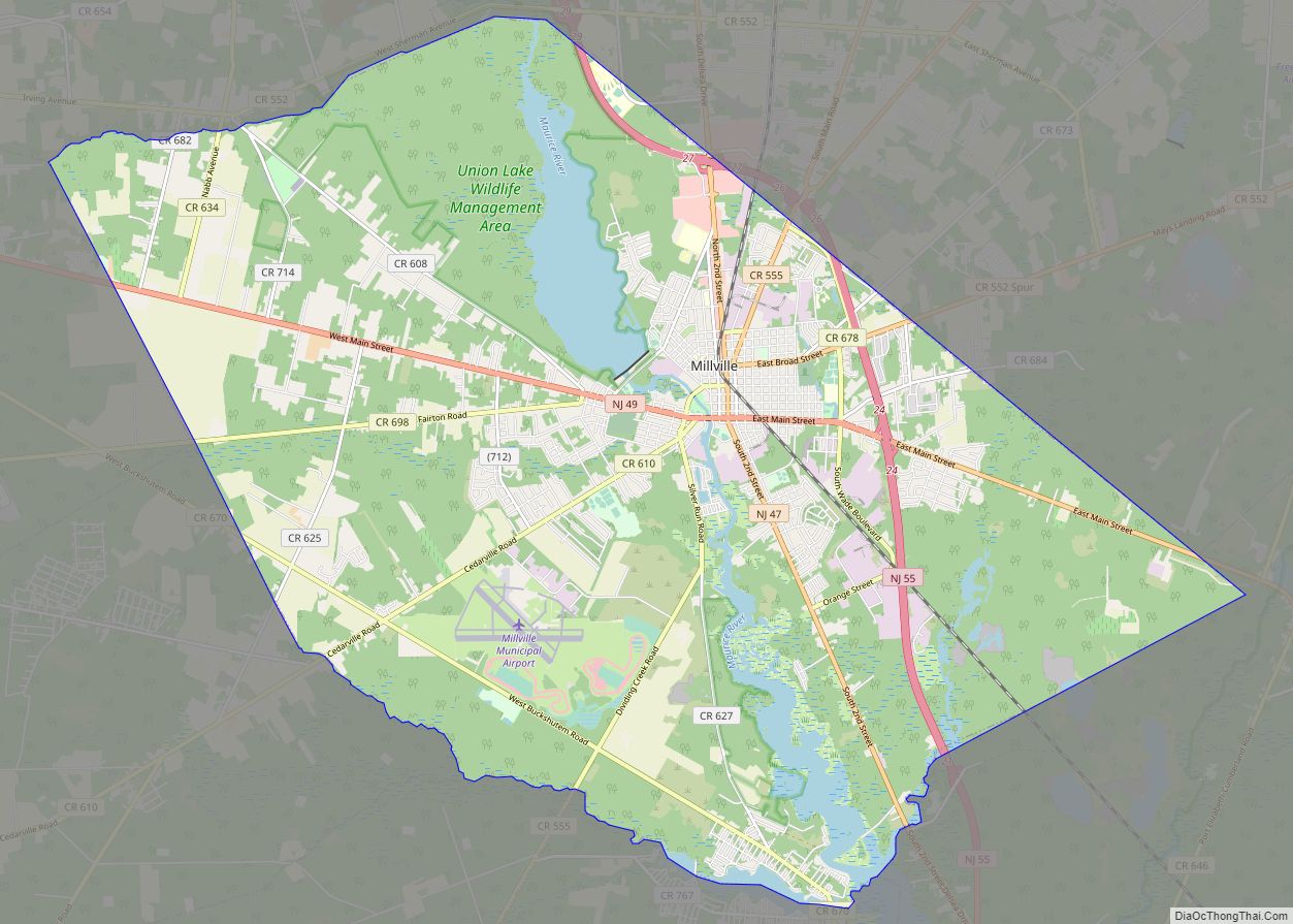
Millville city overview: Name: Millville city LSAD Code: 25 LSAD Description: city (suffix) State: New Jersey County: Cumberland County Founded: c. 1720 Incorporated: February 24, 1801 (as Township) Elevation: 43 ft (13 m) Total Area: 44.50 sq mi (115.25 km²) Land Area: 42.00 sq mi (108.78 km²) Water Area: 2.50 sq mi (6.47 km²) 5.62% Total Population: 27,491 Population Density: 654.6/sq mi (252.7/km²) ZIP code: 08332 Area code: ... Read more
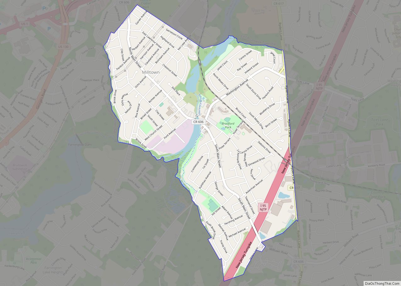
Milltown is a borough in Middlesex County, in the U.S. state of New Jersey. The borough is nestled within the heart of the Raritan Valley region, with Lawrence Brook (a Raritan river tributary) flowing through the center of the community. As of the 2020 United States census, the borough’s population was 7,037, an increase of ... Read more
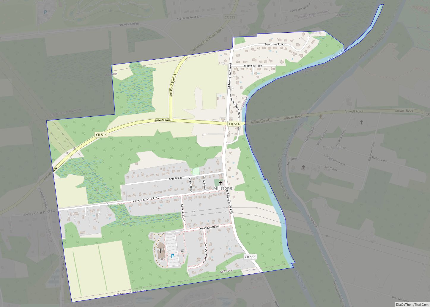
Millstone borough overview: Name: Millstone borough LSAD Code: 21 LSAD Description: borough (suffix) State: New Jersey County: Somerset County FIPS code: 3446590 Online Interactive Map Millstone online map. Source: Basemap layers from Google Map, Open Street Map (OSM), Arcgisonline, Wmflabs. Boundary Data from Database of Global Administrative Areas. Millstone location map. Where is Millstone borough? ... Read more
Milford is a borough located in western Hunterdon County, in the U.S. state of New Jersey. As of the 2020 United States census, the borough’s population was 1,232, a decrease of one person (−0.1%) from the 2010 census count of 1,233, which in turn reflected an increase of 38 (+3.2%) from the 1,195 counted at ... Read more
