Map of Woodstown borough

Map of Woodstown borough

Woodstown is a borough in Salem County, in the U.S. state of New Jersey. As of the 2020 United States census, the borough’s population was 3,678, an increase of 173 (+4.9%) from the 2010 census count of 3,505, which in turn reflected an increase of 369 (+11.8%) from the 3,136 counted in the 2000 census. … Read more

Map of Woodlynne borough

Map of Woodlynne borough

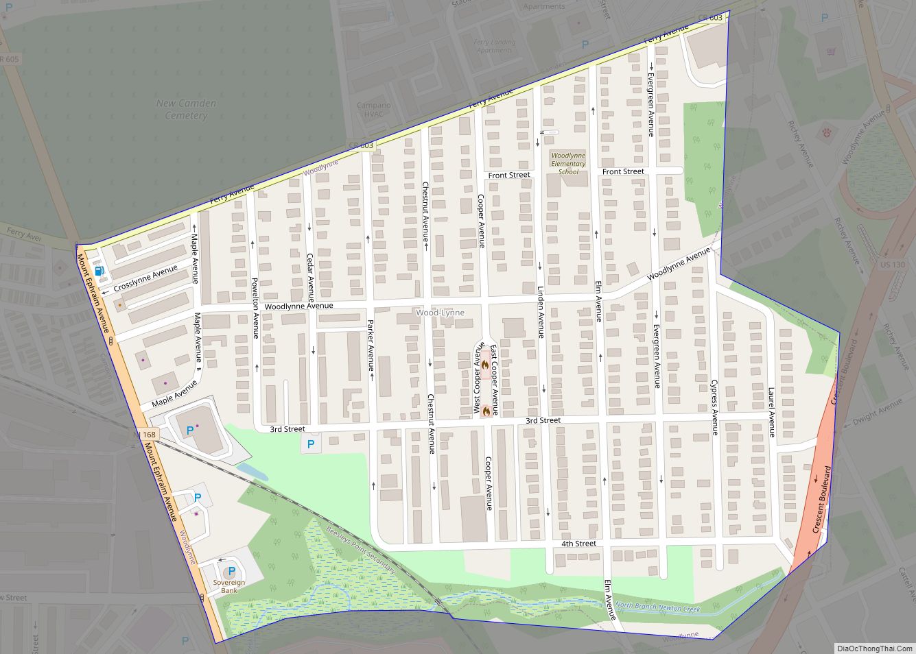
Woodlynne is a borough in Camden County, in the U.S. state of New Jersey. As of the 2020 United States census, the borough’s population was 2,902, a decrease of 76 (−2.6%) from the 2010 census count of 2,978, which in turn reflected an increase of 182 (+6.5%) from the 2,796 counted in the 2000 census. … Read more

Map of Woodland Park borough, New Jersey

Map of Woodland Park borough, New Jersey

Woodland Park (formerly West Paterson) is a borough in Passaic County, in the U.S. state of New Jersey. As of the 2020 United States census, the borough’s population was 13,484, an increase of 1,665 (+14.1%) from the 2010 census count of 11,819, which in turn reflected an increase of 832 (+7.6%) from the 10,987 counted … Read more