Maywood is a borough in Bergen County, in the U.S. state of New Jersey. As of the 2020 United States census, the borough’s population was 10,080, an increase of 525 (+5.5%) from the 2010 census count of 9,555, which in turn reflected an increase of 32 (+0.3%) from the 9,523 counted in the 2000 census.
Maywood was incorporated as a borough on June 29, 1894, from portions of Midland Township, based on the results of a referendum held that day. The borough was formed during the “Boroughitis” phenomenon then sweeping through Bergen County, in which 26 boroughs were formed in the county in 1894 alone. The borough’s name came from the name of a station established in the area by the New Jersey Midland Railroad.
| Name: | Maywood borough |
|---|---|
| LSAD Code: | 21 |
| LSAD Description: | borough (suffix) |
| State: | New Jersey |
| County: | Bergen County |
| Incorporated: | June 29, 1894 |
| Elevation: | 89 ft (27 m) |
| Total Area: | 1.29 sq mi (3.34 km²) |
| Land Area: | 1.29 sq mi (3.33 km²) |
| Water Area: | 0.00 sq mi (0.01 km²) 0.16% |
| Total Population: | 10,080 |
| Population Density: | 7,832.2/sq mi (3,024.0/km²) |
| ZIP code: | 07607 |
| Area code: | 201 |
| FIPS code: | 3444880 |
| GNISfeature ID: | 0885294 |
| Website: | www.maywoodnj.com |
Online Interactive Map
Click on ![]() to view map in "full screen" mode.
to view map in "full screen" mode.
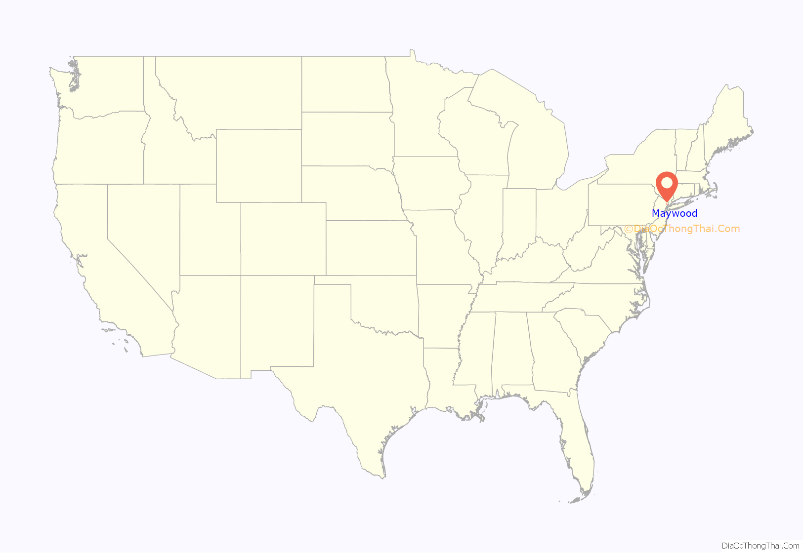
Maywood location map. Where is Maywood borough?
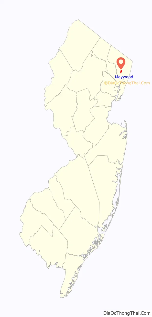
Maywood Road Map

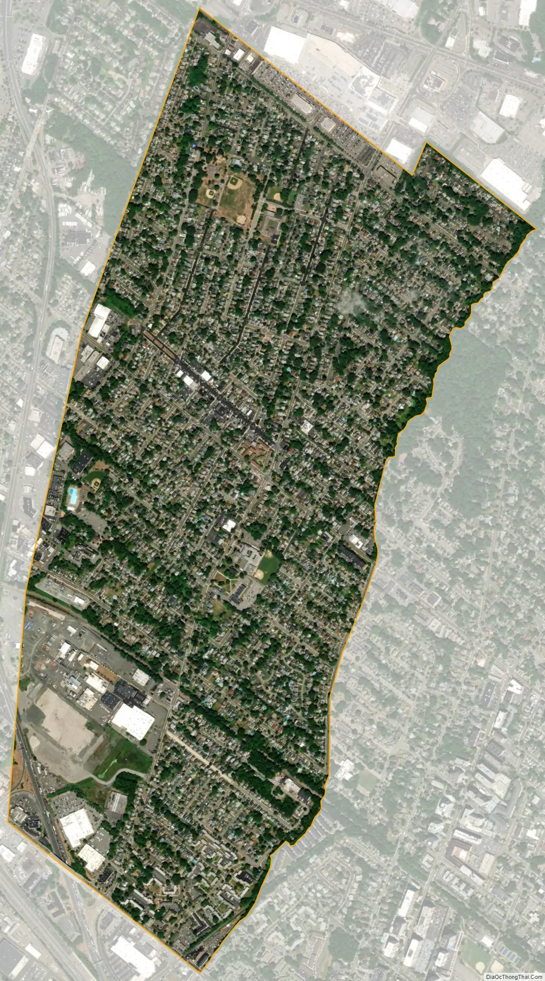
Maywood city Satellite Map
Geography
According to the United States Census Bureau, the borough had a total area of 1.29 square miles (3.34 km), including 1.29 square miles (3.33 km) of land and <0.01 square miles (0.01 km) of water (0.16%).
The borough borders the Bergen County municipalities of Hackensack, Lodi, Paramus and Rochelle Park.
See also
Map of New Jersey State and its subdivision: Map of other states:- Alabama
- Alaska
- Arizona
- Arkansas
- California
- Colorado
- Connecticut
- Delaware
- District of Columbia
- Florida
- Georgia
- Hawaii
- Idaho
- Illinois
- Indiana
- Iowa
- Kansas
- Kentucky
- Louisiana
- Maine
- Maryland
- Massachusetts
- Michigan
- Minnesota
- Mississippi
- Missouri
- Montana
- Nebraska
- Nevada
- New Hampshire
- New Jersey
- New Mexico
- New York
- North Carolina
- North Dakota
- Ohio
- Oklahoma
- Oregon
- Pennsylvania
- Rhode Island
- South Carolina
- South Dakota
- Tennessee
- Texas
- Utah
- Vermont
- Virginia
- Washington
- West Virginia
- Wisconsin
- Wyoming


