Woodland Park (formerly West Paterson) is a borough in Passaic County, in the U.S. state of New Jersey. As of the 2020 United States census, the borough’s population was 13,484, an increase of 1,665 (+14.1%) from the 2010 census count of 11,819, which in turn reflected an increase of 832 (+7.6%) from the 10,987 counted in the 2000 census.
What is now Woodland Park was formed as a borough under the name West Paterson, by an act of the New Jersey Legislature on March 25, 1914, from portions of Little Falls Township, based on the results of a referendum held on May 1, 1914.
On November 4, 2008, the citizens of West Paterson voted to change the official name of the borough from West Paterson to Woodland Park. The new name retains the initials “W.P.” and is a reference to the community’s wooded areas. At a November 10, 2008 community meeting attended by 200 residents, a number of residents demanded that a recount be held if the official results showed that the measure had passed. In case the recount demand was unsuccessful, the group discussed filing a petition to change the name back to West Paterson, including discussion of how to raise the $33,000 needed to cover the cost of a special election in spring 2009 for voters to reconsider the name. By November 25, 2008, the provisional vote counts had been tallied, and the name change won by 25 votes. The mayor and Council approved a resolution in December 2008, officially changing the borough’s name to the Borough of Woodland Park, effective January 1, 2009. The name change is an attempt to “distance” itself from nearby urban Paterson, New Jersey, and all of the social ills associated with cities, including but not limited to urban blight, high crime, and drug addiction. A referendum held on November 3, 2009, affirmed the name change.
| Name: | Woodland Park borough |
|---|---|
| LSAD Code: | 21 |
| LSAD Description: | borough (suffix) |
| State: | New Jersey |
| County: | Passaic County |
| Incorporated: | May 1, 1914 (as West Paterson) |
| Elevation: | 348 ft (106 m) |
| Total Area: | 3.08 sq mi (7.97 km²) |
| Land Area: | 2.94 sq mi (7.61 km²) |
| Water Area: | 0.14 sq mi (0.36 km²) 4.51% |
| Total Population: | 13,484 |
| Population Density: | 4,588.0/sq mi (1,771.4/km²) |
| ZIP code: | 07424 |
| Area code: | 973 |
| FIPS code: | 3482423 |
| GNISfeature ID: | 0885439 |
| Website: | www.wpnj.us |
Online Interactive Map
Click on ![]() to view map in "full screen" mode.
to view map in "full screen" mode.
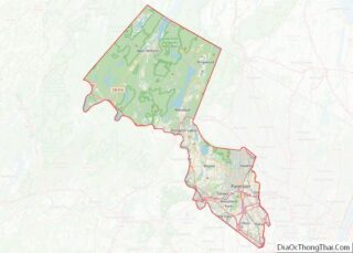
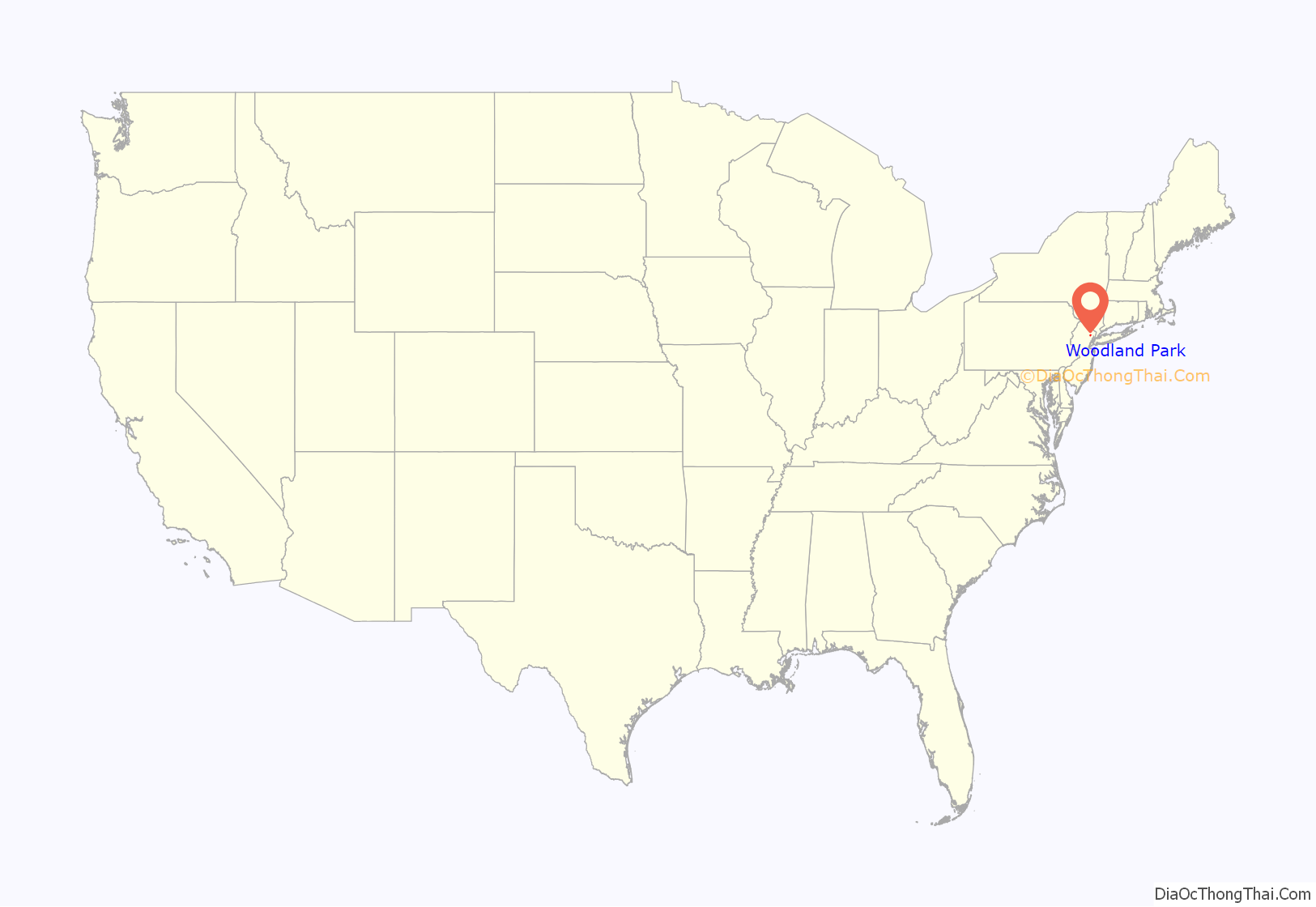
Woodland Park location map. Where is Woodland Park borough?

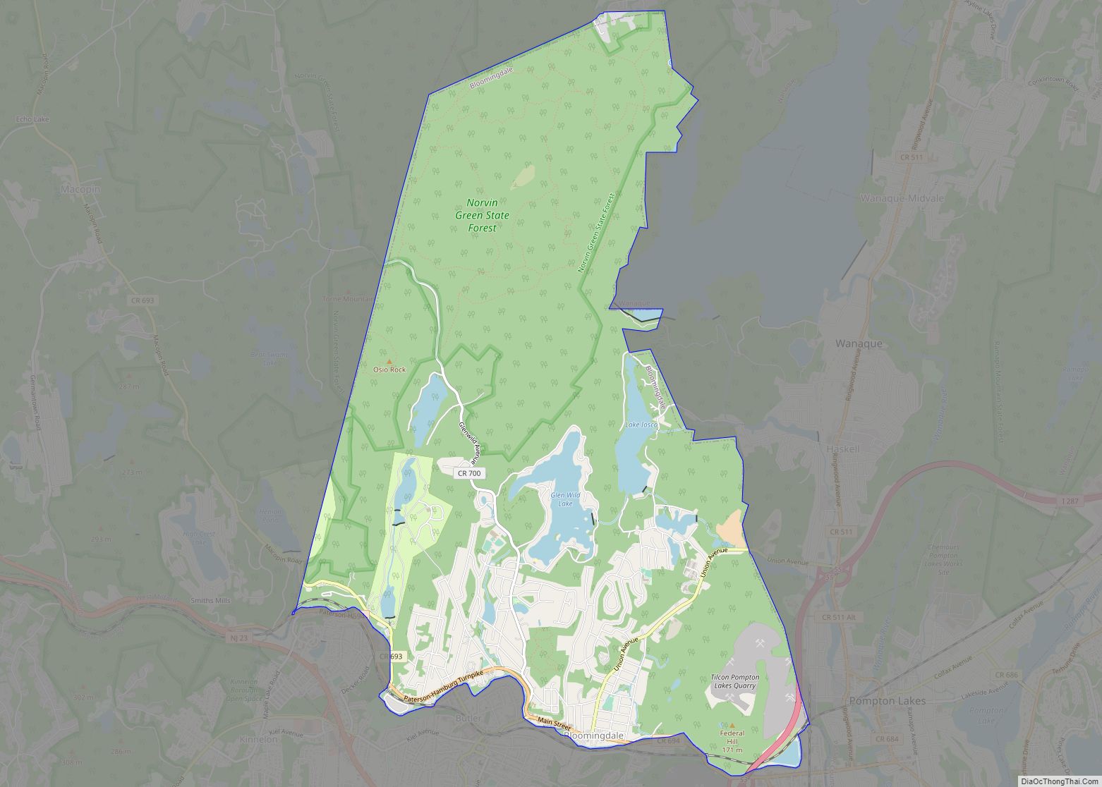
Woodland Park Road Map
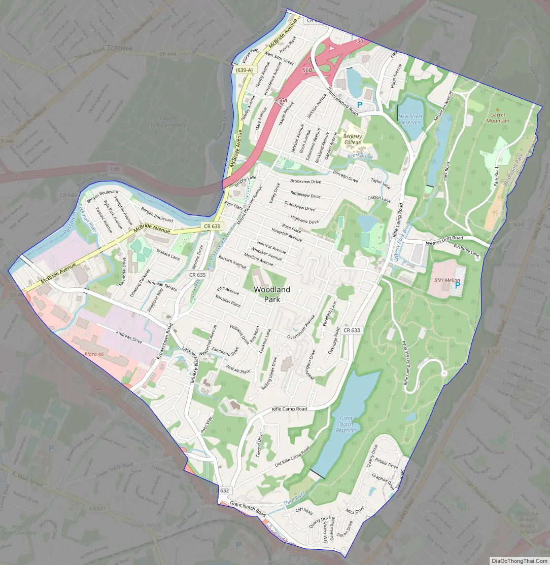
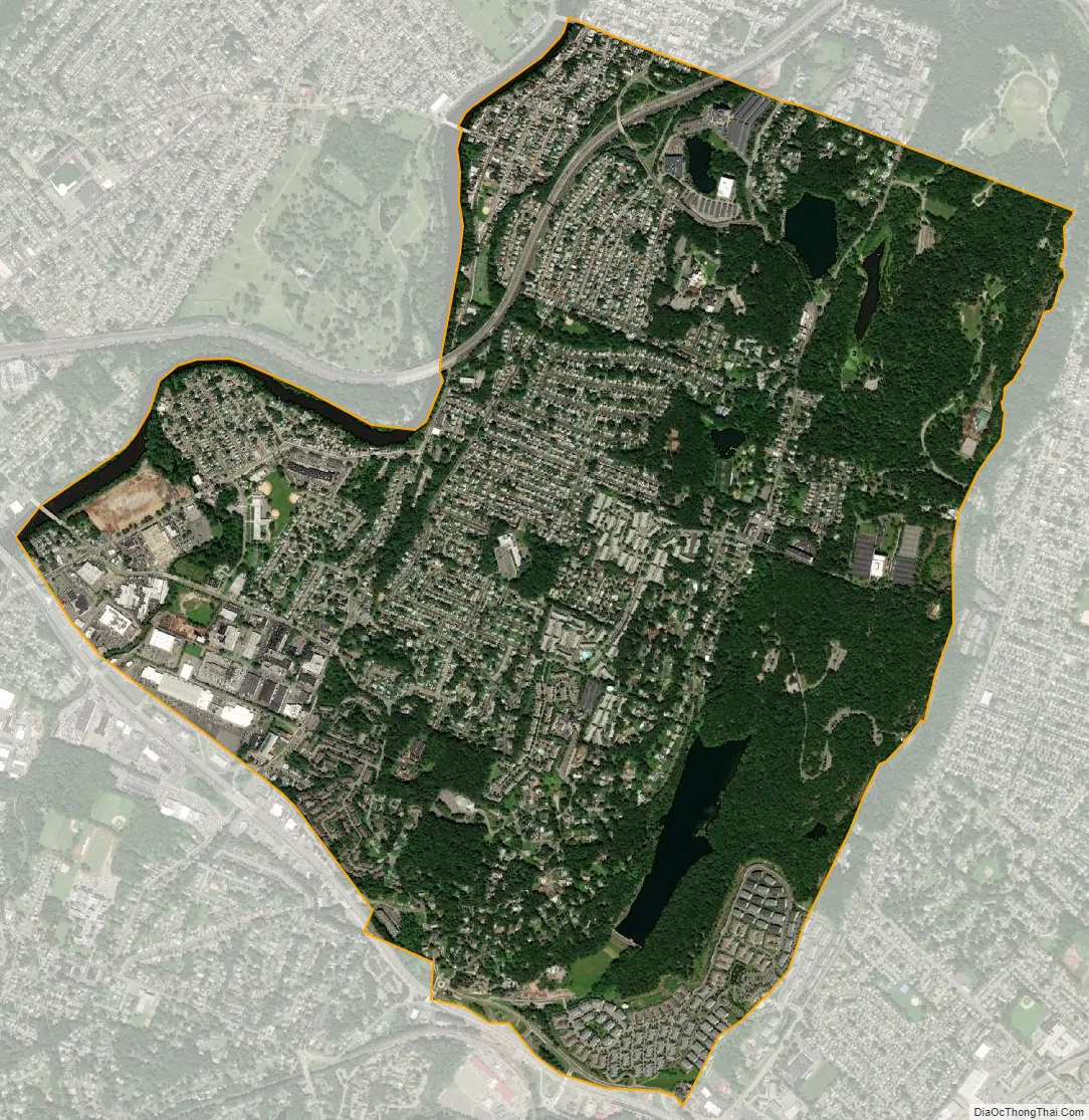
Woodland Park city Satellite Map
Geography
According to the United States Census Bureau, the borough had a total area of 3.08 square miles (7.97 km), including 2.94 square miles (7.61 km) of land and 0.14 square miles (0.36 km) of water (4.51%).
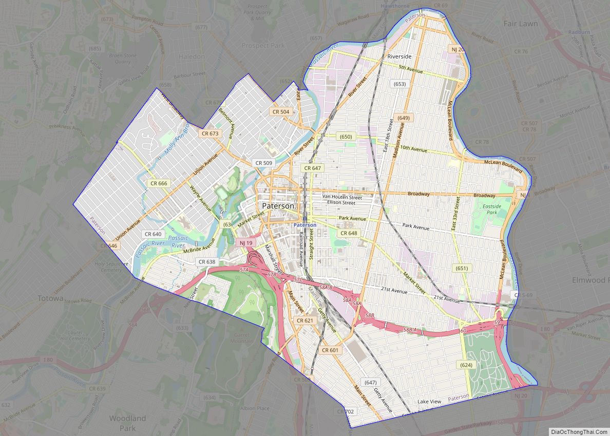
Slippery Rock Brook is a tributary of the Passaic River that flows north as it drains part of the western flank of First Watchung Mountain. Traveling south from its confluence with the Passaic River, it passes through the city of Paterson and the borough of Woodland Park.
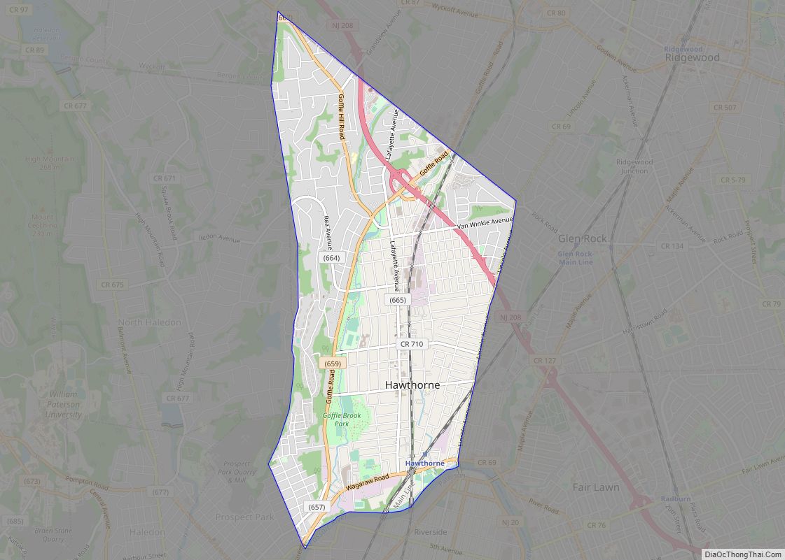
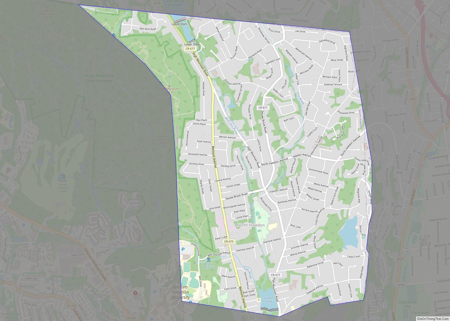
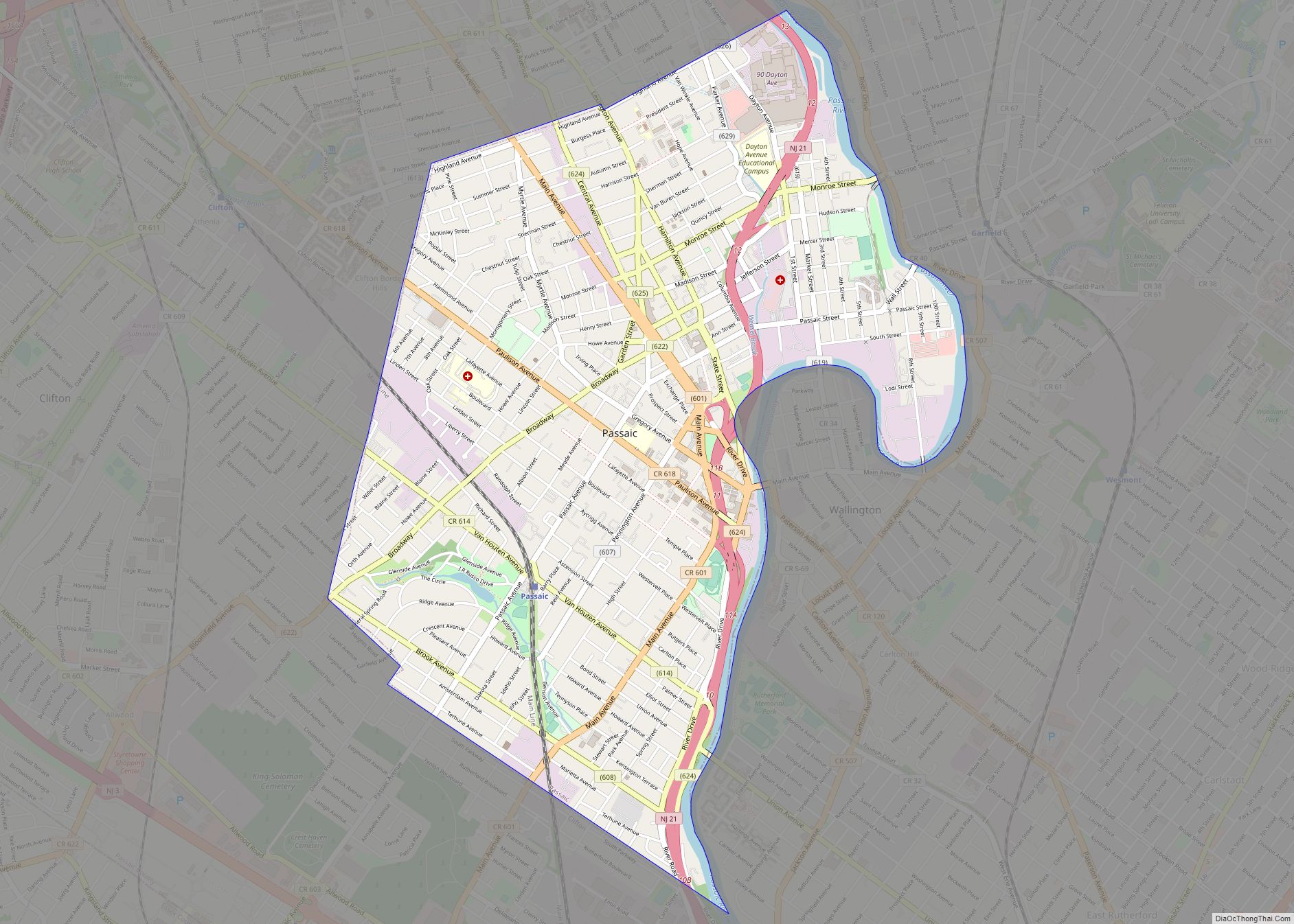
The borough borders the Passaic County municipalities of Clifton, Little Falls, Paterson and Totowa.
Borough renaming
Borough residents voted in November 2008 to change the community’s name to Woodland Park. This close decision—the majority was only 33 votes according to early results—marked the fourth attempt to change the borough’s historic name of West Paterson: voters rejected the names “Whispering Pines”, “West Park,” and “Garret Mountain” in 1989, 1995, and 2001 respectively.
Such a change is not unique in recent New Jersey history: Dover Township in Ocean County became Toms River Township in November 2006, and Washington Township in Mercer County became Robbinsville Township in November 2007. The borough of East Paterson, located in adjacent Bergen County, changed its name to Elmwood Park in 1972.
Both East and West Paterson changed their names in hopes of dissociating themselves from the larger city of Paterson, which is significantly poorer and faces higher levels of crime, while preserving their E.P. and W.P. initials. In West Paterson, proponents of name change argued that their proposal would improve the borough’s reputation and thus property values within the borough, as outsiders would be less likely to confuse it with Paterson. Opponents of the renaming saw no need to change, with businesses and the fire department citing the cost of changing references to the borough’s name and the consequences of forgetting the community’s history as West Paterson. The name change has been marred with accusations of racism and discrimination due to the city of Paterson’s lower quality of life and diverse minority demographics. Some Paterson residents and advocates have jokingly suggested renaming Paterson to East Woodland Park and West Elmwood Park.
Residents who voted “No” to the name change petitioned the municipal government in an attempt to change the name back to West Paterson. A referendum was held on November 3, 2009, and the proposal was defeated by 2,248 votes to 2,216.
There is an unincorporated area called Woodland Park in the city of Summit, in Union County, adjacent to New Providence.
See also
Map of New Jersey State and its subdivision: Map of other states:- Alabama
- Alaska
- Arizona
- Arkansas
- California
- Colorado
- Connecticut
- Delaware
- District of Columbia
- Florida
- Georgia
- Hawaii
- Idaho
- Illinois
- Indiana
- Iowa
- Kansas
- Kentucky
- Louisiana
- Maine
- Maryland
- Massachusetts
- Michigan
- Minnesota
- Mississippi
- Missouri
- Montana
- Nebraska
- Nevada
- New Hampshire
- New Jersey
- New Mexico
- New York
- North Carolina
- North Dakota
- Ohio
- Oklahoma
- Oregon
- Pennsylvania
- Rhode Island
- South Carolina
- South Dakota
- Tennessee
- Texas
- Utah
- Vermont
- Virginia
- Washington
- West Virginia
- Wisconsin
- Wyoming