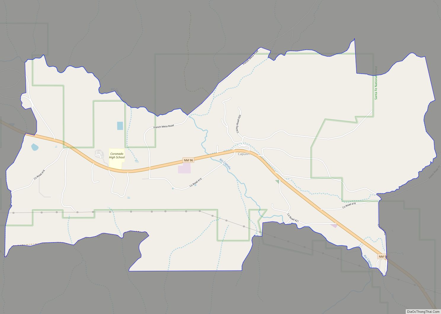
Map of Glenwood CDP, New Mexico

Map of Glenwood CDP, New Mexico

Glenwood is a census-designated place in Catron County, New Mexico, United States. As of the 2010 census it had a population of 143. The area was founded in 1878 as Bush Ranch. Located near the San Francisco River, Glenwood is 61 miles (98 km) northwest of Silver City on U.S. Route 180, and is 38 miles … Read more

Map of Glen Acres CDP

Map of Glen Acres CDP

Glen Acres is a census-designated place in Hidalgo County, New Mexico, United States. Its population was 208 as of the 2010 census. The community is located along U.S. Route 70. The community’s streets are named after golfers (e.g. Sam Sneed (sic) Drive, Lee Trevino Drive, Tom Shaw Road). Glen Acres CDP overview: Name: Glen Acres … Read more

Map of Gila CDP

Map of Gila CDP

Gila is a census-designated place in Grant County, New Mexico, United States. It is 48 kilometres (30 mi) northwest of the county seat, Silver City. Its population was 314 as of the 2010 census. The community is located in the irrigated valley of the Gila River in the midst of hilly and mountainous semi-arid terrain. The … Read more

Map of Garfield CDP, New Mexico

Map of Garfield CDP, New Mexico

Garfield is a census-designated place in Doña Ana County, New Mexico, United States. Its population was 137 at the time of the 2010 census. Garfield has a post office with ZIP code 87936, which opened on September 19, 1896. The community is located on New Mexico State Road 187 south of Exit 51 of Interstate … Read more

Map of Hernandez CDP

Map of Hernandez CDP

Hernandez is an unincorporated community and census-designated place in Rio Arriba County, New Mexico, United States. Hernandez is approximately 5 miles (8.0 km) northwest of Española on highway US 84 / US 285. Hernandez CDP overview: Name: Hernandez CDP LSAD Code: 57 LSAD Description: CDP (suffix) State: New Mexico County: Rio Arriba County FIPS code: 3532100 Online Interactive … Read more

Map of Hatch village

Map of Hatch village, New Mexico

Hatch is a village in Doña Ana County, New Mexico, United States. The population was 1,648 at the 2010 census. The town is experiencing moderate growth, along with its outliers of Salem, Arrey, Derry, and Rincon. Hatch is widely known as the “best chili place in the World,” for growing a wide variety of peppers, … Read more

Map of Happy Valley CDP, New Mexico

Map of Happy Valley CDP, New Mexico

Happy Valley is an unincorporated community and census-designated place in Eddy County, New Mexico, United States. Its population was 519 as of the 2010 census. The community is located on the western edge of Carlsbad; New Mexico State Road 524 passes through the area. The town was settled as a farming community before potash was … Read more

Map of Hanover CDP, New Mexico

Map of Hanover CDP, New Mexico

Hanover is a census-designated place in Grant County, New Mexico, United States. Its population was 167 as of the 2010 census. Hanover has a post office with ZIP code 88041. New Mexico State Road 152 and New Mexico State Road 356 pass through the community. The town was named after the local Hanover Mines. Sofio … Read more

Map of Hagerman town, New Mexico

Map of Hagerman town, New Mexico

Hagerman is a town in Chaves County, New Mexico, United States. The population was 1,251 at the 2010 census. Hagerman town overview: Name: Hagerman town LSAD Code: 43 LSAD Description: town (suffix) State: New Mexico County: Chaves County Elevation: 3,422 ft (1,043 m) Total Area: 1.36 sq mi (3.51 km²) Land Area: 1.36 sq mi (3.51 km²) Water Area: 0.00 sq mi (0.00 km²) Total Population: … Read more

Map of Hachita CDP

Map of Hachita CDP

Hachita is a census-designated place in Grant County, New Mexico, United States. Its population was 49 as of the 2010 census. Hachita has a post office with ZIP code 88040. New Mexico State Road 9, New Mexico State Road 81, and New Mexico State Road 146 pass through the community. Hachita should not be confused … Read more

Map of Grenville village

Map of Grenville village, New Mexico

Grenville is a village in Union County, New Mexico, United States. The population was 38 at the 2010 census. The village lost population for much of the twentieth century, but recent economic success bodes well. Grenville village overview: Name: Grenville village LSAD Code: 47 LSAD Description: village (suffix) State: New Mexico County: Union County Elevation: … Read more

Map of Grants city

Map of Grants city

Grants is a city in Cibola County, New Mexico, United States. It is located about 78 miles (126 km) west of Albuquerque. The population was 9,163 at the 2020 Census. It is the county seat of Cibola County. Grants is located along the Trails of the Ancients Byway, one of the designated New Mexico Scenic Byways. … Read more