Hatch is a village in Doña Ana County, New Mexico, United States. The population was 1,648 at the 2010 census. The town is experiencing moderate growth, along with its outliers of Salem, Arrey, Derry, and Rincon. Hatch is widely known as the “best chili place in the World,” for growing a wide variety of peppers, especially the New Mexican cuisine staple, and one of New Mexico’s state vegetables, the New Mexico chile.
| Name: | Hatch village |
|---|---|
| LSAD Code: | 47 |
| LSAD Description: | village (suffix) |
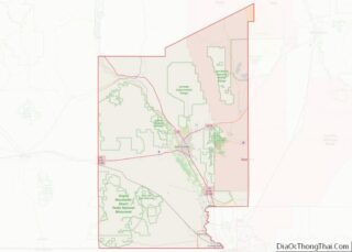
| State: | New Mexico |
| County: | Doña Ana County |
| Elevation: | 4,058 ft (1,237 m) |
| Total Area: | 3.06 sq mi (7.94 km²) |
| Land Area: | 3.00 sq mi (7.78 km²) |
| Water Area: | 0.06 sq mi (0.16 km²) |
| Total Population: | 1,539 |
| Population Density: | 512.15/sq mi (197.75/km²) |
| ZIP code: | 87937 |
| Area code: | Area code 575 |
| FIPS code: | 3531820 |
| Website: | villageofhatch.org |
Online Interactive Map
Click on ![]() to view map in "full screen" mode.
to view map in "full screen" mode.
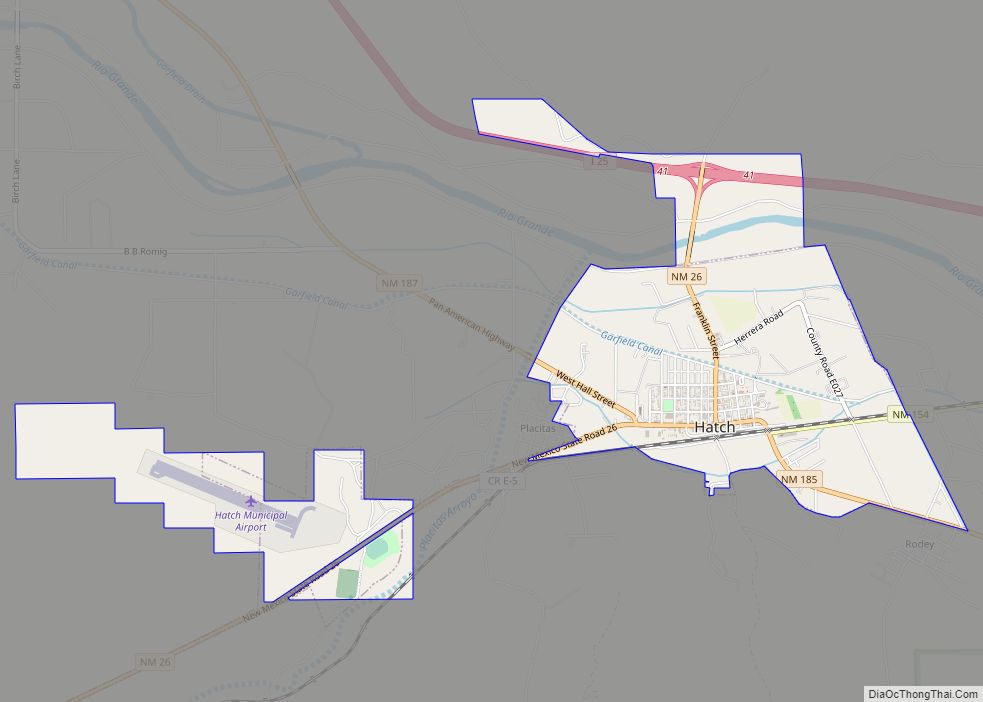
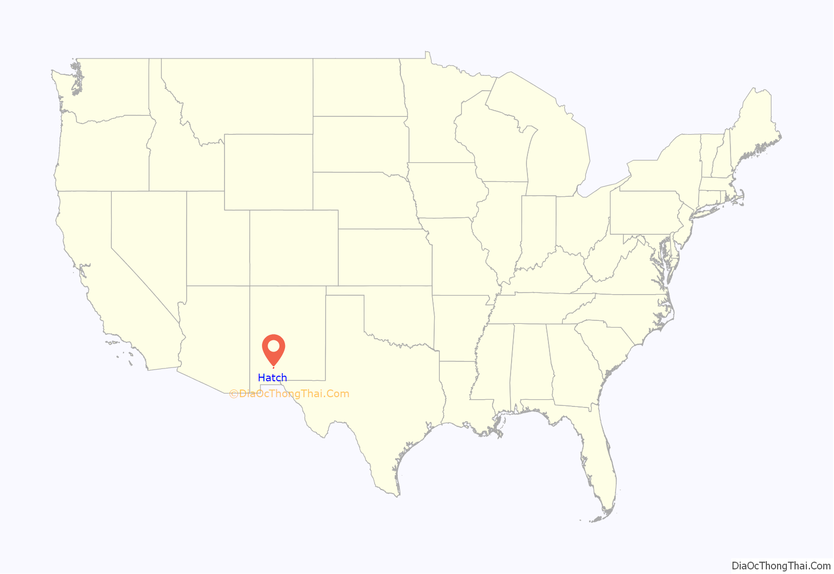
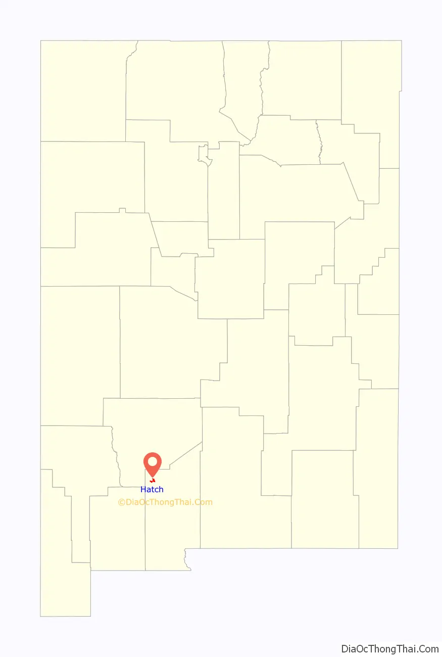
Hatch location map. Where is Hatch village?
History
Hatch was originally settled as Santa Barbara in 1851; however, Apache raids drove the farmers away until 1853, when the nearby Fort Thorn was established. Fort Thorn closed in 1859, and the town was abandoned again in 1860. It was not until 1875 that it was re-occupied and at that time it was renamed “Hatch” for Indian fighter Edward Hatch, who was then commander of the military District of New Mexico .
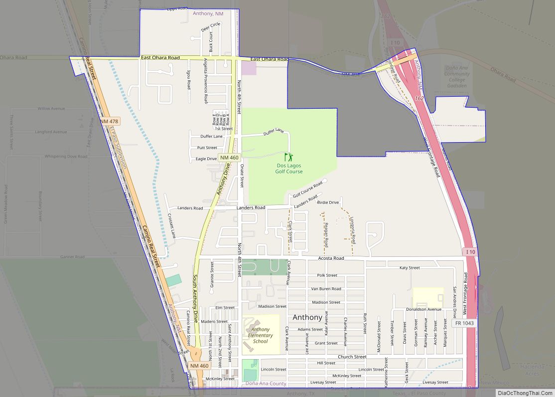
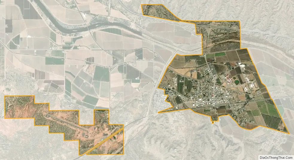
Hatch Road Map

Hatch city Satellite Map
Geography
Hatch is located at 32°39′54″N 107°9′31″W / 32.66500°N 107.15861°W / 32.66500; -107.15861 (32.664919, -107.158668).
According to the United States Census Bureau, the village has a total area of 3.1 square miles (8.0 km), all land.
The village is located just off Interstate 25, about 40 miles (64 km) northwest of Las Cruces, and approximately 80 miles (130 km) northwest of El Paso, Texas.
See also
Map of New Mexico State and its subdivision: Map of other states:- Alabama
- Alaska
- Arizona
- Arkansas
- California
- Colorado
- Connecticut
- Delaware
- District of Columbia
- Florida
- Georgia
- Hawaii
- Idaho
- Illinois
- Indiana
- Iowa
- Kansas
- Kentucky
- Louisiana
- Maine
- Maryland
- Massachusetts
- Michigan
- Minnesota
- Mississippi
- Missouri
- Montana
- Nebraska
- Nevada
- New Hampshire
- New Jersey
- New Mexico
- New York
- North Carolina
- North Dakota
- Ohio
- Oklahoma
- Oregon
- Pennsylvania
- Rhode Island
- South Carolina
- South Dakota
- Tennessee
- Texas
- Utah
- Vermont
- Virginia
- Washington
- West Virginia
- Wisconsin
- Wyoming