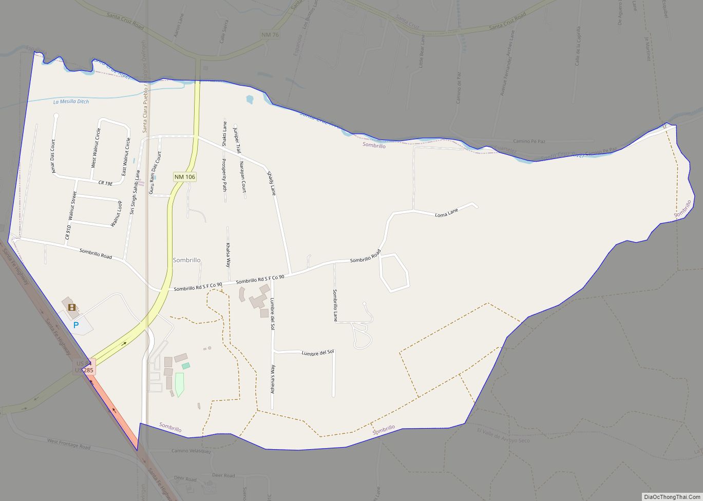
Map of Soham CDP

Map of Soham CDP

Soham is an unincorporated community and census-designated place in San Miguel County, New Mexico, United States. Its population was 210 as of the 2010 census. The community is located near Exit 319 on Interstate 25. Soham CDP overview: Name: Soham CDP LSAD Code: 57 LSAD Description: CDP (suffix) State: New Mexico County: San Miguel County … Read more

Map of Socorro city

Map of Socorro city, New Mexico

Socorro (/səˈkɔːroʊ/, sə-KOR-oh) is a city in Socorro County in the U.S. state of New Mexico. It is in the Rio Grande Valley at an elevation of 4,579 feet (1,396 m). In 2010 the population was 9,051. It is the county seat of Socorro County. Socorro is located 74 miles (119 km) south of Albuquerque and 146 … Read more

Map of Skyline-Ganipa CDP

Map of Skyline-Ganipa CDP

Skyline-Ganipa is a census-designated place (CDP) in Cibola County, New Mexico, United States. The population was 1,224 at the 2010 census. Skyline-Ganipa CDP overview: Name: Skyline-Ganipa CDP LSAD Code: 57 LSAD Description: CDP (suffix) State: New Mexico County: Cibola County Total Area: 7.81 sq mi (20.22 km²) Land Area: 7.81 sq mi (20.22 km²) Water Area: 0.00 sq mi (0.00 km²) Total Population: 1,614 … Read more

Map of Silver City town, New Mexico

Map of Silver City town, New Mexico

Silver City is a town in Grant County, New Mexico, United States. It is the county seat and the home of Western New Mexico University. As of the 2010 census the population was 10,315. As of the 2020 census, the population was 9,704. Silver City town overview: Name: Silver City town LSAD Code: 43 LSAD … Read more

Map of Shiprock CDP

Map of Shiprock CDP

Shiprock (Navajo: Naatʼáanii Nééz) is an unincorporated community on the Navajo reservation in San Juan County, New Mexico, United States. The population was 7,718 people in the 2020 census. For statistical purposes, the United States Census Bureau has defined Shiprock as a census-designated place (CDP). It is part of the Farmington Metropolitan Statistical Area. Shiprock … Read more

Map of Sheep Springs CDP

Map of Sheep Springs CDP

Sheep Springs (Navajo: Tó Hałtsooí) is a census-designated place (CDP) in San Juan County, New Mexico, United States. The population was 237 at the 2000 census. It is part of the Farmington Metropolitan Statistical Area. Sheep Springs CDP overview: Name: Sheep Springs CDP LSAD Code: 57 LSAD Description: CDP (suffix) State: New Mexico County: San … Read more

Map of Talpa CDP

Map of Talpa CDP

Talpa is a settlement in Taos County, New Mexico, located 6 miles (10 kilometers) south of the town of Taos along New Mexico Highway 518. Talpa CDP overview: Name: Talpa CDP LSAD Code: 57 LSAD Description: CDP (suffix) State: New Mexico County: Taos County FIPS code: 3576130 Online Interactive Map Talpa online map. Source: Basemap … Read more

Map of Tajique CDP

Map of Tajique CDP

Tajique is a census-designated place (CDP) in Torrance County, New Mexico, United States. The population was 148 at the 2000 census. It is part of the Albuquerque Metropolitan Statistical Area. Tajique CDP overview: Name: Tajique CDP LSAD Code: 57 LSAD Description: CDP (suffix) State: New Mexico County: Torrance County Elevation: 6,703 ft (2,043 m) Total Area: 2.70 sq mi … Read more

Map of Sunshine CDP, New Mexico

Map of Sunshine CDP, New Mexico

Sunshine is a census-designated place in Luna County, New Mexico, United States. Its population was 420 as of the 2010 census. New Mexico State Road 11 passes through the community. Sunshine CDP overview: Name: Sunshine CDP LSAD Code: 57 LSAD Description: CDP (suffix) State: New Mexico County: Luna County Elevation: 4,249 ft (1,295 m) Total Area: 17.64 sq mi … Read more

Map of Sunland Park city

Map of Sunland Park city

Sunland Park is a city in southern Doña Ana County, New Mexico, United States, on the borders of Texas and the Mexican state of Chihuahua, with Ciudad Juárez adjoining it on the south and El Paso, Texas on the east. The community of Santa Teresa adjoins it on the northwest. The population of Sunland Park … Read more

Map of Springer town

Map of Springer town, New Mexico

Springer is a town in Colfax County, New Mexico, United States. Its population was 1,047 at the 2010 census. Springer town overview: Name: Springer town LSAD Code: 43 LSAD Description: town (suffix) State: New Mexico County: Colfax County Elevation: 5,797 ft (1,767 m) Total Area: 2.26 sq mi (5.84 km²) Land Area: 2.20 sq mi (5.71 km²) Water Area: 0.05 sq mi (0.13 km²) Total Population: … Read more

Map of Tecolote CDP

Map of Tecolote CDP

Tecolote is an unincorporated community and census-designated place in San Miguel County, New Mexico, United States. Its population was 298 as of the 2010 census. The community is located along Interstate 25 at Exit 335. Tecolote CDP overview: Name: Tecolote CDP LSAD Code: 57 LSAD Description: CDP (suffix) State: New Mexico County: San Miguel County … Read more