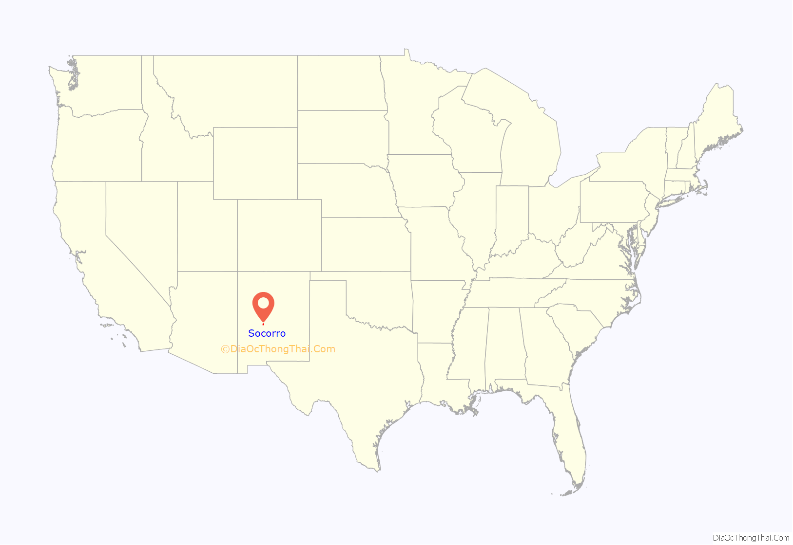
Socorro (/səˈkɔːroʊ/, sə-KOR-oh) is a city in Socorro County in the U.S. state of New Mexico. It is in the Rio Grande Valley at an elevation of 4,579 feet (1,396 m). In 2010 the population was 9,051. It is the county seat of Socorro County. Socorro is located 74 miles (119 km) south of Albuquerque and 146 miles (235 km) north of Las Cruces.
| Name: | Socorro city |
|---|---|
| LSAD Code: | 25 |
| LSAD Description: | city (suffix) |
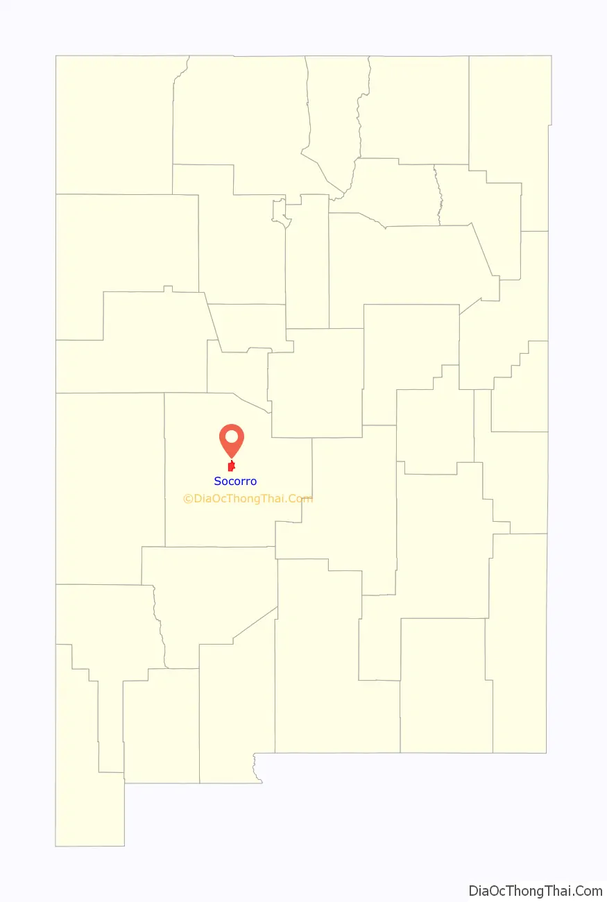
| State: | New Mexico |
| County: | Socorro County |
| Elevation: | 4,603 ft (1,403 m) |
| Total Area: | 14.46 sq mi (37.46 km²) |
| Land Area: | 14.45 sq mi (37.43 km²) |
| Water Area: | 0.01 sq mi (0.03 km²) |
| Total Population: | 8,707 |
| Population Density: | 602.39/sq mi (232.59/km²) |
| ZIP code: | 87801 |
| Area code: | 575 |
| FIPS code: | 3573540 |
| GNISfeature ID: | 0938832 |
| Website: | www.socorronm.gov |
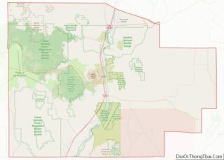
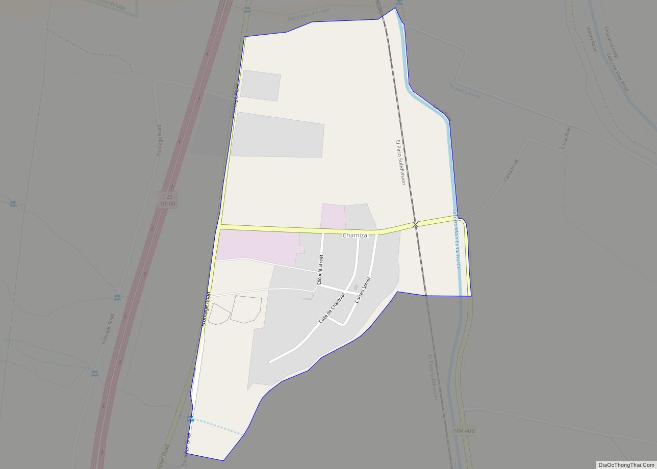
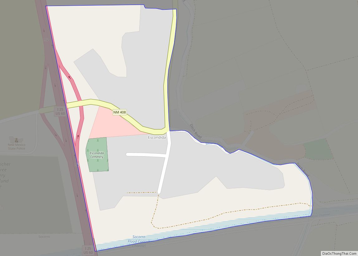
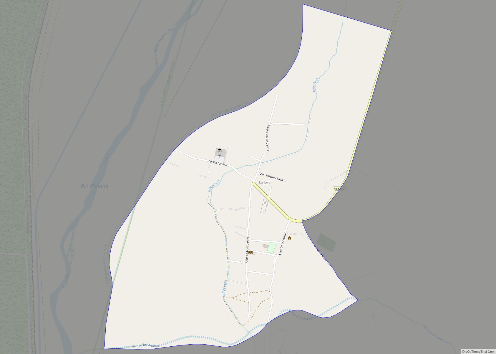
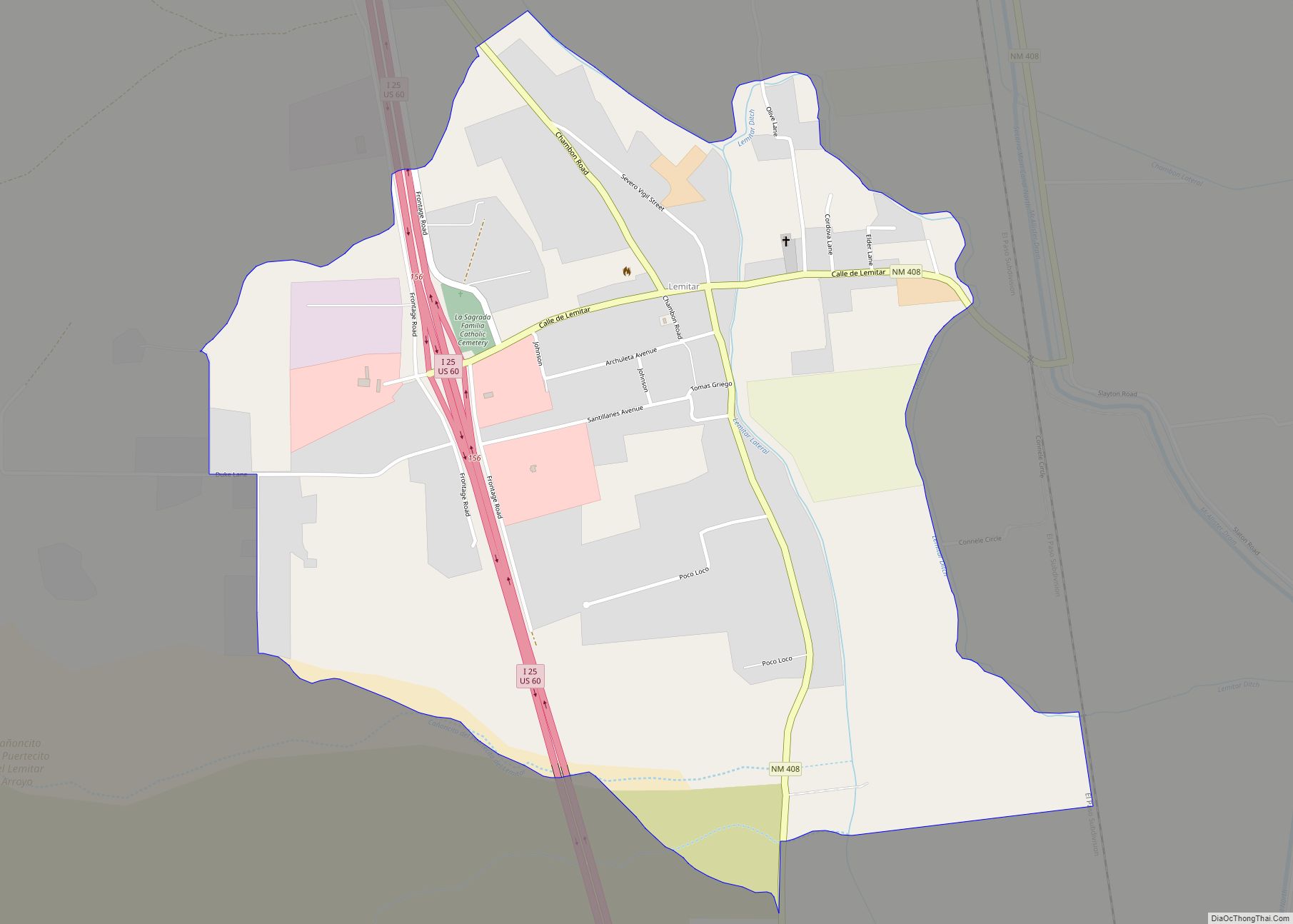
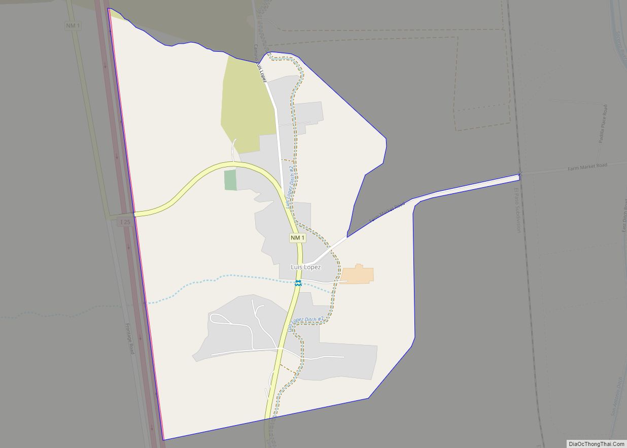
Online Interactive Map
Click on ![]() to view map in "full screen" mode.
to view map in "full screen" mode.
Socorro location map. Where is Socorro city?
History
Founding
In June 1598, Juan de Oñate led a group of Spanish settlers through the Jornada del Muerto, an inhospitable patch of desert that ends just south of the present-day city of Socorro. As the Spaniards emerged from the desert, Piro Indians of the pueblo of Teypana gave them food and water. Therefore, the Spaniards renamed this pueblo Socorro, which means “help” or “aid”. Later, the name “Socorro” would be applied to the nearby Piro pueblo of Pilabó.
Nuestra Señora de Perpetuo Socorro, the first Catholic mission in the area, was probably established c. 1626. Fray Agustín de Vetancurt would later write that around 600 people lived in the area during this period. Mines in the Socorro mountains were opened by 1626.
During the Pueblo Revolt of 1680, Spanish refugees stopped in the pueblo of Socorro. A number of Piro Indians followed the Spaniards as they left the province to go south to safety. With no protection of Spanish troops, Socorro was destroyed and the remaining Piro were killed by the Apache and other tribes.
The Spanish did not initially resettle Socorro when they re-conquered New Mexico. Other than El Paso, there were no Spanish settlements south of Sabinal (which is approximately 30 miles (48 km) north of Socorro) until the 1800s. In 1800, governor Fernando Chacon gave the order to resettle Socorro and other villages in the area. However, Socorro was not resettled until about 1815. In 1817, 70 Belen residents petitioned the crown for land in Socorro. The 1833 Socorro census lists over 400 residents, with a total of 1,774 people living within the vicinity of the village.
The mission of San Miguel de Socorro was established soon after Socorro was resettled. The church was built on the ruins of the old Nuestra Señora de Socorro.
Territorial period
In August 1846, during the Mexican–American War, New Mexico was occupied by the American Army. In Las Vegas, New Mexico, Colonel Stephen W. Kearny proclaimed New Mexico’s independence from Mexico. On their way to begin their assault on Mexico, American troops stopped in Socorro. A British officer, Lt. George Ruxton, commented that these soldiers were “unwashed and unshaven, were ragged and dirty, without uniforms…” and were lacking in discipline.
In September 1850, New Mexico became a territory of the United States. At the time, New Mexico encompassed what is now the states of New Mexico and Arizona. In 1850, the population of Socorro was only 543 people. This included 100 American soldiers who were soon moved to Valverde.
The first military post built near Socorro was Fort Conrad, 30 miles (48 km) south of the town. Built in August 1851, the fort was badly constructed and was abandoned for Fort Craig, located a few miles away. Fort Craig was first occupied on March 31, 1854.
The New Mexico School of Mines (now the New Mexico Institute of Mining and Technology) was founded in Socorro in 1889.
On April 24, 1964, Lonnie Zamora, a local policeman, claimed to have observed a flying saucer and two little beings. Zamora’s claim is known as the Lonnie Zamora incident.
Socorro Road Map
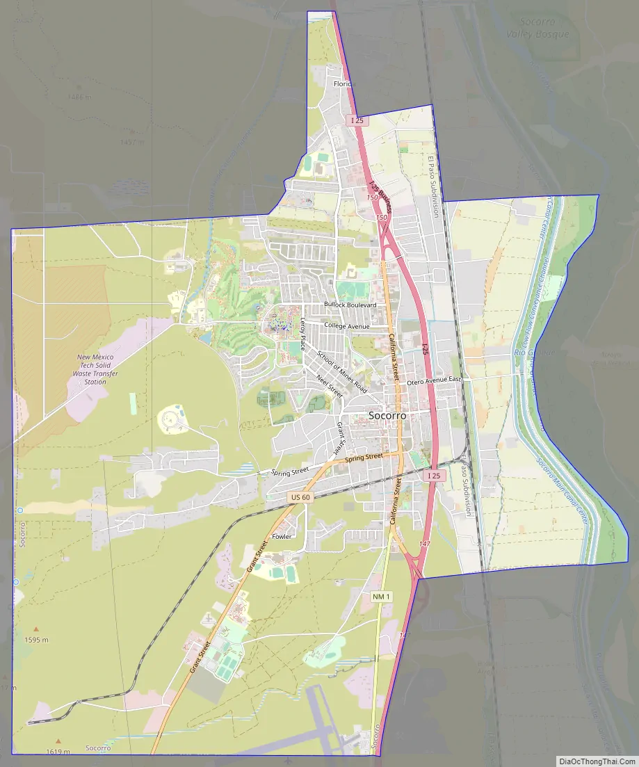
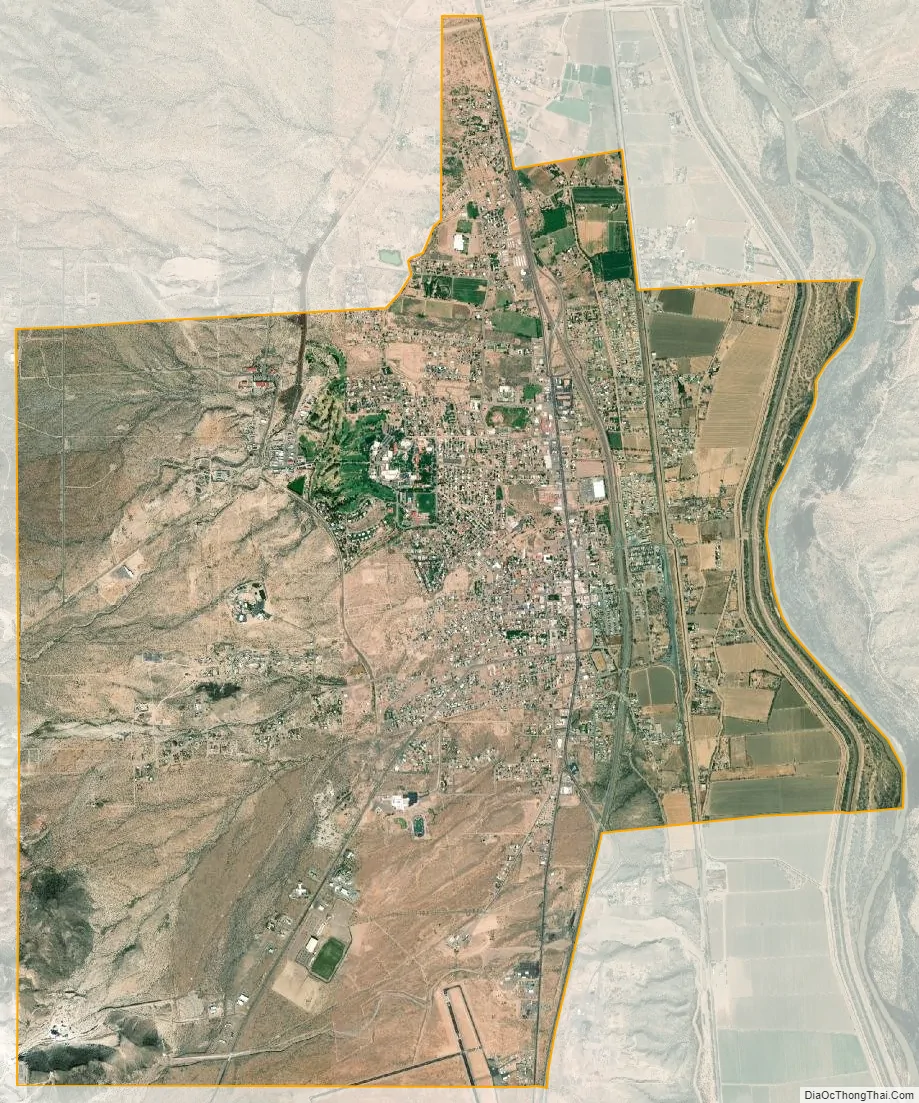
Socorro city Satellite Map
Geography
Socorro is located 75 miles (121 km) south of Albuquerque, at an average elevation of 4,605 feet (1,404 m). The town lies adjacent to the Rio Grande in a landscape dominated by the Rio Grande rift and numerous extinct volcanoes. The immediate region encompasses approximately 6,000 feet (1,800 m) of vertical relief between the Rio Grande and the Magdalena Mountains. Notable nearby locales include the Cibola National Forest, the Bureau of Land Management Quebradas Scenic Backcountry Byway, and the Bosque del Apache and Sevilleta National Wildlife Refuges. According to the United States Census Bureau, the city has a total area of 14.4 square miles (37 km), of which 0.04 square miles (0.10 km), or 0.21%, is water.
Climate
Socorro has a cold semi-arid climate (BSk). Summers are hot, reaching 90 °F (32 °C) on an average of 82 days annually. Winters are mild, but nights are cold with 126 days falling to or below freezing per year. The record high temperature of 109 °F (43 °C) was recorded on June 26, 1994, while the record low of −16 °F (−27 °C) was recorded on December 21, 1909.
Socorro averages 10.05 inches (255 mm) of annual precipitation, with a peak of 2.43 inches (62 mm) in July.
See also
Map of New Mexico State and its subdivision: Map of other states:- Alabama
- Alaska
- Arizona
- Arkansas
- California
- Colorado
- Connecticut
- Delaware
- District of Columbia
- Florida
- Georgia
- Hawaii
- Idaho
- Illinois
- Indiana
- Iowa
- Kansas
- Kentucky
- Louisiana
- Maine
- Maryland
- Massachusetts
- Michigan
- Minnesota
- Mississippi
- Missouri
- Montana
- Nebraska
- Nevada
- New Hampshire
- New Jersey
- New Mexico
- New York
- North Carolina
- North Dakota
- Ohio
- Oklahoma
- Oregon
- Pennsylvania
- Rhode Island
- South Carolina
- South Dakota
- Tennessee
- Texas
- Utah
- Vermont
- Virginia
- Washington
- West Virginia
- Wisconsin
- Wyoming