Map of Taos Ski Valley village
Taos Ski Valley is a village and alpine ski resort in the southwestern United States, located in Taos County, New Mexico. The population was 69 at the 2010 census. Until March 19, 2008, it was one of four ski resorts in America to prohibit snowboarding. The Kachina lift, constructed in 2014, serves one of the ... Read more
Map of Taos Ski Valley village
Map of Taos Pueblo CDP
Taos Pueblo is a census-designated place (CDP) in Taos County, New Mexico, just north of Taos. The population was 1,264 at the 2000 census. Taos Pueblo CDP overview: Name: Taos Pueblo CDP LSAD Code: 57 LSAD Description: CDP (suffix) State: New Mexico County: Taos County Elevation: 7,119 ft (2,170 m) Total Area: 15.60 sq mi (40.40 km²) Land Area: 15.60 sq mi ... Read more
Map of Taos Pueblo CDP
Map of Talpa CDP
Talpa is a settlement in Taos County, New Mexico, located 6 miles (10 kilometers) south of the town of Taos along New Mexico Highway 518. Talpa CDP overview: Name: Talpa CDP LSAD Code: 57 LSAD Description: CDP (suffix) State: New Mexico County: Taos County FIPS code: 3576130 Online Interactive Map Talpa online map. Source: Basemap ... Read more
Map of Talpa CDP
Map of Tajique CDP
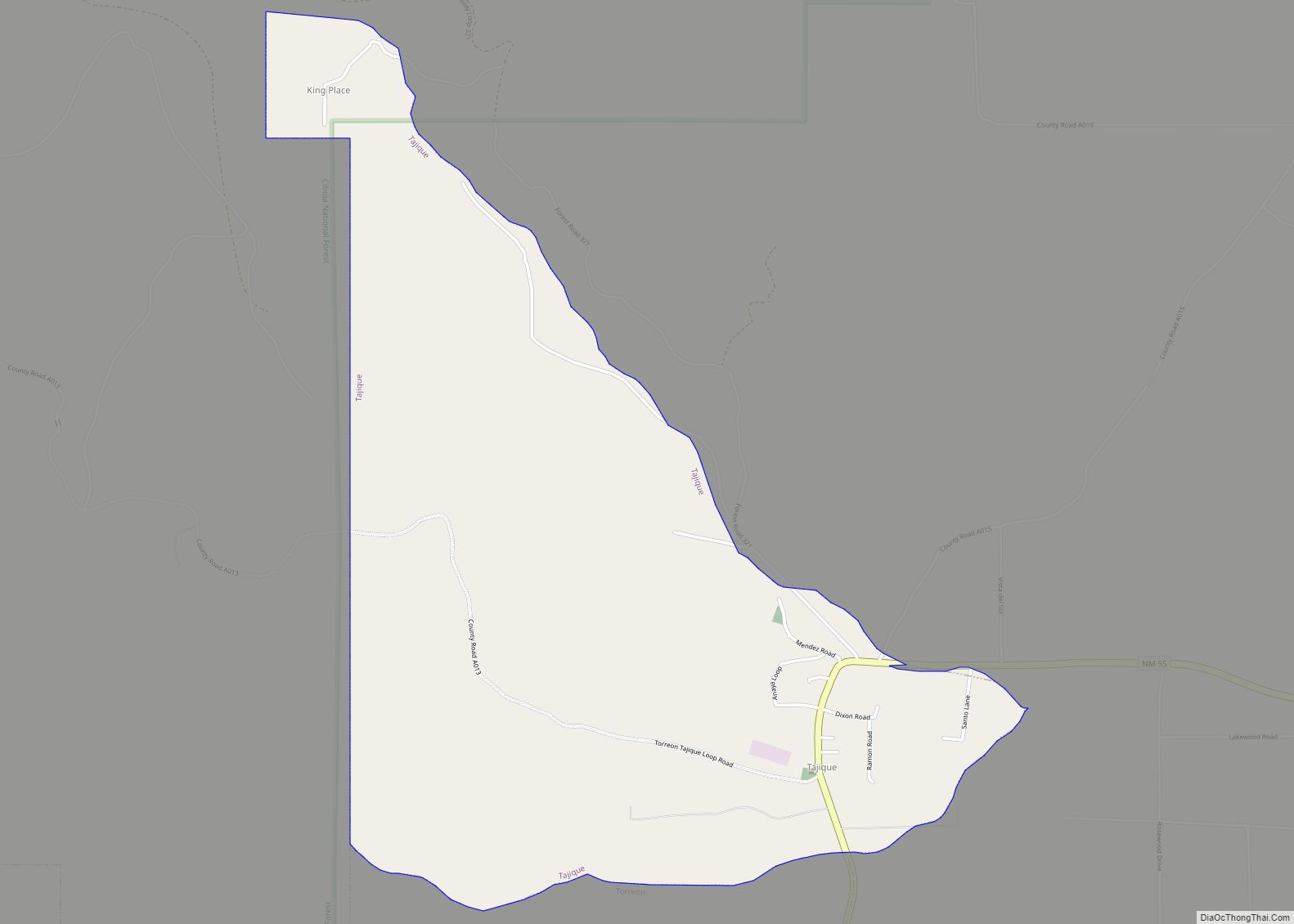
Tajique is a census-designated place (CDP) in Torrance County, New Mexico, United States. The population was 148 at the 2000 census. It is part of the Albuquerque Metropolitan Statistical Area. Tajique CDP overview: Name: Tajique CDP LSAD Code: 57 LSAD Description: CDP (suffix) State: New Mexico County: Torrance County Elevation: 6,703 ft (2,043 m) Total Area: 2.70 sq mi ... Read more
Map of Tajique CDP
Map of Tohatchi CDP
Tohatchi (Navajo: Tó Haachʼiʼ) is a census-designated place (CDP) in McKinley County, New Mexico, United States. It is known as a health-services and education hub along Highway 491. Its population was reported to be 785 at the 2020 census. As Tohatchi is located on the Navajo Nation, it is designated federal trust land. Tohatchi CDP ... Read more
Map of Tohatchi CDP
Map of Timberon CDP
Timberon is a census-designated place (CDP) in Otero County, New Mexico, United States, and is within the Sacramento Mountains at the southern edge of the Lincoln National Forest. The population was 309 at the 2000 census. Timberon has a nine-hole golf course, as well as a lodge, a pool, a church, an airstrip and a ... Read more
Map of Timberon CDP
Map of Tijeras village
Tijeras is a village in Bernalillo County, New Mexico, United States. The population was 541 at the 2010 census. It is part of the Albuquerque metropolitan area. Tijeras village overview: Name: Tijeras village LSAD Code: 47 LSAD Description: village (suffix) State: New Mexico County: Bernalillo County Elevation: 6,322 ft (1,927 m) Total Area: 1.14 sq mi (2.95 km²) Land Area: ... Read more
Map of Tijeras village
Map of Tierra Amarilla CDP
Tierra Amarilla is a census-designated place in and the county seat of Rio Arriba County, New Mexico, United States. Tierra Amarilla is Spanish for “Yellow Earth”. The name refers to clay deposits found in the Chama River Valley and used by Native American peoples. Tewa and Navajo toponyms for the area also refer to the ... Read more
Map of Tierra Amarilla CDP
Map of Thoreau CDP
Thoreau (Navajo: Dlǫ́ʼí Yázhí) is a census-designated place (CDP) in McKinley County, New Mexico, United States. The population was 1,863 at the 2000 census. It is majority Native American, primarily of the Navajo Nation, as this community is located within its boundaries. Practically all residents pronounce the town’s name like “thuh-ROO” (similar to “through” or ... Read more
Map of Thoreau CDP
Map of Texico city
Texico is a city in Curry County, New Mexico, United States. Its population was 1,130 at the 2010 census. The city is located on the Texas-New Mexico border with the town of Farwell across the border. Texico city overview: Name: Texico city LSAD Code: 25 LSAD Description: city (suffix) State: New Mexico County: Curry County ... Read more
Map of Texico city
Map of Tesuque CDP
Tesuque /təˈsuːki/ (Tewa: Tetsʼúgéh Ówîngeh / Tetsugé Oweengé [tèʔts’úgé ʔówîŋgè]) is a census-designated place (CDP) in Santa Fe County, New Mexico, United States. It is part of the Santa Fe, New Mexico, Metropolitan Statistical Area. The population was 909 at the 2000 census. The area is separate from but located near Tesuque Pueblo, a member ... Read more
Map of Tesuque CDP
Map of Tesuque Pueblo CDP
Tesuque Pueblo is an unincorporated community and census-designated place in Santa Fe County, New Mexico, United States. Its population was 233 as of the 2010 census. Tesuque Pueblo CDP overview: Name: Tesuque Pueblo CDP LSAD Code: 57 LSAD Description: CDP (suffix) State: New Mexico County: Santa Fe County Elevation: 6,371 ft (1,942 m) Total Area: 2.20 sq mi (5.69 km²) ... Read more
Map of Tesuque Pueblo CDP