Tijeras is a village in Bernalillo County, New Mexico, United States. The population was 541 at the 2010 census. It is part of the Albuquerque metropolitan area.
| Name: | Tijeras village |
|---|---|
| LSAD Code: | 47 |
| LSAD Description: | village (suffix) |
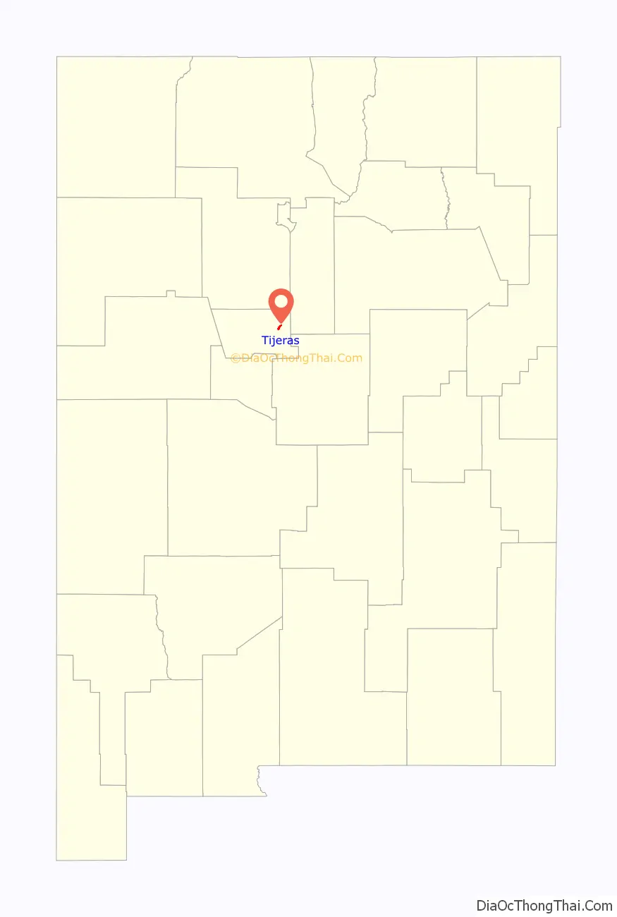
| State: | New Mexico |
| County: | Bernalillo County |
| Elevation: | 6,322 ft (1,927 m) |
| Total Area: | 1.14 sq mi (2.95 km²) |
| Land Area: | 1.13 sq mi (2.93 km²) |
| Water Area: | 0.01 sq mi (0.01 km²) |
| Total Population: | 465 |
| Population Density: | 410.78/sq mi (158.59/km²) |
| ZIP code: | 87059 |
| Area code: | 505 |
| FIPS code: | 3577880 |
| GNISfeature ID: | 0911709 |
| Website: | www.tijerasnm.gov |
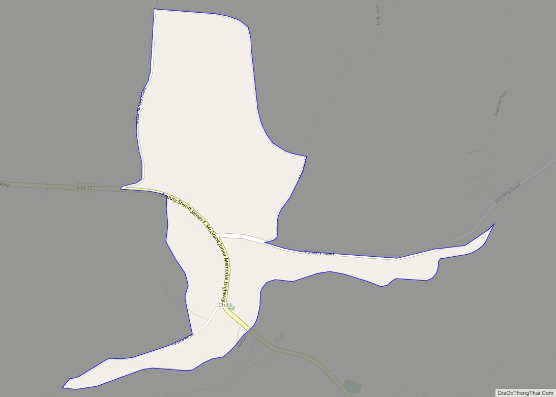
Online Interactive Map
Click on ![]() to view map in "full screen" mode.
to view map in "full screen" mode.
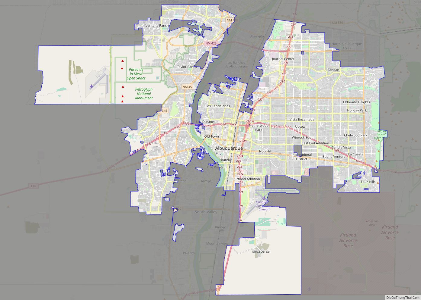
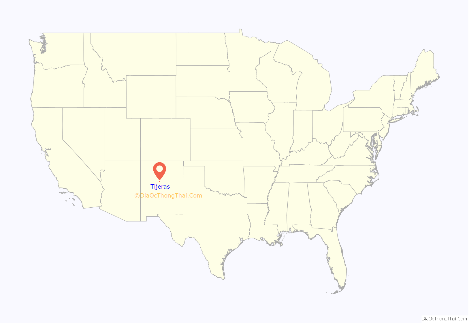
Tijeras location map. Where is Tijeras village?
History
Tijeras was part of the Carnuel land grant, created in 1763 to defend Albuquerque from the raids of Comanche, Kiowa, and Plains Apache American Indians. The village is located in Tijeras Canyon, a strategic and natural corridor between the nomadic Indians of the Great Plains and the Spanish settlements in the Rio Grande valley. Nineteen men some with families, comprised the first settlers at Carnuel. They were mostly from the lower castas of Spanish society, “coyotes” and genizaros (Indians who lived among the Spanish and had adopted some elements of Hispanic culture). For the coyotes and genizaros the attraction to settle in the Tijeras area was the opportunity to own land through the land grant from the New Mexican government.
Apache raiders killed several people in the area and the survivors abandoned the land grant area in 1771. The Tijeras area was resettled in 1819 by descendants of the original settlers plus additional landless mestizos. By that time New Mexico had made peace with the Comanche and the threat to the eastern frontiers of the colony had decreased, making the settlement feasible. The genizaro heritage continued to influence land and water usage rights in the Carnuel land grant into the 21st century.
Tijeras Road Map

Tijeras city Satellite Map

Geography
Geography
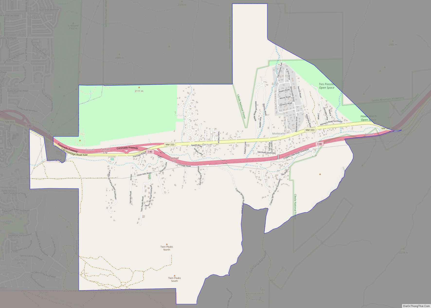
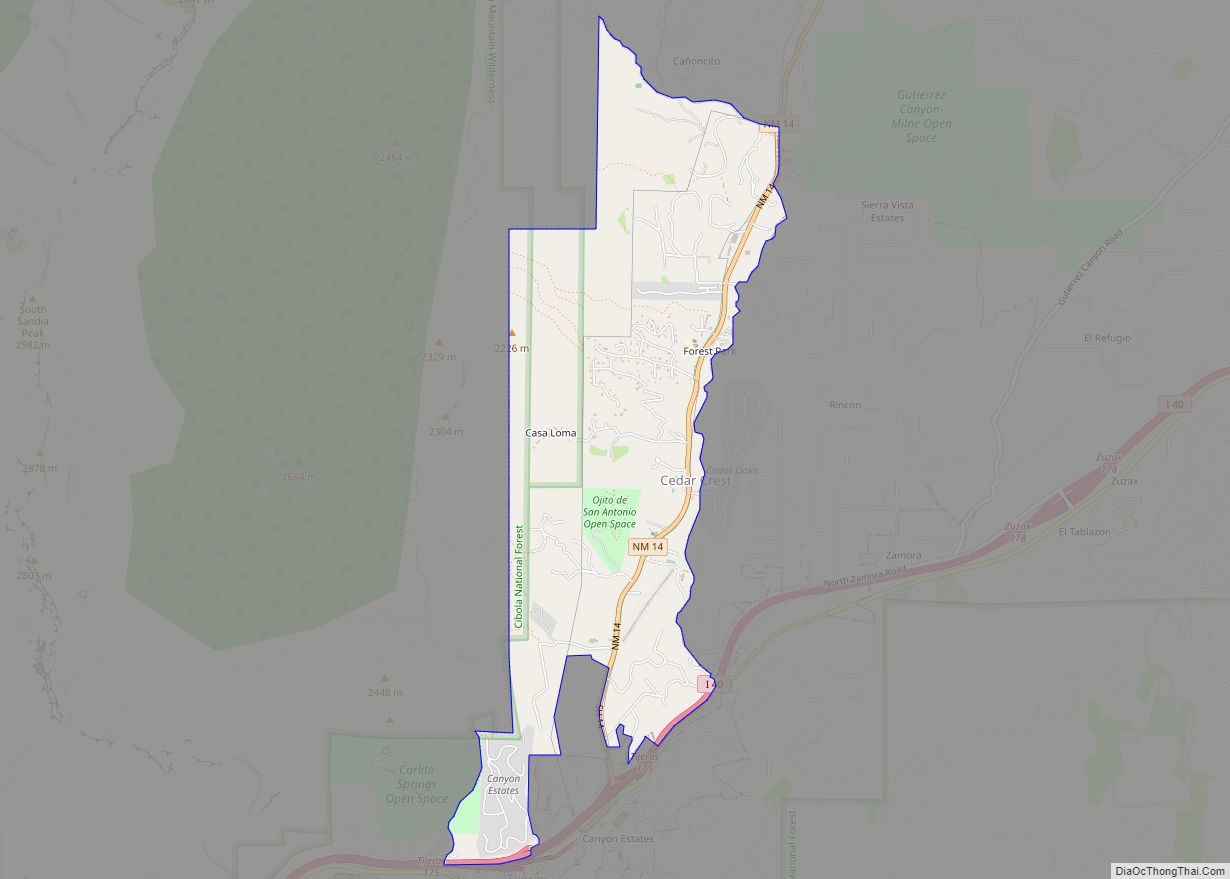
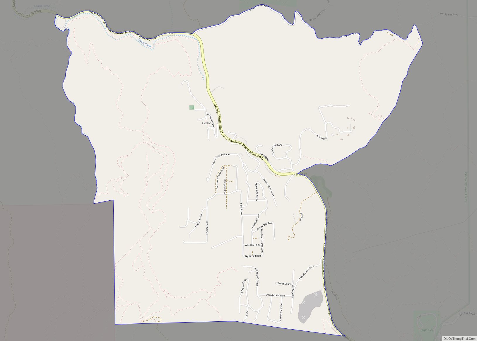
Tijeras is located at 35°5′15″N 106°22′38″W / 35.08750°N 106.37722°W / 35.08750; -106.37722 (35.087550, -106.377354), in central New Mexico, approximately 25 kilometres (16 mi) east of Albuquerque, on Interstate 40 (Exit 175) and U.S. Highway 66 (Route 66)/New Mexico state highway 333. New Mexico State Road 14 leads north from the village, toward Cedar Crest, Sandia Crest, Madrid and Santa Fe. New Mexico State Road 337 leads south from Tijeras (see Google map).
Physical geography
Tijeras is at the junction of Tijeras Canyon, leading to the west, toward Albuquerque, and Cedro Canyon, leading to the south, toward the Manzano Mountains.
Land area
According to the United States Census Bureau, the village has a total area of 1.2 square miles (3.0 km), of which 0.008 square miles (0.02 km), or 0.56%, is water.
See also
Map of New Mexico State and its subdivision: Map of other states:- Alabama
- Alaska
- Arizona
- Arkansas
- California
- Colorado
- Connecticut
- Delaware
- District of Columbia
- Florida
- Georgia
- Hawaii
- Idaho
- Illinois
- Indiana
- Iowa
- Kansas
- Kentucky
- Louisiana
- Maine
- Maryland
- Massachusetts
- Michigan
- Minnesota
- Mississippi
- Missouri
- Montana
- Nebraska
- Nevada
- New Hampshire
- New Jersey
- New Mexico
- New York
- North Carolina
- North Dakota
- Ohio
- Oklahoma
- Oregon
- Pennsylvania
- Rhode Island
- South Carolina
- South Dakota
- Tennessee
- Texas
- Utah
- Vermont
- Virginia
- Washington
- West Virginia
- Wisconsin
- Wyoming