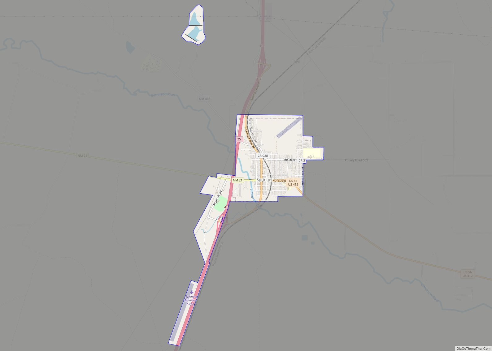
Springer is a town in Colfax County, New Mexico, United States. Its population was 1,047 at the 2010 census.
| Name: | Springer town |
|---|---|
| LSAD Code: | 43 |
| LSAD Description: | town (suffix) |
| State: | New Mexico |
| County: | Colfax County |
| Elevation: | 5,797 ft (1,767 m) |
| Total Area: | 2.26 sq mi (5.84 km²) |
| Land Area: | 2.20 sq mi (5.71 km²) |
| Water Area: | 0.05 sq mi (0.13 km²) |
| Total Population: | 931 |
| Population Density: | 422.41/sq mi (163.09/km²) |
| ZIP code: | 87729, 87747 |
| Area code: | 575 |
| FIPS code: | 3574800 |
| GNISfeature ID: | 0895273 |
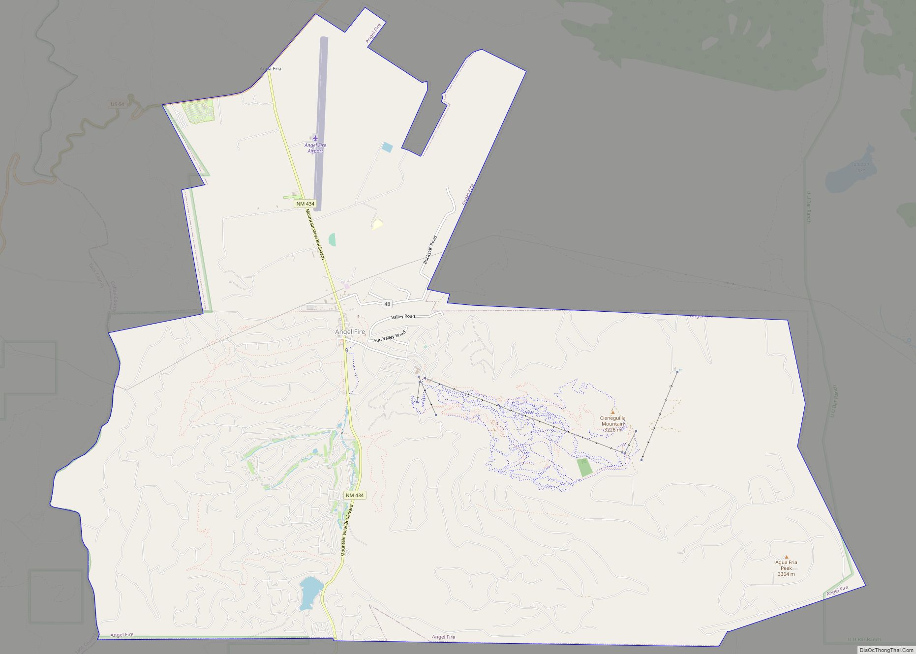
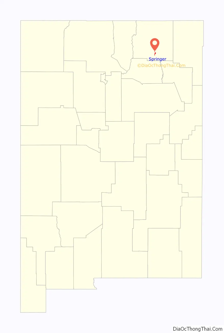
Online Interactive Map
Click on ![]() to view map in "full screen" mode.
to view map in "full screen" mode.
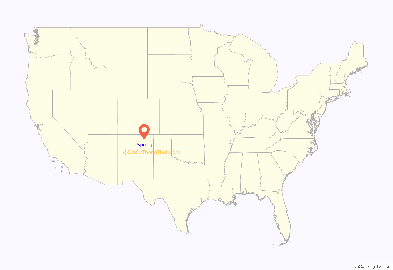
Springer location map. Where is Springer town?
History
In 1877, William T Thornton, representing the Maxwell Land Grand and Railway Company commissioned Melvin Whitson Mills to “sell, locate, survey, map and plat, and lay out town site, no exceeding three hundred and twenty acres”. Judge Mills selected a location along the Cimarron called Las Garzas and laid out the townsite and graded the streets. The Maxwell Land Grand and Railway Company conveyed the deed to Mills on 31 March 1880. The deed bequeathed the town Maxwell, but by 1883 according to the deed for the Mills Mansion, it was called Springer.
The town was the county seat of Colfax County from 1882—1897 and keeps the former Courthouse as a museum. The location was chosen due to anticipation of the Atchison, Topeka and Santa Fe Railway coming and as it was halfway between the Mountain Branch and Cimarron Cutoff of the Santa Fe Trail.
The Springer Correctional Center, operated by the New Mexico Corrections Department, is located 2 miles (3 km) northwest of Springer. The correctional center is one of New Mexico’s oldest detention facilities, having begun operation in 1909 as the New Mexico Boys’ School.
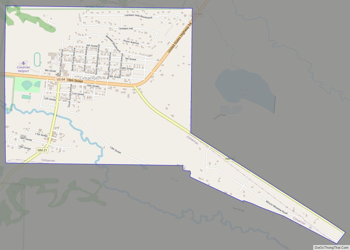
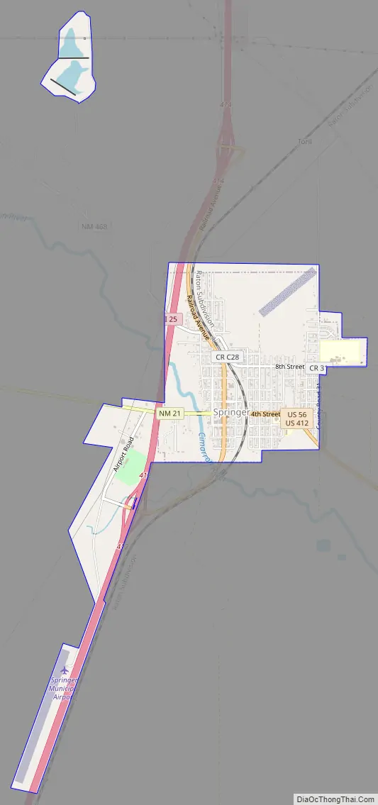
Springer Road Map
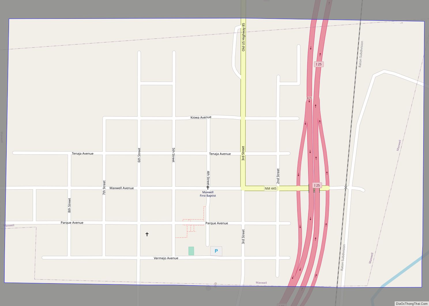
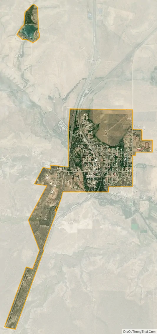
Springer city Satellite Map
Geography
Springer is located in southern Colfax County at 36°21′50″N 104°35′37″W / 36.36389°N 104.59361°W / 36.36389; -104.59361 (36.363976, -104.593491). It is in the valley of the Cimarron River, 6 miles (10 km) west of where that river flows into the Canadian River.
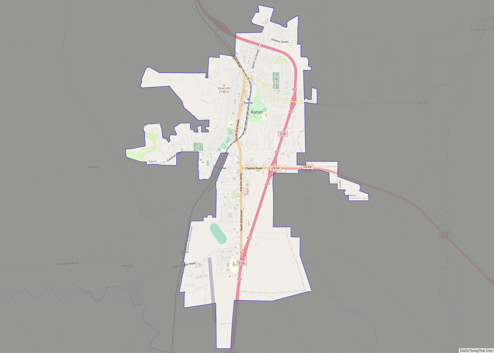
Interstate 25 passes along the west side of the town, with access from exits 412 and 414. I-25 leads north 40 miles (64 km) to Raton, the county seat, and southwest 68 miles (109 km) to Las Vegas. The western terminus of U.S. Routes 56 and 412 is in the center of Springer. The two routes together lead 82 miles (132 km) east to Clayton.
According to the United States Census Bureau, Springer has a total area of 1.5 square miles (3.8 km), all land.
See also
Map of New Mexico State and its subdivision: Map of other states:- Alabama
- Alaska
- Arizona
- Arkansas
- California
- Colorado
- Connecticut
- Delaware
- District of Columbia
- Florida
- Georgia
- Hawaii
- Idaho
- Illinois
- Indiana
- Iowa
- Kansas
- Kentucky
- Louisiana
- Maine
- Maryland
- Massachusetts
- Michigan
- Minnesota
- Mississippi
- Missouri
- Montana
- Nebraska
- Nevada
- New Hampshire
- New Jersey
- New Mexico
- New York
- North Carolina
- North Dakota
- Ohio
- Oklahoma
- Oregon
- Pennsylvania
- Rhode Island
- South Carolina
- South Dakota
- Tennessee
- Texas
- Utah
- Vermont
- Virginia
- Washington
- West Virginia
- Wisconsin
- Wyoming