Map of Veguita CDP

Map of Veguita CDP

Veguita is a census-designated place in Socorro County, New Mexico, United States. Its population was 232 as of the 2010 census. Veguita has a post office with ZIP code 87062. New Mexico State Road 304 passes through the community. Veguita has two independent Christian churches, Chihuahua Bible Chapel, and Iglesia Evangelica “Camino De Fe”, which … Read more

Map of Vaughn town, New Mexico

Map of Vaughn town, New Mexico

Vaughn is a town in Guadalupe County, New Mexico, United States. The population was 446 at the 2010 census, down from the figure of 539 recorded in 2000. It is located at an intersection of the Burlington Northern Santa Fe and Union Pacific railroad lines. Vaughn town overview: Name: Vaughn town LSAD Code: 43 LSAD … Read more

Map of Valencia CDP

Map of Valencia CDP, New Mexico

Valencia is a census-designated place (CDP) in Valencia County, New Mexico, United States. The population was 2,192 at the 2010 census. It is part of the Albuquerque Metropolitan Statistical Area. Valencia CDP overview: Name: Valencia CDP LSAD Code: 57 LSAD Description: CDP (suffix) State: New Mexico County: Valencia County Elevation: 4,849 ft (1,478 m) Total Area: 1.98 sq mi … Read more

Map of Vado CDP

Map of Vado CDP

Vado is an unincorporated community and census-designated place (CDP) in Doña Ana County, New Mexico, United States. The population was 3,194 at the 2010 census. The ZIP code for Vado is 88072, its area code is 575, and it is part of the Las Cruces Metropolitan Statistical Area. Vado CDP overview: Name: Vado CDP LSAD … Read more

Map of Vadito CDP

Map of Vadito CDP

Vadito is a census-designated place (CDP) in southern Taos County, New Mexico, United States. It is on the scenic High Road to Taos. The population was 270 at the 2010 census. Vadito CDP overview: Name: Vadito CDP LSAD Code: 57 LSAD Description: CDP (suffix) State: New Mexico County: Taos County Elevation: 7,451 ft (2,271 m) Total Area: … Read more

Map of Ute Park CDP

Map of Ute Park CDP

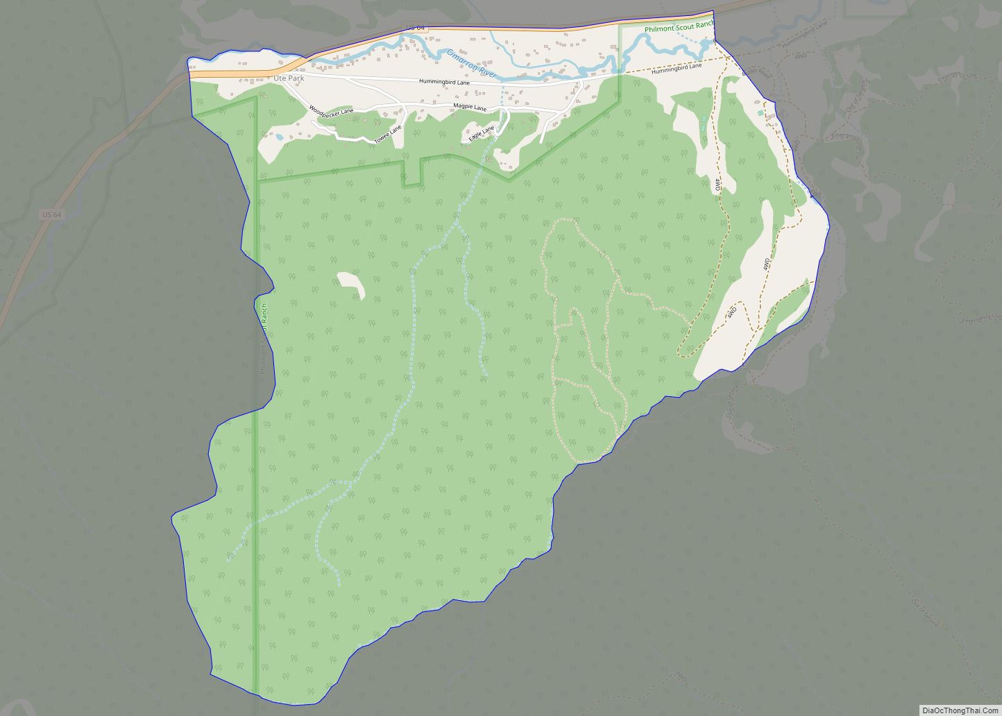
Ute Park is an unincorporated community and census-designated place in Colfax County, New Mexico, United States. As of the 2010 census it had a population of 71. It was formerly part of the Maxwell Land Grant. Ute Park lies on U.S. Route 64 between Cimarron and Eagle Nest, just east of Cimarron Canyon State Park. … Read more

Map of Upper Fruitland CDP

Map of Upper Fruitland CDP

Upper Fruitland (Navajo: Doo Alkʼahii) is a census-designated place (CDP) in San Juan County, New Mexico, United States. The population was 1,664 at the 2000 census. It is part of the Farmington Metropolitan Statistical Area. Upper Fruitland CDP overview: Name: Upper Fruitland CDP LSAD Code: 57 LSAD Description: CDP (suffix) State: New Mexico County: San … Read more

Map of University Park CDP, New Mexico

Map of University Park CDP, New Mexico

University Park is a census-designated place (CDP) in Doña Ana County, New Mexico, United States. The population was 4,192 at the 2010 census. It is part of the Las Cruces Metropolitan Statistical Area. The CDP is almost all of the area bounded by University Avenue, Interstate 10 and Interstate 25 and is thus very nearly … Read more

Map of Ventura CDP, New Mexico

Map of Ventura CDP, New Mexico

Ventura is a census-designated place in Luna County, New Mexico, United States. Its population was 468 as of the 2010 census. Ventura CDP overview: Name: Ventura CDP LSAD Code: 57 LSAD Description: CDP (suffix) State: New Mexico County: Luna County Elevation: 4,262 ft (1,299 m) Total Area: 5.46 sq mi (14.14 km²) Land Area: 5.46 sq mi (14.14 km²) Water Area: 0.00 sq mi (0.00 km²) … Read more

Map of Velarde CDP

Map of Velarde CDP

Velarde is a census-designated place (CDP) in Rio Arriba County, New Mexico, United States. The population was 502 at the time of the 2010 census. Velarde is located on New Mexico State Road 68, in the Rio Grande Rift, at the point where the road enters the Rio Grande Gorge. In 1750, Juan Matias Velarde … Read more

Map of White Signal CDP

Map of White Signal CDP

White Signal is a census-designated place in Grant County, New Mexico, United States. Its population was 181 as of the 2010 census. New Mexico State Road 90 passes through the community. White Signal was named for a nearby outcropping of reflective white quartz; early residents thought the reflected sunlight resembled a signal. The community had … Read more

Map of White Sands CDP

Map of White Sands CDP

White Sands is a census-designated place (CDP) in Doña Ana County, New Mexico, United States. It consists of the main residential area on the White Sands Missile Range. As of the 2010 census the population of the CDP was 1,651. It is part of the Las Cruces Metropolitan Statistical Area. White Sands CDP overview: Name: … Read more