Ute Park is an unincorporated community and census-designated place in Colfax County, New Mexico, United States. As of the 2010 census it had a population of 71. It was formerly part of the Maxwell Land Grant.
Ute Park lies on U.S. Route 64 between Cimarron and Eagle Nest, just east of Cimarron Canyon State Park.
In 1921, the Guide to New Mexico described it as:
The St. Louis, Rocky Mountain, and Pacific Railway abandoned the Ute Park branch circa 1942. Portions of the right of way are still visible, but most railroad structures have been removed.
| Name: | Ute Park CDP |
|---|---|
| LSAD Code: | 57 |
| LSAD Description: | CDP (suffix) |
| State: | New Mexico |
| County: | Colfax County |
| Elevation: | 7,413 ft (2,259 m) |
| Total Area: | 3.40 sq mi (8.79 km²) |
| Land Area: | 3.40 sq mi (8.79 km²) |
| Water Area: | 0.00 sq mi (0.00 km²) |
| Total Population: | 63 |
| Population Density: | 18.56/sq mi (7.16/km²) |
| ZIP code: | 87749 |
| FIPS code: | 3581450 |
| GNISfeature ID: | 0902380 |
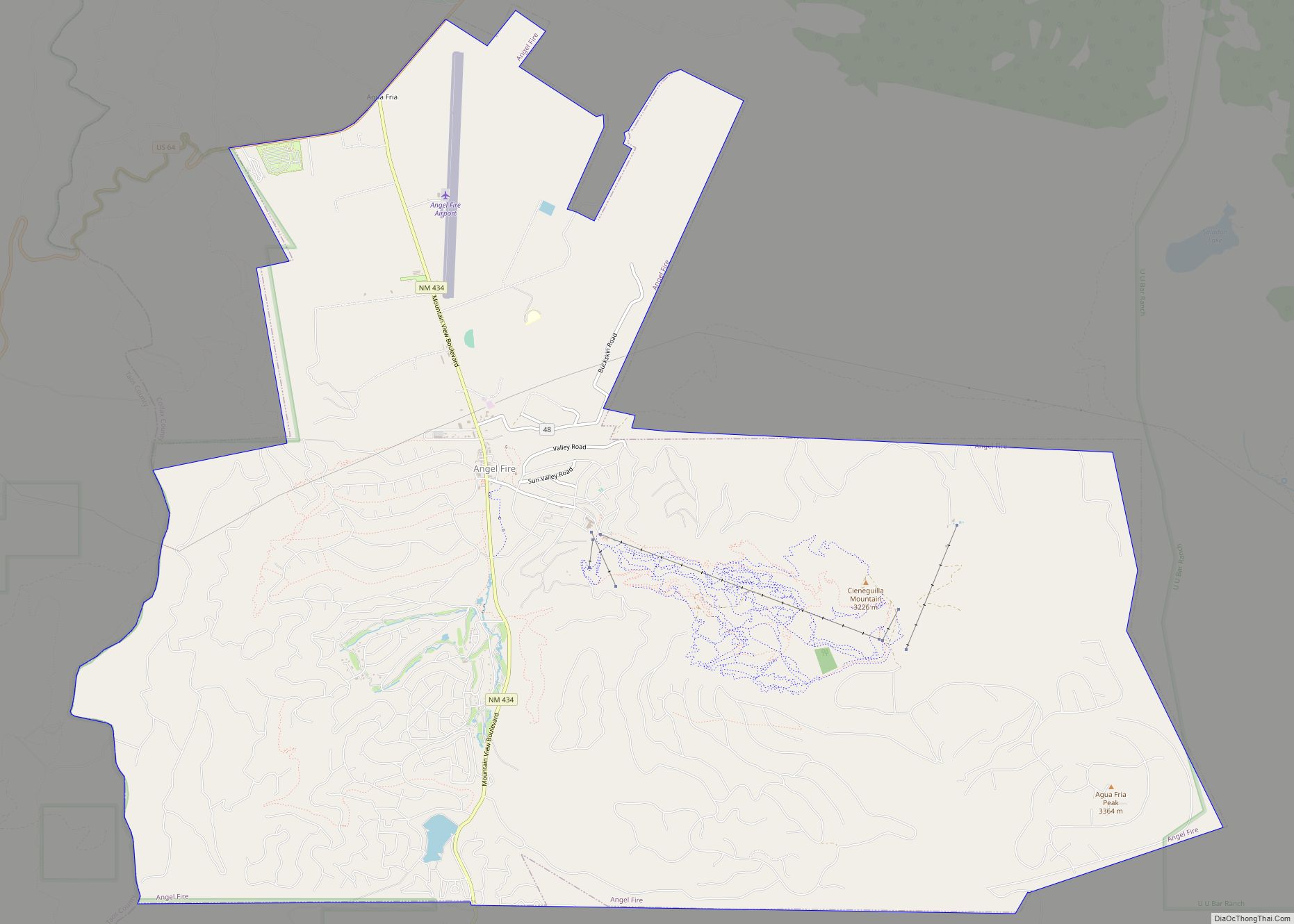
Online Interactive Map
Click on ![]() to view map in "full screen" mode.
to view map in "full screen" mode.
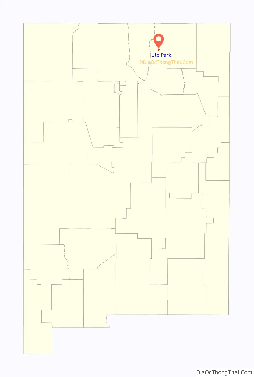
Ute Park location map. Where is Ute Park CDP?

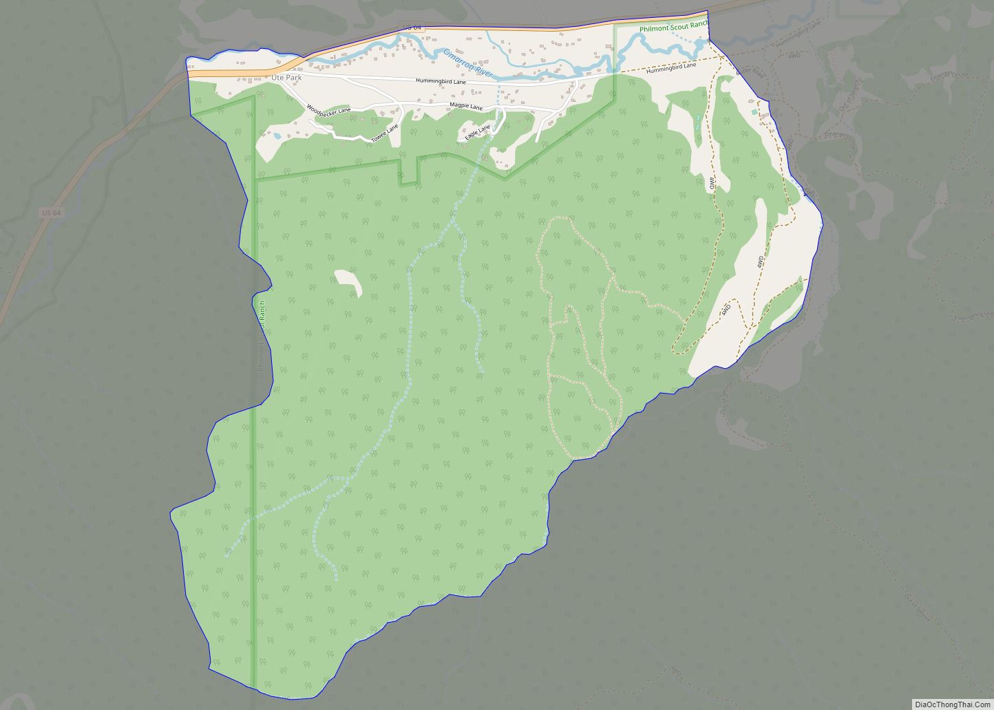
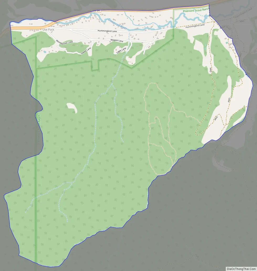
Ute Park Road Map
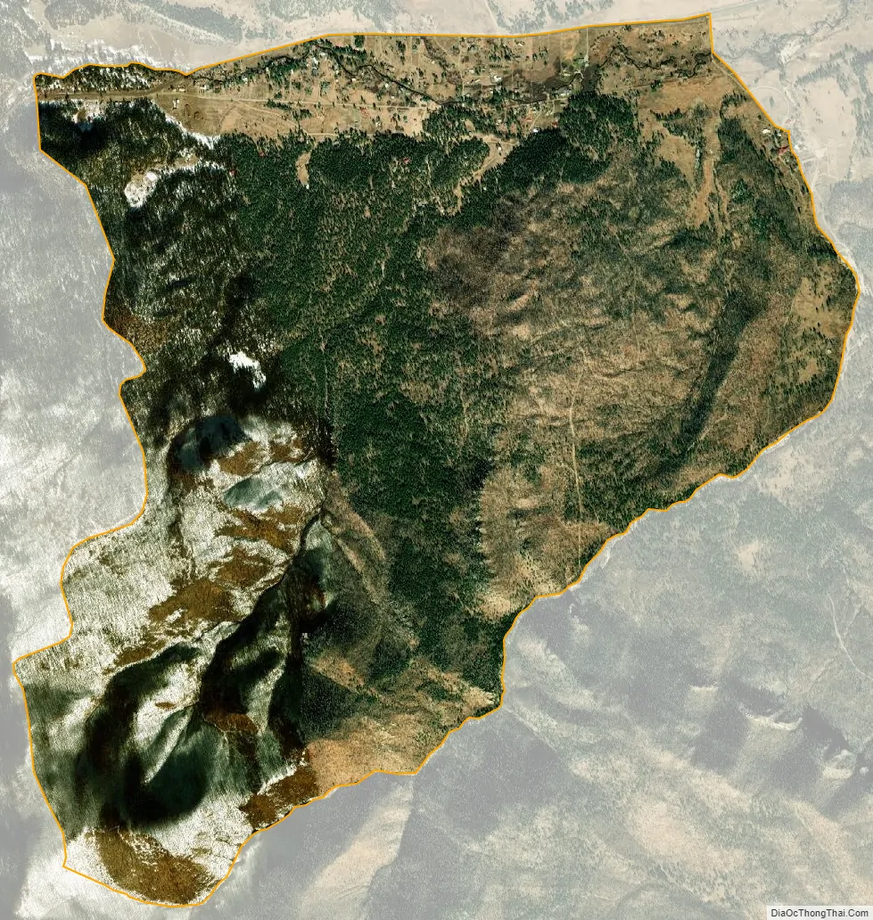
Ute Park city Satellite Map
See also
Map of New Mexico State and its subdivision: Map of other states:- Alabama
- Alaska
- Arizona
- Arkansas
- California
- Colorado
- Connecticut
- Delaware
- District of Columbia
- Florida
- Georgia
- Hawaii
- Idaho
- Illinois
- Indiana
- Iowa
- Kansas
- Kentucky
- Louisiana
- Maine
- Maryland
- Massachusetts
- Michigan
- Minnesota
- Mississippi
- Missouri
- Montana
- Nebraska
- Nevada
- New Hampshire
- New Jersey
- New Mexico
- New York
- North Carolina
- North Dakota
- Ohio
- Oklahoma
- Oregon
- Pennsylvania
- Rhode Island
- South Carolina
- South Dakota
- Tennessee
- Texas
- Utah
- Vermont
- Virginia
- Washington
- West Virginia
- Wisconsin
- Wyoming