Vaughn is a town in Guadalupe County, New Mexico, United States. The population was 446 at the 2010 census, down from the figure of 539 recorded in 2000. It is located at an intersection of the Burlington Northern Santa Fe and Union Pacific railroad lines.
| Name: | Vaughn town |
|---|---|
| LSAD Code: | 43 |
| LSAD Description: | town (suffix) |
| State: | New Mexico |
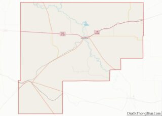
| County: | Guadalupe County |
| Elevation: | 5,978 ft (1,822 m) |
| Total Area: | 5.60 sq mi (14.50 km²) |
| Land Area: | 5.60 sq mi (14.50 km²) |
| Water Area: | 0.00 sq mi (0.00 km²) |
| Total Population: | 286 |
| Population Density: | 51.08/sq mi (19.72/km²) |
| ZIP code: | 88353 |
| Area code: | 575 |
| FIPS code: | 3582570 |
| GNISfeature ID: | 0918400 |
Online Interactive Map
Click on ![]() to view map in "full screen" mode.
to view map in "full screen" mode.
Vaughn location map. Where is Vaughn town?


History
Vaughn is named after Major George W. Vaughn, a civil engineer who was employed by the Santa Fe railroad. Vaughn was established in the early 20th century as a Southern Pacific Railroad town. The town’s importance grew when a second railroad, the Eastern Railway of New Mexico (an Atchison, Topeka and Santa Fe line from Belen to Clovis), was completed in 1907 with Vaughn as a division point. A large two-story depot, a roundhouse, and a Harvey House hotel were constructed shortly thereafter. Vaughn was incorporated in 1919 and in 1920 had a population of 888, according to the U.S. census.
The town was one of the shooting scenes for Bobbie Jo and the Outlaw starring Wonder Woman actress Lynda Carter.
The Guadalupe County Sheriff’s Department, New Mexico Rangers, the New Mexico State Police and Motor Transportation Police and the Vaughn Police Department (presently a one-man agency) all patrol the town, which, according to the United States Homeland Security, is a known drug-smuggling route.
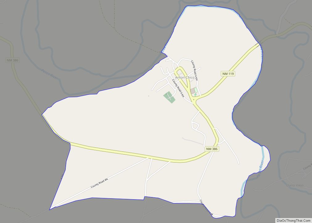
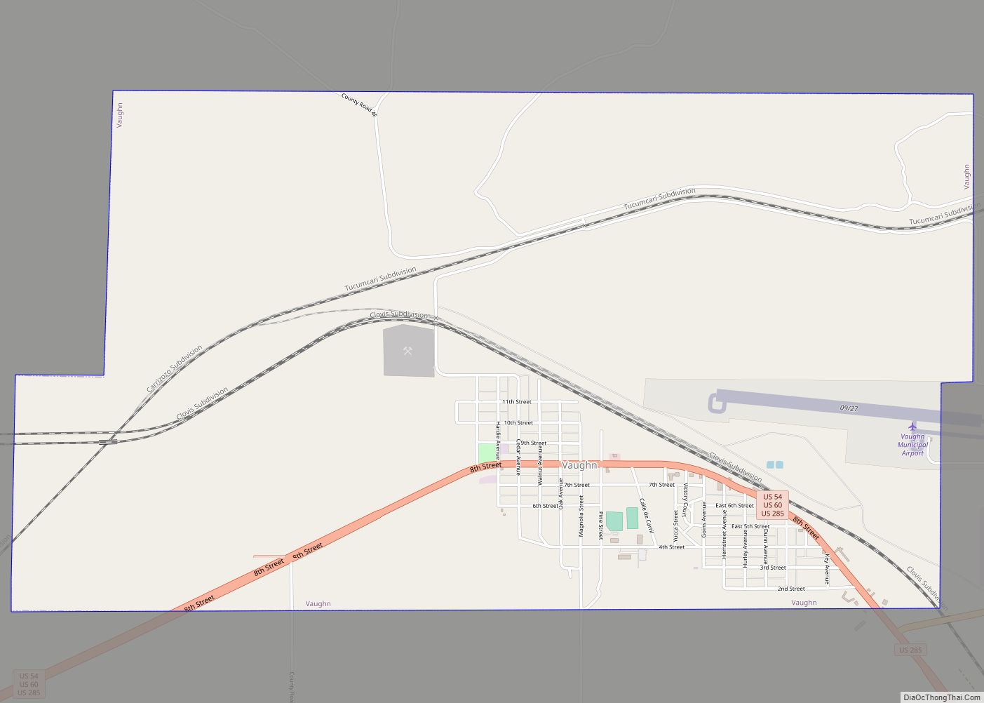
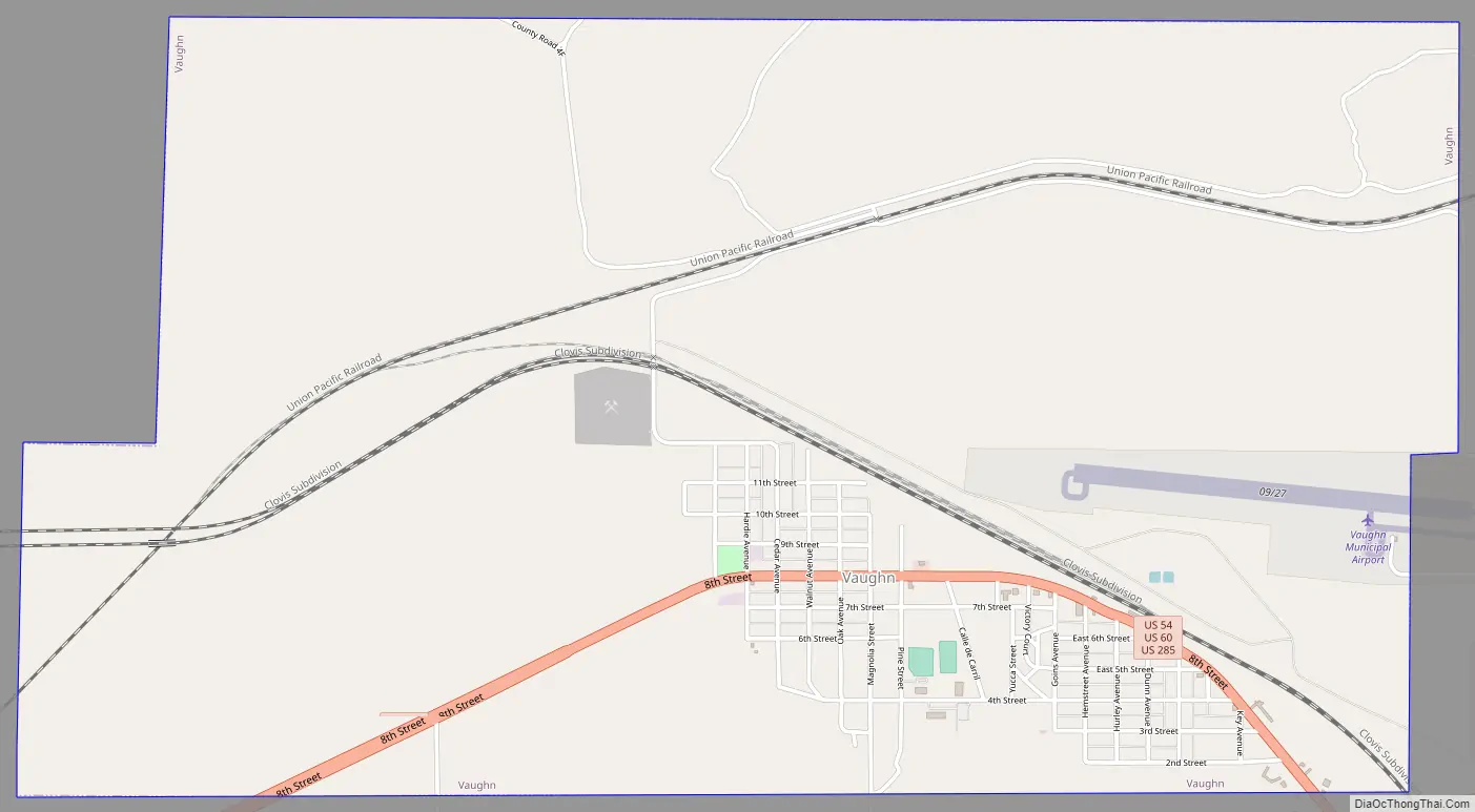
Vaughn Road Map
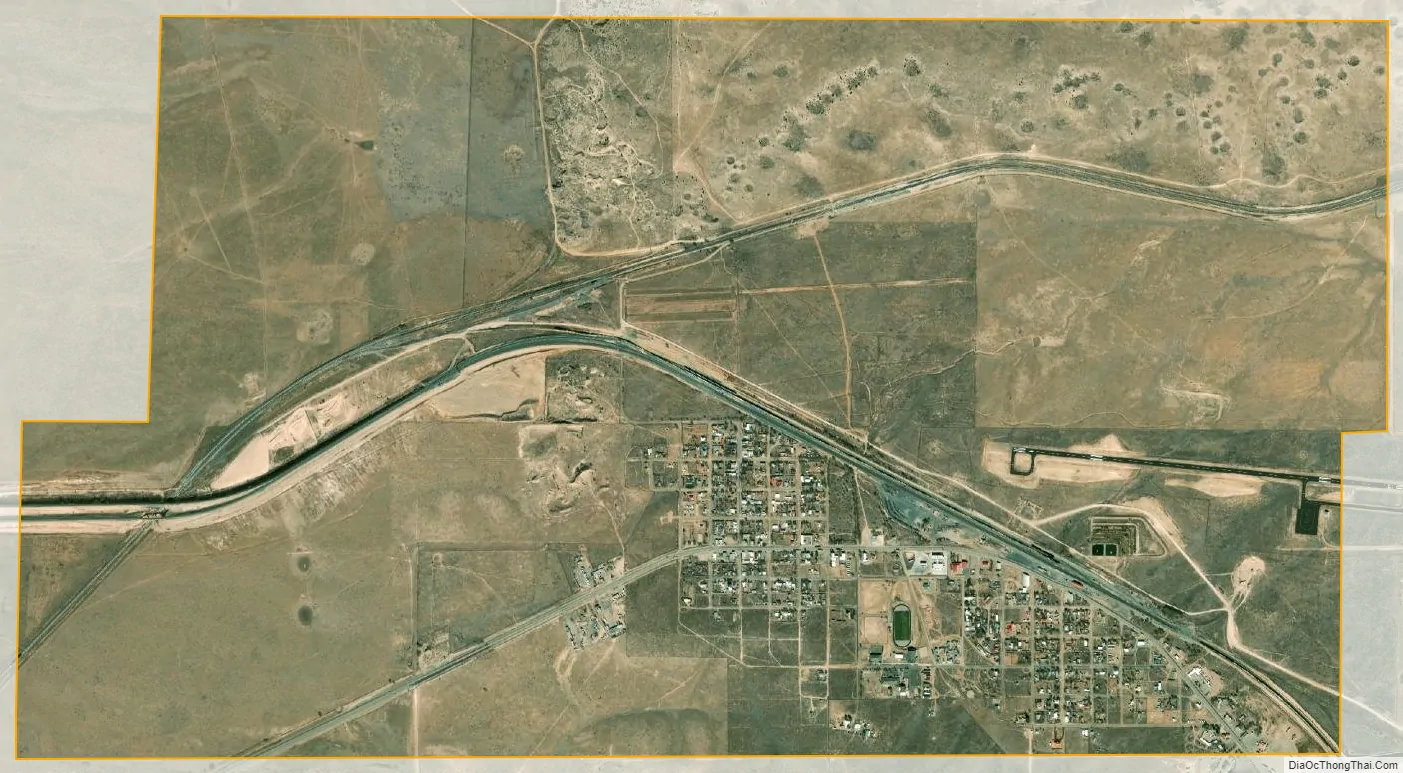
Vaughn city Satellite Map
Geography
Vaughn is located in southwestern Guadalupe County at 34°36′5″N 105°12′23″W / 34.60139°N 105.20639°W / 34.60139; -105.20639 (34.601253, -105.206410). U.S. Routes 54, 60, and 285 pass through the town as 8th Street. US 54 leads northeast 40 miles (64 km) to Santa Rosa, the Guadalupe County seat, and southwest 138 miles (222 km) to Alamogordo. US 60 leads east 118 miles (190 km) to Clovis and west 104 miles (167 km) to Interstate 25 in the Rio Grande valley. US 285 leads southeast 96 miles (154 km) to Roswell; to the west it follows US 60 16 miles (26 km) to Encino, then turns northwest and leads an additional 27 miles (43 km) to Interstate 40 at Clines Corners.
According to the United States Census Bureau, the town has an area of 5.6 square miles (14.5 km), all land.
See also
Map of New Mexico State and its subdivision: Map of other states:- Alabama
- Alaska
- Arizona
- Arkansas
- California
- Colorado
- Connecticut
- Delaware
- District of Columbia
- Florida
- Georgia
- Hawaii
- Idaho
- Illinois
- Indiana
- Iowa
- Kansas
- Kentucky
- Louisiana
- Maine
- Maryland
- Massachusetts
- Michigan
- Minnesota
- Mississippi
- Missouri
- Montana
- Nebraska
- Nevada
- New Hampshire
- New Jersey
- New Mexico
- New York
- North Carolina
- North Dakota
- Ohio
- Oklahoma
- Oregon
- Pennsylvania
- Rhode Island
- South Carolina
- South Dakota
- Tennessee
- Texas
- Utah
- Vermont
- Virginia
- Washington
- West Virginia
- Wisconsin
- Wyoming