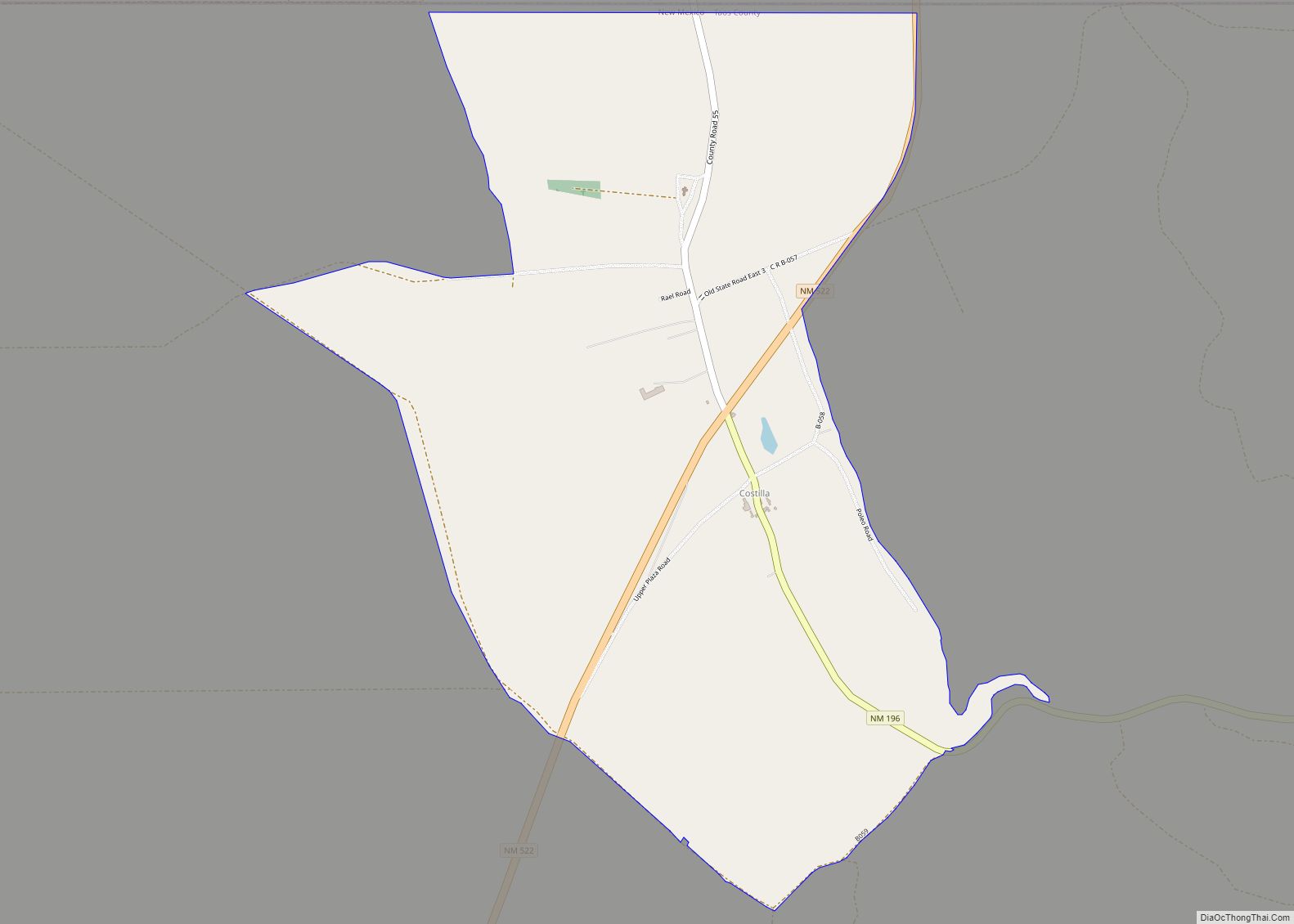
Costilla is a census-designated place in Taos County, New Mexico, United States. Its population was 205 as of the 2010 census. Costilla has a post office with ZIP code 87524. State roads 196 and 522 intersect in the community. Costilla CDP overview: Name: Costilla CDP LSAD Code: 57 LSAD Description: CDP (suffix) State: New Mexico ... Read more
New Mexico Cities and Places
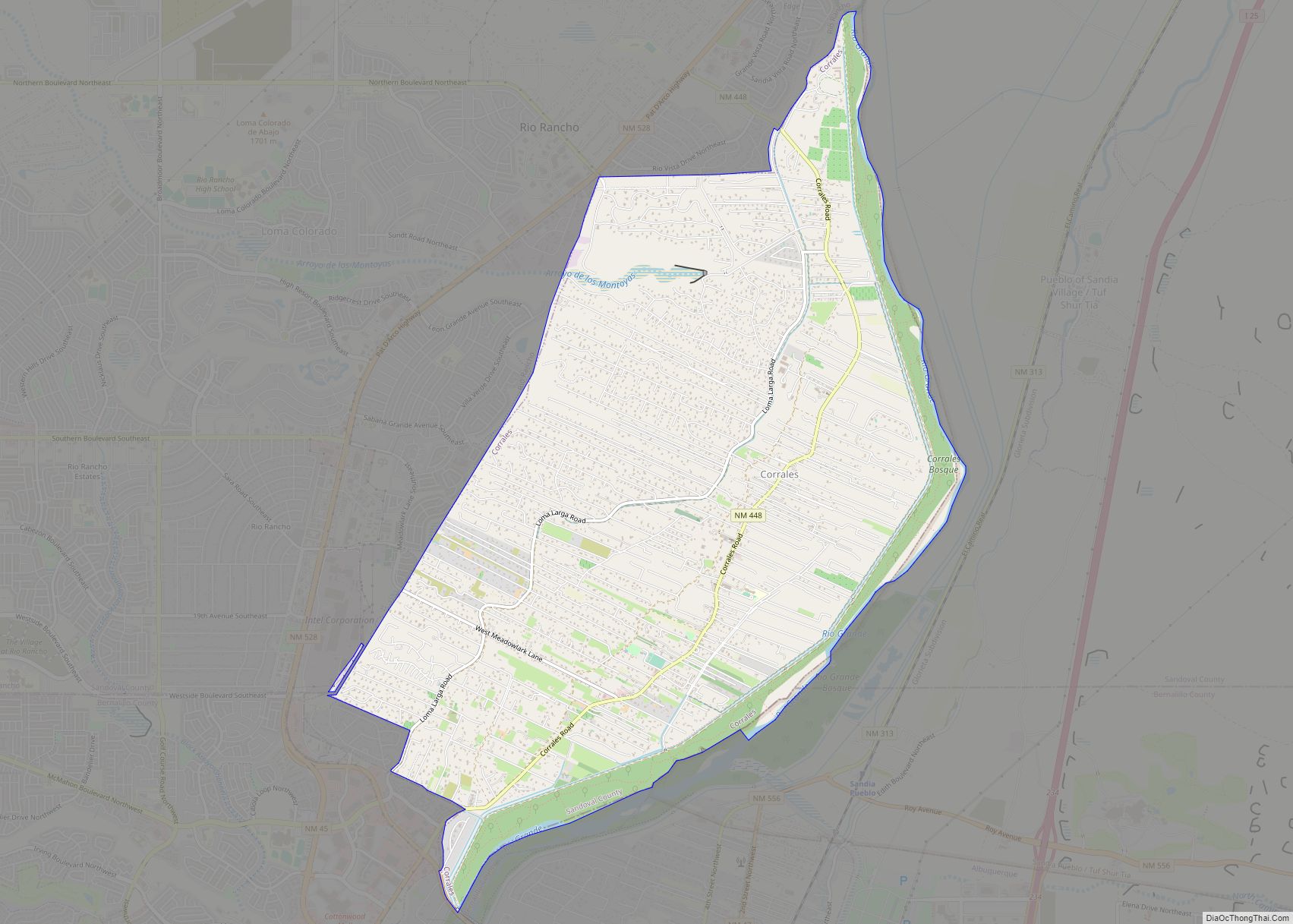
Corrales is a village in southern Sandoval County, New Mexico, United States. First farmed by Tiquex Pueblo people, chosen due to its proximity to the Rio Grande, as documented by Hispano farmers of Nuevo México in the late 1500s. Despite being a part of the Albuquerque metropolitan area, the village maintains its rural character, while ... Read more
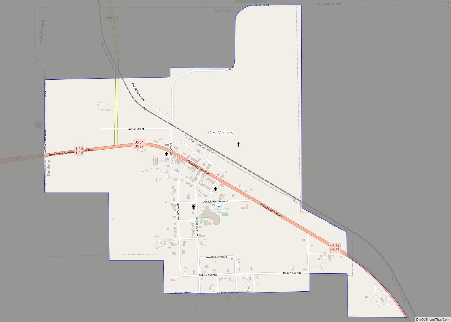
Des Moines is a village in Union County, New Mexico, United States. The population was 143 at the 2010 census. Des Moines is a small village surrounded by large cattle ranches. The summit of Sierra Grande, the largest shield volcano in the Raton-Clayton Volcanic Field, is 5 kilometres (3.1 mi) southwest of the village. The population ... Read more
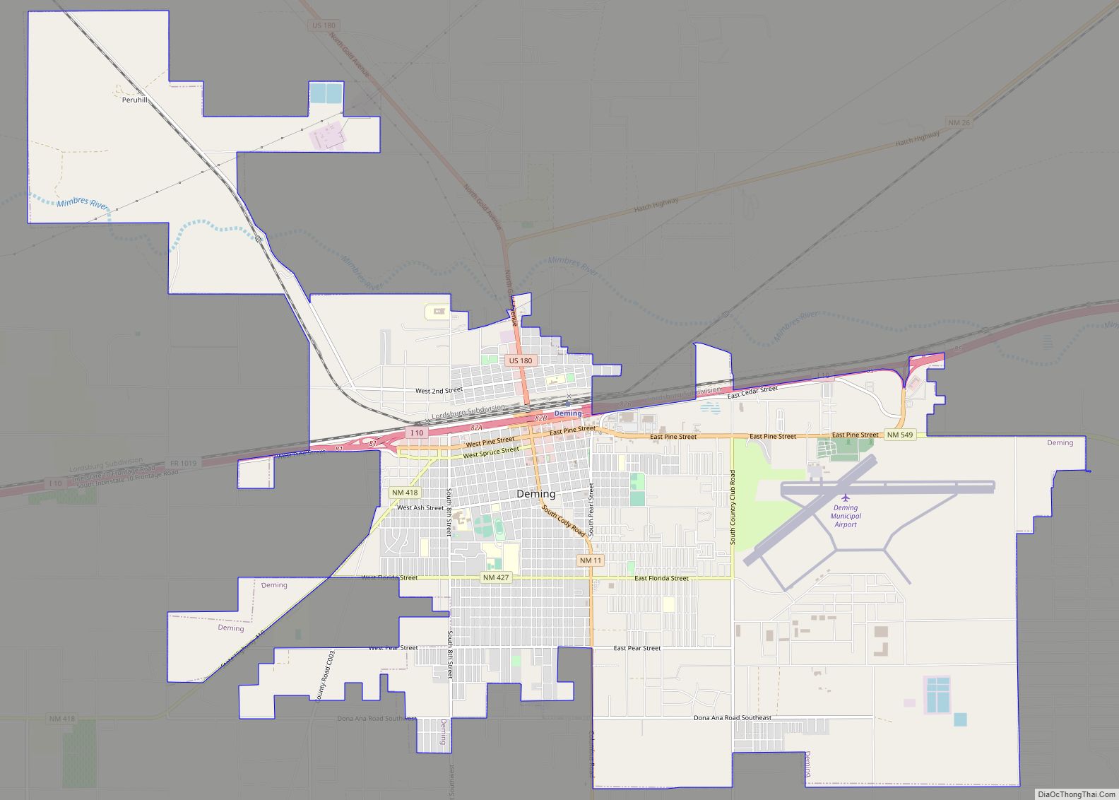
Deming (/ˈdɛmɪŋ/, DEM-ing) is a city in Luna County, New Mexico, United States, 60 miles (97 km) west of Las Cruces and 35 miles (56 km) north of the Mexican border. The population was 14,855 as of the 2010 census. Deming is the county seat and principal community of Luna County. Deming city overview: Name: Deming city ... Read more
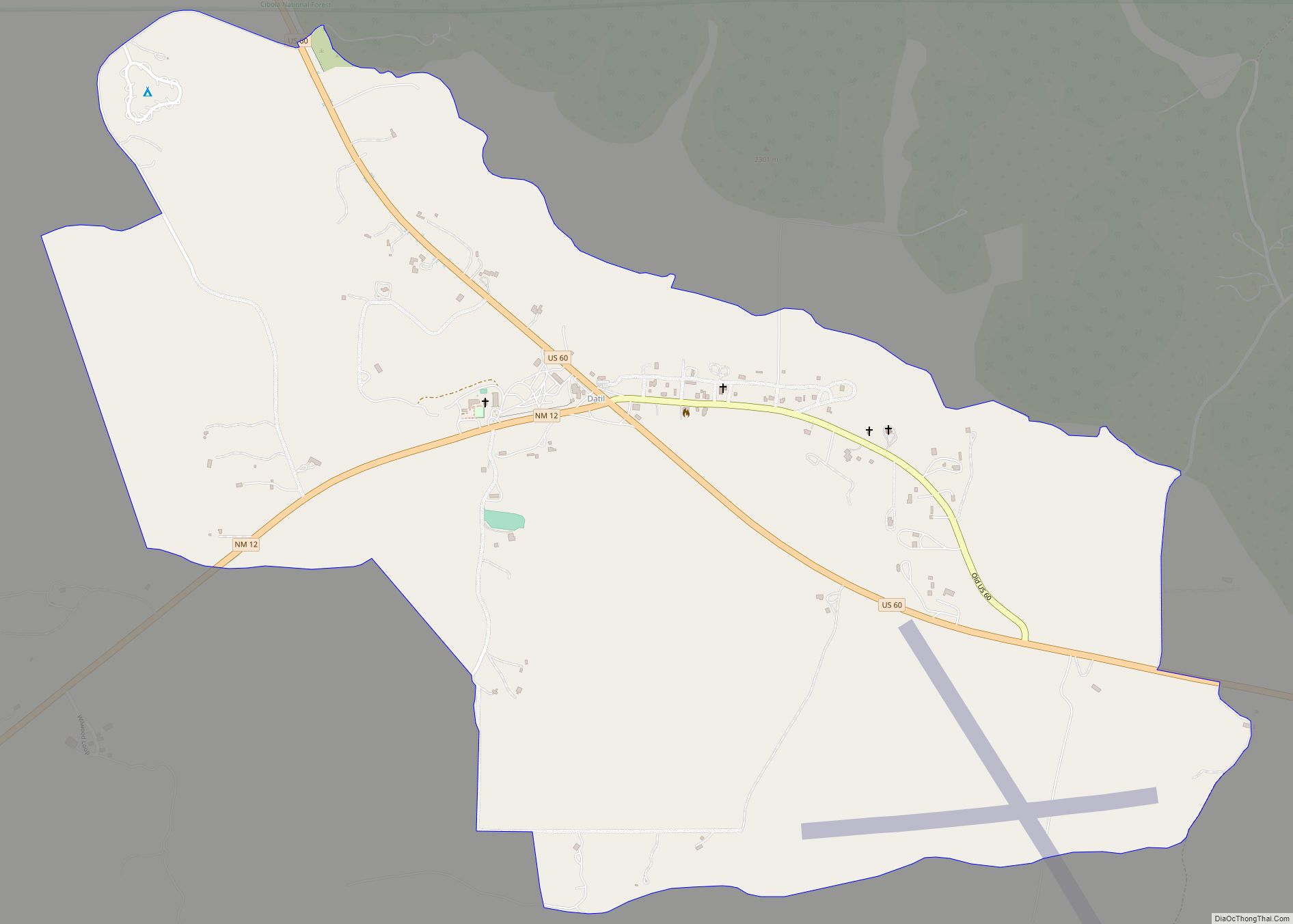
Datil is a census-designated place in Catron County, New Mexico, United States. As of the 2010 census it had a population of 54. Located at the intersection of U.S. Route 60 and New Mexico State Road 12, Datil is on the edge of the Cibola National Forest. The Very Large Array is also nearby. Rock ... Read more
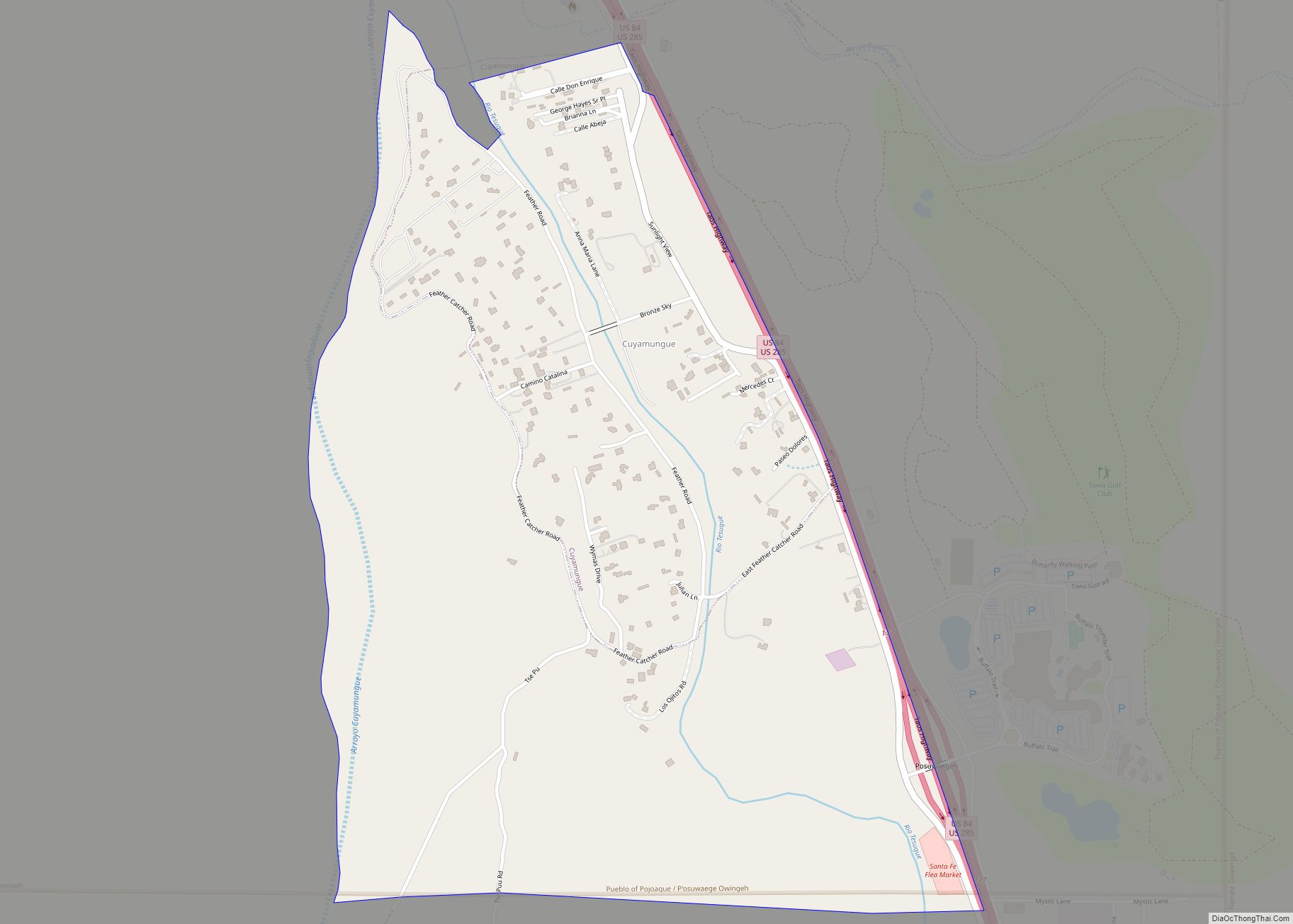
Cuyamungue is a census-designated place (CDP) in Santa Fe County, New Mexico, United States. It is part of the Santa Fe, New Mexico Metropolitan Statistical Area. The population was 479 at the 2010 census. Cuyamungue CDP overview: Name: Cuyamungue CDP LSAD Code: 57 LSAD Description: CDP (suffix) State: New Mexico County: Santa Fe County Elevation: ... Read more
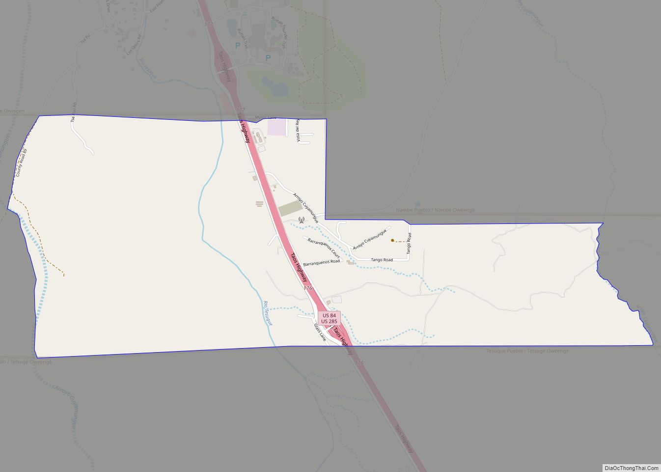
Cuyamungue Grant is an unincorporated community and census-designated place in Santa Fe County, New Mexico, United States. Its population was 226 as of the 2010 census. Cuyamungue Grant CDP overview: Name: Cuyamungue Grant CDP LSAD Code: 57 LSAD Description: CDP (suffix) State: New Mexico County: Santa Fe County Elevation: 6,122 ft (1,866 m) Total Area: 2.55 sq mi (6.60 km²) ... Read more
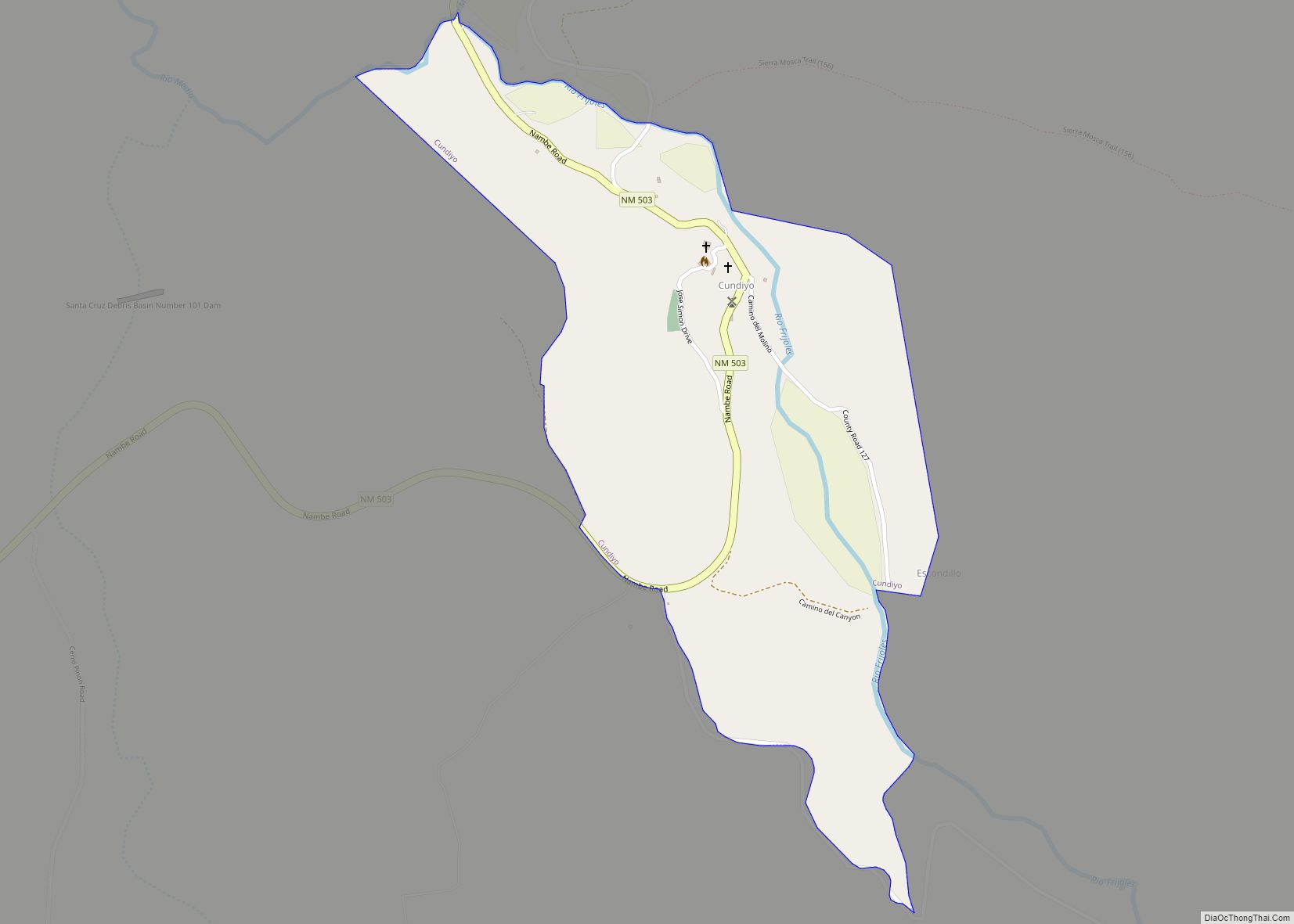
Cundiyo is a census-designated place (CDP) in Santa Fe County, New Mexico, United States. It is part of the Santa Fe, New Mexico Metropolitan Statistical Area. The population was 72 at the 2010 census. The name means round hill of the little bells in Tewa. Cundiyo CDP overview: Name: Cundiyo CDP LSAD Code: 57 LSAD ... Read more
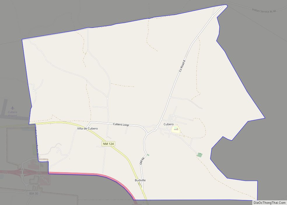
Cubero is a census-designated place in Cibola County, New Mexico, United States. Its population was 289 as of the 2010 census. Cubero has a post office with ZIP code 87014. The town was founded by Mexicans and was along the route of the Santa Fe Railroad’s first transcontinental rail line through the Southwestern United States. ... Read more
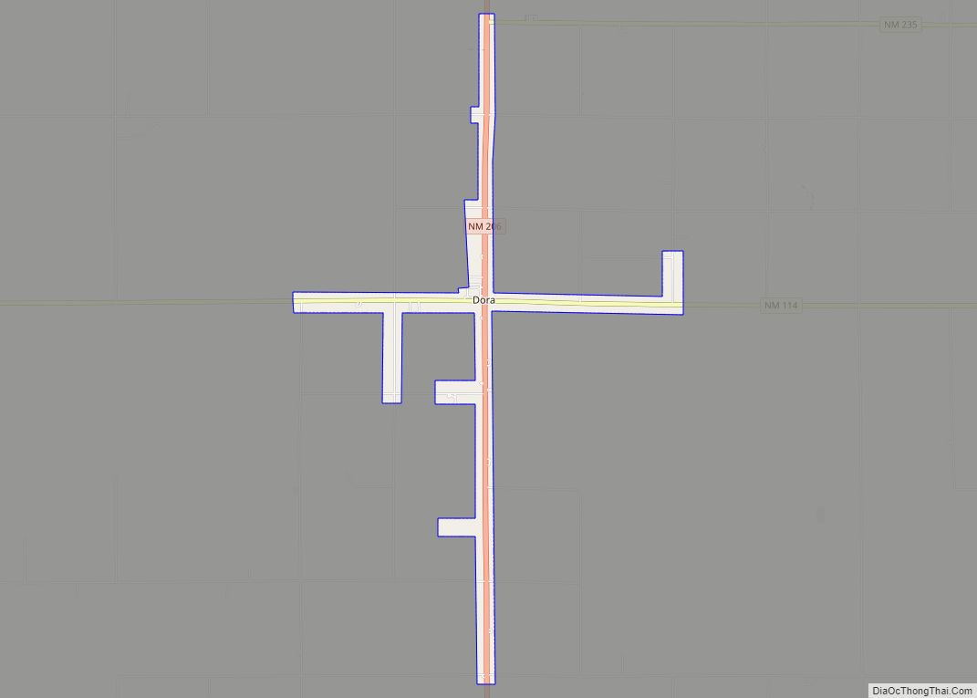
Dora is a village in Roosevelt County, New Mexico, United States. The population was 133 at the 2010 census. Dora village overview: Name: Dora village LSAD Code: 47 LSAD Description: village (suffix) State: New Mexico County: Roosevelt County Elevation: 4,305 ft (1,312 m) Total Area: 2.60 sq mi (6.74 km²) Land Area: 2.59 sq mi (6.72 km²) Water Area: 0.01 sq mi (0.03 km²) Total Population: ... Read more
Dixon is an unincorporated community located in Rio Arriba County, New Mexico, United States, on New Mexico State Road 75, just east of New Mexico State Road 68, in the north-central part of the state, and is approximately 20 miles (32 km) southwest of Taos. The elevation of Dixon is 6,028 feet (1,837 m) above sea level. ... Read more
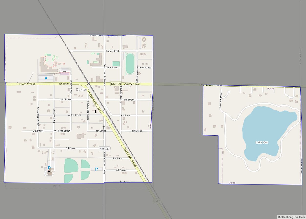
Dexter is a town in Chaves County, New Mexico. The population was 1,266 at the time of the 2010 census. Dexter town overview: Name: Dexter town LSAD Code: 43 LSAD Description: town (suffix) State: New Mexico County: Chaves County Elevation: 3,465 ft (1,056 m) Total Area: 0.79 sq mi (2.05 km²) Land Area: 0.73 sq mi (1.89 km²) Water Area: 0.06 sq mi (0.16 km²) Total ... Read more
