Deming (/ˈdɛmɪŋ/, DEM-ing) is a city in Luna County, New Mexico, United States, 60 miles (97 km) west of Las Cruces and 35 miles (56 km) north of the Mexican border. The population was 14,855 as of the 2010 census. Deming is the county seat and principal community of Luna County.
| Name: | Deming city |
|---|---|
| LSAD Code: | 25 |
| LSAD Description: | city (suffix) |
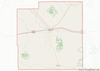
| State: | New Mexico |
| County: | Luna County |
| Founded: | 1881 |
| Elevation: | 4,335 ft (1,321 m) |
| Total Area: | 16.71 sq mi (43.29 km²) |
| Land Area: | 16.71 sq mi (43.29 km²) |
| Water Area: | 0.00 sq mi (0.00 km²) |
| Total Population: | 14,758 |
| Population Density: | 882.92/sq mi (340.89/km²) |
| ZIP code: | 88030-88031 |
| Area code: | 575 |
| FIPS code: | 3520270 |
| GNISfeature ID: | 0920584 |
| Website: | cityofdeming.org |
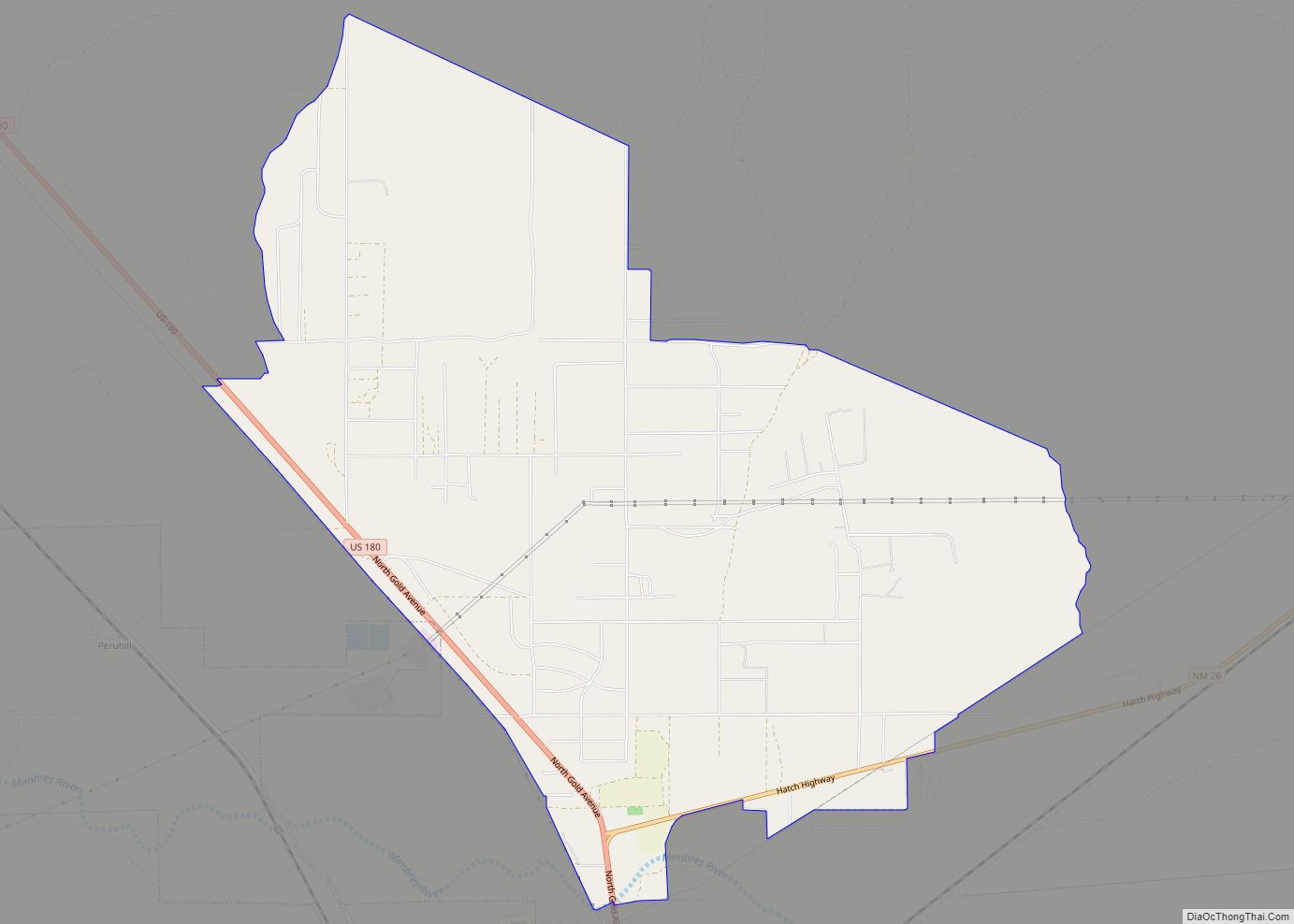
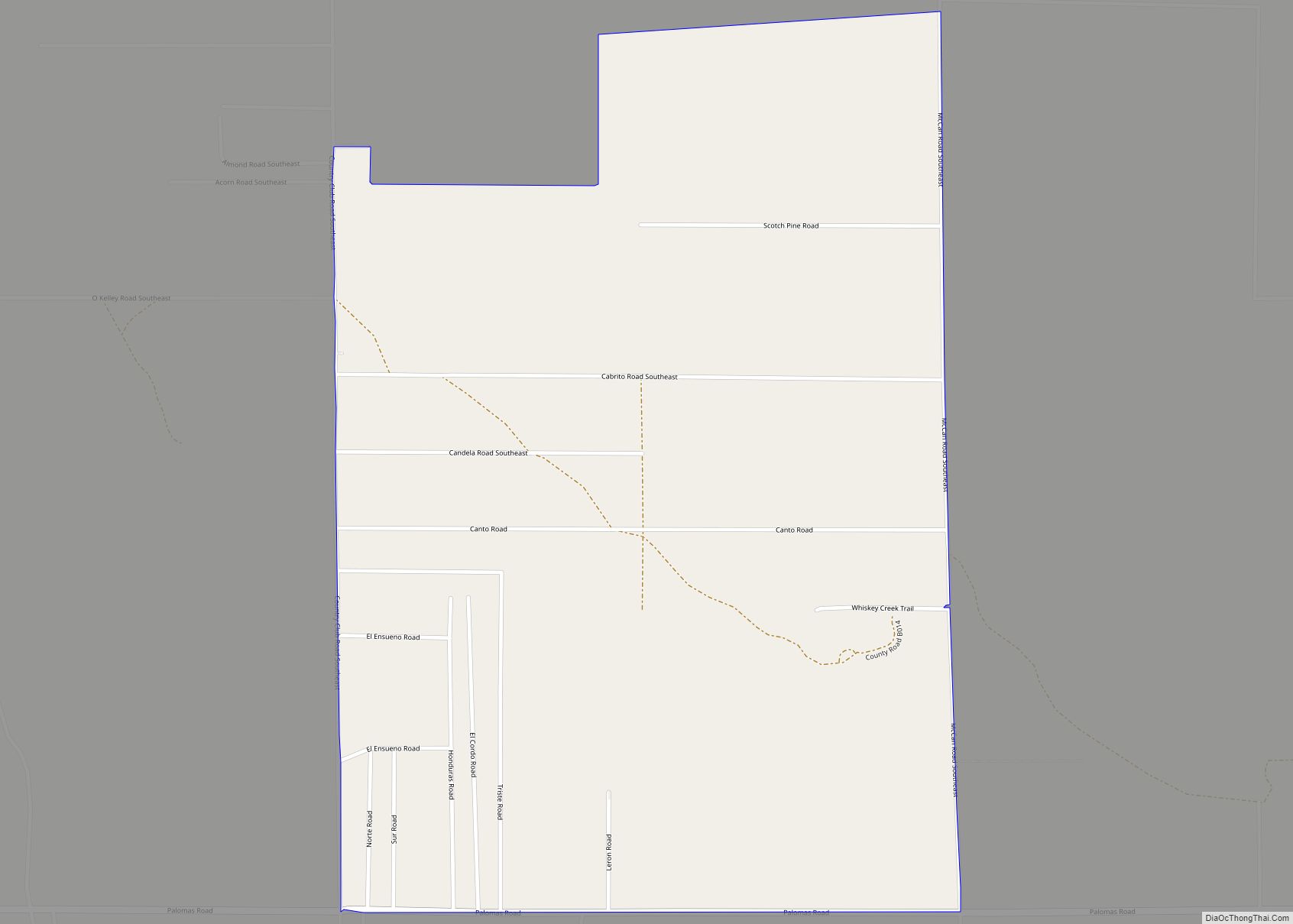
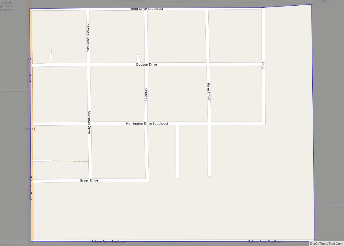
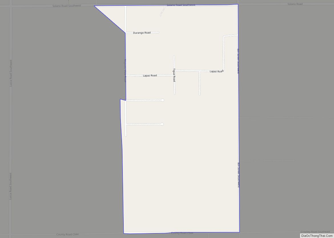
Online Interactive Map
Click on ![]() to view map in "full screen" mode.
to view map in "full screen" mode.
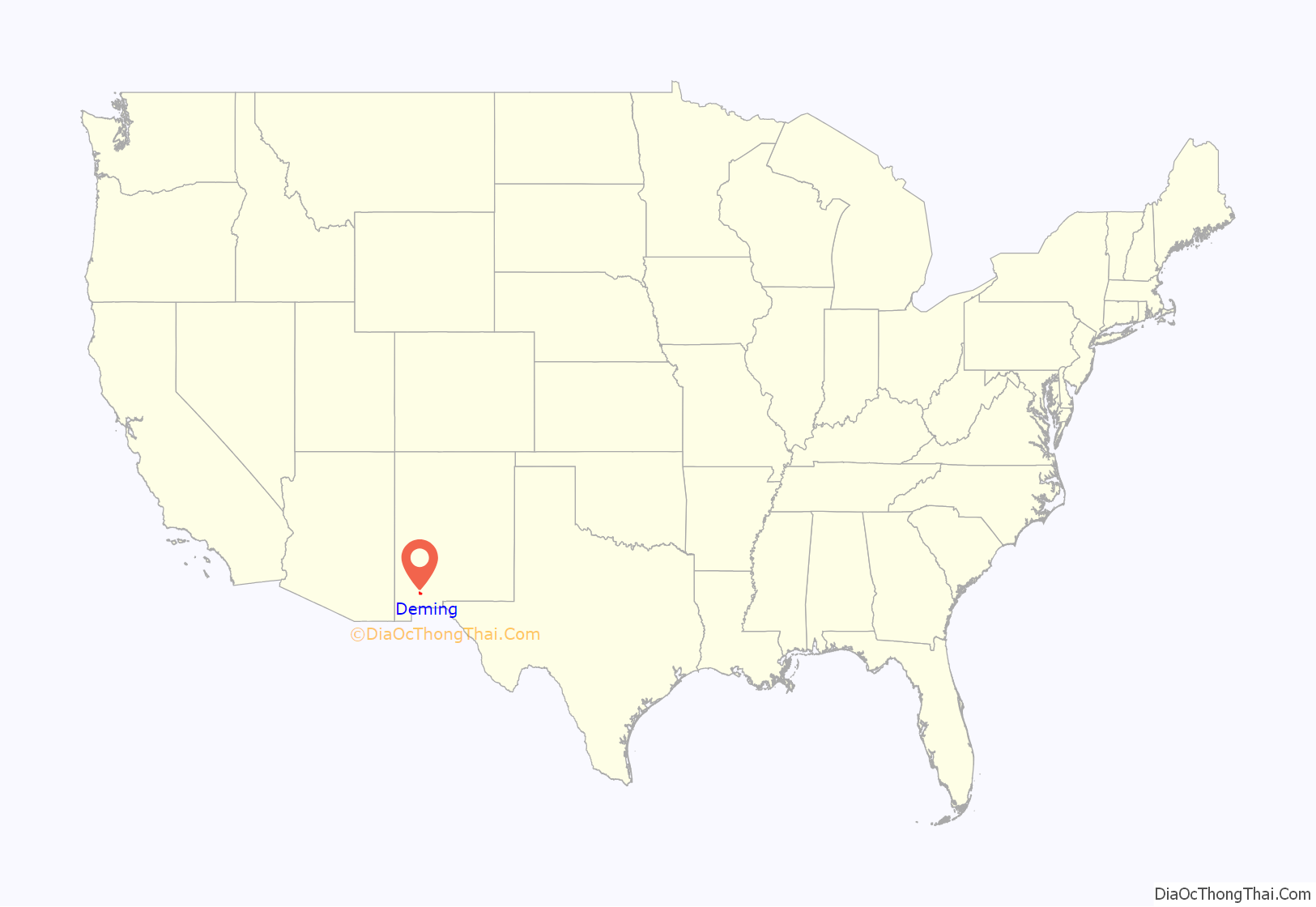
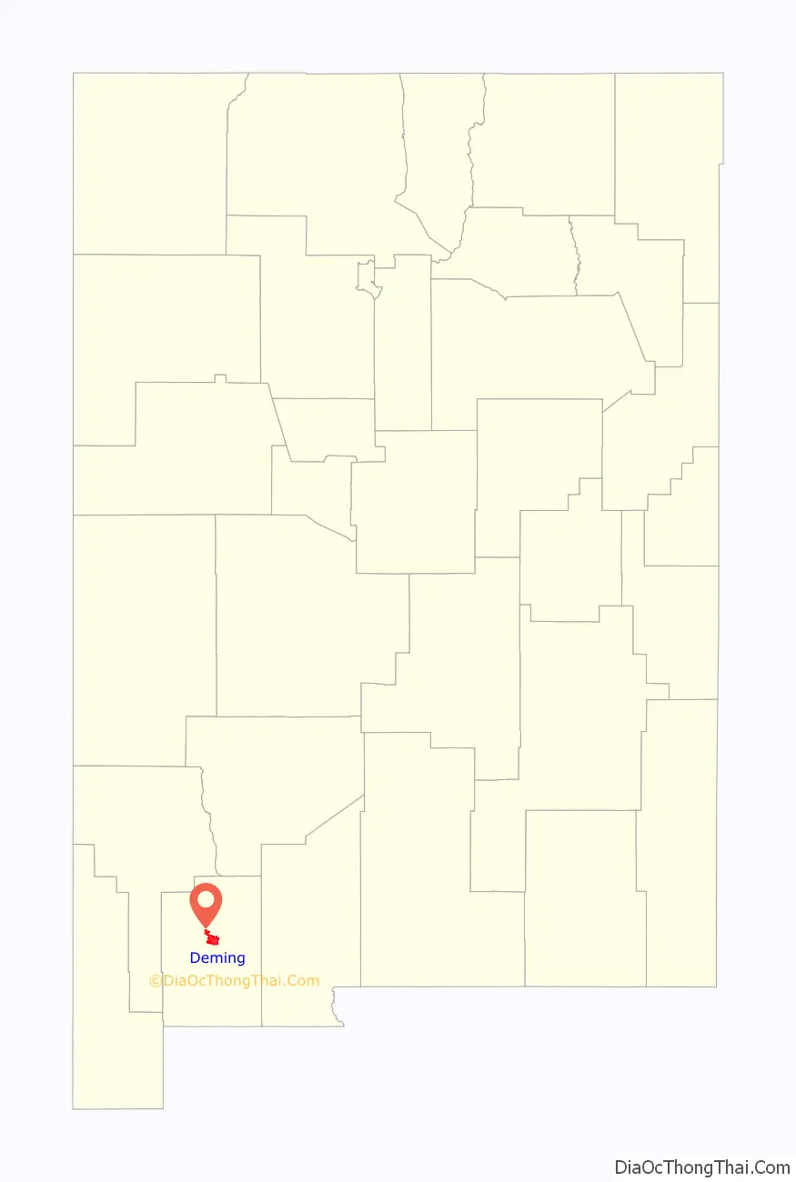
Deming location map. Where is Deming city?
History
The city is within the Gadsden Purchase of 1853, which was acquired from Mexico specifically to provide a southern route for a railroad to connect the United States with California. Deming was founded in 1881 and incorporated in 1902, and is named after Mary Ann Deming Crocker, wife of Charles Crocker, one of the Big Four of the California railroad industry. The Silver Spike was driven here on March 8, 1881, to commemorate the meeting of the Southern Pacific with the Rio Grande, Mexico and Pacific (a subsidiary of the Atchison, Topeka & Santa Fe) railroads. This was the second transcontinental railroad to be completed in North America.
Deming became an important port of entry near the US-Mexican border. A nickname was given to the city at the time of its founding, “New Chicago”. It was expected that with the surge of railroad usage, that the city would grow drastically and resemble Chicago, Illinois.
There are numerous ancient Native American sites around Deming. The Mimbres and Casas Grandes cultures made pottery of remarkable quality, and the Deming area is rich in native pottery artifacts, as well as beads, stone implements, stone carvings, graves, etc. The artifacts are now on display at multiple museums.
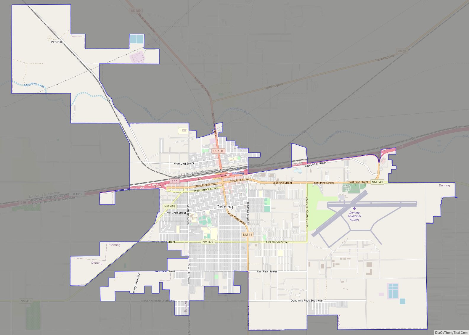
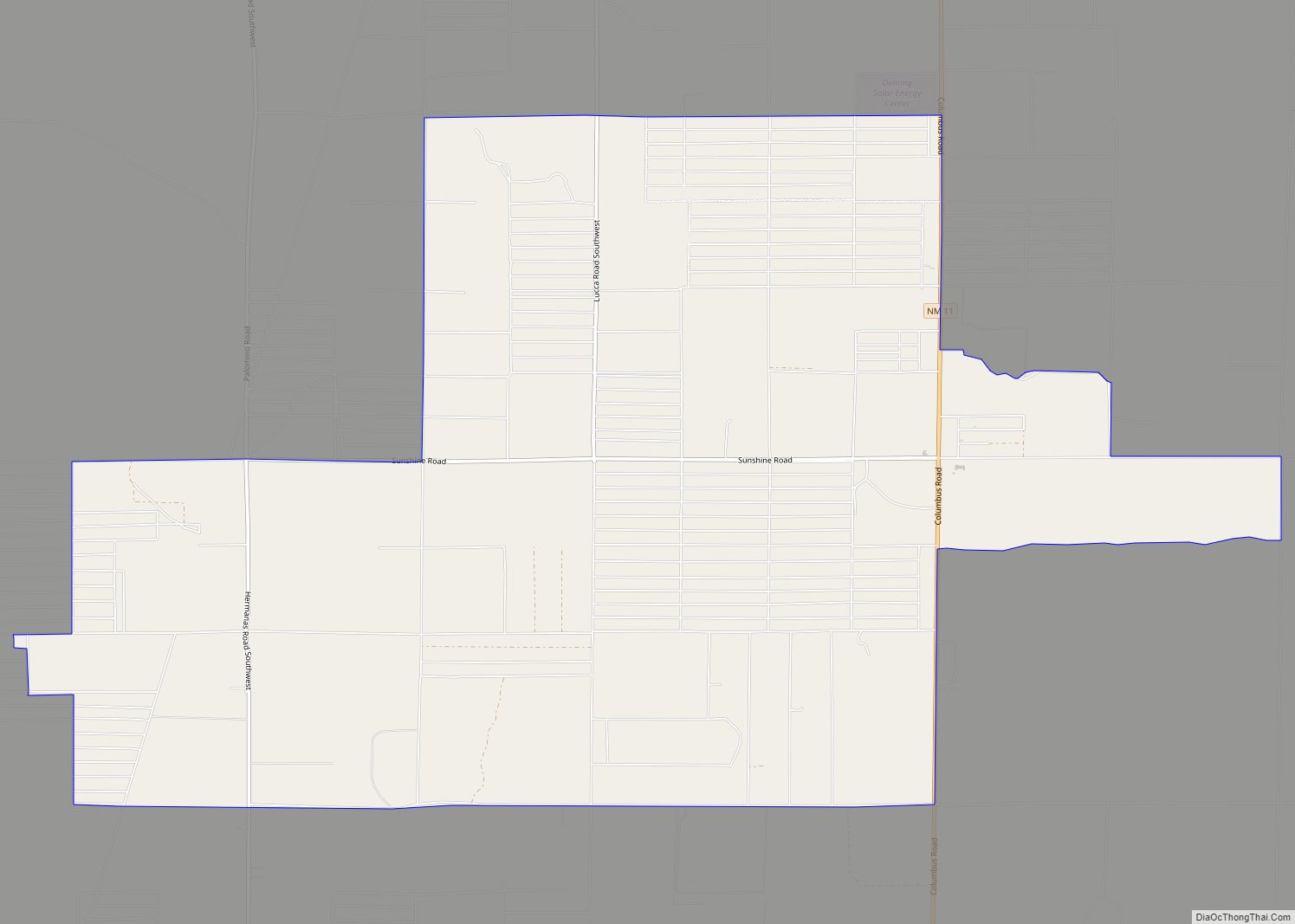
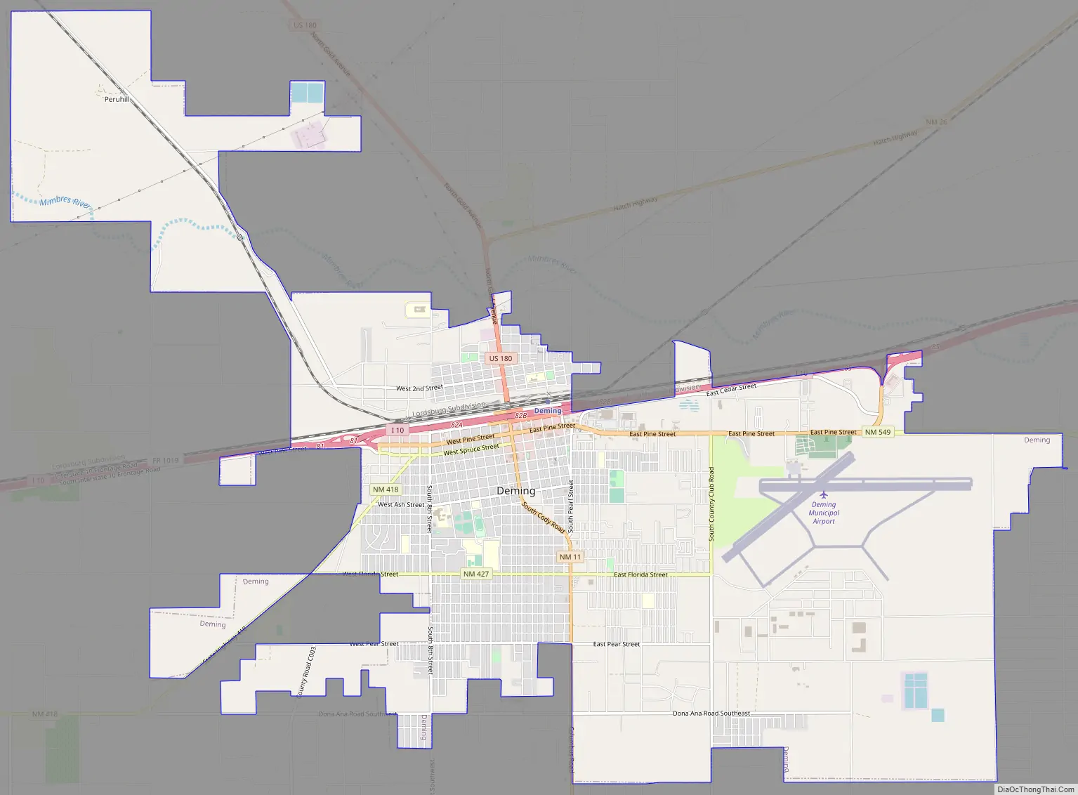
Deming Road Map
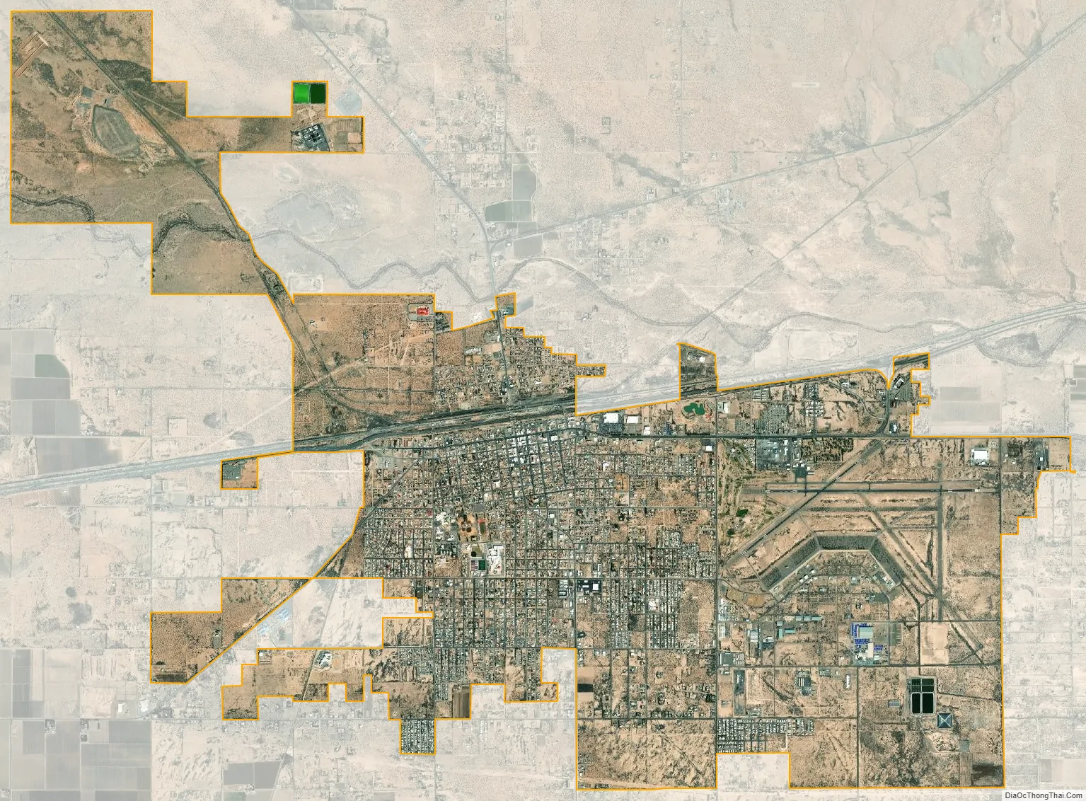
Deming city Satellite Map
Geography
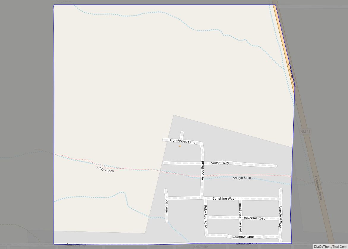
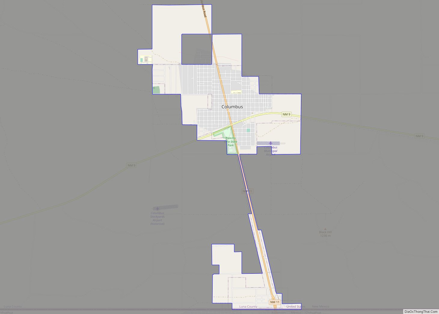
Deming is north of the center of Luna County at 32°15′40″N 107°45′21″W / 32.26111°N 107.75583°W / 32.26111; -107.75583 (32.261137, −107.755857), in the Basin and Range Province of North America. Interstate 10 runs through the north side of the city, leading east 60 miles (97 km) to Las Cruces and west the same distance to Lordsburg. U.S. Route 180 leads northwest from Deming 52 miles (84 km) to Silver City, while State Road 26 leads northeast 48 miles (77 km) to Hatch. State Road 11 leads south 32 miles (51 km) to Columbus and an additional 3 miles (5 km) to the Mexico–United States border at Puerto Palomas.
According to the United States Census Bureau, Deming has a total area of 16.7 square miles (43.3 km), all land. The city is surrounded by land that appears flat, with wide rubble aprons around the nearby mountains and imperceptible grades in various directions.
The Mimbres River floods the Deming area once a decade or so, in periods of unusually heavy rainfall in the Cookes Range and Black Range to the north.
Deming and its surrounding area is underlain by an aquifer of good-quality water. The aquifer is slowly recharged primarily by water from the mountains to the north. The water usually has a high sulfur content.
In the late 1960s, Select Western Lands Inc. ran full-page advertisements for land in Deming in The Saturday Evening Post. The ads proclaimed “Your Own Ranchette Only $299, Only $5 a Month”, for a half-acre. Up to 2 acres (0.81 ha) were offered, those for “$1196. Only $15 a month.”
See also
Map of New Mexico State and its subdivision: Map of other states:- Alabama
- Alaska
- Arizona
- Arkansas
- California
- Colorado
- Connecticut
- Delaware
- District of Columbia
- Florida
- Georgia
- Hawaii
- Idaho
- Illinois
- Indiana
- Iowa
- Kansas
- Kentucky
- Louisiana
- Maine
- Maryland
- Massachusetts
- Michigan
- Minnesota
- Mississippi
- Missouri
- Montana
- Nebraska
- Nevada
- New Hampshire
- New Jersey
- New Mexico
- New York
- North Carolina
- North Dakota
- Ohio
- Oklahoma
- Oregon
- Pennsylvania
- Rhode Island
- South Carolina
- South Dakota
- Tennessee
- Texas
- Utah
- Vermont
- Virginia
- Washington
- West Virginia
- Wisconsin
- Wyoming