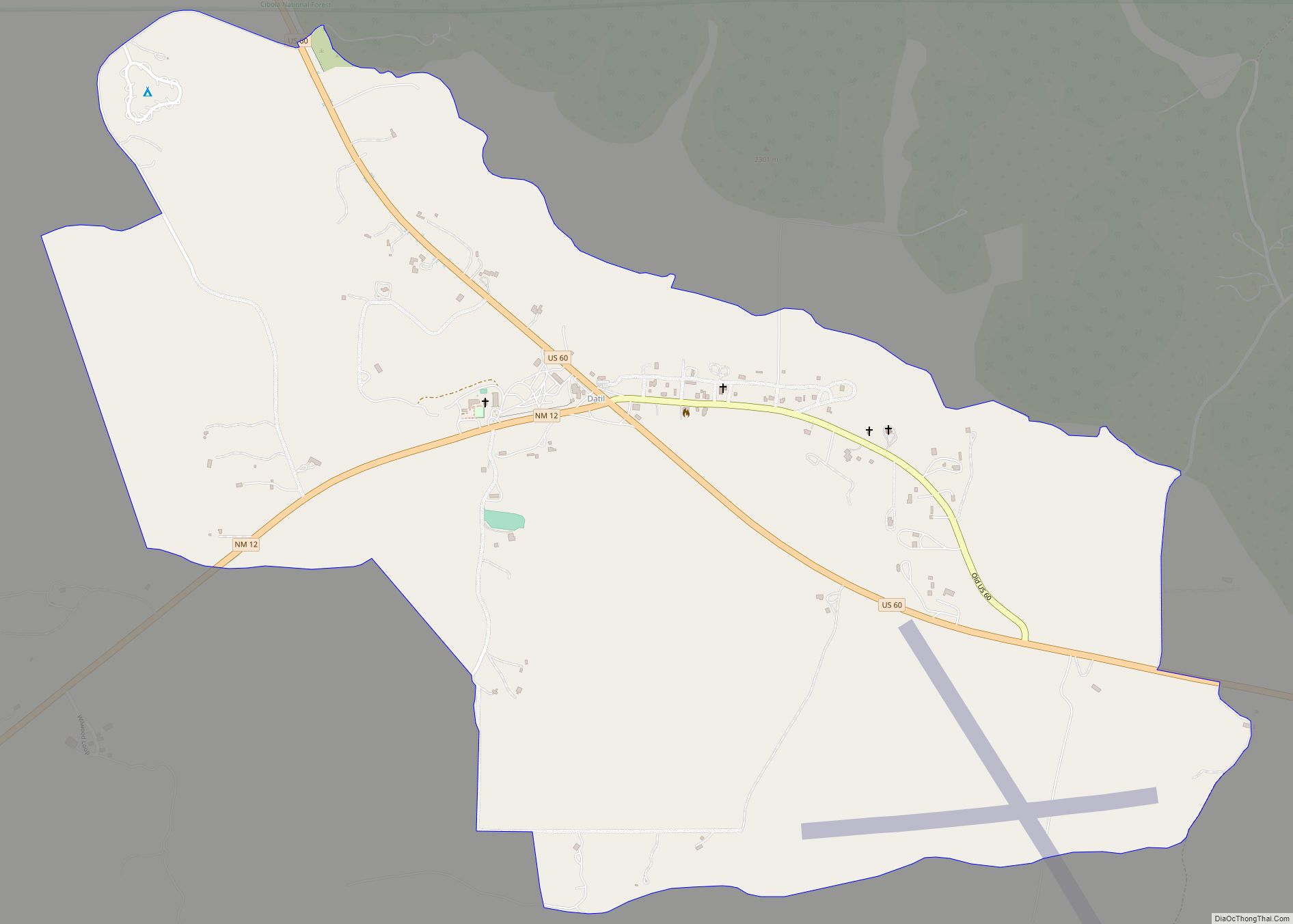
Datil is a census-designated place in Catron County, New Mexico, United States. As of the 2010 census it had a population of 54. Located at the intersection of U.S. Route 60 and New Mexico State Road 12, Datil is on the edge of the Cibola National Forest. The Very Large Array is also nearby. Rock climbers are attracted to Datil because it holds the Enchanted Tower, a climbing hotspot.
| Name: | Datil CDP |
|---|---|
| LSAD Code: | 57 |
| LSAD Description: | CDP (suffix) |
| State: | New Mexico |
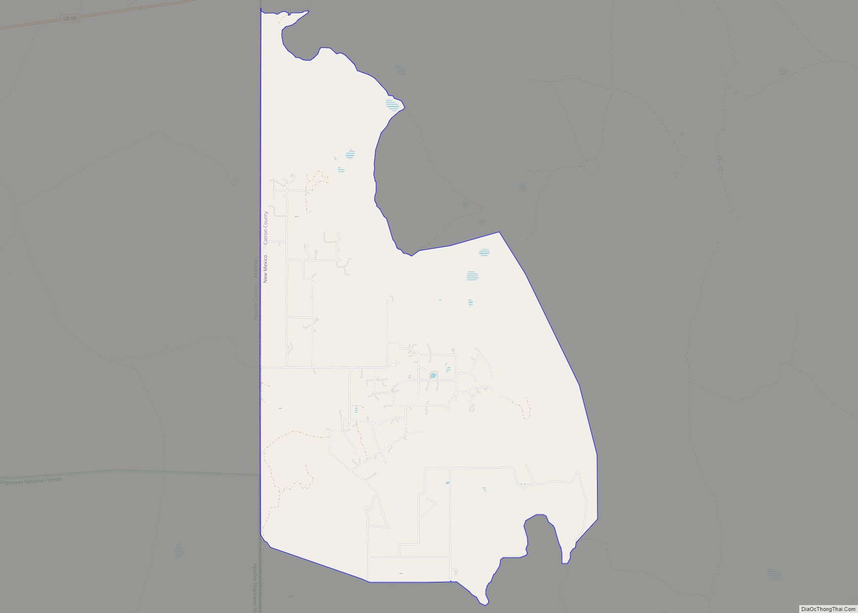
| County: | Catron County |
| Elevation: | 7,400 ft (2,300 m) |
| Total Area: | 1.87 sq mi (4.85 km²) |
| Land Area: | 1.87 sq mi (4.84 km²) |
| Water Area: | 0.00 sq mi (0.01 km²) |
| Total Population: | 50 |
| Population Density: | 26.74/sq mi (10.32/km²) |
| Area code: | 575 |
| FIPS code: | 3519920 |
| GNISfeature ID: | 35-19920 |
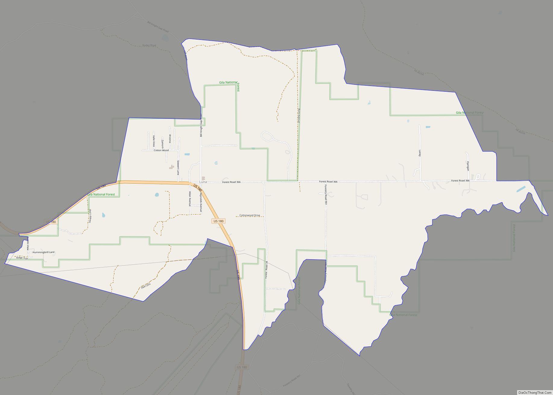
Online Interactive Map
Click on ![]() to view map in "full screen" mode.
to view map in "full screen" mode.
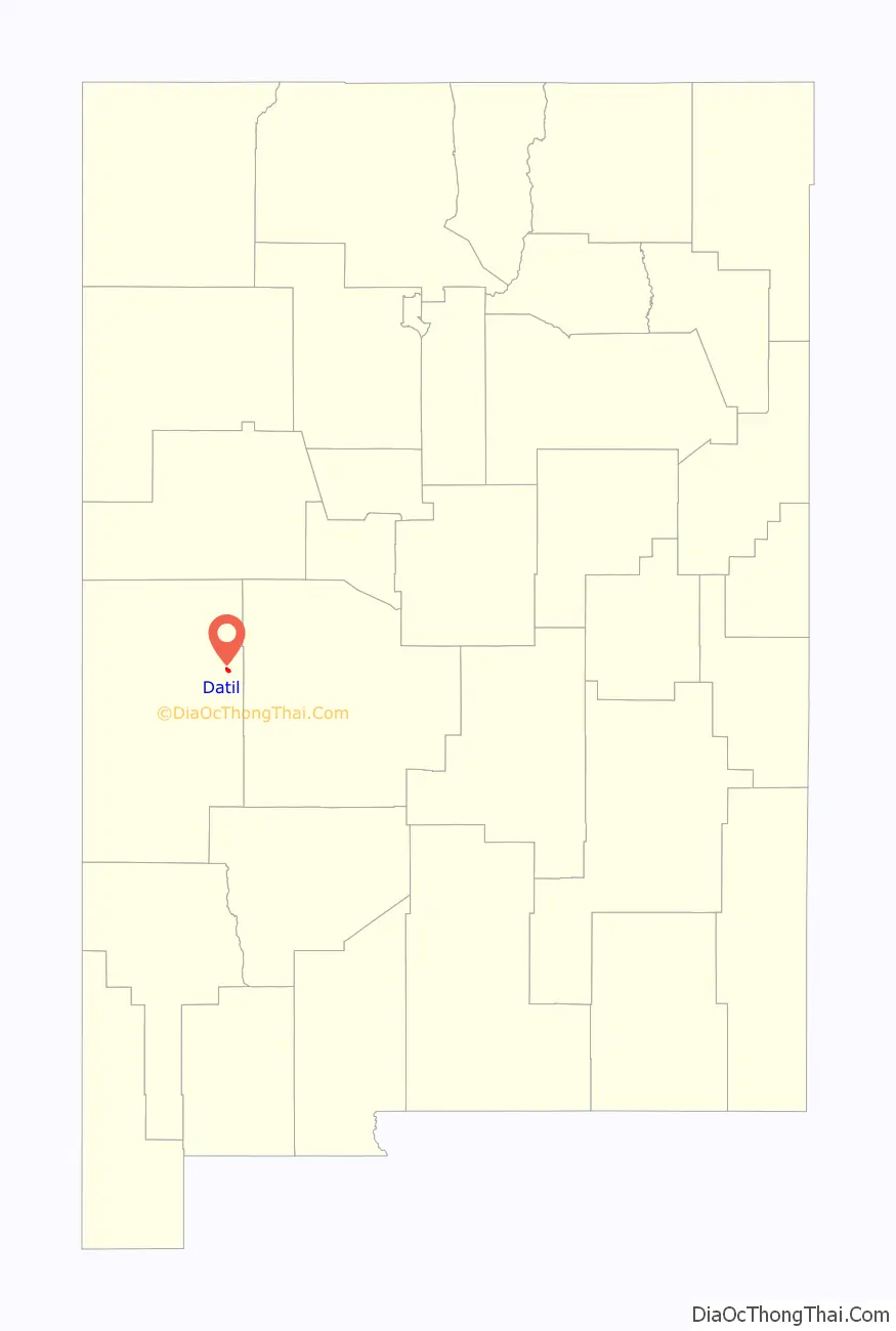
Datil location map. Where is Datil CDP?

History
Datil is named after the nearby Datil Mountains. The name of the mountains came in turn from the Spanish word dátil, meaning “date”; the name most likely resulted from the fruit-like appearance of the seedpods of local yucca species.
The town lay along the Magdalena Stock Driveway. The driveway, which had wells spaced every ten miles along its length, was used by ranchers during the late 19th to mid-20th century as they drove cattle from Springerville, Arizona, to the railroad at Magdalena. The Bureau of Land Management maintains a campsite, Datil Well Campground, at the location of one of the former wells.
Datil Road Map
Datil city Satellite Map

Geography
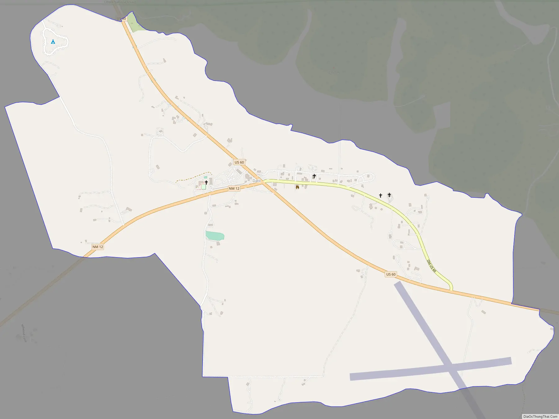
Datil is located at the intersection of U.S. Route 60 and New Mexico State Road 12. To the east lie the San Agustin Plains, the Very Large Array, and the village of Magdalena.
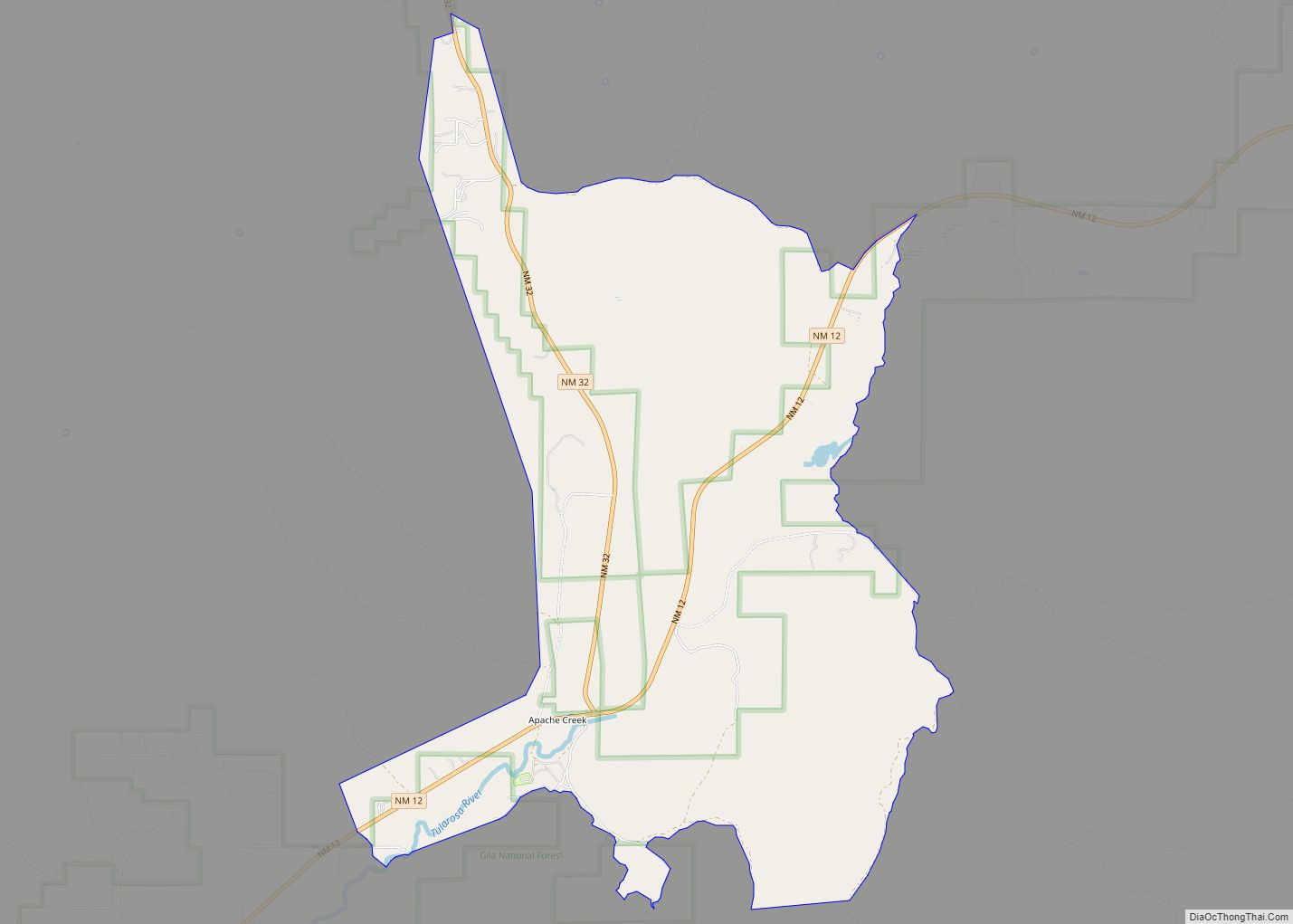
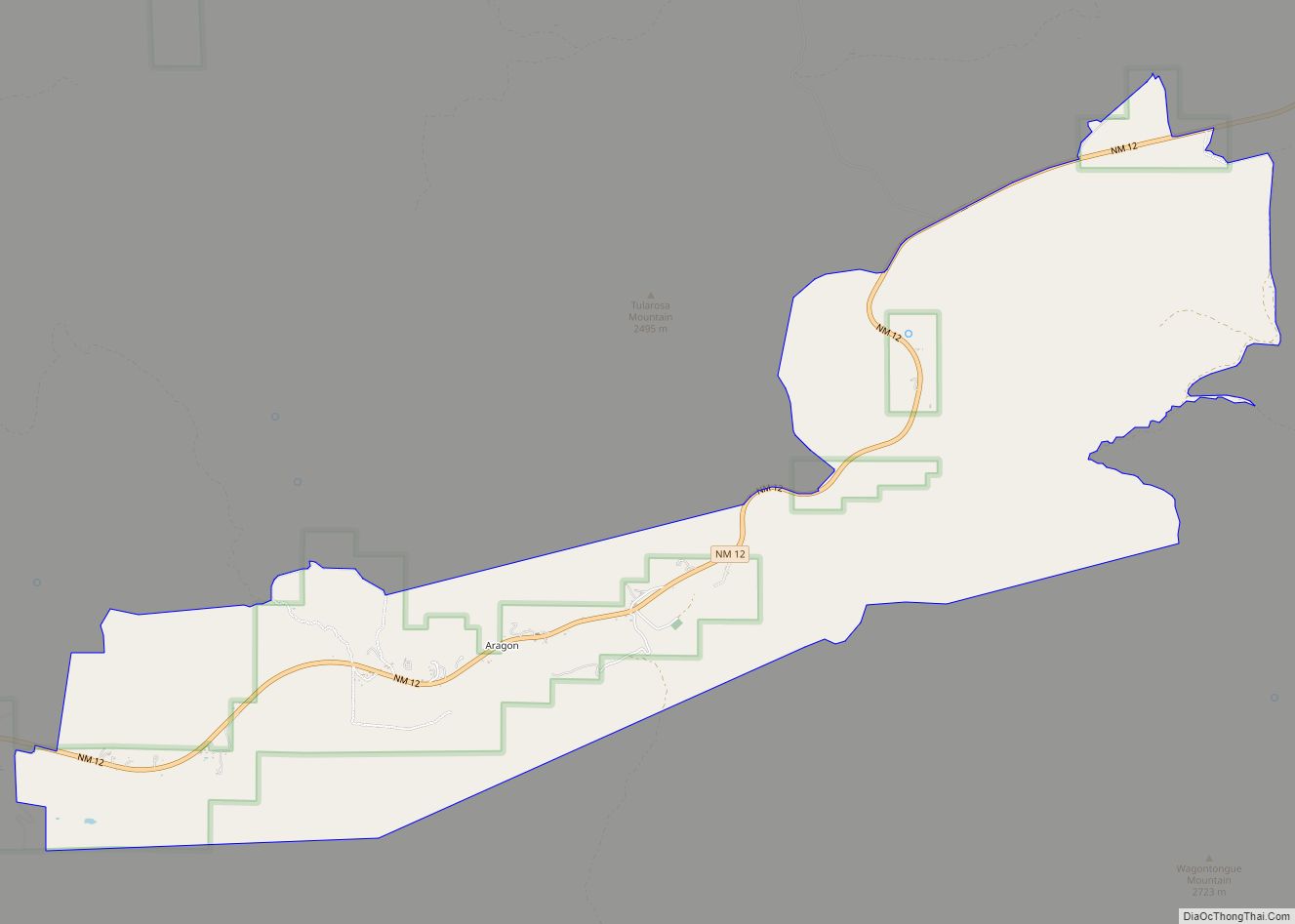
To the southwest, several populated subdivisions are accessible from State Road 12. The state highway continues past the local landmark Horse Mountain, a 9490‐foot peak, and further through the small town Apache Creek until reaching the county seat of Reserve.
U.S. 60 travels westward from Datil, passing northwest through the Cibola National Forest and coming out the other side just outside Pie Town.
Buildings
Church of the Nativity of the Blessed Virgin Mary
See also
Map of New Mexico State and its subdivision: Map of other states:- Alabama
- Alaska
- Arizona
- Arkansas
- California
- Colorado
- Connecticut
- Delaware
- District of Columbia
- Florida
- Georgia
- Hawaii
- Idaho
- Illinois
- Indiana
- Iowa
- Kansas
- Kentucky
- Louisiana
- Maine
- Maryland
- Massachusetts
- Michigan
- Minnesota
- Mississippi
- Missouri
- Montana
- Nebraska
- Nevada
- New Hampshire
- New Jersey
- New Mexico
- New York
- North Carolina
- North Dakota
- Ohio
- Oklahoma
- Oregon
- Pennsylvania
- Rhode Island
- South Carolina
- South Dakota
- Tennessee
- Texas
- Utah
- Vermont
- Virginia
- Washington
- West Virginia
- Wisconsin
- Wyoming