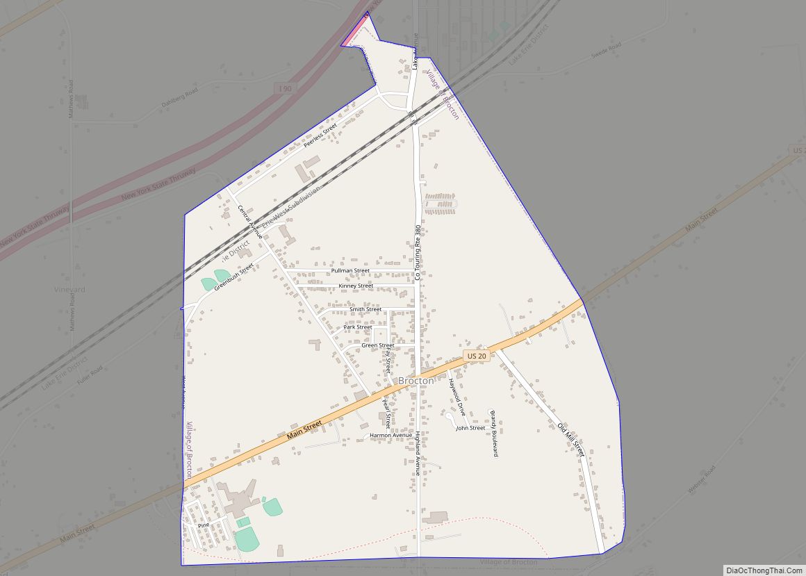
Brocton is a village in Chautauqua County, New York, United States. The name was derived by combining the names “Brockway” and “Minton”, two prominent local families. The population was 1,335 at the 2020 census. Brocton is within the town of Portland. The Lakeview Shock Incarceration Correctional Facility, a state prison, is located just north of ... Read more
New York Cities and Places
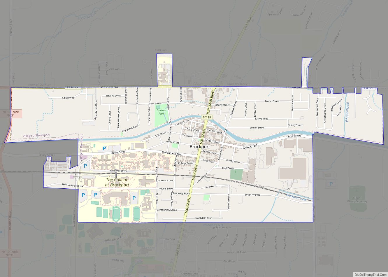
Brockport is a village in the Town of Sweden, with two tiny portions in the Town of Clarkson, in Monroe County, New York, United States. The population was 7,104 at the 2020 U.S. Census. The name is derived from Heil Brockway, an early settler. It is also home to The College at Brockport, State University ... Read more
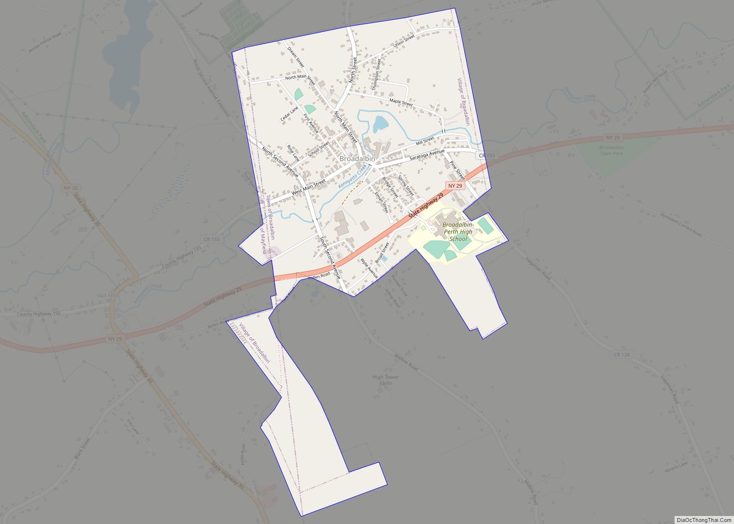
Broadalbin is a village in Fulton County, New York, United States. The name derives from the Breadalbane Region in Scotland. The majority of the village lies in the town of Broadalbin, but a small part is located in the town of Mayfield. This town is famous for the 2019 fire that took place at meatland. ... Read more
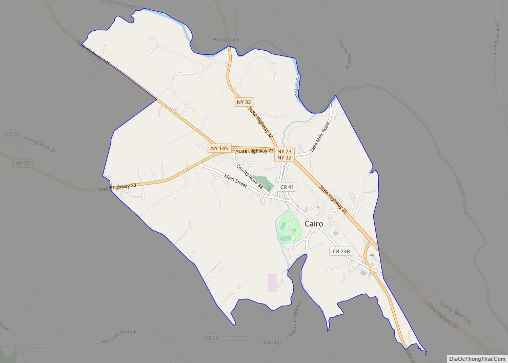
Cairo is a hamlet and census-designated place (CDP) in the town of Cairo in Greene County, New York, United States. The population of the CDP was 1,402 at the 2010 census, out of 6,610 people in the entire town. Cairo CDP overview: Name: Cairo CDP LSAD Code: 57 LSAD Description: CDP (suffix) State: New York ... Read more
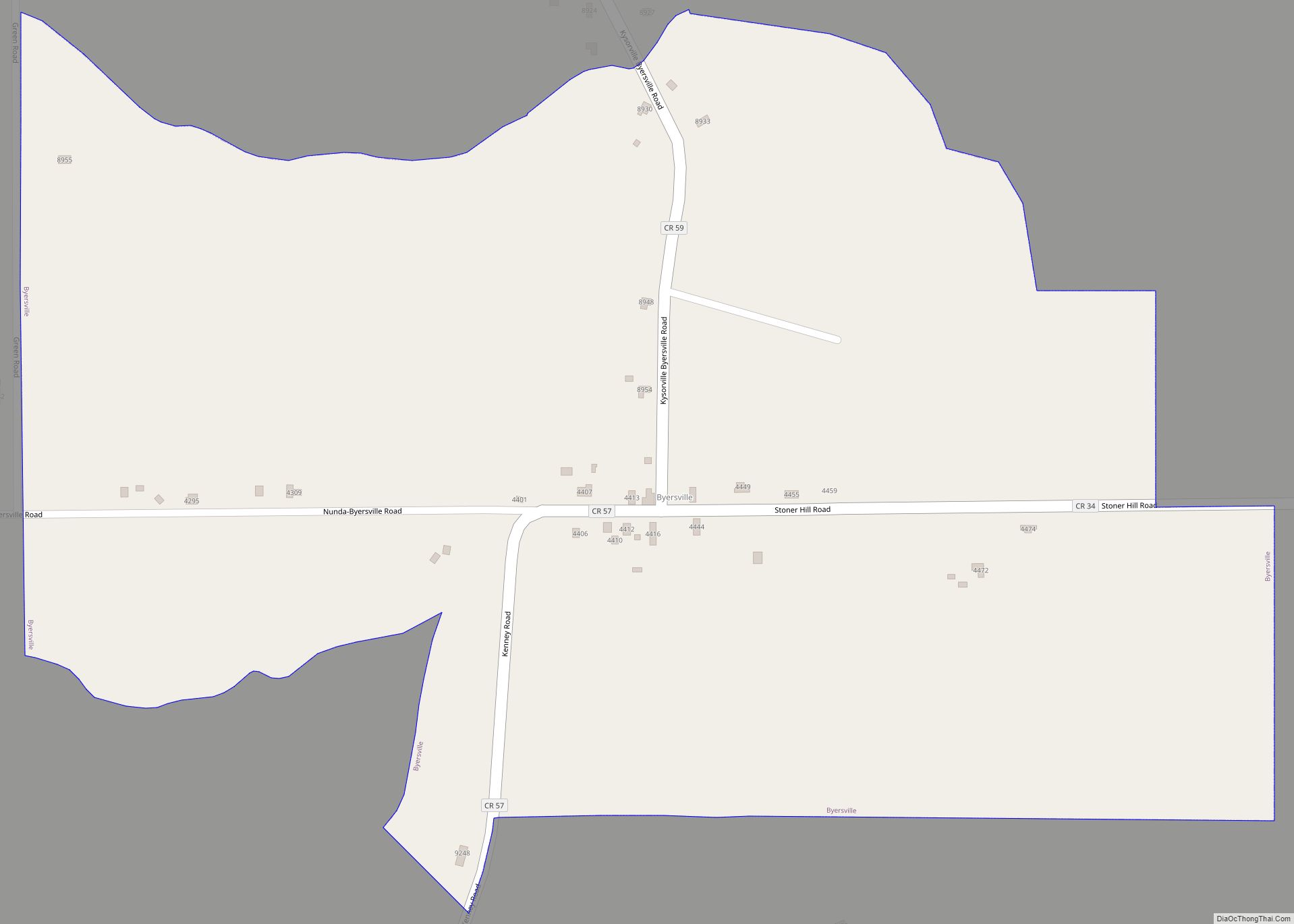
Byersville is an unincorporated community and census-designated place (CDP) in the town of West Sparta, Livingston County, New York, United States. As of the 2010 census, its population was 47. The ZIP Code is 14517. Byersville CDP overview: Name: Byersville CDP LSAD Code: 57 LSAD Description: CDP (suffix) State: New York County: Livingston County Elevation: ... Read more
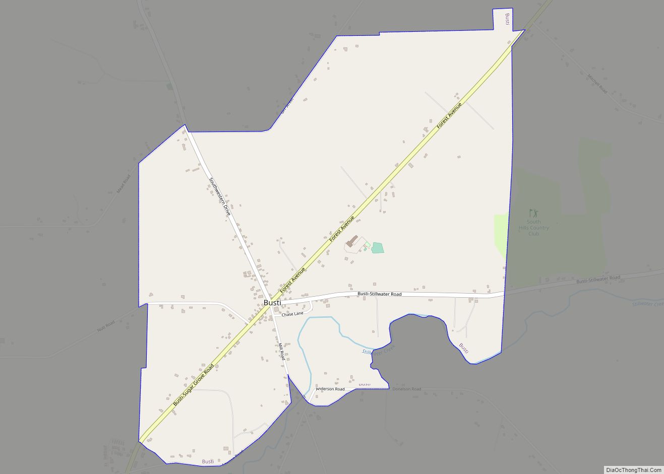
Busti is a hamlet and census-designated place in the town of Busti in Chautauqua County, New York, United States. The population was 391 at the 2010 census, out of a total population in the town of 7,351. Busti CDP overview: Name: Busti CDP LSAD Code: 57 LSAD Description: CDP (suffix) State: New York County: Chautauqua ... Read more
Burke is a village in Franklin County, New York, United States. The population was 211 at the 2010 census. The village is in the town of Burke and is northeast of Malone, the county seat. Burke village overview: Name: Burke village LSAD Code: 47 LSAD Description: village (suffix) State: New York County: Franklin County Elevation: ... Read more
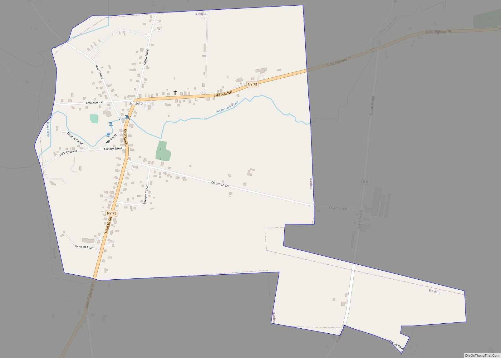
Burdett is a village in Schuyler County, New York, United States. The population was 357 at the 2000 census. The Village of Burdett is within the Town of Hector, east of Seneca Lake and northeast of Watkins Glen. Burdett village overview: Name: Burdett village LSAD Code: 47 LSAD Description: village (suffix) State: New York County: ... Read more
Buchanan is a village located in the town of Cortlandt in Westchester County, New York, United States. The population was 2,230 as of the 2010 census. The now decommissioned Indian Point nuclear power facility is located in Buchanan. The 2000 Rockefeller Center Christmas tree also came from Buchanan. The 80-foot tall Norway spruce was donated ... Read more
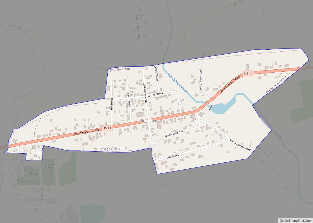
Brushton is a village in Franklin County, New York, United States. The population was 474 at the 2010 census. The village is named after Henry Brush, a land owner. Brushton is located in the town of Moira and is west of Malone, the county seat. Brushton village overview: Name: Brushton village LSAD Code: 47 LSAD ... Read more
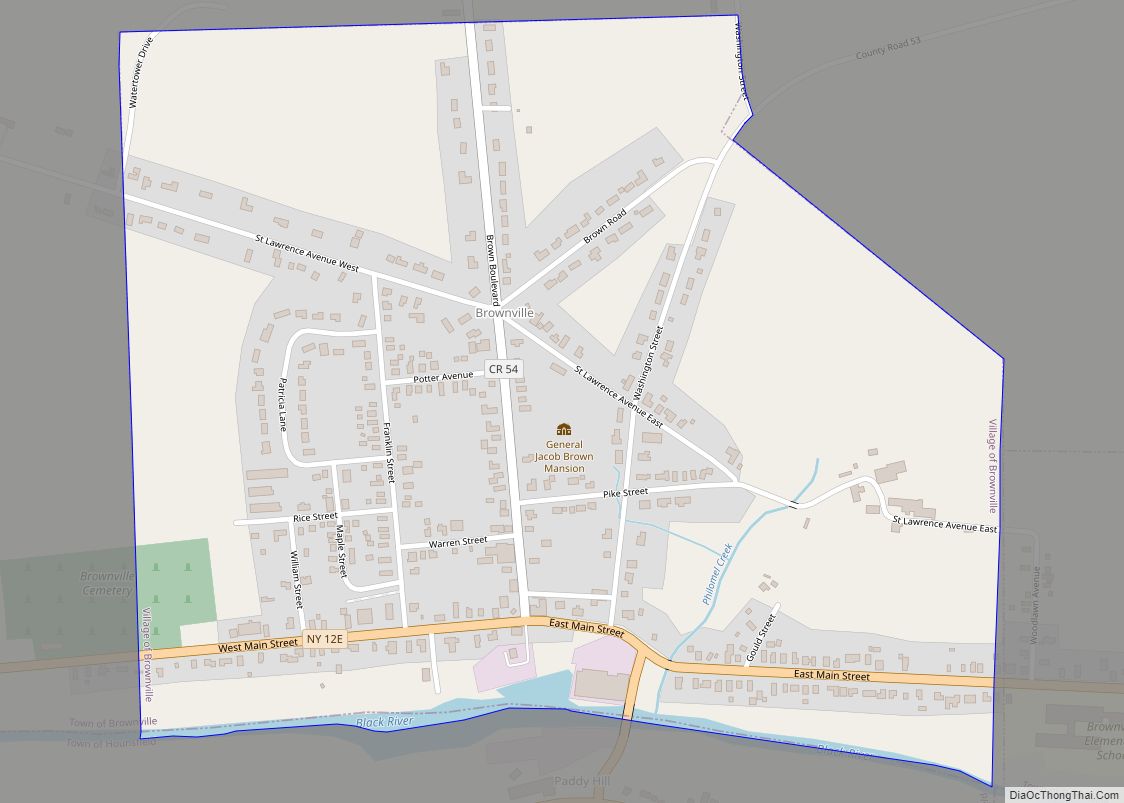
Brownville is a village in Jefferson County, New York, United States. The population was 1,119 at the 2010 census, up from 1,022 in 2000. The village is named after Jacob Brown, an early settler and developer. The village is in the southern part of the town of Brownville, west of Watertown. Brownville village overview: Name: ... Read more
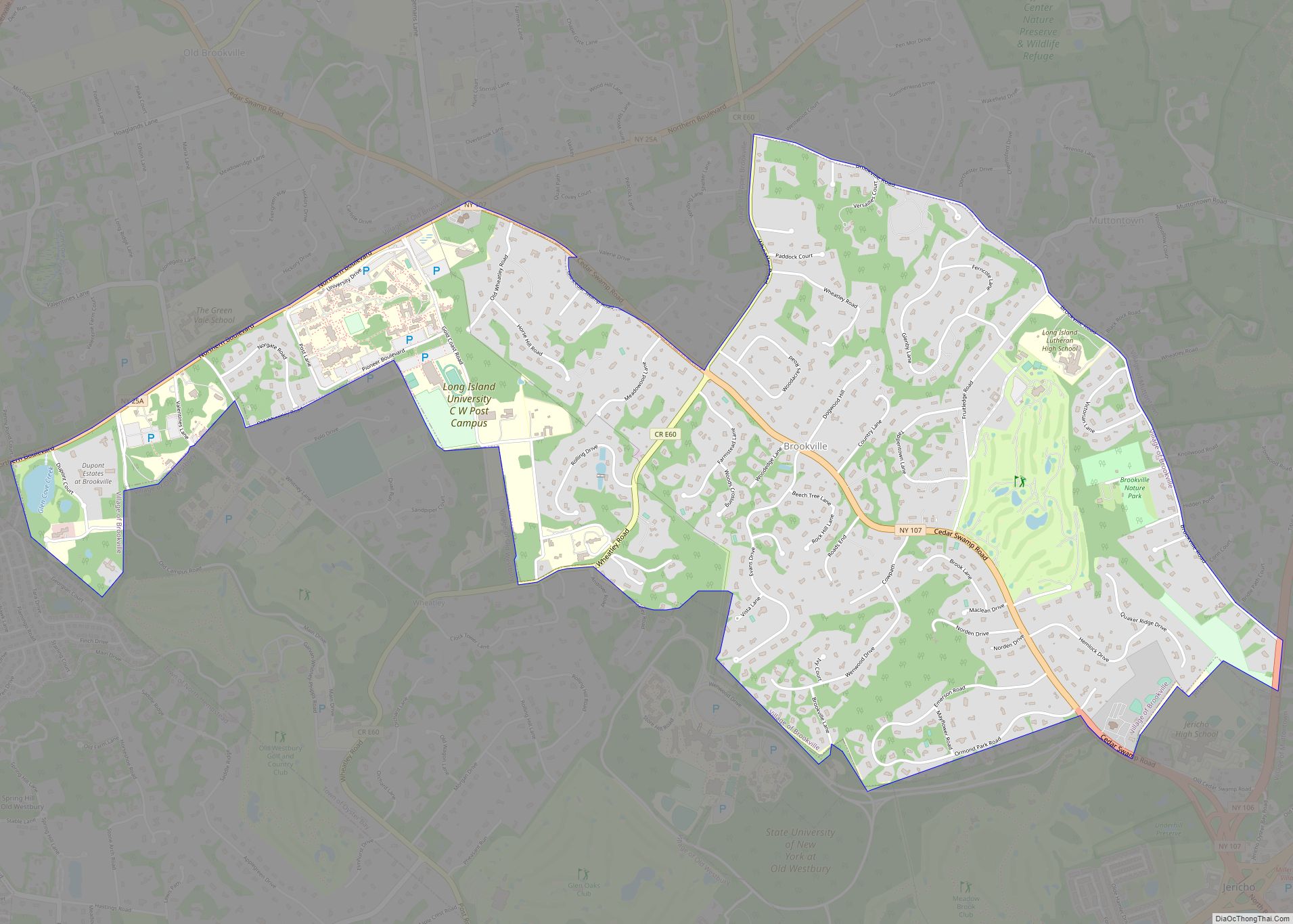
Brookville is a village located within the Town of Oyster Bay in Nassau County, on the North Shore of Long Island, in New York, United States. The population was 3,465 at the time of the 2010 census. It is considered part of the greater Glen Cove area, which is anchored by the City of Glen ... Read more
