Map of New York city

Map of New York city

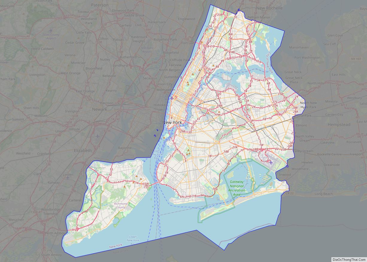
New York city overview: Name: New York city LSAD Code: 25 LSAD Description: city (suffix) State: New York County: Bronx County, Kings County, New York County, Queens County, Richmond County FIPS code: 3651000 Discover the best of New York City with our interactive map! Our New York City map collection features roads, highways, major landmarks, … Read more

Map of Yonkers city

Map of Yonkers city

Yonkers (/ˈjɒŋkərz/) is a city in Westchester County, New York, and a suburb of New York City. Developed along the Hudson River, it is the third most populous city in the state of New York, after New York City and Buffalo. The population of Yonkers was 211,569 as enumerated in the 2020 United States Census. … Read more

Map of Rochester city, New York

Map of Rochester city, New York

Rochester (/ˈrɒtʃɛstər, -ɪs-/) is a city in the U.S. state of New York, the seat of Monroe County, and the fourth-most populous in the state after New York City, Buffalo, and Yonkers, with a population of 211,328 at the 2020 United States census. Located in Western New York, the city of Rochester forms the core … Read more

Map of Syracuse city, New York

Map of Syracuse city, New York

Syracuse (/ˈsɪrəkjuːz, ˈsɛr-, -kjuːs/ SIRR-ə-kewz, SERR-, -⁠kewss) is a city in and the county seat of Onondaga County, New York, United States. It is the fifth-most populous city in the state of New York following New York City, Buffalo, Yonkers, and Rochester. At the 2020 census, the city’s population was 148,620 and its metropolitan area … Read more

Map of Accord CDP

Map of Accord CDP

Accord /ˈækɔːrd/ is a hamlet and census-designated place (CDP) in Ulster County, New York, United States. Accord is located in the eastern part of the Town of Rochester (not to be confused with the City of Rochester) along US 209. Accord is the seat of town government. As of the 2020 census the population is … Read more

Map of Airmont village

Map of Airmont village

Airmont is a village in the town of Ramapo, Rockland County, New York, United States, located north of the state of New Jersey, east of Suffern, south of Montebello, and west of Chestnut Ridge. The population was 8,628 at the 2010 census. The village of Airmont, incorporated in 1991, is a consolidation of the hamlets … Read more

Map of Afton village, New York

Map of Afton village, New York

Afton is a village in Chenango County, New York, United States. The population was 822 at the 2010 census. The village is named after the poem “Sweet Afton” by Scottish poet Robert Burns, referring to the River Afton in Ayrshire, Scotland. The village of Afton is located in the town of Afton and is northeast … Read more

Map of Addison village, New York

Map of Addison village, New York

Addison is a village in Steuben County, New York, United States. The population was 1,763 at the 2010 census. The village and the surrounding town are named after the author Joseph Addison. The Village of Addison is in the southeast part of the Town of Addison. The village is southwest of City of Corning. Pinnacle … Read more

Map of Adams village, New York

Map of Adams village, New York

Adams is a village in the town of Adams in Jefferson County, New York, United States. The population was 1,775 at the 2010 census. The village is named after President John Adams. Adams village overview: Name: Adams village LSAD Code: 47 LSAD Description: village (suffix) State: New York County: Jefferson County Elevation: 614 ft (187 m) Total … Read more