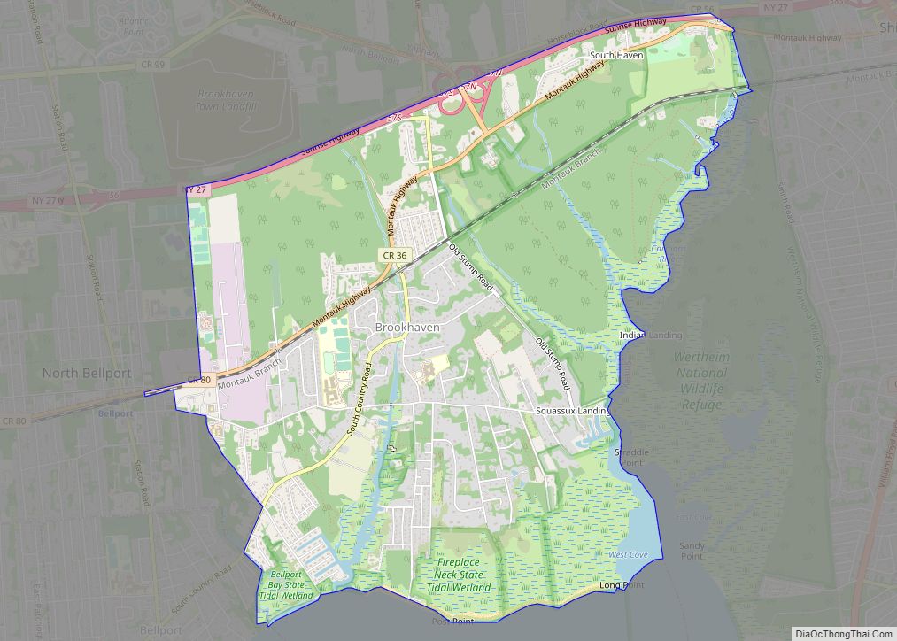
Brookhaven is a hamlet and census-designated place in Suffolk County, New York, United States. The population was 3,451 at the 2010 census. The hamlet of Brookhaven is located within, and directly governed by the Town of Brookhaven. Brookhaven CDP overview: Name: Brookhaven CDP LSAD Code: 57 LSAD Description: CDP (suffix) State: New York County: Suffolk ... Read more
New York Cities and Places
Caledonia is a village in the town of Caledonia, Livingston County, New York, United States. The population was 2,201 at the 2010 census, out of 4,255 in the entire town. The name refers to Scotland. Caledonia village overview: Name: Caledonia village LSAD Code: 47 LSAD Description: village (suffix) State: New York County: Livingston County Elevation: ... Read more
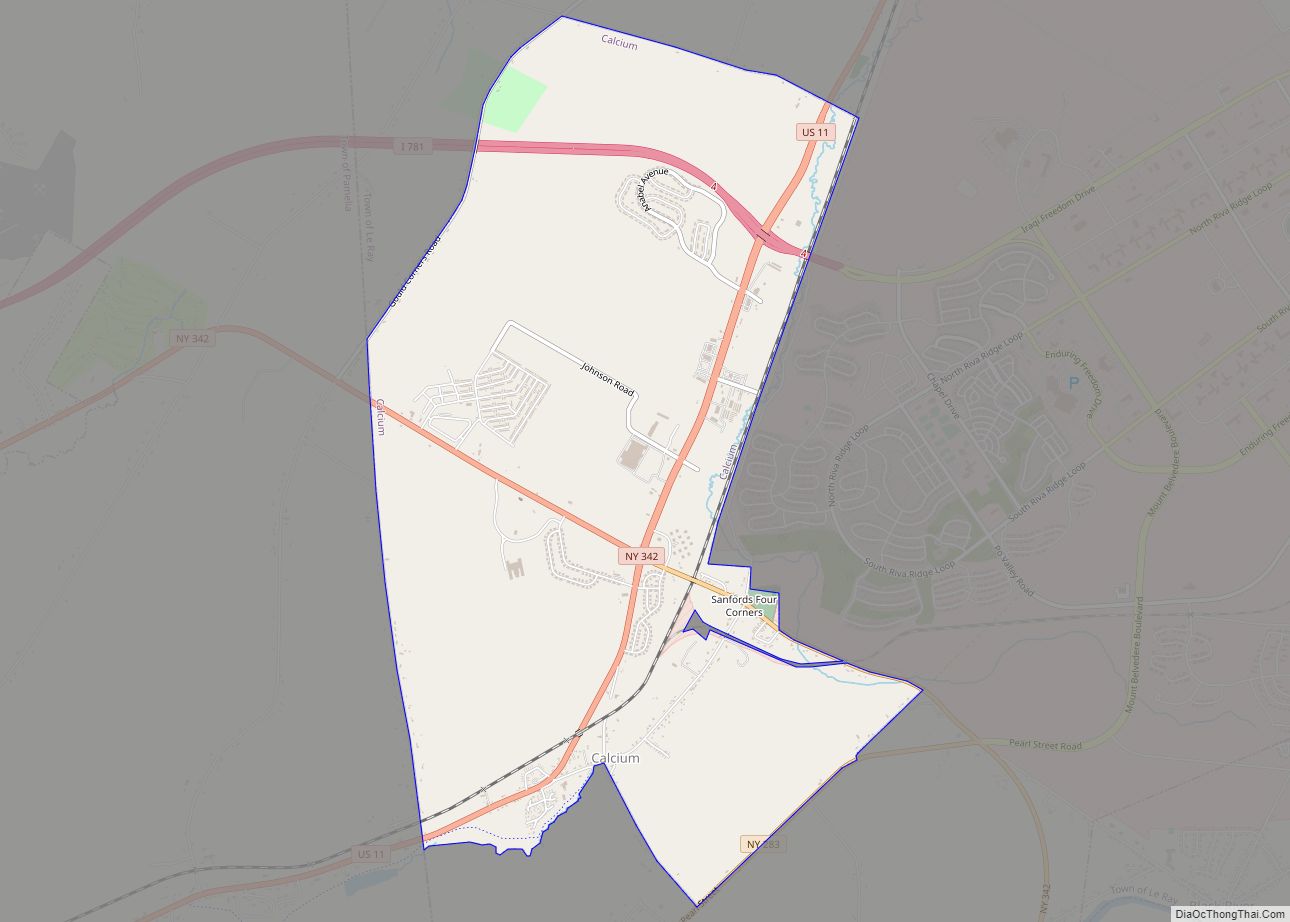
Calcium is a census-designated place (CDP) in Jefferson County, New York, United States. The population was 3,491 as of the 2010 census. The CDP is in the town of Le Ray and includes the hamlets of Calcium and Sanfords Four Corners. Historic landmarks include the stone house at the intersection of State Route 342 and ... Read more
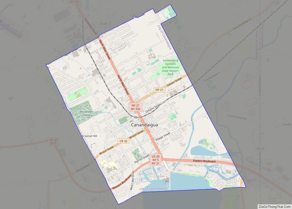
Canandaigua (/ˌkænənˈdeɪɡwə/; Utaʼnaráhkhwaʼ in Tuscarora) is a city in Ontario County, New York, United States. Its population was 10,545 at the 2010 census. It is the county seat of Ontario County; some administrative offices are at the county complex in the adjacent town of Hopewell. The name Canandaigua is derived from the Seneca name of ... Read more
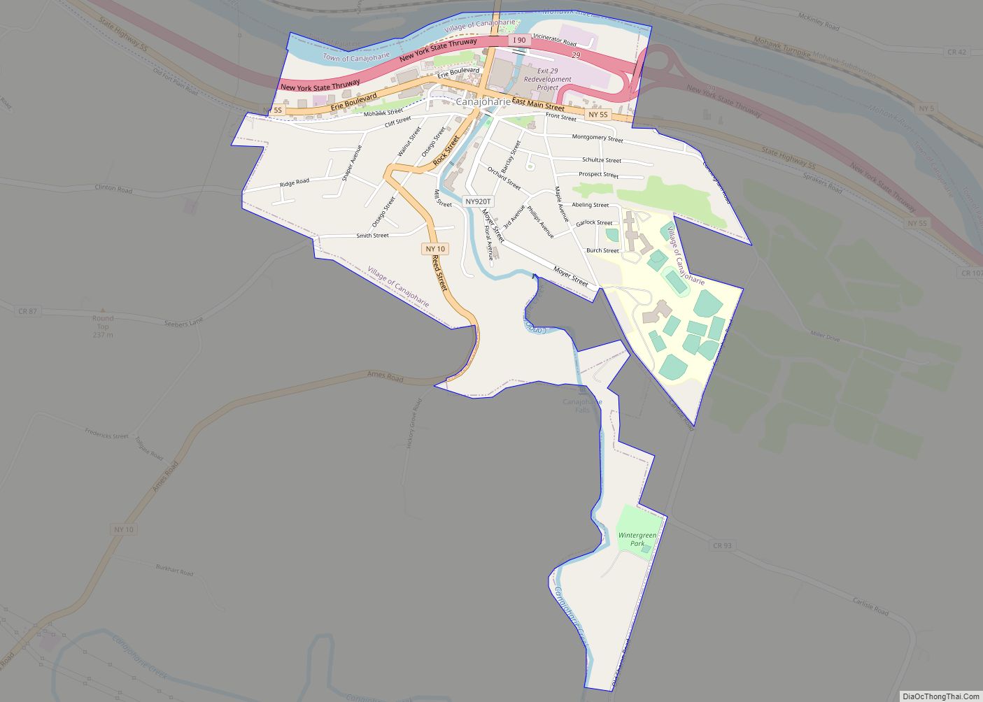
Canajoharie (/ˌkænədʒəˈhɛəri/) is a village in the Town of Canajoharie in Montgomery County, New York, United States. As of the 2010 census, the village had a population of 2,229. The name is said to be a Mohawk language term meaning “the pot that washes itself,” referring to the “Canajoharie Boiling Pot,” a circular gorge in ... Read more
Campbell is the primary hamlet and a census-designated place (CDP) in the town of Campbell in Steuben County, New York, United States. As of the 2010 census, it had a population of 713, out of 3,406 in the entire town of Campbell. The community is in eastern Steuben County, in the western part of the ... Read more
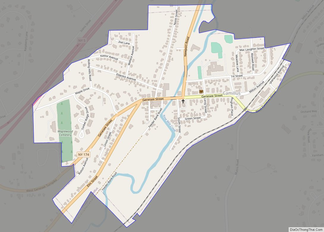
Camillus is a village in Onondaga County, New York, United States. As of the 2020 census, the population was 1,222. The village takes its name from the town in which it is located. It is part of the Syracuse Metropolitan Statistical Area. The village of Camillus is in the town of Camillus, west of Syracuse. ... Read more
Camden is a village in Oneida County, New York, United States. The population was 2,231 at the 2010 census. The Village of Camden is located inside the Town of Camden at the intersection of Routes NY-13 and NY-69. Camden village overview: Name: Camden village LSAD Code: 47 LSAD Description: village (suffix) State: New York County: ... Read more
Cambridge is a village in Washington County, New York, United States. The population was 1,870 at the 2010 census. The village of Cambridge is partly in the town of Cambridge and partly in the town of White Creek. It is part of the Glens Falls Metropolitan Statistical Area. Cambridge village overview: Name: Cambridge village LSAD ... Read more
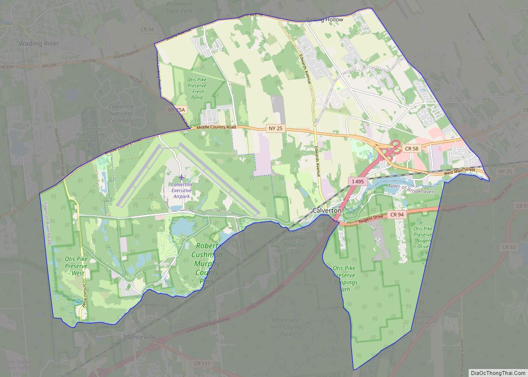
Calverton is a hamlet and census-designated place (CDP) on eastern Long Island in Suffolk County, New York, United States. The population was 6,510 at the 2010 census. Most of Calverton is in the Town of Riverhead, while the area south of the Peconic River is a mostly undeveloped smaller portion in the Town of Brookhaven. ... Read more
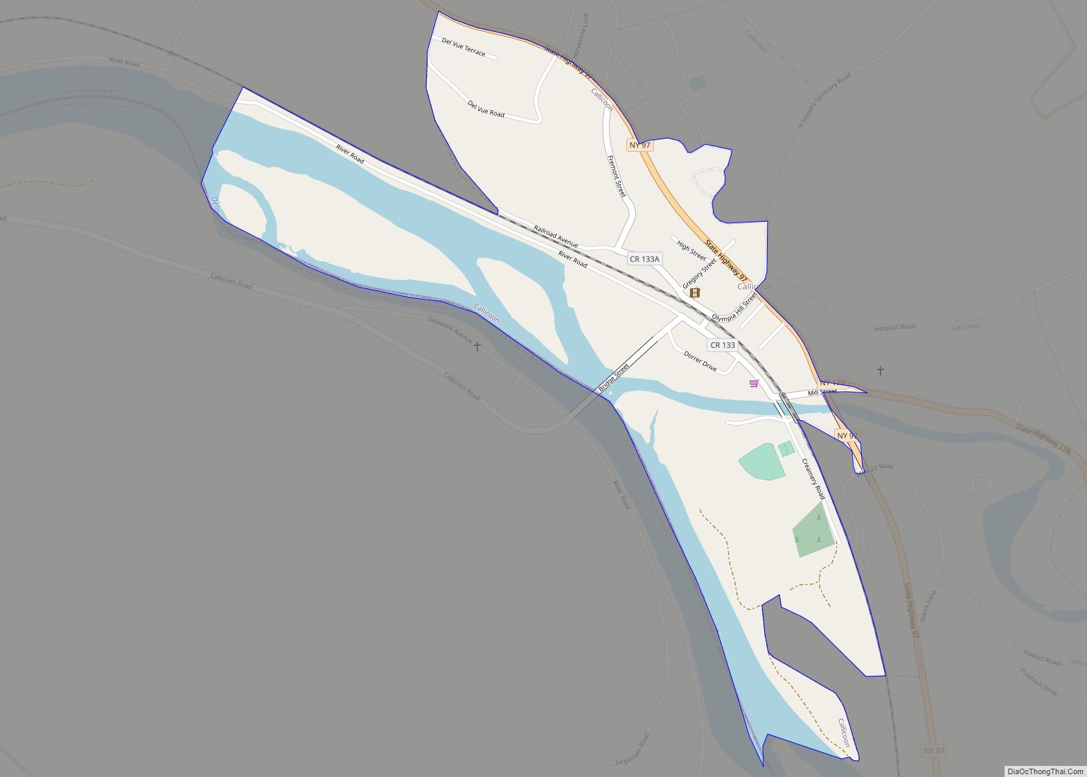
Callicoon is a hamlet and census-designated place in the Town of Delaware, Sullivan County, New York, United States. The population was 206 at the 2020 census. Callicoon is in the western part of the county in the Town of Delaware. Callicoon CDP overview: Name: Callicoon CDP LSAD Code: 57 LSAD Description: CDP (suffix) State: New ... Read more
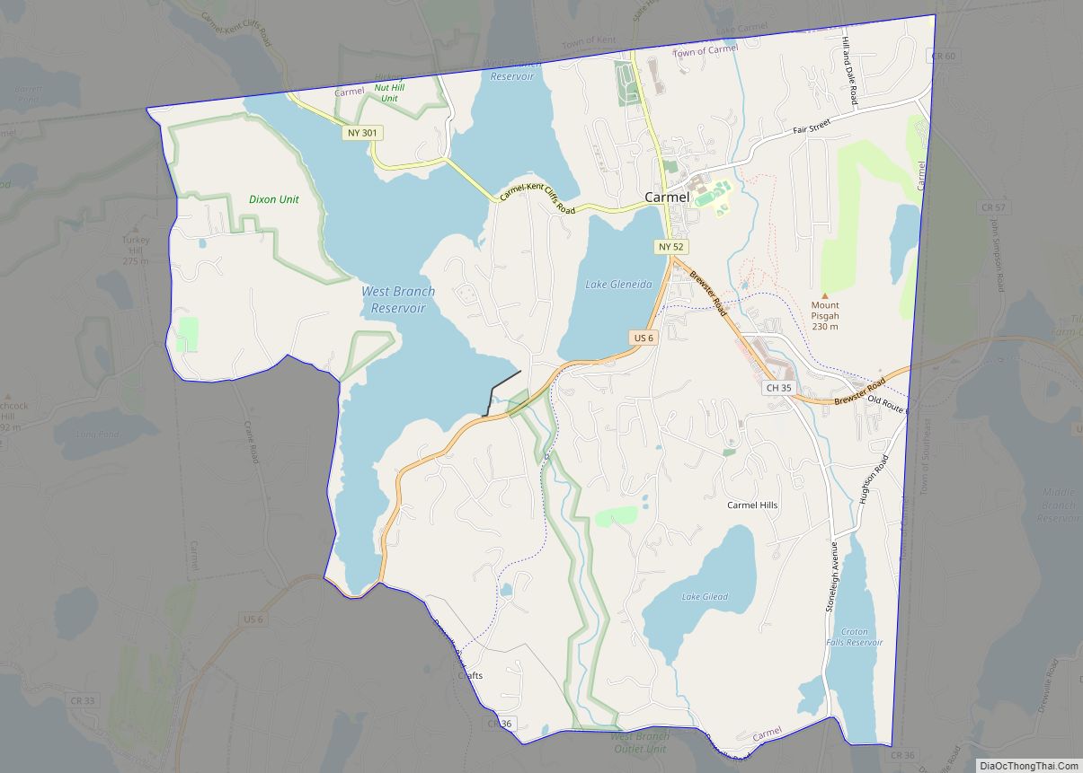
Carmel Hamlet CDP overview: Name: Carmel Hamlet CDP LSAD Code: 57 LSAD Description: CDP (suffix) State: New York County: Putnam County FIPS code: 3612532 Online Interactive Map Carmel Hamlet online map. Source: Basemap layers from Google Map, Open Street Map (OSM), Arcgisonline, Wmflabs. Boundary Data from Database of Global Administrative Areas. Carmel Hamlet location map. ... Read more
