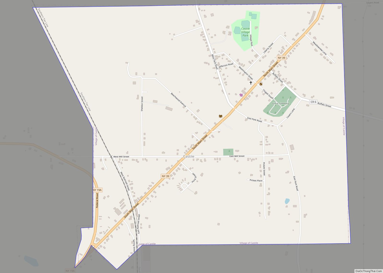
Castile is a village in Wyoming County, New York, United States. The population was 1,015 at the 2010 census. The Village of Castile lies within the boundaries of the Town of Castile. Castile village overview: Name: Castile village LSAD Code: 47 LSAD Description: village (suffix) State: New York County: Wyoming County Incorporated: June 19, 1877 (1877-06-19) Elevation: 1,355 ft ... Read more
New York Cities and Places
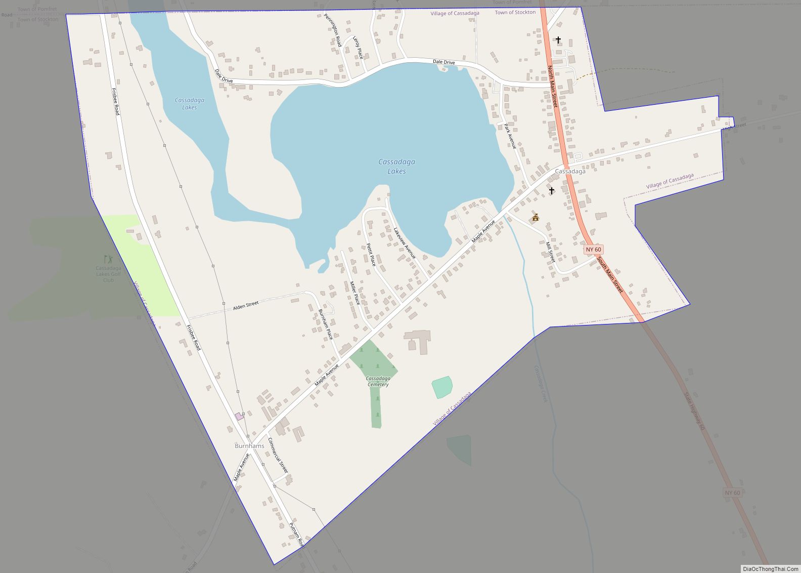
Cassadaga (a Seneca Indian word meaning “Water beneath the rocks”) is a village in Chautauqua County, New York, United States. The village is located within the northeast corner of the town of Stockton, east of the hamlet of Stockton, south of and immediately adjacent to Lily Dale in the town of Pomfret, and north of ... Read more
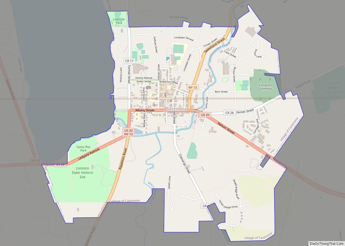
Cazenovia is a village located in the Town of Cazenovia in Madison County, New York, United States. As of the 2010 census, the village had a population of 2,835. The village lies on the southeastern shore of Cazenovia Lake, which is approximately 4 miles (6.4 km) long and .5 mile across. Cazenovia is within a half ... Read more
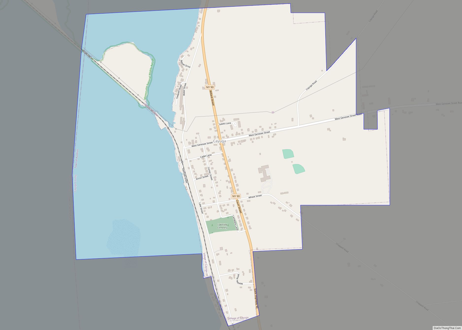
Cayuga is a village in Cayuga County, New York, United States. The population was 549 at the 2010 census. The village derives its name from the indigenous Cayuga people and the lake named after them. The village of Cayuga is in the western part of the town of Aurelius. Cayuga village overview: Name: Cayuga village ... Read more
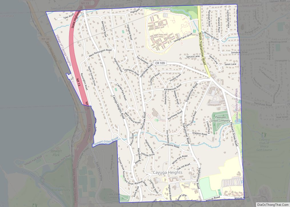
Cayuga Heights is a village in Tompkins County, New York, United States, and an upscale suburb of Ithaca. The population was 4,114 at the 2020 census. The Village of Cayuga Heights is in the Town of Ithaca, directly northeast of the City of Ithaca and the main campus of Cornell University. The village is home ... Read more
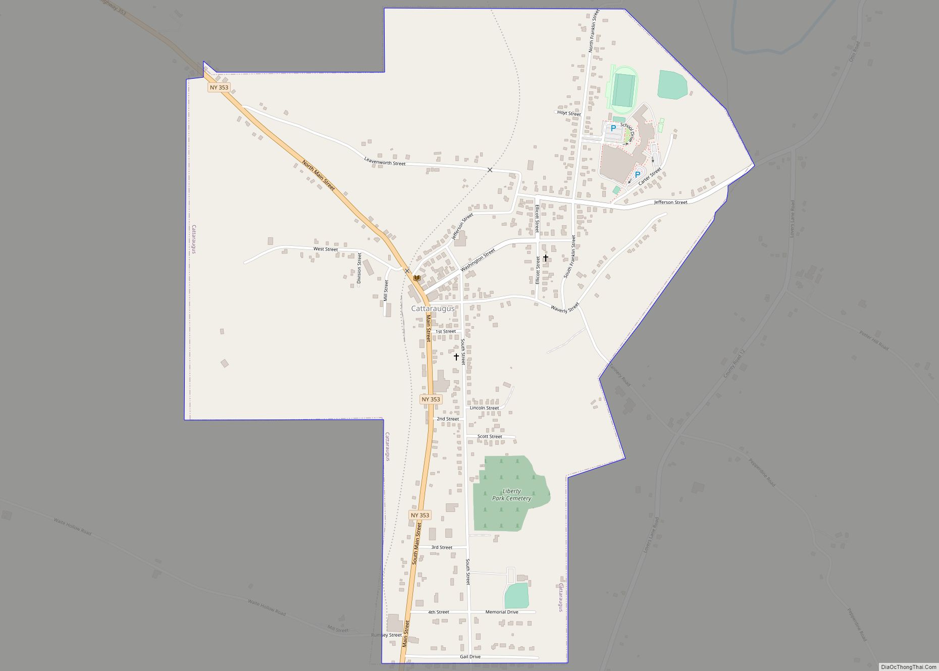
Cattaraugus is a village in Cattaraugus County, New York, United States. The population was 996 at the 2020 census. The village lies in the northeast part of the town of New Albion, north of Salamanca. Cattaraugus village overview: Name: Cattaraugus village LSAD Code: 47 LSAD Description: village (suffix) State: New York County: Cattaraugus County Elevation: ... Read more
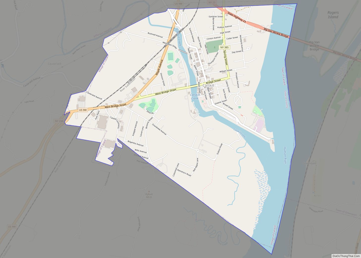
Catskill is a village and county seat of Greene County, New York, United States. The population was 4,081 at the 2010 census, down from 4,392 in 2000. The village is in the northeastern part of the town of Catskill. Catskill village overview: Name: Catskill village LSAD Code: 47 LSAD Description: village (suffix) State: New York ... Read more
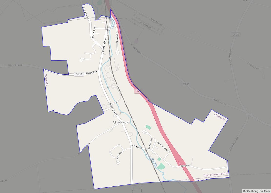
Chadwicks is a census-designated place in the town of New Hartford in Oneida County, New York, United States. Chadwicks is part of the Utica–Rome Metropolitan Statistical Area. Currently, residents of Chadwicks attend local schooling from the nearby hamlet of Sauquoit. Chadwicks CDP overview: Name: Chadwicks CDP LSAD Code: 57 LSAD Description: CDP (suffix) State: New ... Read more
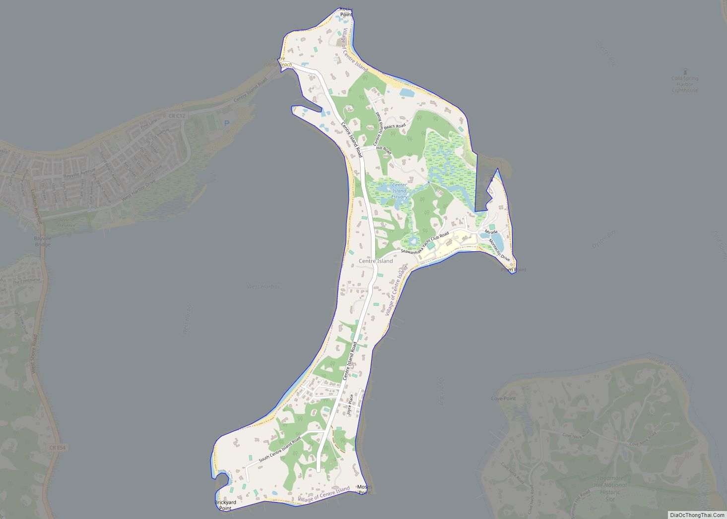
Centre Island is a village located within the Town of Oyster Bay in Nassau County, on Long Island, in New York, United States. Its population was 410 as of the 2010 census. Centre Island village overview: Name: Centre Island village LSAD Code: 47 LSAD Description: village (suffix) State: New York County: Nassau County Elevation: 33 ft ... Read more
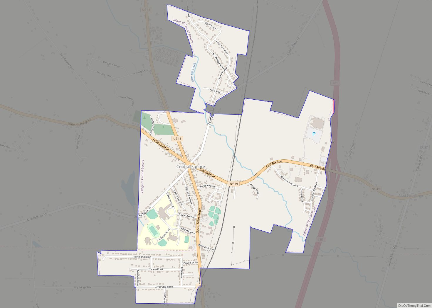
Central Square is a village in Oswego County, New York, United States. The population was 1,848 at the 2010 census. The Village of Central Square is located in the southern part of the Town of Hastings on Route 49 and U.S. Route 11. The village is west of Interstate 81. The village is northwest of ... Read more
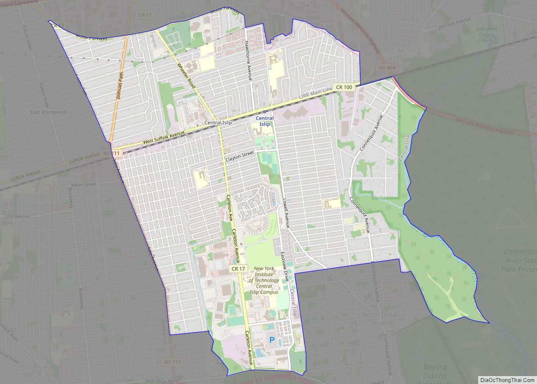
Central Islip (Also known as CI) is a hamlet and census-designated place (CDP) within the Town of Islip in Suffolk County, New York, United States. The population was 34,450 at the 2010 census. Central Islip CDP overview: Name: Central Islip CDP LSAD Code: 57 LSAD Description: CDP (suffix) State: New York County: Suffolk County Elevation: ... Read more
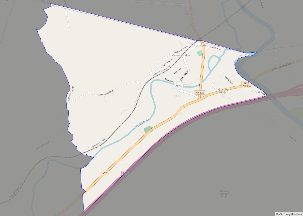
Central Bridge is a hamlet and census-designated place (CDP) within the towns of Schoharie and Esperance in Schoharie County, New York, United States. As of the 2010 census, the population was 593. Central Bridge is in northeastern Schoharie County, in the northwestern part of the town of Schoharie and the southwestern section of Esperance. It ... Read more
