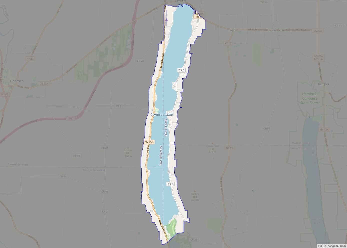
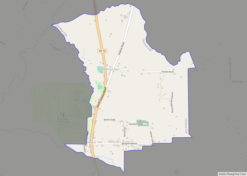
Conesus Lake is a hamlet and census-designated place (CDP) in Livingston County, New York, United States. Its population was 2,584 as of the 2010 census. The community is located in the towns of Geneseo, Livonia, Groveland, and Conesus and covers Conesus Lake, the westernmost of New York’s Finger Lakes, and nearly all of the lake’s ... Read more
New York Cities and Places
Conesus Hamlet CDP overview: Name: Conesus Hamlet CDP LSAD Code: 57 LSAD Description: CDP (suffix) State: New York County: Livingston County FIPS code: 3617620 Online Interactive Map Conesus Hamlet online map. Source: Basemap layers from Google Map, Open Street Map (OSM), Arcgisonline, Wmflabs. Boundary Data from Database of Global Administrative Areas. Conesus Hamlet location map. ... Read more
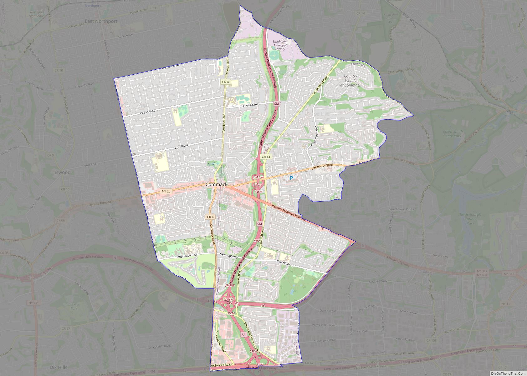
Commack (/ˈkoʊmæk/ KOH-mak) is a hamlet and census-designated place (CDP) that roughly corresponds to the hamlet by the same name in the towns of Huntington and Smithtown in Suffolk County, on Long Island, in New York. The CDP’s population was 36,124 at the 2010 census. Commack CDP overview: Name: Commack CDP LSAD Code: 57 LSAD ... Read more
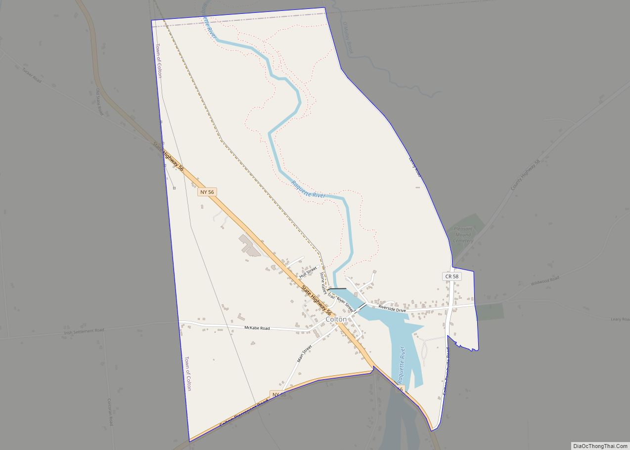
Colton is the primary hamlet and a census-designated place (CDP) in the town of Colton in St. Lawrence County, New York, United States. As of the 2010 census, it had a population of 345, out of 1,451 in the entire town of Colton. The community is in central St. Lawrence County, in the northwest corner ... Read more
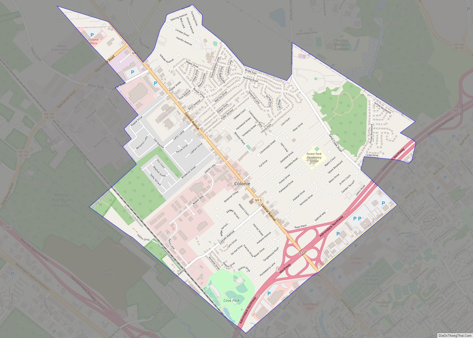
Colonie is a village in Albany County, New York, United States. The population was 7,793 at the 2010 census. The village of Colonie is within the town of Colonie. Both are north of the city of Albany, the capital of New York. Colonie village overview: Name: Colonie village LSAD Code: 47 LSAD Description: village (suffix) ... Read more
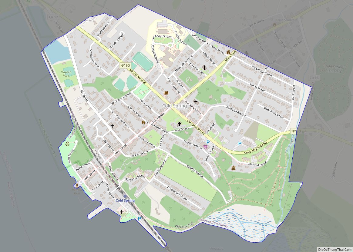
Cold Spring is a village in the town of Philipstown in Putnam County, New York, United States. The population was 1,986 at the 2020 census. It borders the smaller village of Nelsonville and the hamlets of Garrison and North Highlands. The central area of the village is on the National Register of Historic Places as ... Read more
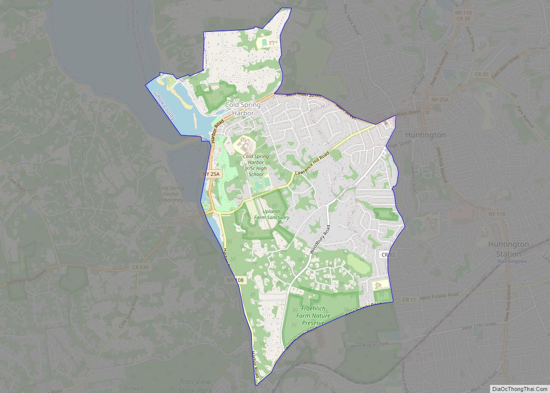
Cold Spring Harbor is a hamlet and census-designated place (CDP) in the Town of Huntington, in Suffolk County, on the North Shore of Long Island in New York. As of the 2010 United States census, the CDP population was 5,070. Cold Spring Harbor CDP overview: Name: Cold Spring Harbor CDP LSAD Code: 57 LSAD Description: ... Read more
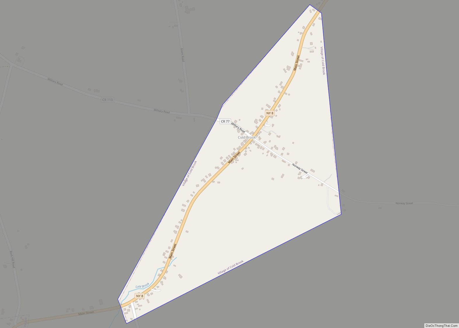
Cold Brook is a village in Herkimer County, New York. The population was 329 at the time of the 2010 census. It is named after a stream passing through the village. The village is located in the south part of the town of Russia and is northeast of Utica. Cold Brook village overview: Name: Cold ... Read more
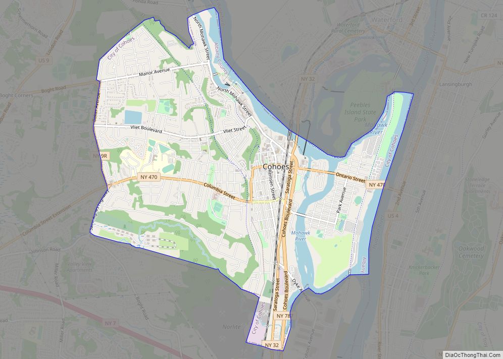
Cohoes (/kəˈhoʊz/ kə-HOHZ) is an incorporated city located in the northeast corner of Albany County in the U.S. state of New York. It is called the “Spindle City” because of the importance of textile manufacturing to its growth in the 19th century. The city’s factories processed cotton from the Deep South. As of the 2010 ... Read more
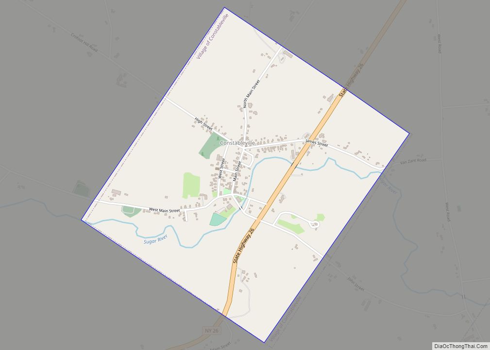
Constableville is a village in Lewis County, New York, United States. The population was 242 at the 2010 census. The village is named after William Constable, the son of an early landowner. The village is within the town of West Turin and is north of Rome. Constableville village overview: Name: Constableville village LSAD Code: 47 ... Read more
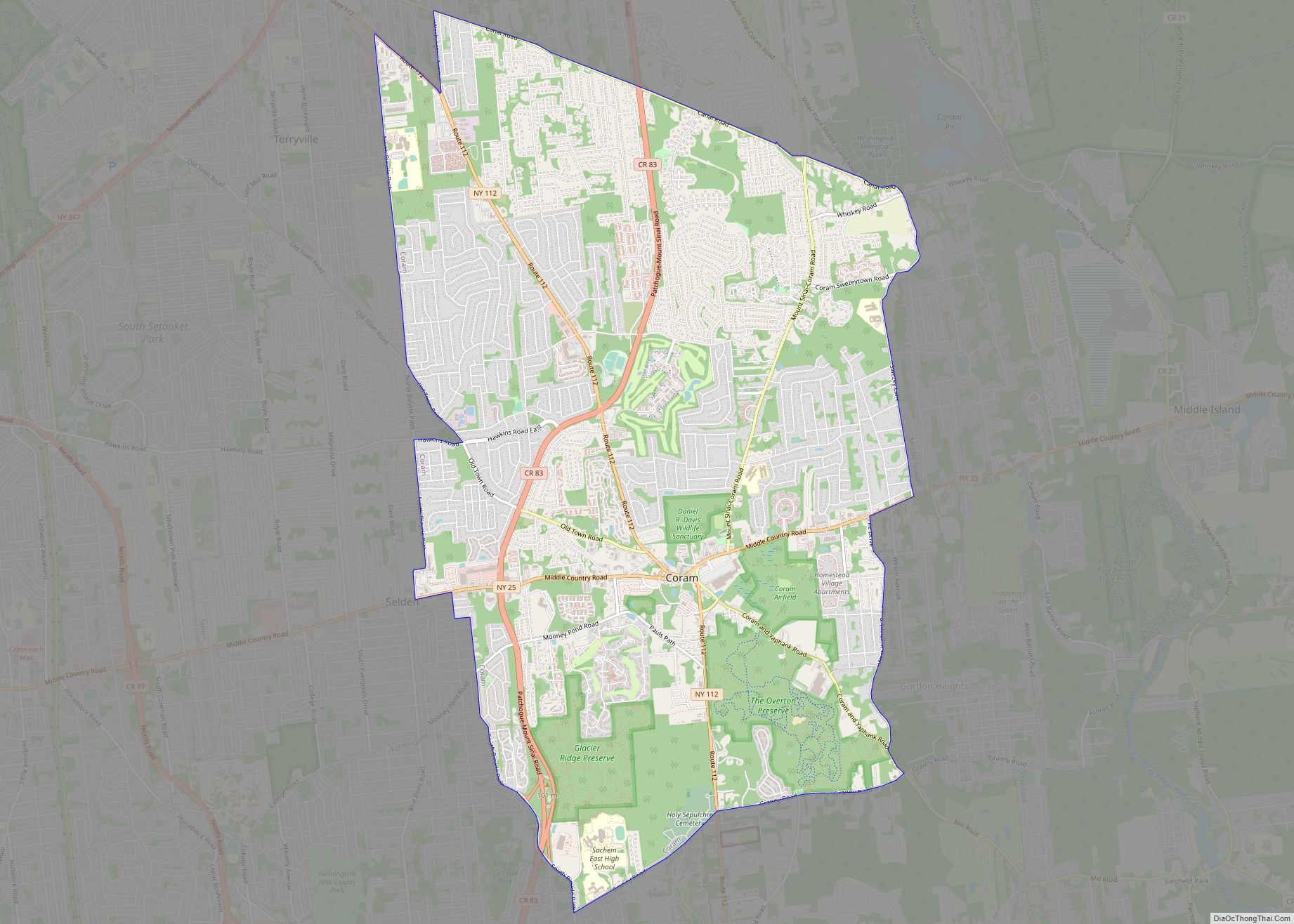
Coram /kɔːrəm/ is a hamlet and census-designated place in the town of Brookhaven, Suffolk County, Long Island, New York, United States. As of the 2010 United States census, the CDP population was 39,113. Coram CDP overview: Name: Coram CDP LSAD Code: 57 LSAD Description: CDP (suffix) State: New York County: Suffolk County Elevation: 95 ft (29 m) ... Read more
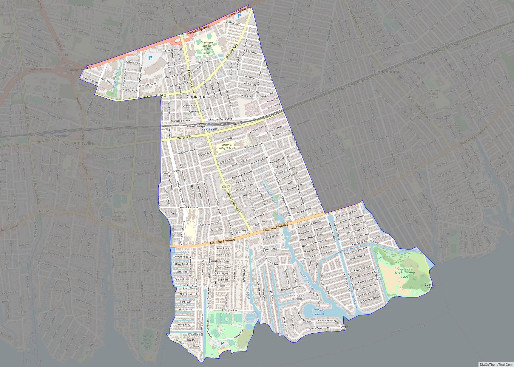
Copiague (/ˈkoʊpeɪɡ/ KOH-payg) is a hamlet on Long Island (and census-designated place) in Suffolk County, New York, United States. The population was 23,429 at the 2020 census. Copiague is an unincorporated place within Babylon. Copiague CDP overview: Name: Copiague CDP LSAD Code: 57 LSAD Description: CDP (suffix) State: New York County: Suffolk County Elevation: 23 ft ... Read more
