Map of Farmingdale village, New York

Map of Farmingdale village, New York

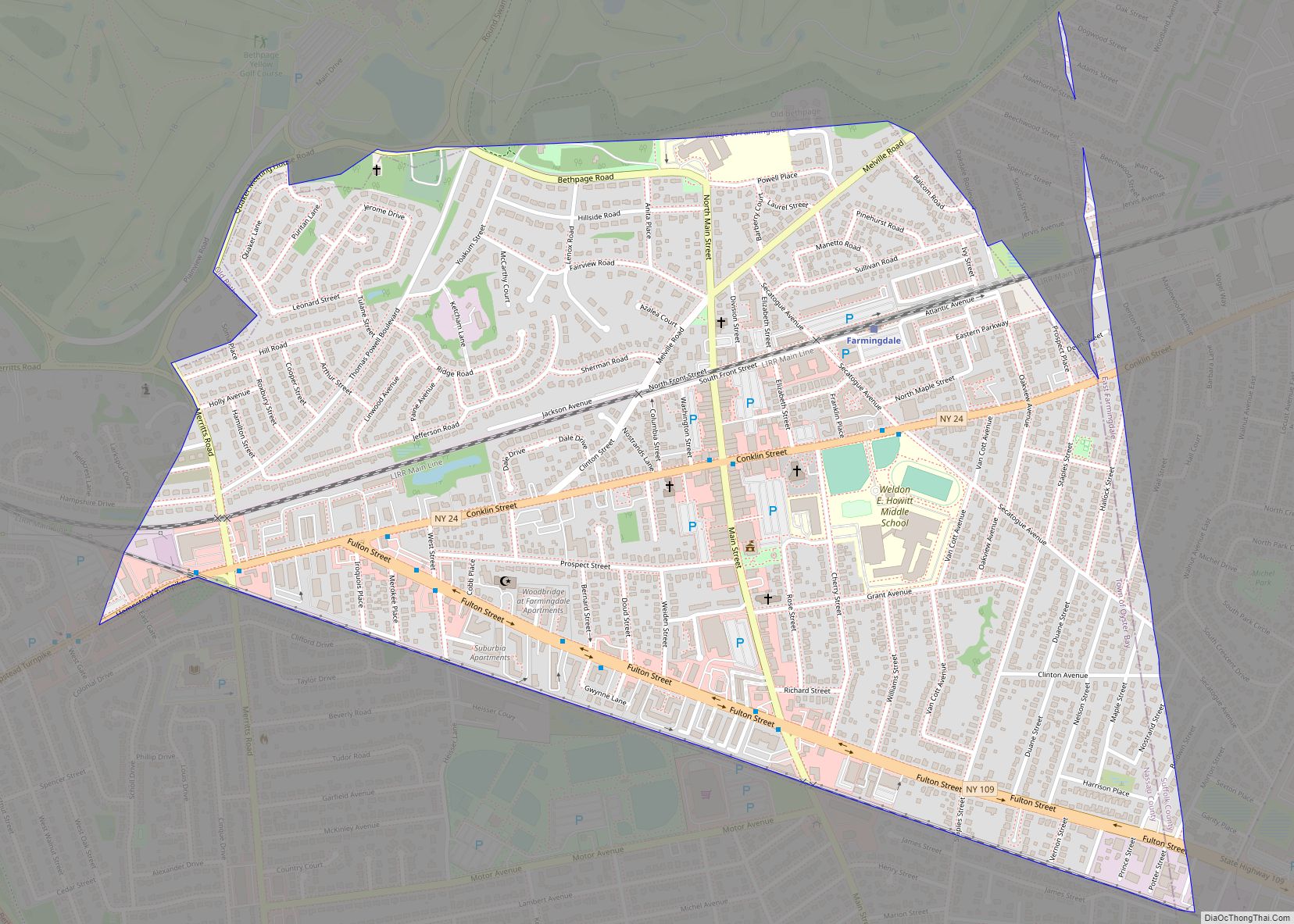
Farmingdale is an incorporated village on Long Island within the Town of Oyster Bay in Nassau County, New York, United States. The population was 8,189 as of the 2010 Census. The Lenox Hills neighborhood is adjacent to Bethpage State Park and the rest of the town is within a fifteen-minute drive of the park. It … Read more

Map of Falconer village

Map of Falconer village

Falconer is a village in Chautauqua County, New York, United States. The population was 2,284 at the 2020 census. Falconer is within the town of Ellicott and is on the eastern edge of the city of Jamestown. Falconer village overview: Name: Falconer village LSAD Code: 47 LSAD Description: village (suffix) State: New York County: Chautauqua … Read more

Map of Fairview CDP, New York

Map of Fairview CDP, New York

Fairview is a hamlet and a census-designated place (CDP) located in the town of Greenburgh, Westchester County, New York, United States. The population was 3,099 at the 2010 census. As of 2000, Fairview had the fourth-highest percentage of African-Americans in New York. Fairview CDP overview: Name: Fairview CDP LSAD Code: 57 LSAD Description: CDP (suffix) … Read more

Map of Fairport village

Map of Fairport village

Fairport is a village located in the Town of Perinton, which is part of Monroe County, New York, United States. Fairport is a suburb 9 miles (14 km) east of Rochester. It is also known as the “Crown Jewel of the Erie Canal”. In 2005, it was named as one of the “Best Places to Live” … Read more

Map of Fairmount CDP, New York

Map of Fairmount CDP, New York

Fairmount is a hamlet (and census-designated place) in Onondaga County, New York, United States. Fairmount is a western suburb of Syracuse, located in the far southeastern corner of the town of Camillus. Its zip code is 13219 (Syracuse). It is located within the West Genesee Central School District. The population was 10,224 at the 2010 … Read more

Map of Fair Haven village, New York

Map of Fair Haven village, New York

Fair Haven is a village located on the southern shore of Lake Ontario in Cayuga County, New York, United States. As of the 2020 census, its population was 760. Fair Haven is within the town of Sterling and is northwest of Syracuse. The village is on Little Sodus Bay, an arm of Lake Ontario. Fair … Read more

Map of Fabius village

Map of Fabius village

Fabius is a village in Onondaga County, New York, United States. As of the 2020 census, the population was 309. It is part of the Syracuse Metropolitan Statistical Area. The village is near the center of the town of Fabius and is south of Syracuse. Fabius village overview: Name: Fabius village LSAD Code: 47 LSAD … Read more

Map of Evans Mills village

Map of Evans Mills village

Evans Mills is a village in Jefferson County, New York, United States. The population was 621 at the 2010 census. The village is within the town of Le Ray and is northeast of Watertown. Evans Mills village overview: Name: Evans Mills village LSAD Code: 47 LSAD Description: village (suffix) State: New York County: Jefferson County … Read more

Map of Esperance village

Map of Esperance village, New York

Esperance is a village in Schoharie County, New York, United States. The population was 345 at the 2010 census. The village was given the French name for “hope.” The Village of Esperance is in eastern part of the Town of Esperance. The village is west of Schenectady. Esperance village overview: Name: Esperance village LSAD Code: … Read more

Map of Fire Island CDP

Map of Fire Island CDP

Fire Island is the large center island of the outer barrier islands parallel to the South Shore of Long Island, in the U.S. state of New York. Occasionally, the name is used to refer collectively to not only the central island, but also Long Beach Barrier Island, Jones Beach Island, and Westhampton Island, since the … Read more

Map of Fillmore CDP, New York

Map of Fillmore CDP, New York

Fillmore is a hamlet (and census-designated place) in the town of Hume, Allegany County, New York, United States. As of the 2010 census it had a population of 603. It was originally known as “The Mouth of the Creek” but was named for President Millard Fillmore in 1850. The former village of Fillmore dissolved its … Read more

Map of Felts Mills CDP

Map of Felts Mills CDP

Felts Mills is a hamlet and census-designated place (CDP) in the town of Rutland of Jefferson County, New York, United States. The population was 372 at the 2010 census. Felts Mills’ original name was “Mid Road” because it is close to the halfway point between Watertown and Carthage. Felts Mills CDP overview: Name: Felts Mills … Read more