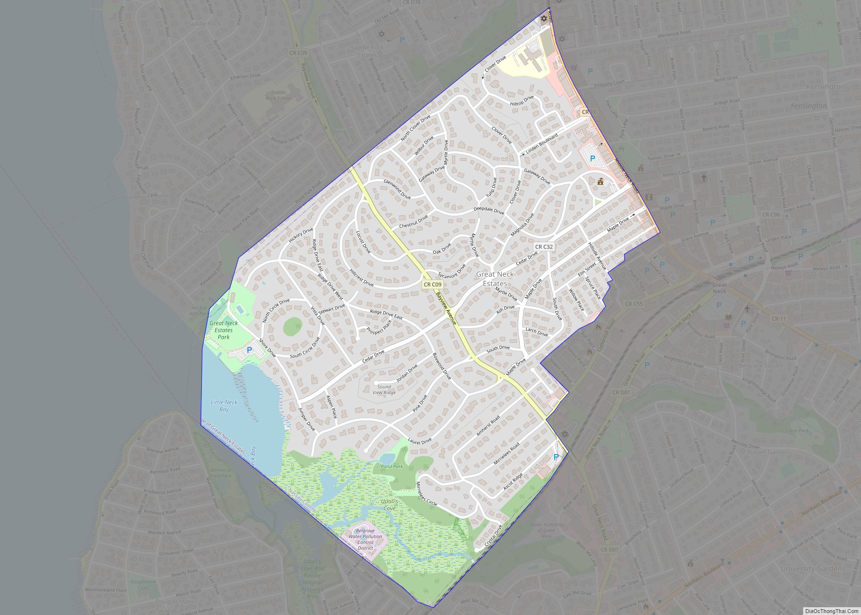
Great Neck Estates is a village on the Great Neck Peninsula in the Town of North Hempstead, in Nassau County, on the North Shore of Long Island, in New York, United States. The population was 2,761 at the 2010 census. Great Neck Estates village overview: Name: Great Neck Estates village LSAD Code: 47 LSAD Description: ... Read more
New York Cities and Places
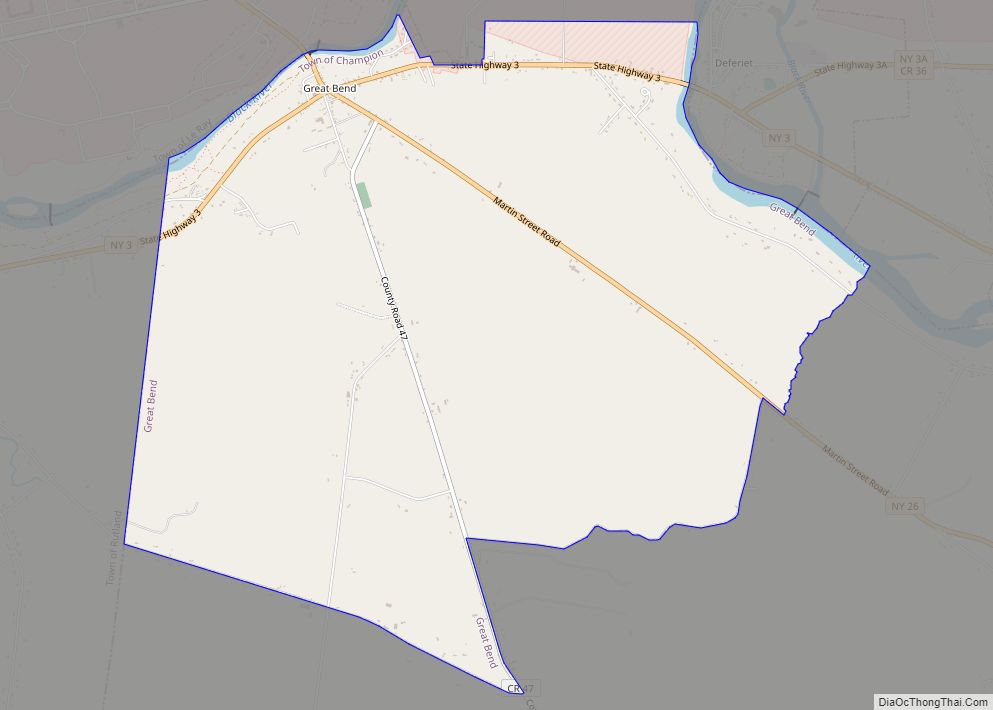
Great Bend is a hamlet and census-designated place (CDP) in Jefferson County, New York, United States. The population was 843 at the 2010 census. Great Bend is in the northern part of the town of Champion. It is adjacent to the southern section of the Fort Drum military reservation. Great Bend CDP overview: Name: Great ... Read more
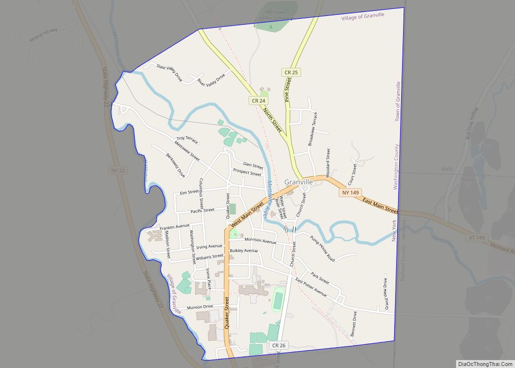
Granville is a village in Washington County, New York, United States. It is part of the Glens Falls Metropolitan Statistical Area. The village population was 2,543 at the 2010 census. The Village of Granville is in the eastern part of the Town of Granville at Routes NY-149 and NY-22. The Granville Airport is located north ... Read more
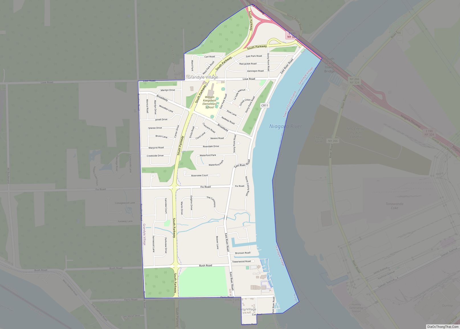
Grandyle Village is a hamlet and census-designated place (CDP) in the town of Grand Island in Erie County, New York, United States. As of the 2010 census, it had a population of 4,629. Grandyle Village is part of the Buffalo–Niagara Falls Metropolitan Statistical Area. Grandyle Village CDP overview: Name: Grandyle Village CDP LSAD Code: 57 ... Read more
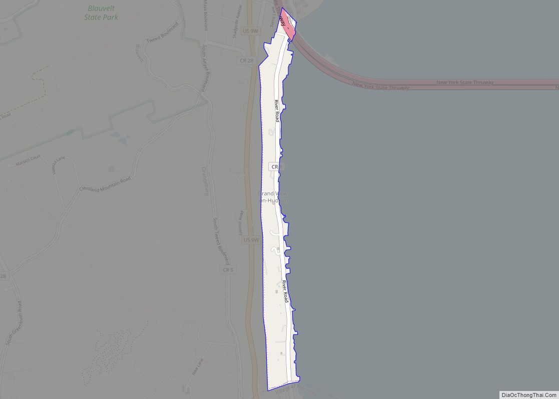
Grand View-on-Hudson is a village incorporated in 1918 in the town of Orangetown in Rockland County, New York, United States. It is located north of Piermont, east of Orangeburg, south of South Nyack, and west of the Hudson River. The population was 285 at the 2010 census. The name is derived from the scenic view ... Read more
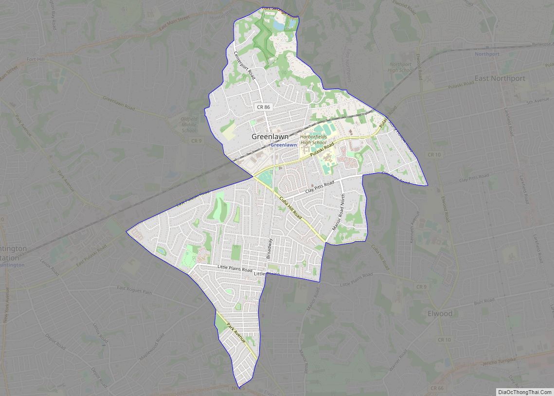
Greenlawn is a hamlet and census-designated place (CDP) in Suffolk County, New York, United States. Located on Long Island in the Town of Huntington, the population was 13,742 at the 2010 census. Students primarily attend the Harborfields Central School District. Greenlawn CDP overview: Name: Greenlawn CDP LSAD Code: 57 LSAD Description: CDP (suffix) State: New ... Read more
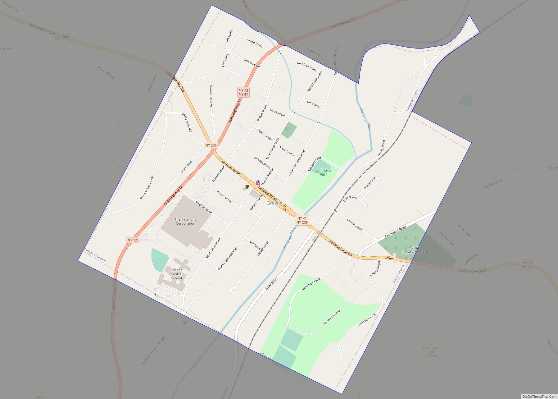
Greene is a village in Chenango County, New York, United States. The population was 1,580 at the 2010 census. The village is named after General Nathanael Greene. It is within the town of Greene and is northeast of Binghamton. Greene village overview: Name: Greene village LSAD Code: 47 LSAD Description: village (suffix) State: New York ... Read more
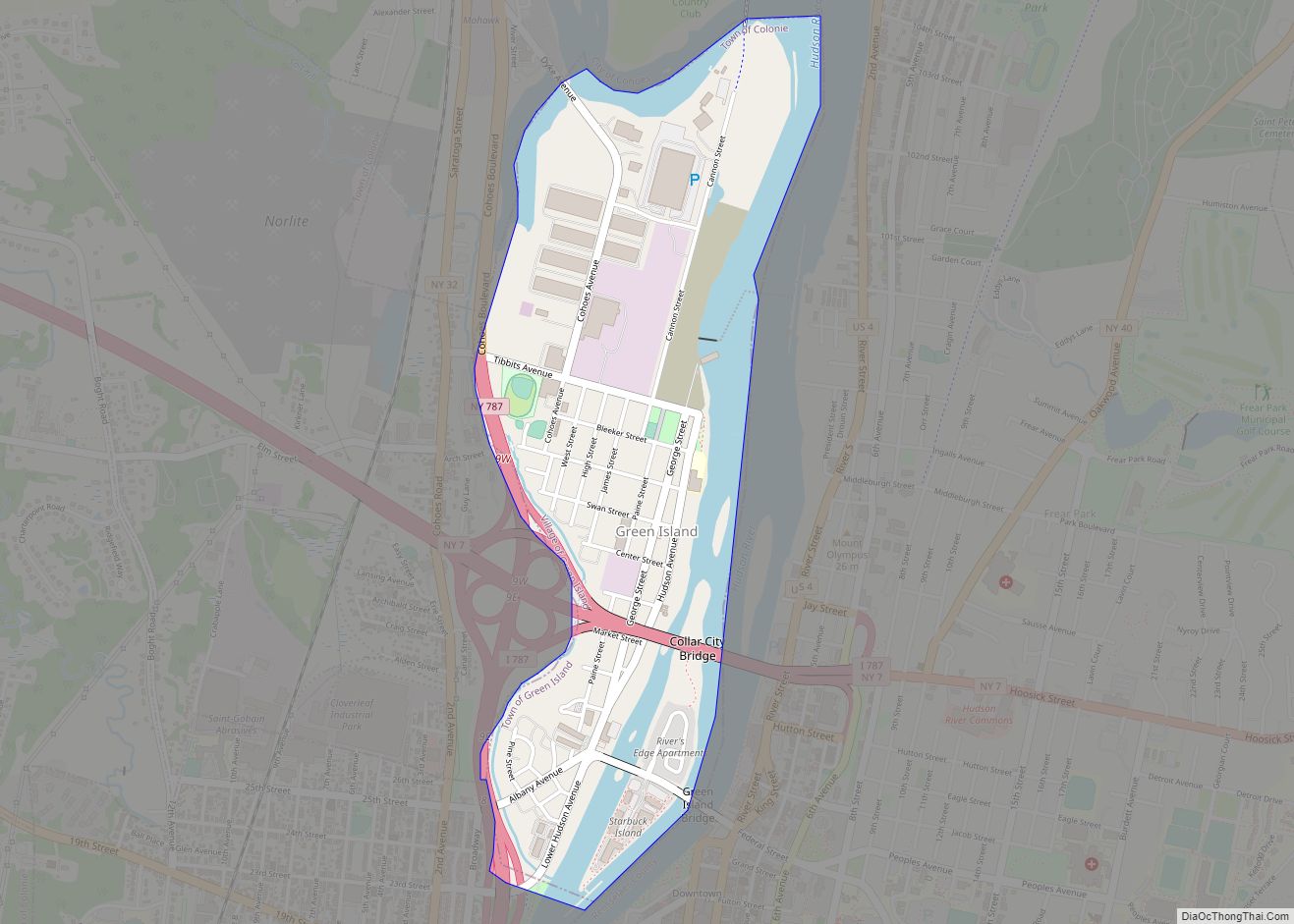
Green Island is a coterminous town-village in Albany County, New York, United States, some 8 miles (13 km) north of Albany. Green Island is one of only five such town-village amalgamations in New York. The population was 2,620 at the 2010 census, and the ZIP code is 12183. While the town of Green Island was once ... Read more
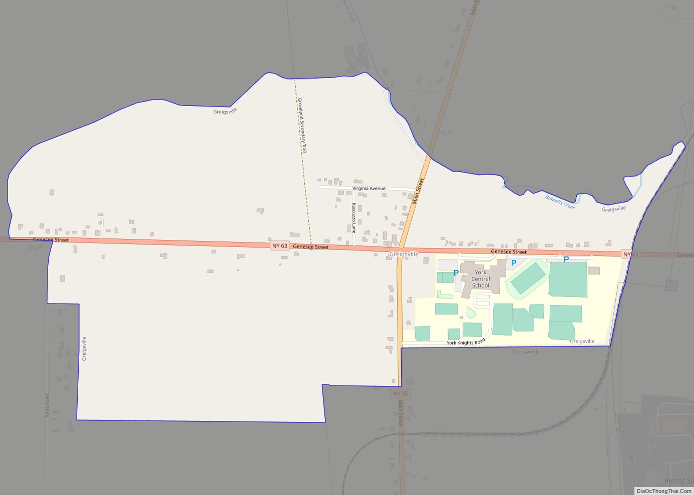
Greigsville is a hamlet and census-designated place (CDP) in the town of York, Livingston County, New York, United States. Its population was 209 as of the 2010 census. The community is located at the intersection of New York State Route 36 and New York State Route 63. Greigsville CDP overview: Name: Greigsville CDP LSAD Code: ... Read more
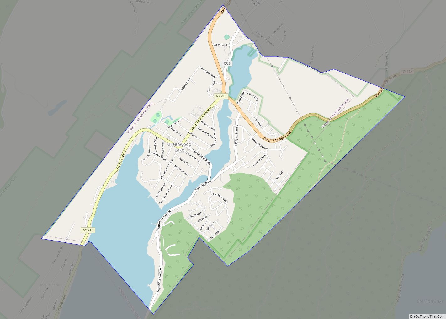
Greenwood Lake is a village in Orange County, New York, United States, in the southern part of the town of Warwick. As of the 2020 census, the population of the village was 2,994. It is part of the Poughkeepsie–Newburgh–Middletown, NY Metropolitan Statistical Area as well as the larger New York–Newark–Bridgeport Combined Statistical Area. Greenwood Lake ... Read more
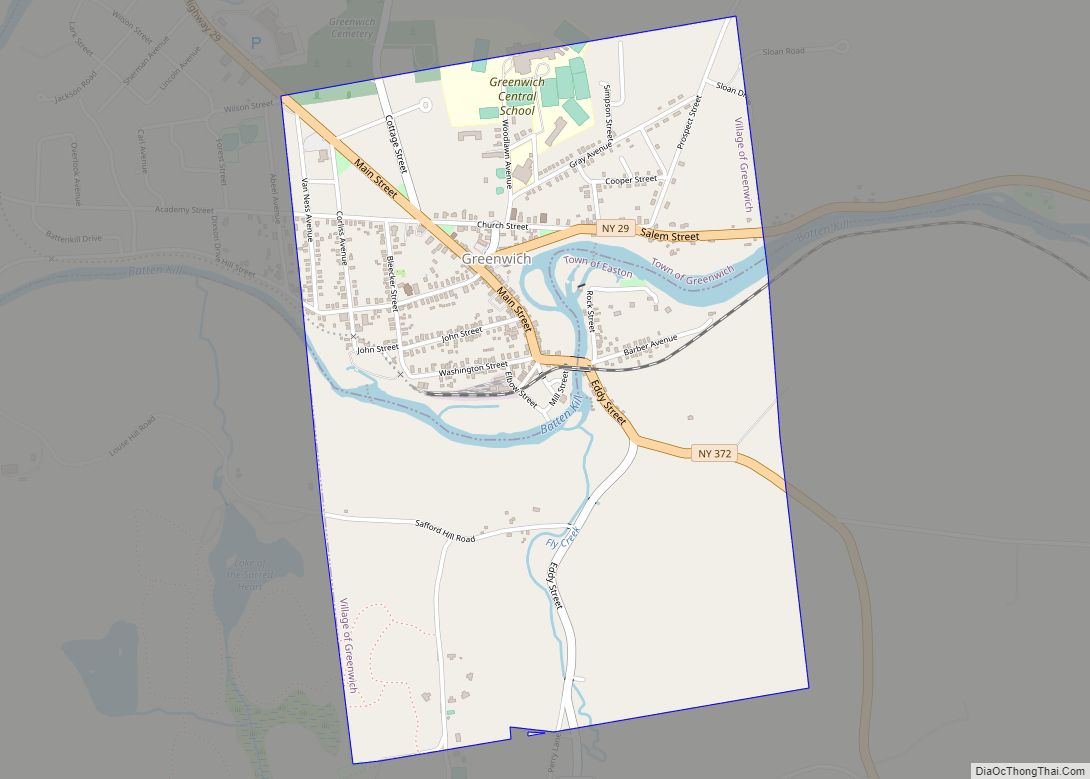
Formerly known as Whipple City, Greenwich (/ˈɡriːnwɪtʃ/) is a village in Washington County, New York, United States. It is part of the Glens Falls Metropolitan Statistical Area. The village population was 1,777 at the 2010 census. The Village of Greenwich is located at the southern town line of the Town of Greenwich; a small part ... Read more
Greenville, commonly known as Edgemont, is a census-designated place (CDP) in the town of Greenburgh in Westchester County, New York, United States. The population was 9,394 at the 2020 census. Most of its residents refer to the area as Edgemont, which is also the name of its school district. It is an ethnically diverse inner ... Read more
