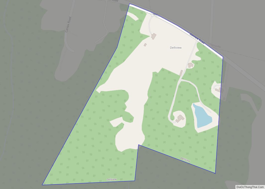
Dellview town overview: Name: Dellview town LSAD Code: 43 LSAD Description: town (suffix) State: North Carolina County: Gaston County FIPS code: 3716820 Online Interactive Map Dellview online map. Source: Basemap layers from Google Map, Open Street Map (OSM), Arcgisonline, Wmflabs. Boundary Data from Database of Global Administrative Areas. Dellview location map. Where is Dellview town? ... Read more
North Carolina Cities and Places
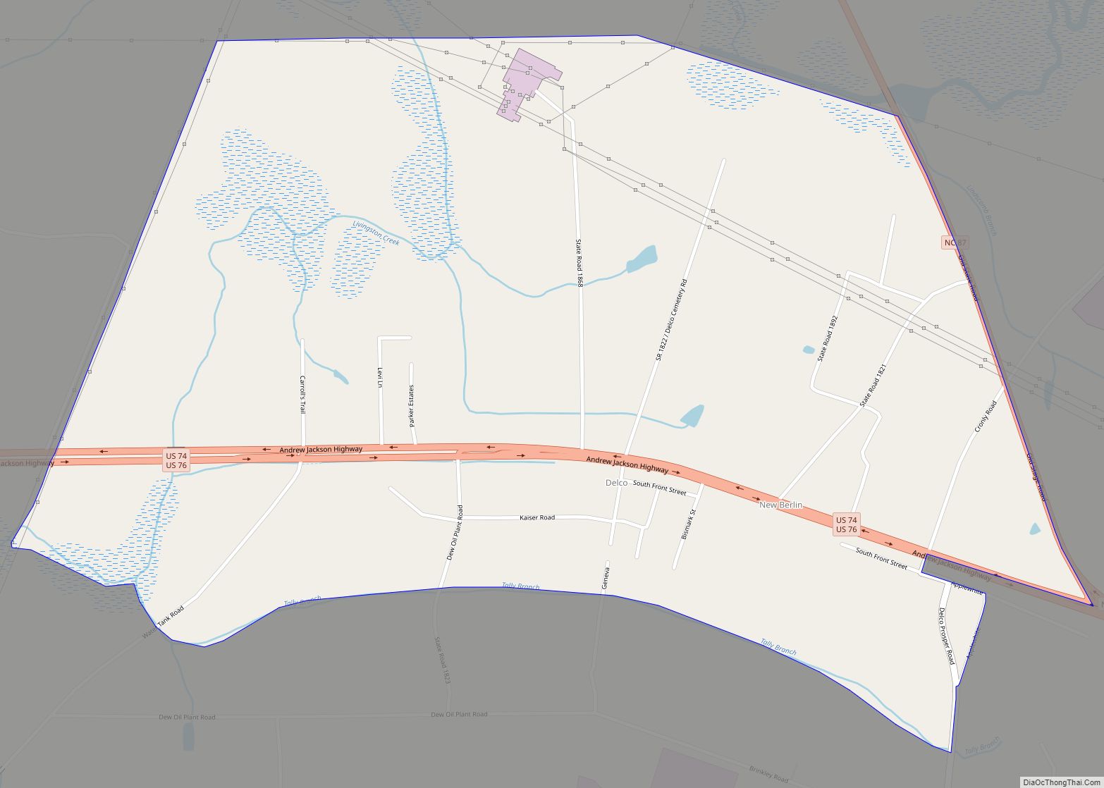
Delco (formerly Brinkly, New Berlin, and Pershing) is an unincorporated community and census-designated place (CDP) in Columbus County, North Carolina, United States. The population was 348 at the 2010 census. Delco CDP overview: Name: Delco CDP LSAD Code: 57 LSAD Description: CDP (suffix) State: North Carolina County: Columbus County Elevation: 49 ft (15 m) Total Area: 1.51 sq mi ... Read more
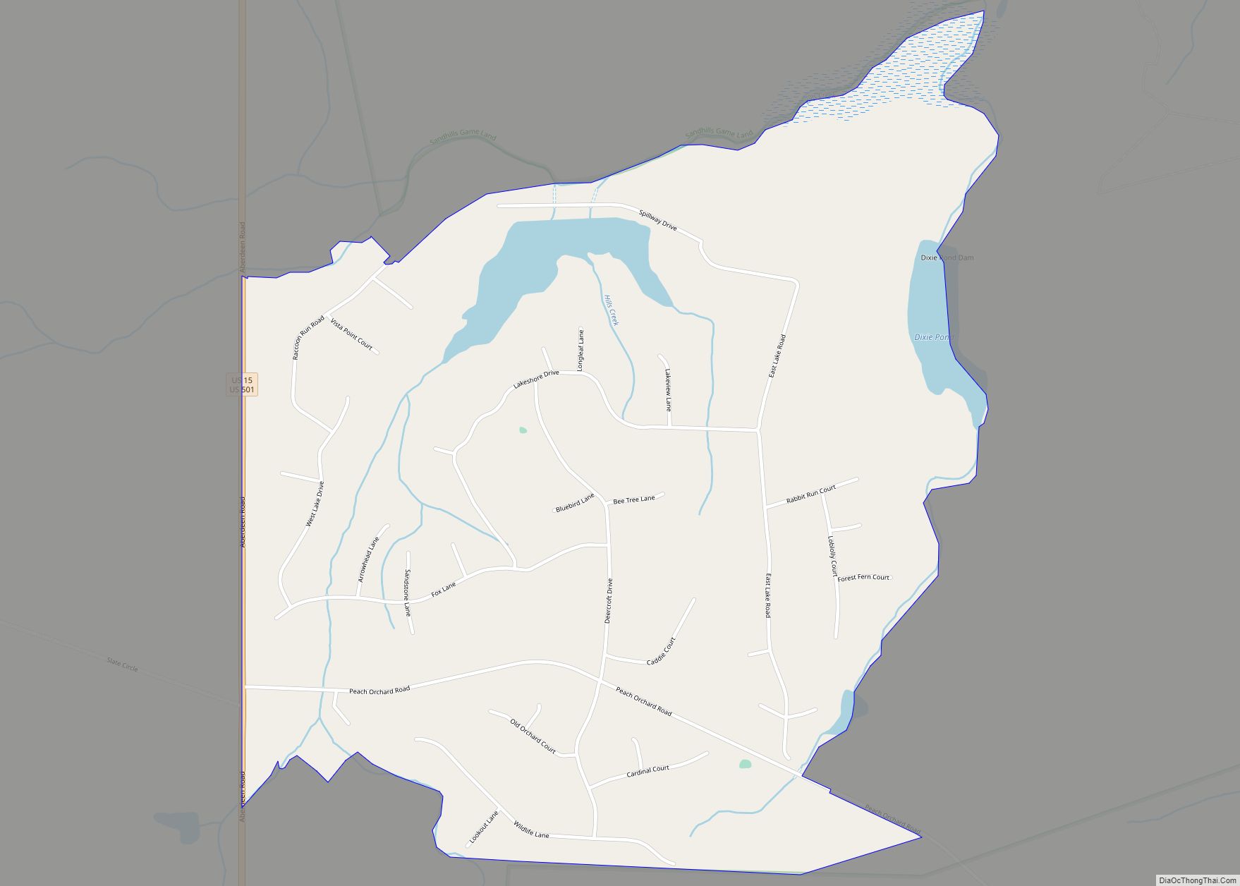
Deercroft is an unincorporated community and census-designated place in Scotland County, North Carolina, United States. Its population was 411 as of the 2010 census. U.S. Routes 15 and 501 pass through the community. Deercroft CDP overview: Name: Deercroft CDP LSAD Code: 57 LSAD Description: CDP (suffix) State: North Carolina County: Scotland County Elevation: 348 ft (106 m) ... Read more
Davis is an unincorporated area and census-designated place (CDP) in Carteret County, North Carolina, United States. As of the 2010 census it had a population of 422. Davis CDP overview: Name: Davis CDP LSAD Code: 57 LSAD Description: CDP (suffix) State: North Carolina County: Carteret County Elevation: 5 ft (2 m) Total Area: 2.20 sq mi (5.69 km²) Land Area: ... Read more
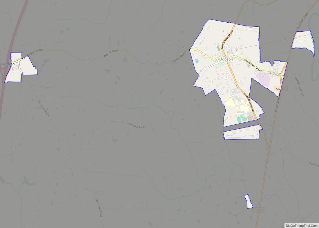
Dobson is a town in Dobson Township, Surry County, North Carolina, United States. As of the 2020 census, the town population was 1,396. It is the county seat of Surry County. Dobson is the home of the Shelton Vineyards, the largest winery in North Carolina. It is also home to a significant Latino population due ... Read more
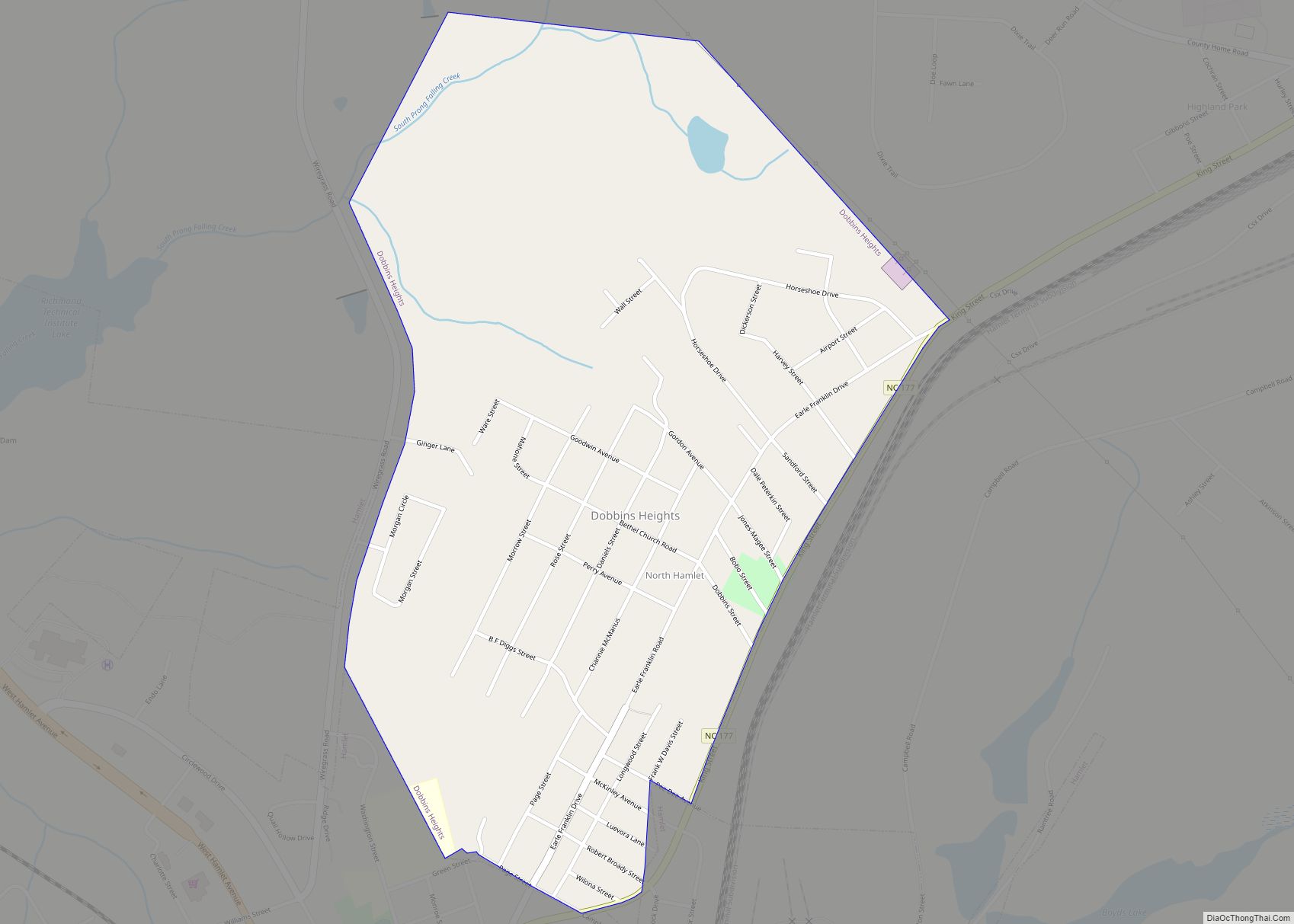
Dobbins Heights is a town in Richmond County, North Carolina, United States. The population was 866 at the 2010 census. Dobbins Heights town overview: Name: Dobbins Heights town LSAD Code: 43 LSAD Description: town (suffix) State: North Carolina County: Richmond County Elevation: 387 ft (118 m) Total Area: 0.88 sq mi (2.29 km²) Land Area: 0.88 sq mi (2.29 km²) Water Area: 0.00 sq mi ... Read more
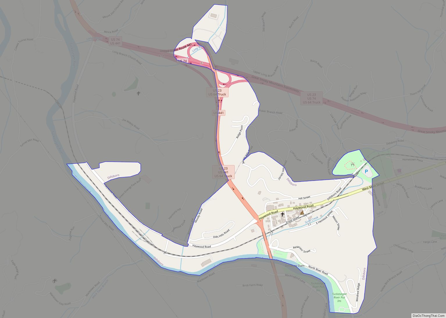
Dillsboro is a town in Jackson County, North Carolina, United States. The population was 232 at the 2010 census. Dillsboro attracts tourists traveling to the Great Smoky Mountains. The Great Smoky Mountains Railroad begins in Dillsboro and follows the Murphy Branch, constructed in the 1880s. Dillsboro town overview: Name: Dillsboro town LSAD Code: 43 LSAD ... Read more
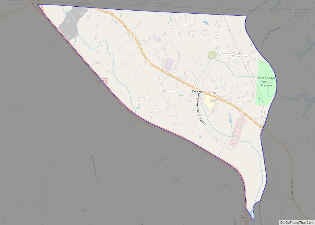
Denver, formerly known as Dry Pond, is a census-designated place and unincorporated community in Lincoln County, North Carolina, United States. As of the 2010 census it had a population of 2,309. Known as “Dry Pond” until 1873, it was renamed “Denver” (after the capital of the then territory of Colorado) as a marketing and growth ... Read more
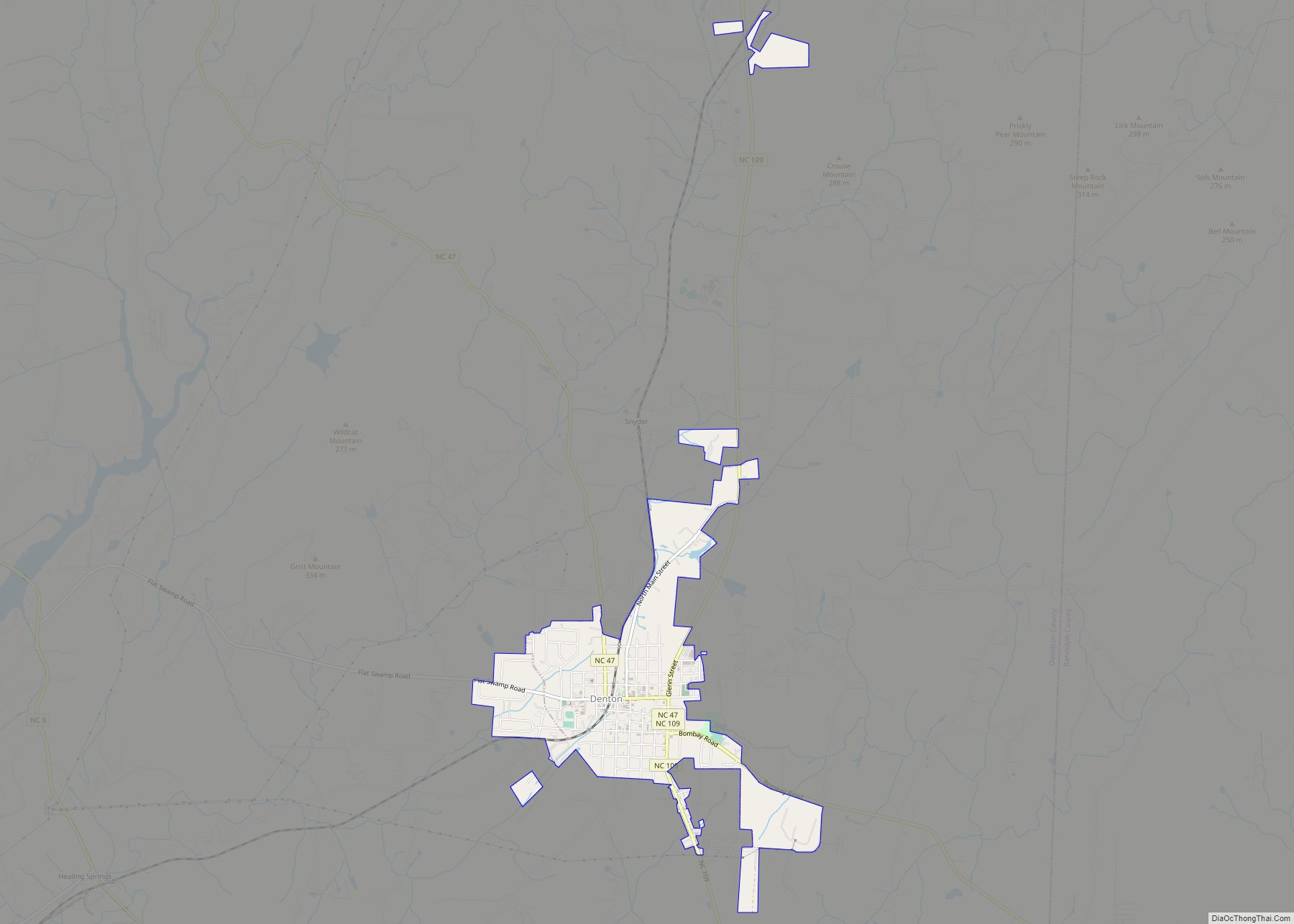
Denton is a town in Davidson County, North Carolina, United States. The population was 1,636 at the 2010 census. Denton town overview: Name: Denton town LSAD Code: 43 LSAD Description: town (suffix) State: North Carolina County: Davidson County Elevation: 699 ft (213 m) Total Area: 2.11 sq mi (5.46 km²) Land Area: 2.10 sq mi (5.45 km²) Water Area: 0.01 sq mi (0.02 km²) Total Population: ... Read more
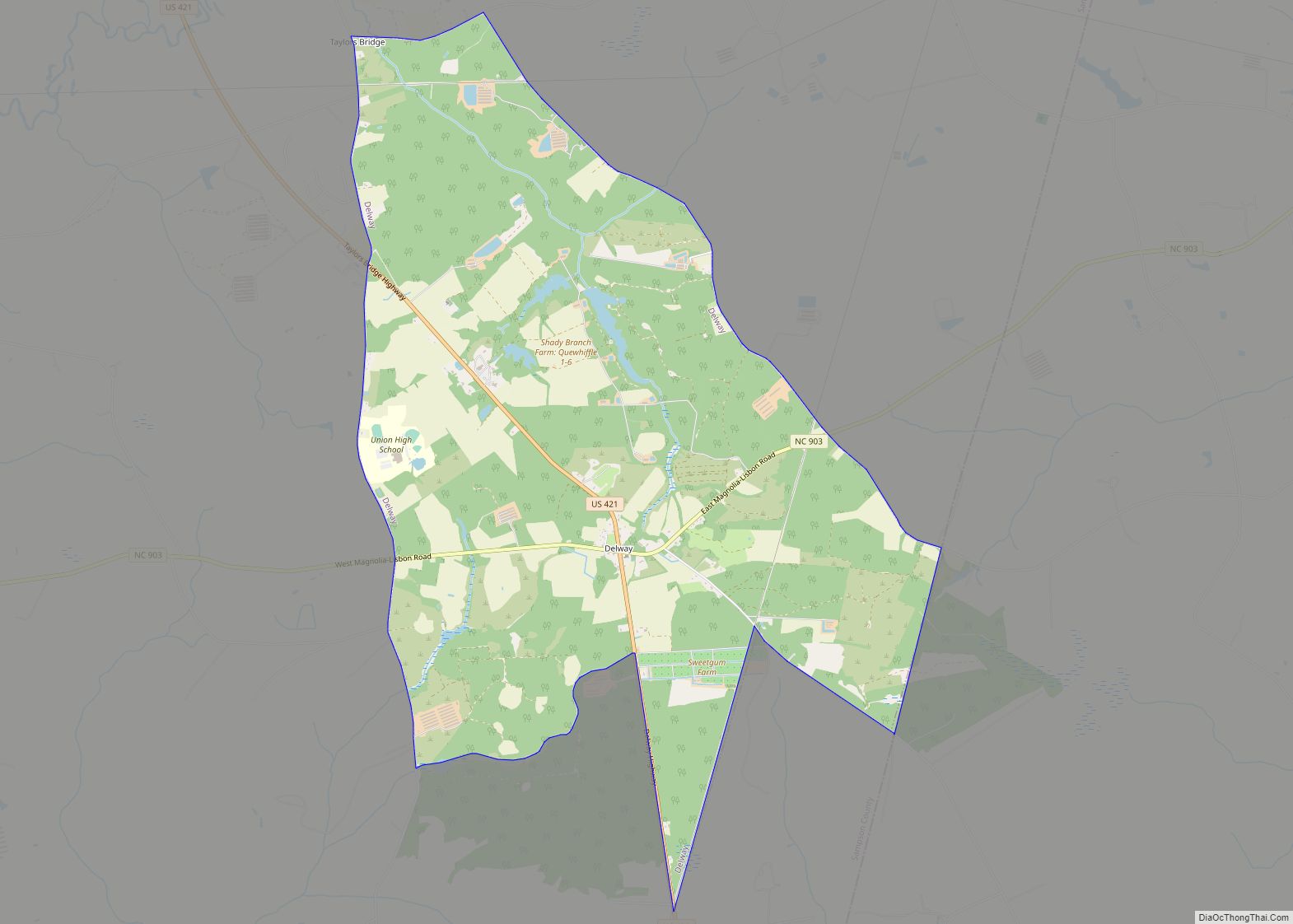
Delway is a census-designated place (CDP) in Sampson County, North Carolina, United States. The population was 270 at the 2000 census. Delway CDP overview: Name: Delway CDP LSAD Code: 57 LSAD Description: CDP (suffix) State: North Carolina County: Sampson County Elevation: 125 ft (38 m) Total Area: 9.62 sq mi (24.92 km²) Land Area: 9.61 sq mi (24.89 km²) Water Area: 0.01 sq mi (0.03 km²) ... Read more
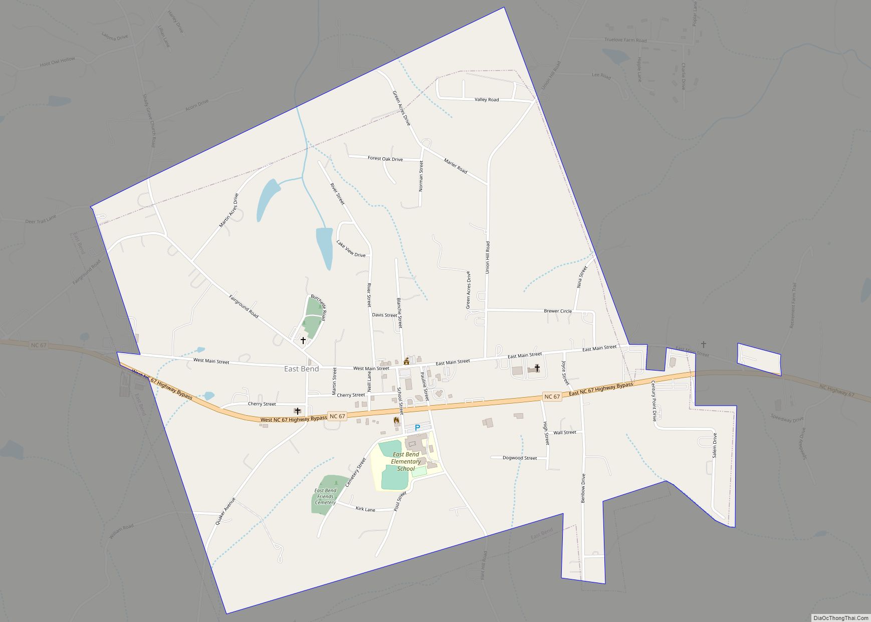
East Bend is a town in northeastern Yadkin County, North Carolina, United States. The population is 634 at the 2020 census. It is a Piedmont Triad community. East Bend town overview: Name: East Bend town LSAD Code: 43 LSAD Description: town (suffix) State: North Carolina County: Yadkin County Elevation: 1,066 ft (325 m) Total Area: 1.31 sq mi (3.40 km²) ... Read more
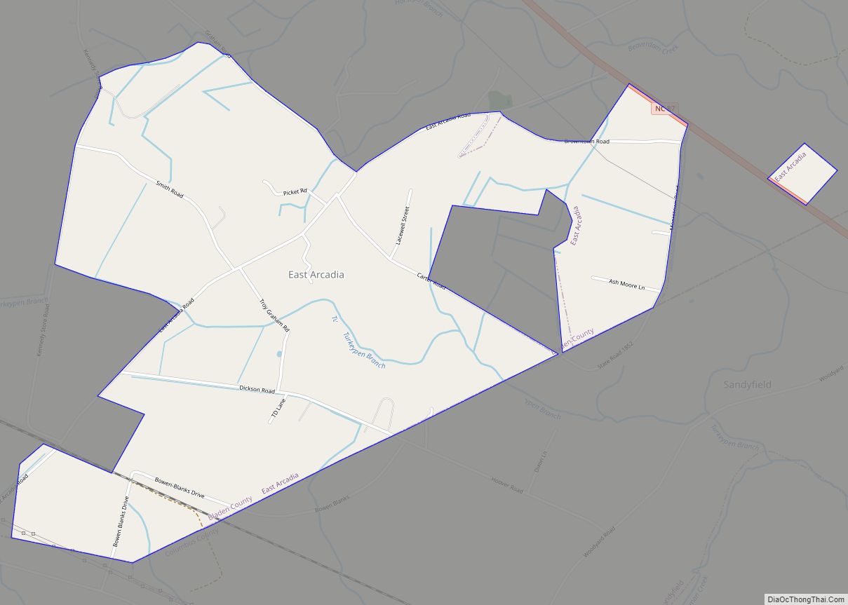
East Arcadia is a town in Bladen County, North Carolina, United States. The population was 487 at the 2010 census. East Arcadia town overview: Name: East Arcadia town LSAD Code: 43 LSAD Description: town (suffix) State: North Carolina County: Bladen County Elevation: 59 ft (18 m) Total Area: 2.25 sq mi (5.82 km²) Land Area: 2.25 sq mi (5.82 km²) Water Area: 0.00 sq mi ... Read more
