Dobson is a town in Dobson Township, Surry County, North Carolina, United States. As of the 2020 census, the town population was 1,396. It is the county seat of Surry County. Dobson is the home of the Shelton Vineyards, the largest winery in North Carolina. It is also home to a significant Latino population due to the large number of farms in the area. The main crops in the area are corn, tobacco and soy beans.
| Name: | Dobson town |
|---|---|
| LSAD Code: | 43 |
| LSAD Description: | town (suffix) |
| State: | North Carolina |
| County: | Surry County |
| Elevation: | 1,257 ft (383 m) |
| Total Area: | 2.04 sq mi (5.29 km²) |
| Land Area: | 2.03 sq mi (5.26 km²) |
| Water Area: | 0.01 sq mi (0.03 km²) |
| Total Population: | 1,462 |
| Population Density: | 719.84/sq mi (277.97/km²) |
| ZIP code: | 27017 |
| Area code: | 336 |
| FIPS code: | 3717340 |
| GNISfeature ID: | 0984238 |
| Website: | www.dobson-nc.com |
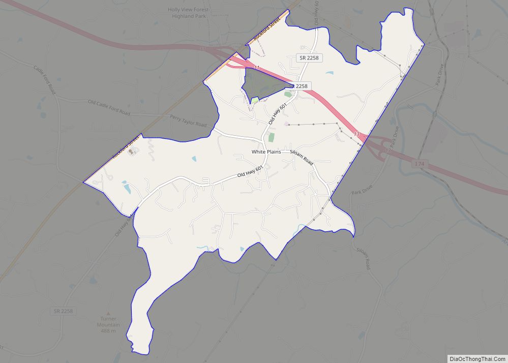
Online Interactive Map
Click on ![]() to view map in "full screen" mode.
to view map in "full screen" mode.
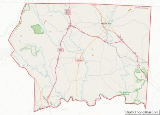
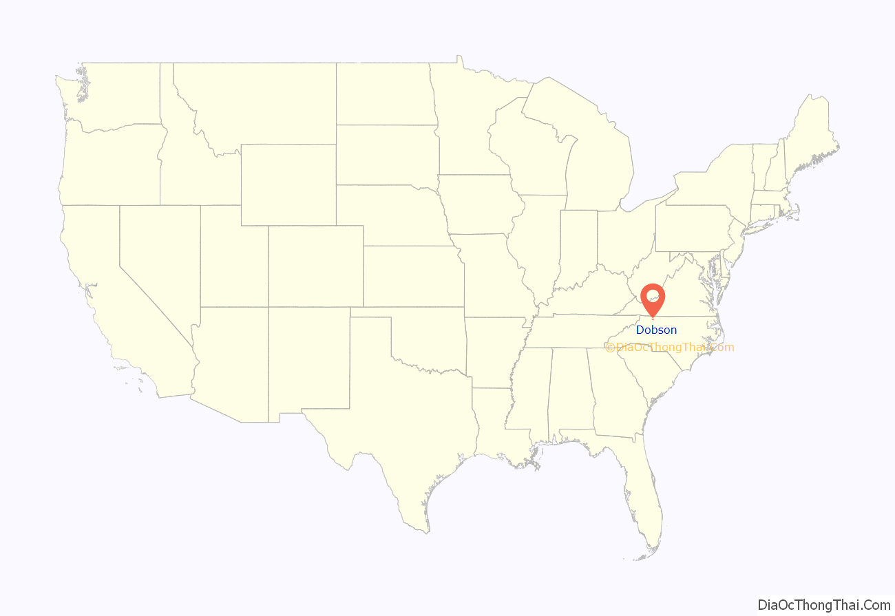
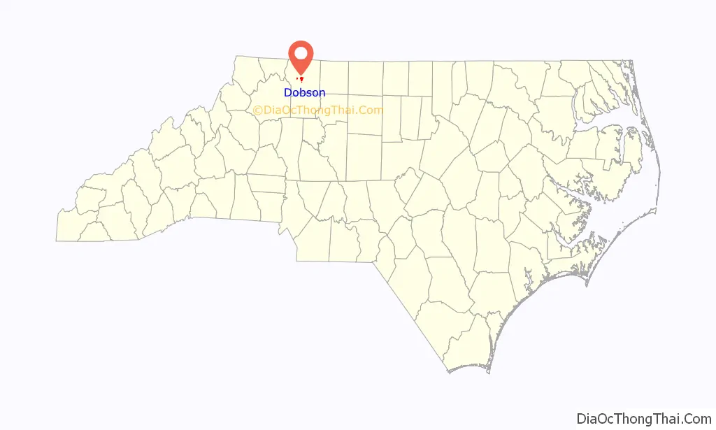
Dobson location map. Where is Dobson town?
History
Dobson was established as the county seat in 1853, replacing Rockford after all land in Surry County south of the Yadkin River was used to form Yadkin County.
The Edwards-Franklin House and Surry County Courthouse are listed on the National Register of Historic Places.
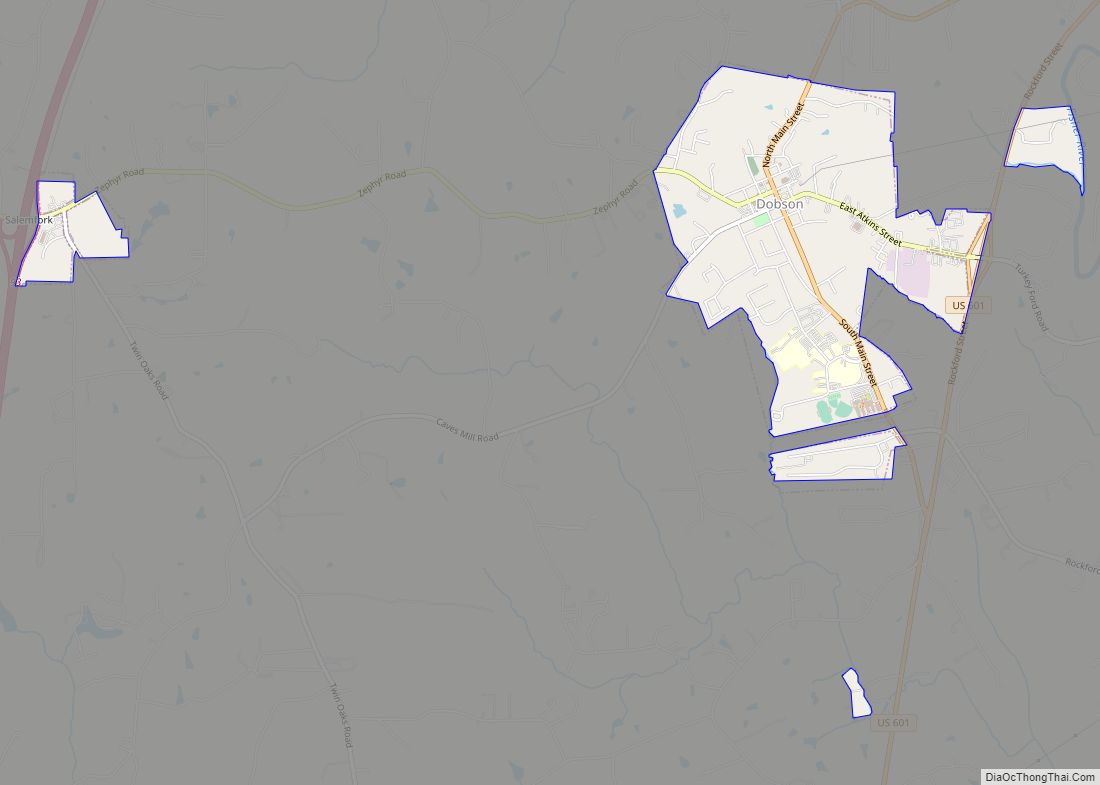
Dobson Road Map
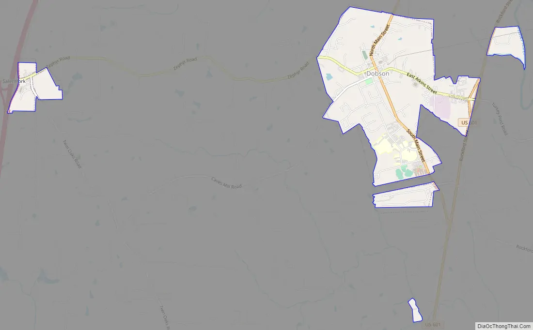
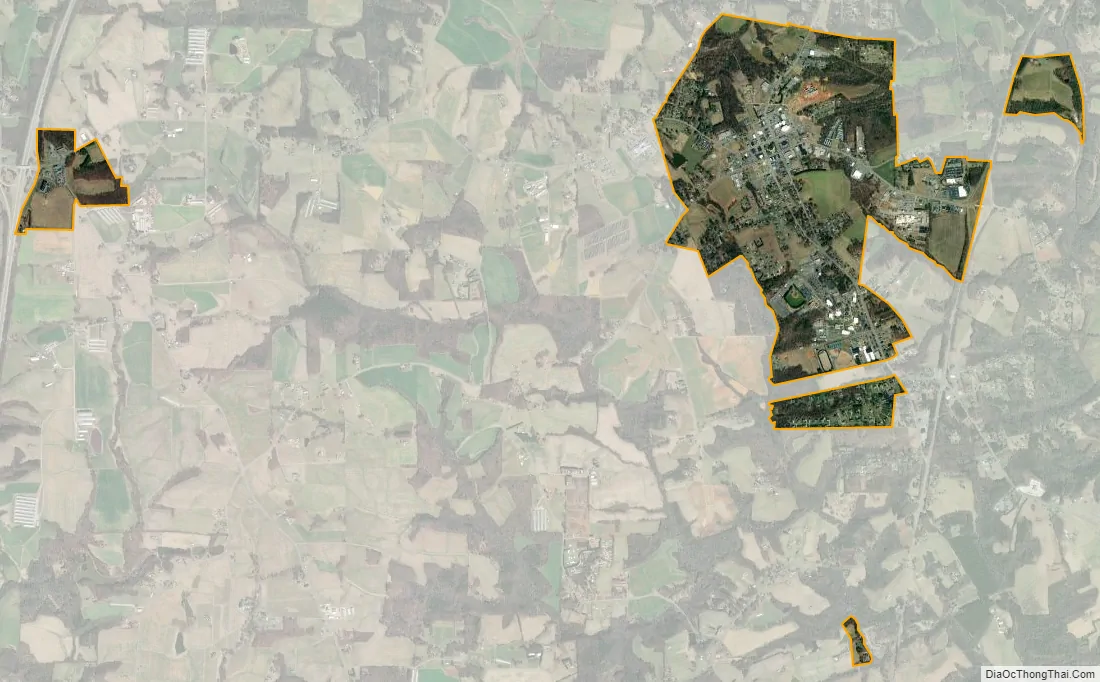
Dobson city Satellite Map
Geography
Dobson is located at 36°23′30″N 80°43′16″W / 36.39167°N 80.72111°W / 36.39167; -80.72111 (36.391698, -80.721126).
According to the United States Census Bureau, the town has a total area of 1.8 square miles (4.7 km), all land.
See also
Map of North Carolina State and its subdivision:- Alamance
- Alexander
- Alleghany
- Anson
- Ashe
- Avery
- Beaufort
- Bertie
- Bladen
- Brunswick
- Buncombe
- Burke
- Cabarrus
- Caldwell
- Camden
- Carteret
- Caswell
- Catawba
- Chatham
- Cherokee
- Chowan
- Clay
- Cleveland
- Columbus
- Craven
- Cumberland
- Currituck
- Dare
- Davidson
- Davie
- Duplin
- Durham
- Edgecombe
- Forsyth
- Franklin
- Gaston
- Gates
- Graham
- Granville
- Greene
- Guilford
- Halifax
- Harnett
- Haywood
- Henderson
- Hertford
- Hoke
- Hyde
- Iredell
- Jackson
- Johnston
- Jones
- Lee
- Lenoir
- Lincoln
- Macon
- Madison
- Martin
- McDowell
- Mecklenburg
- Mitchell
- Montgomery
- Moore
- Nash
- New Hanover
- Northampton
- Onslow
- Orange
- Pamlico
- Pasquotank
- Pender
- Perquimans
- Person
- Pitt
- Polk
- Randolph
- Richmond
- Robeson
- Rockingham
- Rowan
- Rutherford
- Sampson
- Scotland
- Stanly
- Stokes
- Surry
- Swain
- Transylvania
- Tyrrell
- Union
- Vance
- Wake
- Warren
- Washington
- Watauga
- Wayne
- Wilkes
- Wilson
- Yadkin
- Yancey
- Alabama
- Alaska
- Arizona
- Arkansas
- California
- Colorado
- Connecticut
- Delaware
- District of Columbia
- Florida
- Georgia
- Hawaii
- Idaho
- Illinois
- Indiana
- Iowa
- Kansas
- Kentucky
- Louisiana
- Maine
- Maryland
- Massachusetts
- Michigan
- Minnesota
- Mississippi
- Missouri
- Montana
- Nebraska
- Nevada
- New Hampshire
- New Jersey
- New Mexico
- New York
- North Carolina
- North Dakota
- Ohio
- Oklahoma
- Oregon
- Pennsylvania
- Rhode Island
- South Carolina
- South Dakota
- Tennessee
- Texas
- Utah
- Vermont
- Virginia
- Washington
- West Virginia
- Wisconsin
- Wyoming