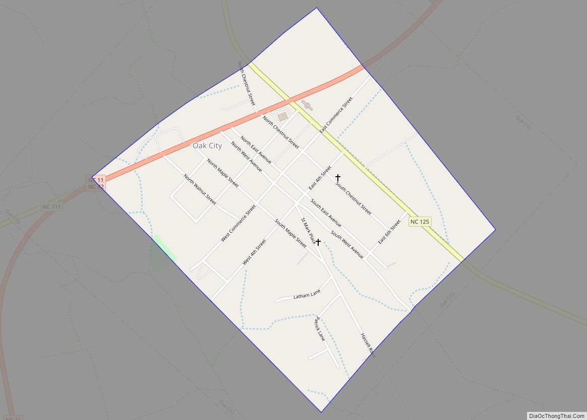
Oak City, formerly known as Goose Nest, is a town in Martin County, North Carolina, United States. The population was 317 at the 2010 census. Oak City town overview: Name: Oak City town LSAD Code: 43 LSAD Description: town (suffix) State: North Carolina County: Martin County Elevation: 82 ft (25 m) Total Area: 1.00 sq mi (2.60 km²) Land Area: ... Read more
North Carolina Cities and Places
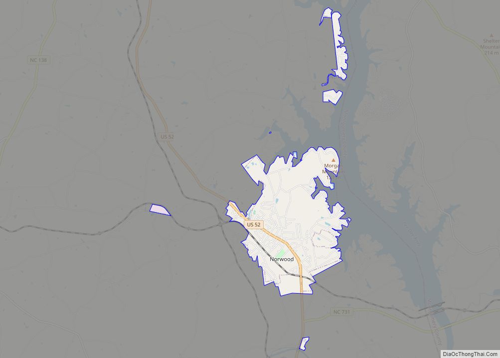
Norwood is a town in Stanly County, North Carolina, United States. The population was 2,379 at the 2010 census. Norwood town overview: Name: Norwood town LSAD Code: 43 LSAD Description: town (suffix) State: North Carolina County: Stanly County Elevation: 407 ft (124 m) Total Area: 4.55 sq mi (11.78 km²) Land Area: 4.54 sq mi (11.75 km²) Water Area: 0.01 sq mi (0.03 km²) Total Population: ... Read more
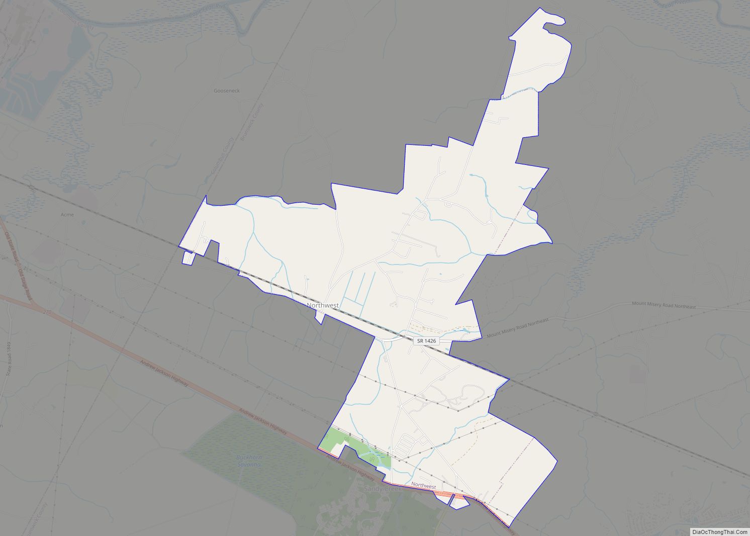
Northwest is a city in Brunswick County, North Carolina, United States. The population was 735 at the 2010 census. It is part of the Myrtle Beach metropolitan area. Northwest city overview: Name: Northwest city LSAD Code: 25 LSAD Description: city (suffix) State: North Carolina County: Brunswick County Elevation: 52 ft (16 m) Total Area: 7.17 sq mi (18.57 km²) Land ... Read more
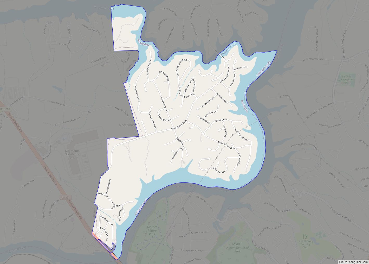
Northlakes is an unincorporated community and census-designated place (CDP) in Caldwell County, North Carolina, United States. It is part of the Hickory–Lenoir–Morganton Metropolitan Statistical Area. Northlakes CDP overview: Name: Northlakes CDP LSAD Code: 57 LSAD Description: CDP (suffix) State: North Carolina County: Caldwell County Elevation: 932 ft (284 m) Total Area: 1.91 sq mi (4.94 km²) Land Area: 1.49 sq mi (3.86 km²) ... Read more
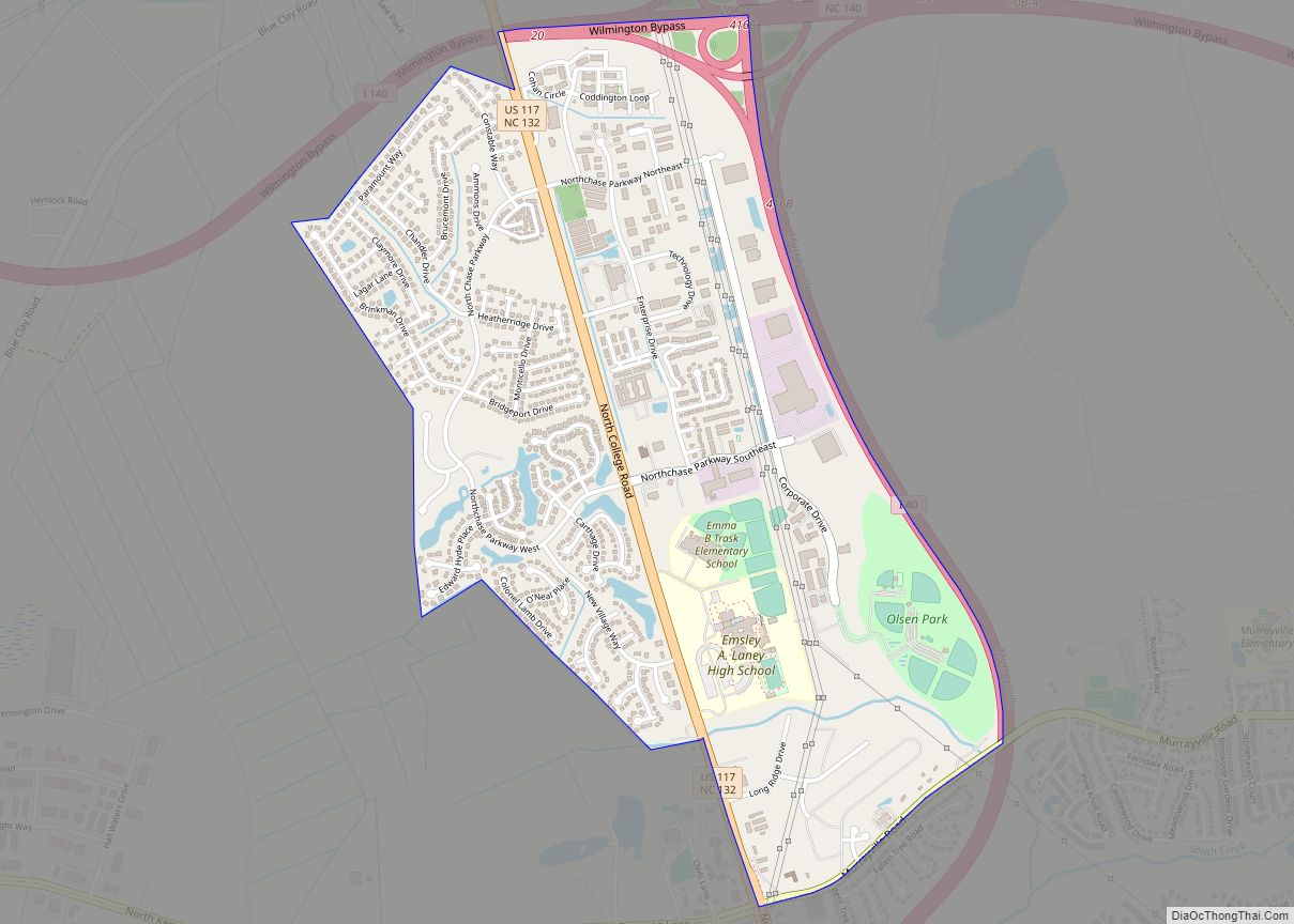
Northchase is an unincorporated community and census-designated place in New Hanover County, North Carolina, United States. Its population was 3,747 as of the 2010 census. U.S. Route 117 passes through the community. Northchase CDP overview: Name: Northchase CDP LSAD Code: 57 LSAD Description: CDP (suffix) State: North Carolina County: New Hanover County Elevation: 36 ft (11 m) ... Read more
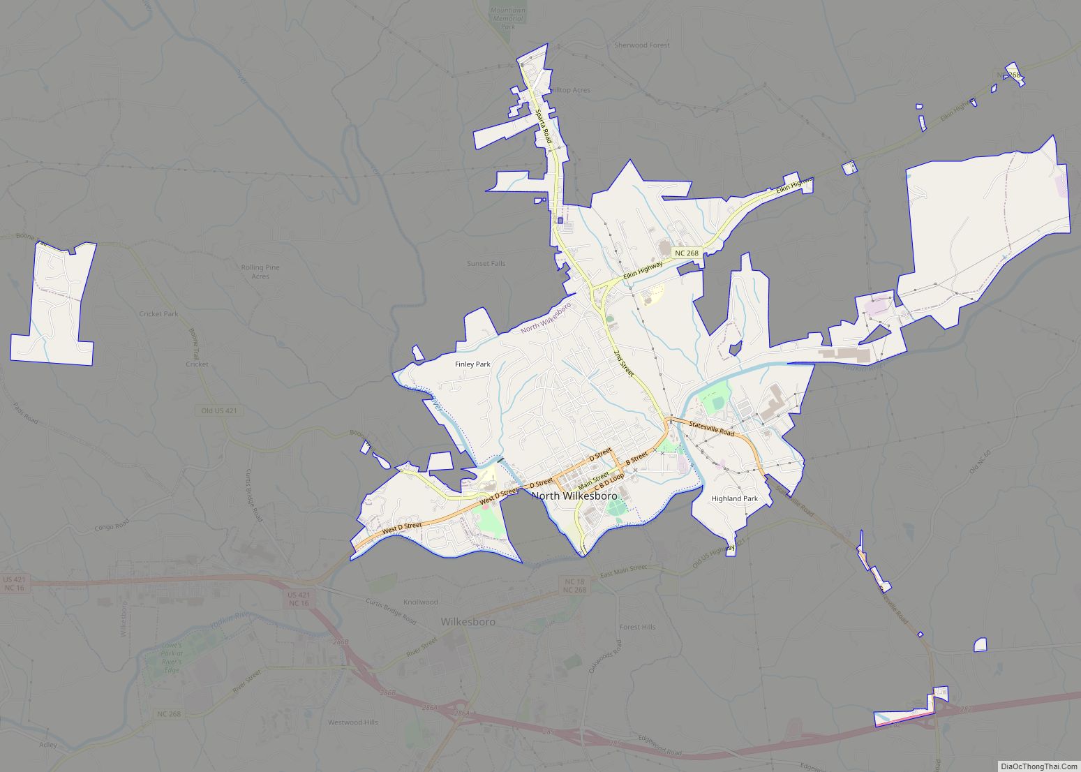
North Wilkesboro is a town in Wilkes County, North Carolina, United States. The population was 4,131 at the 2020 US Census. North Wilkesboro is the birthplace and original home of Lowe’s Home Improvement, which continues to have a major presence in the community. The town is also known as one of the birthplaces of the ... Read more
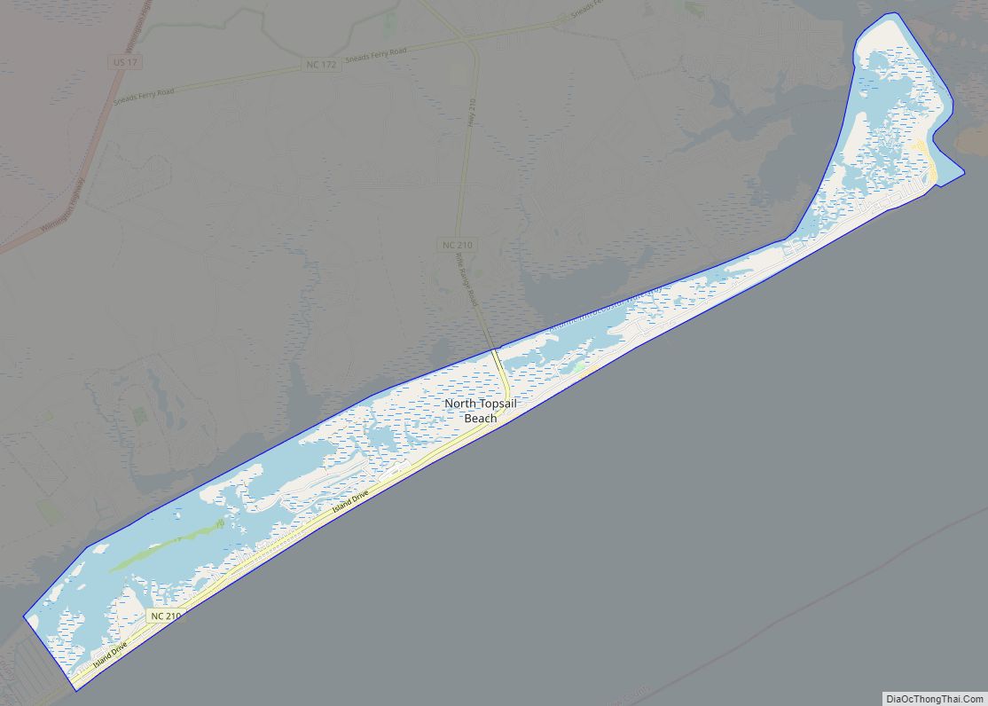
North Topsail Beach is a town in Onslow County, North Carolina, United States. The 2010 population was 743. It is located on Topsail Island. North Topsail Beach is part of the Jacksonville, North Carolina Metropolitan Statistical Area. North Topsail Beach town overview: Name: North Topsail Beach town LSAD Code: 43 LSAD Description: town (suffix) State: ... Read more
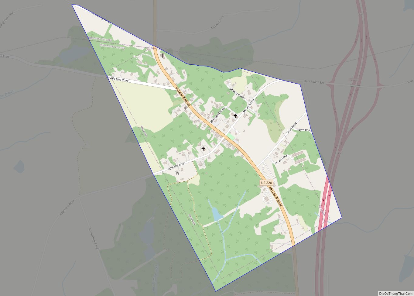
Norman is a town in Richmond County, North Carolina, United States. The population was 138 at the 2010 census. Norman town overview: Name: Norman town LSAD Code: 43 LSAD Description: town (suffix) State: North Carolina County: Richmond County Elevation: 646 ft (197 m) Total Area: 0.56 sq mi (1.46 km²) Land Area: 0.56 sq mi (1.46 km²) Water Area: 0.00 sq mi (0.00 km²) Total Population: ... Read more
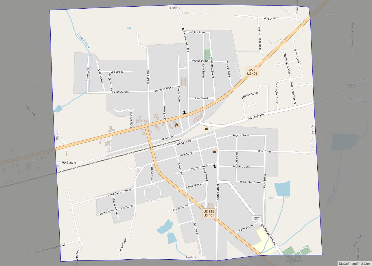
Norlina is a town in Warren County, North Carolina, United States. The population was 1,118 at the 2010 census. Norlina town overview: Name: Norlina town LSAD Code: 43 LSAD Description: town (suffix) State: North Carolina County: Warren County Elevation: 423 ft (129 m) Total Area: 1.12 sq mi (2.90 km²) Land Area: 1.11 sq mi (2.88 km²) Water Area: 0.01 sq mi (0.02 km²) Total Population: ... Read more
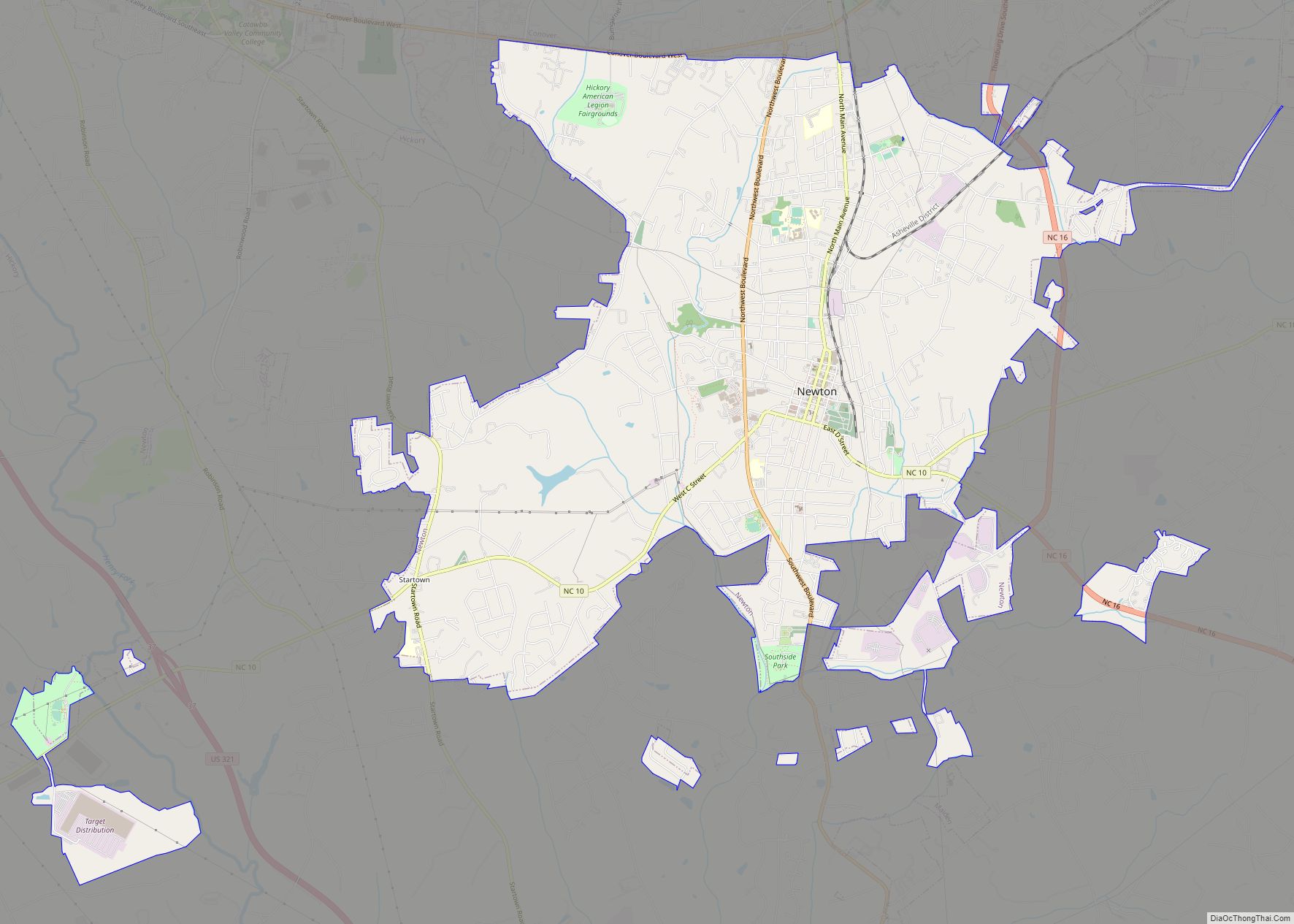
Newton is a city in Catawba County, North Carolina, United States. As of the 2010 census, the city had a population of 12,968. It is the county seat of Catawba County. Newton is part of the Hickory–Lenoir–Morganton Metropolitan Statistical Area. Newton city overview: Name: Newton city LSAD Code: 25 LSAD Description: city (suffix) State: North ... Read more
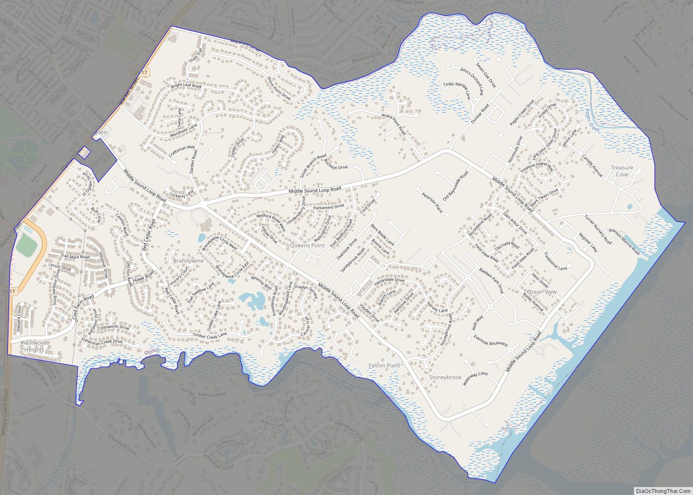
Ogden is a census-designated place (CDP) in New Hanover County, North Carolina, United States. It is both a suburb of the city of Wilmington and part of the Wilmington Metropolitan Statistical Area. The population was 6,766 at the 2010 census, up from 5,481 in 2000. Ogden CDP overview: Name: Ogden CDP LSAD Code: 57 LSAD ... Read more
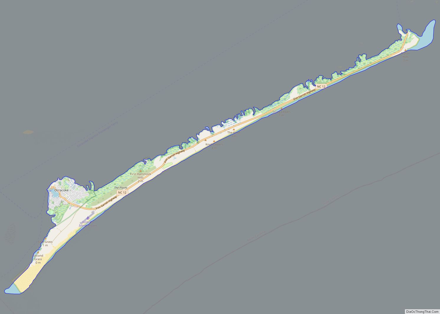
Ocracoke /ˈoʊkrəkoʊk/ is a census-designated place (CDP) and unincorporated town located at the southern end of Ocracoke Island, located entirely within Hyde County, North Carolina, United States. The population was 948 as of the 2010 census. In the 2020 census, the population had dropped to 797 people. No bridges connect Ocracoke Island to the mainland, ... Read more
